
Photo: Draceane · CC BY-SA 4.0 · Wikimedia Commons
Gocta CataractsReport this photo · linked, not stored
Gocta CataractsReport this photo · linked, not stored

Photo: Francisco Sopla Masl… · CC BY-SA 3.0 · Wikimedia Commons
Cueva de AtunpampaReport this photo · linked, not stored
Cueva de AtunpampaCueva de AtunpampaReport this photo · linked, not stored

Photo: Ozesama · CC BY-SA 4.0 · Wikimedia Commons
Yumbilla FallsReport this photo · linked, not stored
Yumbilla FallsYumbilla FallsReport this photo · linked, not stored

Photo: Jaimruiz · CC BY-SA 4.0 · Wikimedia Commons
Lake PomacochaReport this photo · linked, not stored
Lake PomacochaLake PomacochaReport this photo · linked, not stored
WaterfallLámud, Amazonas
Gocta Cataracts
WaterfallBest Jun–Aug
Elevation–above sea level
Height771 mof the falls
Nearest townLámud15 km
6.02° S, 77.89° WUTC−5 · Peru Standard Time
When to goLámud · weather score
Best timeJun–Aug
October: high / low19° / 11°
Waterfall
Gocta Cataracts in brief
Gocta Cataracts is a waterfall in Lámud, Amazonas, Peru.
It drops 771 m.
The nearest town in the atlas is Lámud, 15 km to the SW, where the weather is best in June, July and August.
Weather nearby now
Forecast for Lámud20°
Rain now
Today
22 Oct
20°
11°
5 mm
Fri
23 Oct
22°
12°
4 mm
Sat
24 Oct
20°
11°
11 mm
Sun
25 Oct
21°
12°
9 mm
Mon
26 Oct
21°
10°
5 mm
Model run 00:00 UTCRefreshed several times a day
When to go
Climate of LámudThe best months around Gocta Cataracts
Month score in Lámud
Comfort, dry days and sunshine · out of 10053
Jan
49
Feb
48
Mar
52
Apr
68
May
77
Jun
80
Jul
85
Aug
74
Sep
62
Oct
56
Nov
54
Dec
Map
Gocta Cataracts from above
Nature nearbyAll of Peru

Photo: Francisco Sopla Masl… · CC BY-SA 3.0 · Wikimedia CommonsReport this photo · linked, not stored

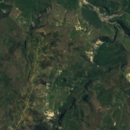
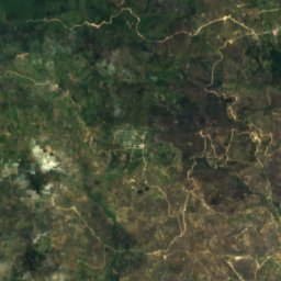
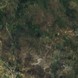
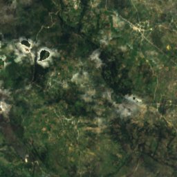
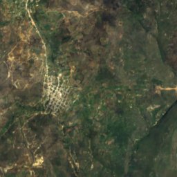
Satellite: Sentinel-2 cloudless 2016 by EOX IT Services GmbH · CC BY 4.0 · Contains modified Copernicus Sentinel data 2016

Stay nearby
Towns close by


Photo: Francisco Sopla Masl… · CC BY-SA 3.0 · Wikimedia CommonsReport this photo · linked, not stored
Jumbilla
Amazonas · 16 km NE
20°Oct high
12wet days
59score


Around here
Lámud and around
Nature
Satellite: Sentinel-2 cloudless 2016 by EOX IT Services GmbH · CC BY 4.0 · Contains modified Copernicus Sentinel data 2016
Caverna de Quiocta
Cave
Photo: Francisco Sopla Masl… · CC BY-SA 3.0 · Wikimedia CommonsReport this photo · linked, not stored
Cueva de Atunpampa
Cave
Heritage
Satellite: Sentinel-2 cloudless 2016 by EOX IT Services GmbH · CC BY 4.0 · Contains modified Copernicus Sentinel data 2016
Pueblo de los Muertos
cultural heritage of Peru


Satellite: Sentinel-2 cloudless 2016 by EOX IT Services GmbH · CC BY 4.0 · Contains modified Copernicus Sentinel data 2016
Santa Ana Church, Amazonas
cultural heritage of Peru
Museums
Satellite: Sentinel-2 cloudless 2016 by EOX IT Services GmbH · CC BY 4.0 · Contains modified Copernicus Sentinel data 2016