

Photo: Berthold Werner · Public domain · Wikimedia Commons
Pool of BethesdaReport this photo · linked, not stored
Pool of BethesdaPool of BethesdaReport this photo · linked, not stored

Photo: Diego Delso · CC BY-SA 3.0 · Wikimedia Commons
Grotto of the Holy CrossReport this photo · linked, not stored
Grotto of the Holy CrossGrotto of the Holy CrossReport this photo · linked, not stored

Photo: Ori~ · Attribution · Wikimedia Commons
Grotto of GethsemaneReport this photo · linked, not stored
Grotto of GethsemaneGrotto of GethsemaneReport this photo · linked, not stored

Photo: Ranbar at Hebrew Wikipedia · CC BY-SA 2.5 · Wikimedia Commons
Hezekiah's PoolReport this photo · linked, not stored
Hezekiah's PoolHezekiah's PoolReport this photo · linked, not stored
CaveWadi al-Joz, West Bank
Well of Souls
CaveBest Apr–May · Oct
Elevation–above sea level
Inside19°Call year
Nearest townWadi al-Joz1.3 km
31.78° N, 35.24° EUTC+3 · Eastern European Summer Time
When to goWadi al-Joz · weather score
Best timeApr–May · Oct
October: high / low26° / 18°
Cave
Well of Souls in brief
Well of Souls is a cave in Wadi al-Joz, West Bank, Palestine — Cave in the Dome of the Rock, Jerusalem, underneath the Foundation stone.
The nearest town in the atlas is Wadi al-Joz, 1.3 km to the N, where the weather is best in April, May and October.
Inside, a cave stays close to the average yearly air temperature outside: about 19°C all year.
Weather nearby now
Forecast for Wadi al-Joz26°
Partly cloudy now
Today
22 Oct
28°
20°
Fri
23 Oct
29°
22°
Sat
24 Oct
27°
20°
Sun
25 Oct
26°
18°
Mon
26 Oct
26°
16°
Model run 00:00 UTCRefreshed several times a day
When to go
Climate of Wadi al-JozThe best months around Well of Souls
Month score in Wadi al-Joz
Comfort, dry days and sunshine · out of 10051
Jan
62
Feb
86
Mar
92
Apr
90
May
82
Jun
76
Jul
74
Aug
81
Sep
89
Oct
88
Nov
67
Dec
Map
Well of Souls from above
Nature nearbyAll of Palestine


Photo: Ranbar at Hebrew Wikipedia · CC BY-SA 2.5 · Wikimedia CommonsReport this photo · linked, not stored


Photo: Photo Taken by User:EdoM · Public domain · Wikimedia CommonsReport this photo · linked, not stored
Summits nearbyMountains of Palestine

Photo: Hagai Agmon-Snir حچاي اچمون-سنير חגי אגמון-שניר · CC BY-SA 4.0 · Wikimedia CommonsReport this photo · linked, not stored

Photo: Andrew Shiva / Wikipedia · CC BY-SA 4.0 · Wikimedia CommonsReport this photo · linked, not stored

Photo: Hagai Agmon-Snir حچاي اچمون-سنير חגי אגמון-שניר · CC BY-SA 4.0 · Wikimedia CommonsReport this photo · linked, not stored
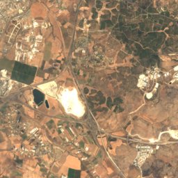
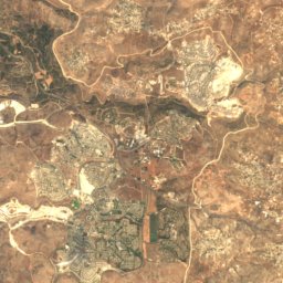
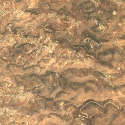
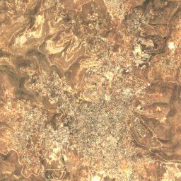
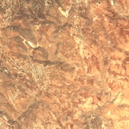
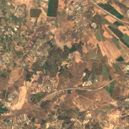
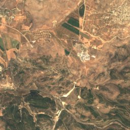
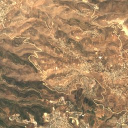
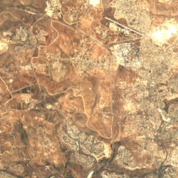
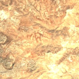
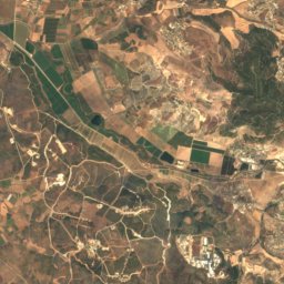
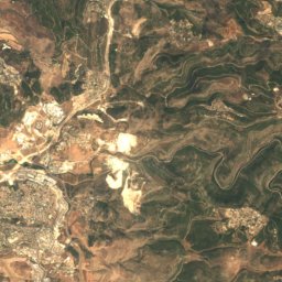
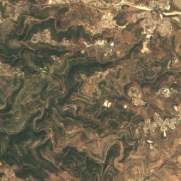
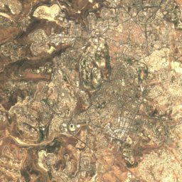
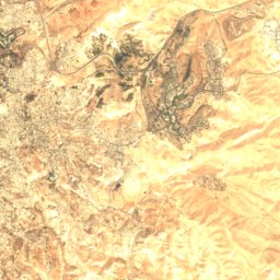
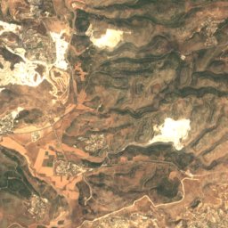
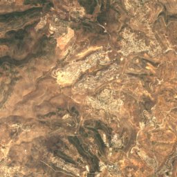
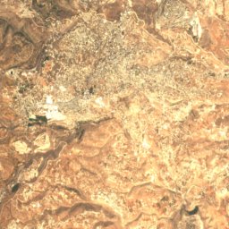
Satellite: Sentinel-2 cloudless 2016 by EOX IT Services GmbH · CC BY 4.0 · Contains modified Copernicus Sentinel data 2016
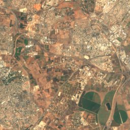
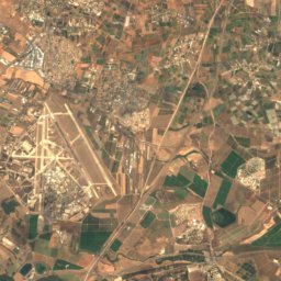
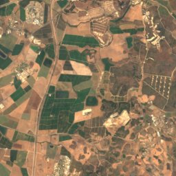
Satellite: Sentinel-2 cloudless 2016 by EOX IT Services GmbH · CC BY 4.0 · Contains modified Copernicus Sentinel data 2016
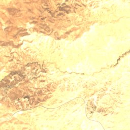
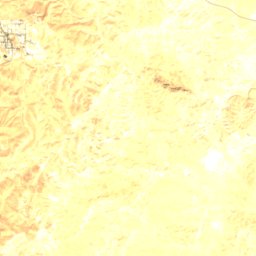
Stay nearby
Towns close by
Satellite: Sentinel-2 cloudless 2016 by EOX IT Services GmbH · CC BY 4.0 · Contains modified Copernicus Sentinel data 2016
Wadi al-Joz
West Bank · 1.3 km N
26°Oct high
2wet days
89score

Around here
Wadi al-Joz and around
Satellite: Sentinel-2 cloudless 2016 by EOX IT Services GmbH · CC BY 4.0 · Contains modified Copernicus Sentinel data 2016
Wadi al-Joz
West Bank · Palestine
Apr–May · Octbest months
31°July high
743 maltitude
Nature


Mountains

Photo: Hagai Agmon-Snir حچاي اچمون-سنير חגי אגמון-שניר · CC BY-SA 4.0 · Wikimedia CommonsReport this photo · linked, not stored
Mount Herzl
834 m · Jerusalem mountains
Photo: Hagai Agmon-Snir حچاي اچمون-سنير חגי אגמון-שניר · CC BY-SA 4.0 · Wikimedia CommonsReport this photo · linked, not stored
Mount Scopus
826 m · Mount of Olives ridge

Photo: Andrew Shiva / Wikipedia · CC BY-SA 4.0 · Wikimedia CommonsReport this photo · linked, not stored
Mount of Olives
826 m · Mount of Olives ridge
Heritage

Photo: https://www.flickr.com/photos/jlascar/ · CC BY 2.0 · Wikimedia CommonsReport this photo · linked, not stored
Church of the Holy Sepulchre
part of UNESCO World Heritage Site · 335

Photo: איתן פרמן 13:56, 4 December 2006 (UTC) · Public domain · Wikimedia CommonsReport this photo · linked, not stored
Walls of Jerusalem
part of UNESCO World Heritage Site · 18 BC

Church of Our Lady of the Spasm, Jerusalem
heritage site in Israel · 1881
Museums

Photo: Original uploader was אסף.צ at he.wikipedia · CC BY-SA 3.0 · Wikimedia CommonsReport this photo · linked, not stored
Israel Museum
Art museum · 1965


