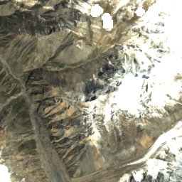
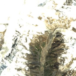
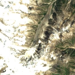
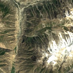
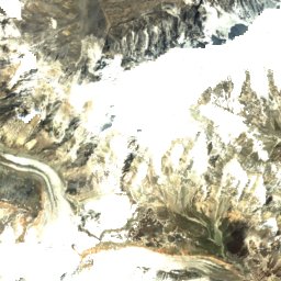
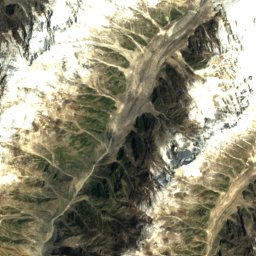
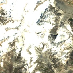
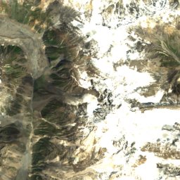
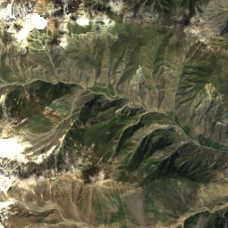
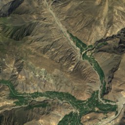
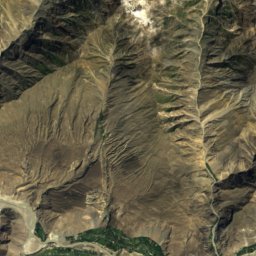
Photo: Contains modified Copernicus Sentinel data 2021 · Attribution · Wikimedia Commons
Batura GlacierReport this photo · linked, not stored
Batura GlacierReport this photo · linked, not stored
 Passu Glacier

Photo: Akbar Khan Niazi · CC BY-SA 3.0 · Wikimedia Commons
Ghulkīn GlacierReport this photo · linked, not stored
Ghulkīn GlacierGhulkīn GlacierReport this photo · linked, not stored

Photo: Akbar Khan Niazi · CC BY-SA 3.0 · Wikimedia Commons
Gulmit GlacierReport this photo · linked, not stored
Gulmit GlacierGulmit GlacierReport this photo · linked, not stored

Photo: Imran Shah from Islamabad, Pakistan · CC BY-SA 2.0 · Wikimedia Commons
Muchiohul GlacierReport this photo · linked, not stored
Muchiohul GlacierMuchiohul GlacierReport this photo · linked, not stored
GlacierKarimabad, Gilgit-Baltistan
Batura Glacier
GlacierBest Jul–Sep
Elevation–above sea level
Area244 km²surface
Nearest townKarimabad23 km
36.53° N, 74.65° EUTC+5 · Pakistan Standard Time
When to goKarimabad · weather score
Best timeJul–Sep
October: high / low4° / -9°
Glacier
Batura Glacier in brief
Batura Glacier is a glacier in Karimabad, Gilgit-Baltistan, Pakistan.
It covers about 244 km².
The nearest town in the atlas is Karimabad, 23 km to the S, where the weather is best in July, August and September.
Weather nearby now
Forecast for Karimabad0°
Clear now
Today
22 Oct
7°
-7°
Fri
23 Oct
7°
-9°
Sat
24 Oct
8°
-7°
Sun
25 Oct
8°
-6°
Mon
26 Oct
8°
-5°
Model run 00:00 UTCRefreshed several times a day
Map
Batura Glacier from above
Nature nearbyAll of Pakistan
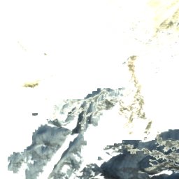
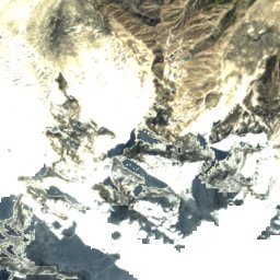
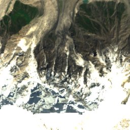
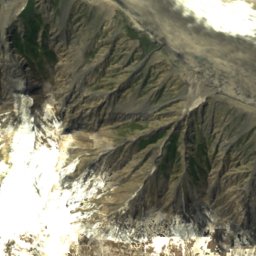
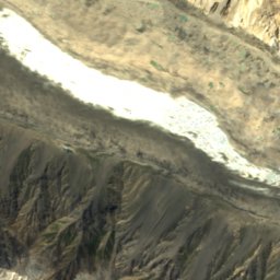
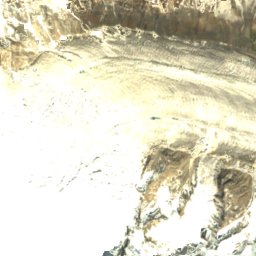
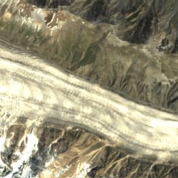
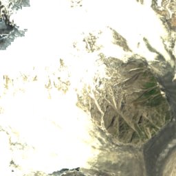
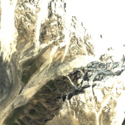
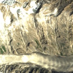
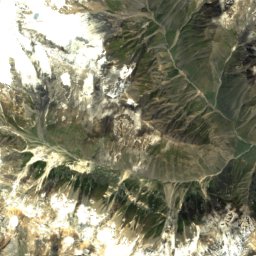
Satellite: Sentinel-2 cloudless 2016 by EOX IT Services GmbH · CC BY 4.0 · Contains modified Copernicus Sentinel data 2016


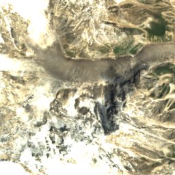
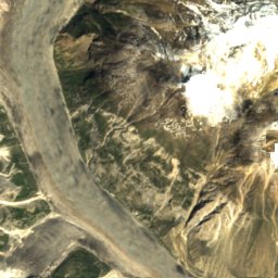
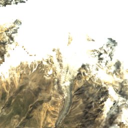
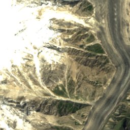
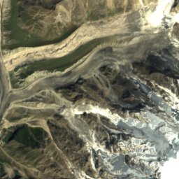
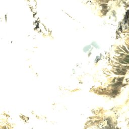
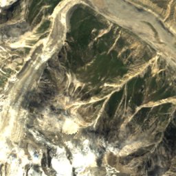
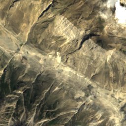
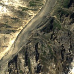
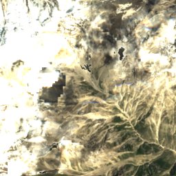
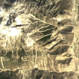
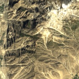
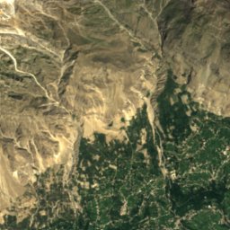
Satellite: Sentinel-2 cloudless 2016 by EOX IT Services GmbH · CC BY 4.0 · Contains modified Copernicus Sentinel data 2016

Photo: Imran Shah from Islamabad, Pakistan · CC BY-SA 2.0 · Wikimedia CommonsReport this photo · linked, not stored
Summits nearbyMountains of Pakistan

Photo: Imran Shah from Islamabad, Pakistan · CC BY-SA 2.0 · Wikimedia CommonsReport this photo · linked, not stored
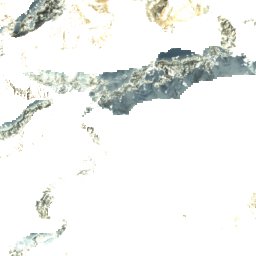
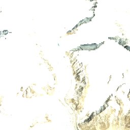
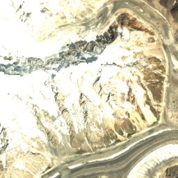
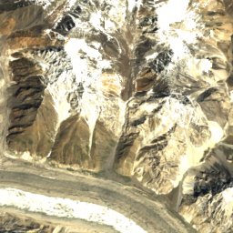
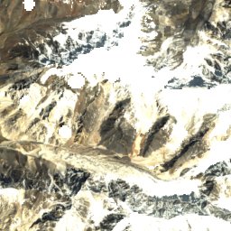
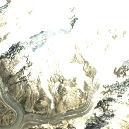
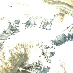
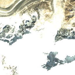
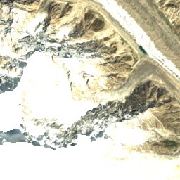
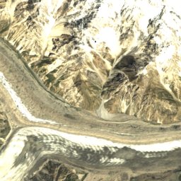
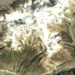
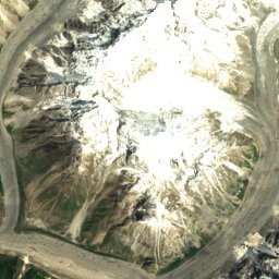
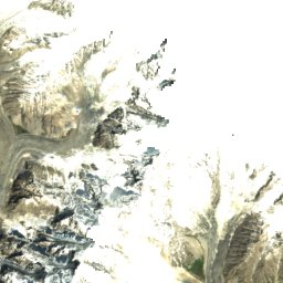
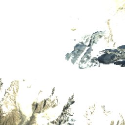
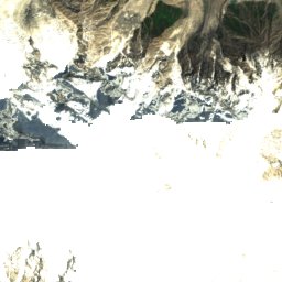
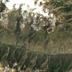
Satellite: Sentinel-2 cloudless 2016 by EOX IT Services GmbH · CC BY 4.0 · Contains modified Copernicus Sentinel data 2016
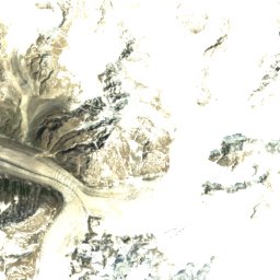
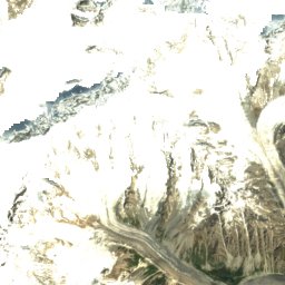
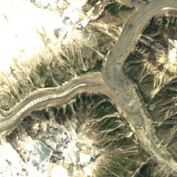
Satellite: Sentinel-2 cloudless 2016 by EOX IT Services GmbH · CC BY 4.0 · Contains modified Copernicus Sentinel data 2016
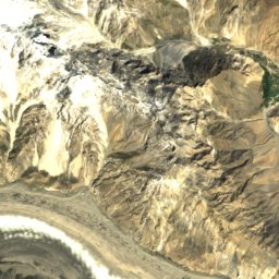
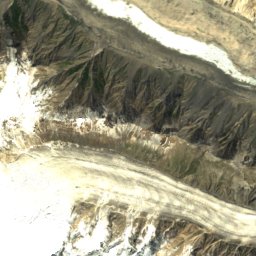
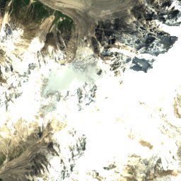
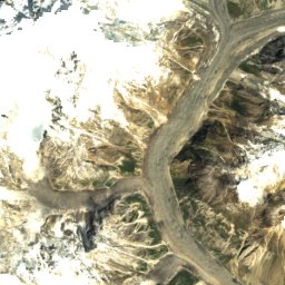
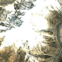
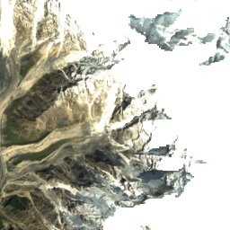
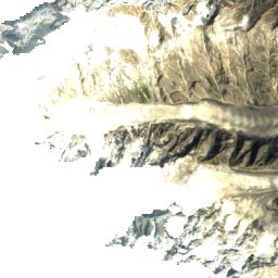
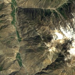
Satellite: Sentinel-2 cloudless 2016 by EOX IT Services GmbH · CC BY 4.0 · Contains modified Copernicus Sentinel data 2016
Satellite: Sentinel-2 cloudless 2016 by EOX IT Services GmbH · CC BY 4.0 · Contains modified Copernicus Sentinel data 2016

Photo: Eleutherosmartin at English Wikipedia · CC BY-SA 3.0 · Wikimedia CommonsReport this photo · linked, not stored
Stay nearby
Towns close by


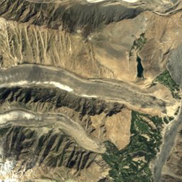
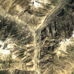
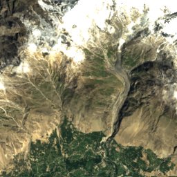
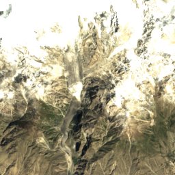
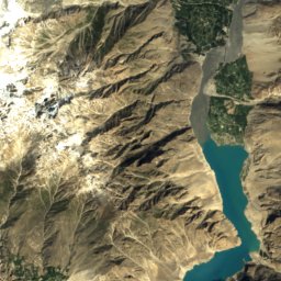
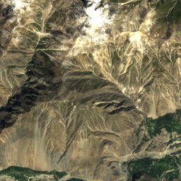
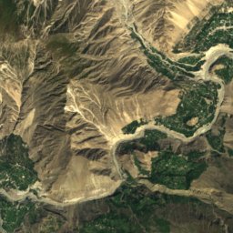
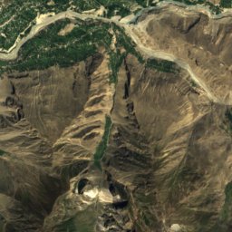
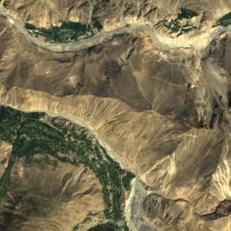
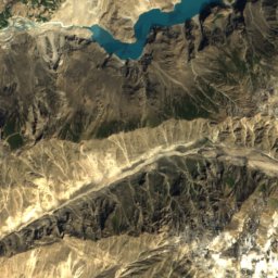
Satellite: Sentinel-2 cloudless 2016 by EOX IT Services GmbH · CC BY 4.0 · Contains modified Copernicus Sentinel data 2016
Barishal
Gilgit-Baltistan · 24 km S
3°Oct high
2wet days
54score

Around here
Karimabad and around
Nature
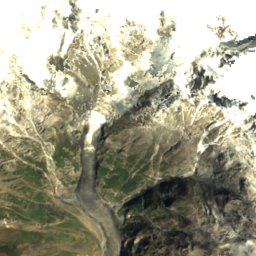
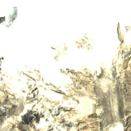
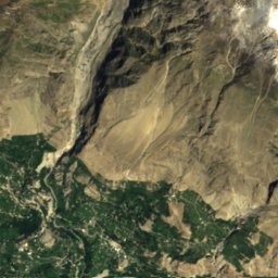
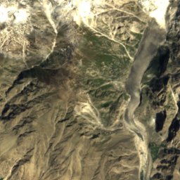
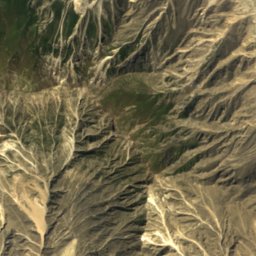
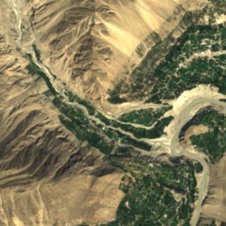
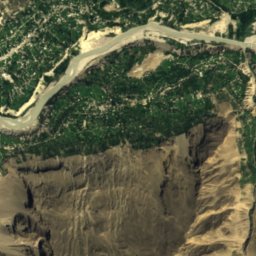
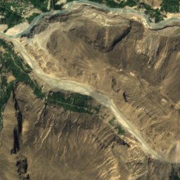
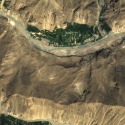
Satellite: Sentinel-2 cloudless 2016 by EOX IT Services GmbH · CC BY 4.0 · Contains modified Copernicus Sentinel data 2016
Hispar River
River
Satellite: Sentinel-2 cloudless 2016 by EOX IT Services GmbH · CC BY 4.0 · Contains modified Copernicus Sentinel data 2016
Shispare Glacier
Glacier
Mountains

Photo: Imran Shah from Islamabad, Pakistan · CC BY-SA 2.0 · Wikimedia CommonsReport this photo · linked, not stored
Batura Sar
7,795 m · Batura Muztagh