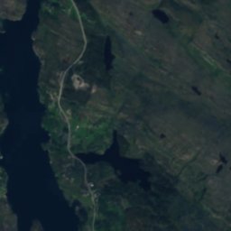
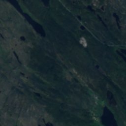
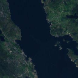
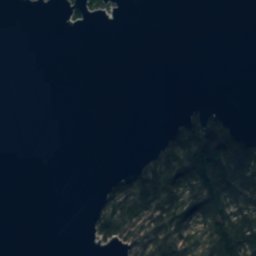
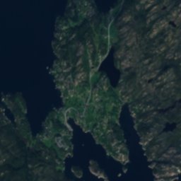
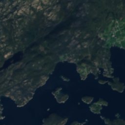
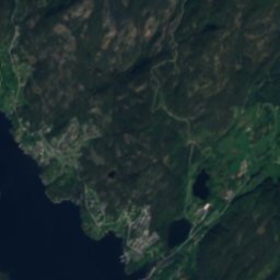
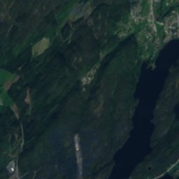
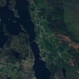


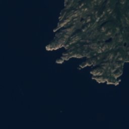
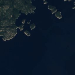
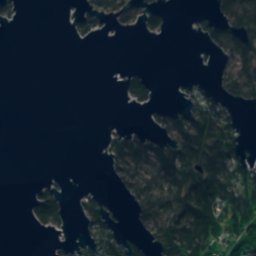
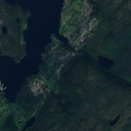
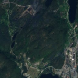
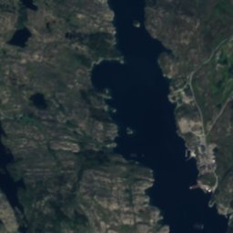
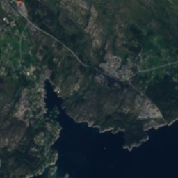
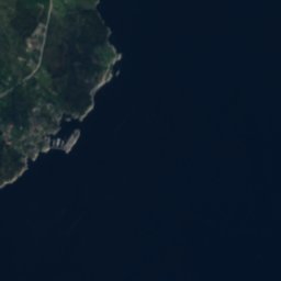


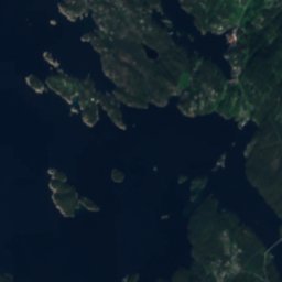
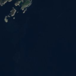
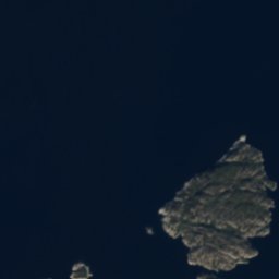
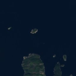

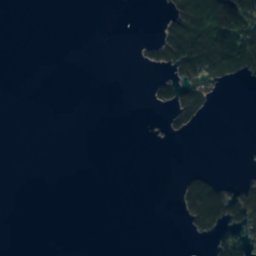
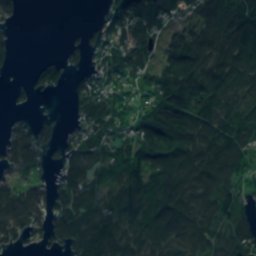
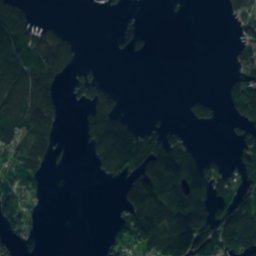
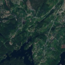
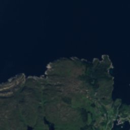
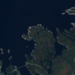
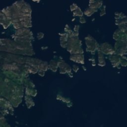
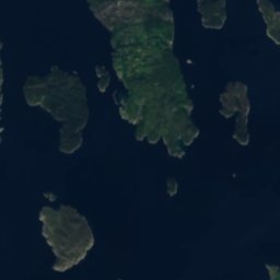
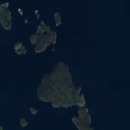
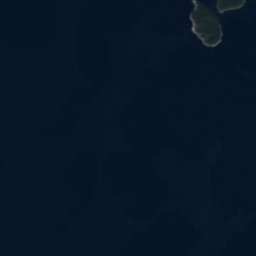
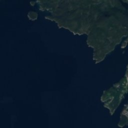
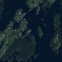
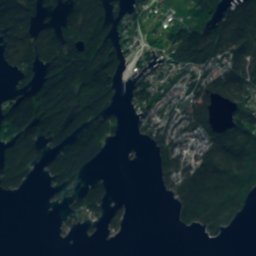
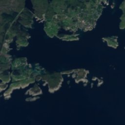
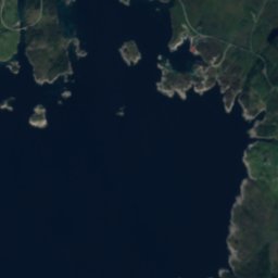
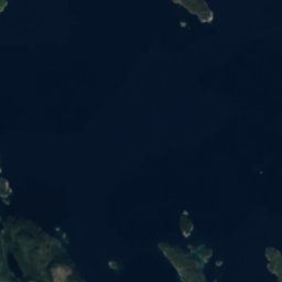


Satellite: Sentinel-2 cloudless 2016 by EOX IT Services GmbH · CC BY 4.0 · Contains modified Copernicus Sentinel data 2016

Photo: Bjoertvedt · CC BY-SA 3.0 · Wikimedia Commons
Skorpo, BjørnafjordenReport this photo · linked, not stored
Skorpo, BjørnafjordenSkorpo, BjørnafjordenReport this photo · linked, not stored

Photo: Frode H. Korneliussen · CC BY-SA 4.0 · Wikimedia Commons
HausdalshorgaReport this photo · linked, not stored
HausdalshorgaHausdalshorgaReport this photo · linked, not stored
 Livarden
 Ulriken
IslandSøre Øyane, Vestland
Teistaflua
IslandBest Jun–Aug
Elevation–above sea level
Area–surface
Nearest townSøre Øyane4.9 km
60.16° N, 5.29° EUTC+2 · Central European Summer Time
When to goSøre Øyane · weather score
Best timeJun–Aug
October: high / low11° / 6°
Island
Teistaflua in brief
Teistaflua is an island in Søre Øyane, Vestland, Norway.
The nearest town is Søre Øyane, 4.9 km to the SE, where the weather is best in June, July and August.
Weather nearby now
Forecast for Søre Øyane13°
Rain now
Today
25 Oct
13°
9°
6 mm
Mon
26 Oct
11°
8°
11 mm
Tue
27 Oct
15°
10°
22 mm
Wed
28 Oct
10°
10°
39 mm
Thu
29 Oct
10°
6°
5 mm
Model run 12:00 UTCRefreshed several times a day
When to go
Climate of Søre ØyaneThe best months around Teistaflua
Month score in Søre Øyane
Comfort, dry days and sunshine · out of 10014
Jan
15
Feb
15
Mar
19
Apr
42
May
55
Jun
62
Jul
61
Aug
48
Sep
24
Oct
16
Nov
15
Dec
Map
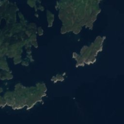
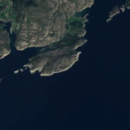
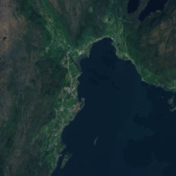
Teistaflua from above
Nature nearbyAll of Norway
Satellite: Sentinel-2 cloudless 2016 by EOX IT Services GmbH · CC BY 4.0 · Contains modified Copernicus Sentinel data 2016
Satellite: Sentinel-2 cloudless 2016 by EOX IT Services GmbH · CC BY 4.0 · Contains modified Copernicus Sentinel data 2016

Satellite: Sentinel-2 cloudless 2016 by EOX IT Services GmbH · CC BY 4.0 · Contains modified Copernicus Sentinel data 2016
Satellite: Sentinel-2 cloudless 2016 by EOX IT Services GmbH · CC BY 4.0 · Contains modified Copernicus Sentinel data 2016
Satellite: Sentinel-2 cloudless 2016 by EOX IT Services GmbH · CC BY 4.0 · Contains modified Copernicus Sentinel data 2016
Summits nearbyMountains of Norway
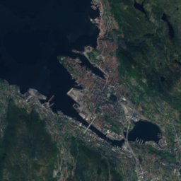
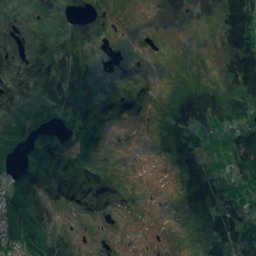
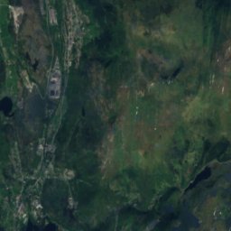
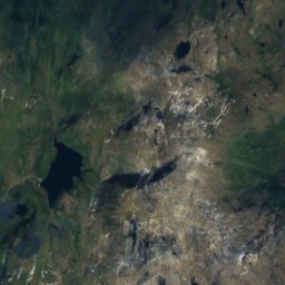
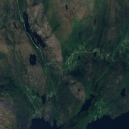
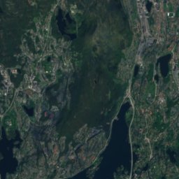
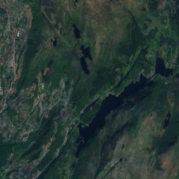
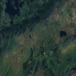
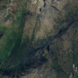
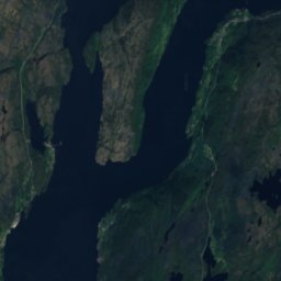
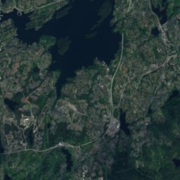
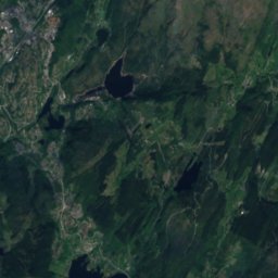
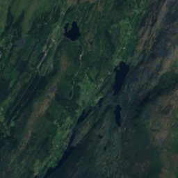
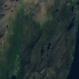
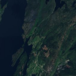
Satellite: Sentinel-2 cloudless 2016 by EOX IT Services GmbH · CC BY 4.0 · Contains modified Copernicus Sentinel data 2016

Photo: Frode H. Korneliussen · CC BY-SA 4.0 · Wikimedia CommonsReport this photo · linked, not stored


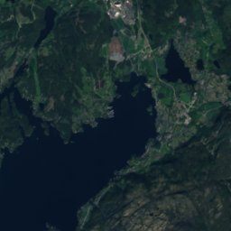
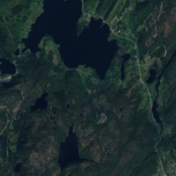
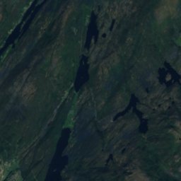
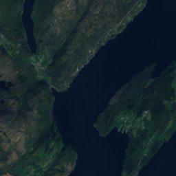
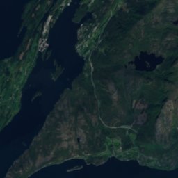
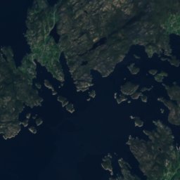
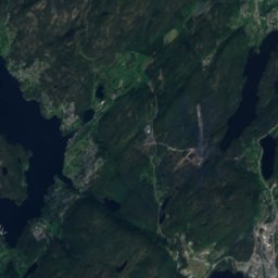
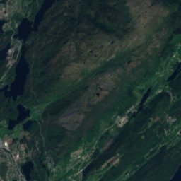
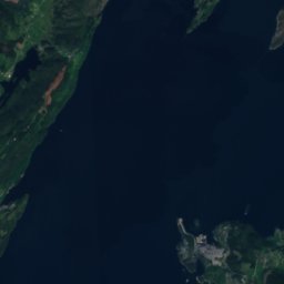
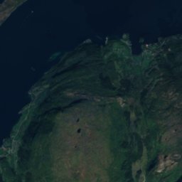
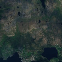
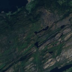
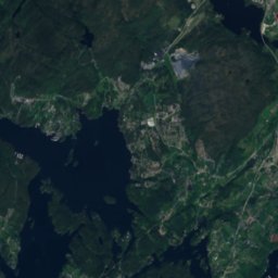
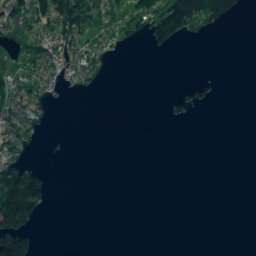
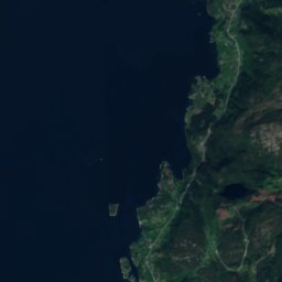
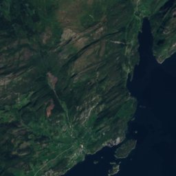
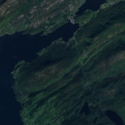
Stay nearby
Towns close by
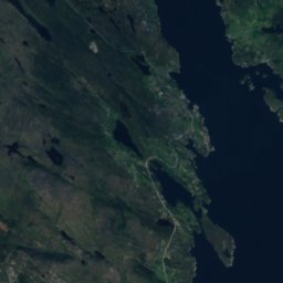
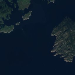
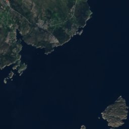
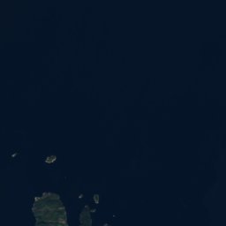
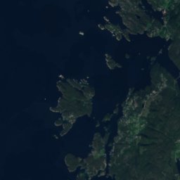
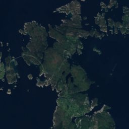
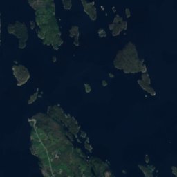
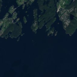
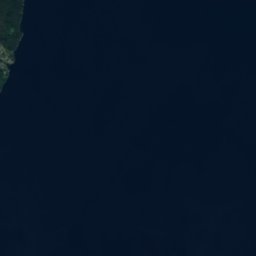
Satellite: Sentinel-2 cloudless 2016 by EOX IT Services GmbH · CC BY 4.0 · Contains modified Copernicus Sentinel data 2016
Søre Øyane
Vestland · 4.9 km SE
11°Oct high
20wet days
24score

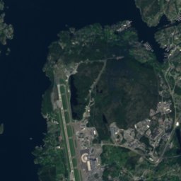
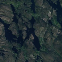
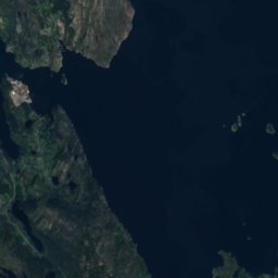
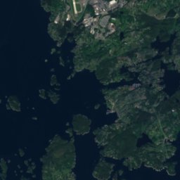
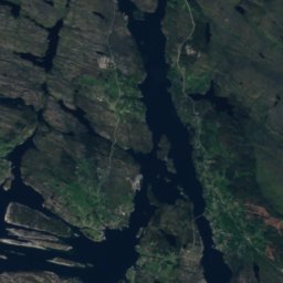
Satellite: Sentinel-2 cloudless 2016 by EOX IT Services GmbH · CC BY 4.0 · Contains modified Copernicus Sentinel data 2016
Krokeide
Vestland · 7.3 km N
11°Oct high
20wet days
22score

Around here
Søre Øyane and around
Satellite: Sentinel-2 cloudless 2016 by EOX IT Services GmbH · CC BY 4.0 · Contains modified Copernicus Sentinel data 2016
Søre Øyane
Vestland · Norway
Jun–Augbest months
19°July high
1 maltitude
Nature
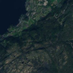
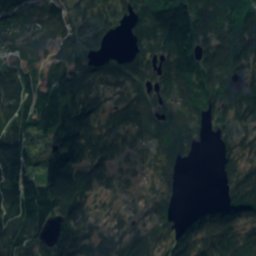
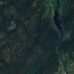
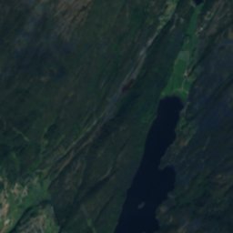
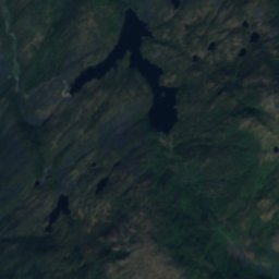
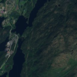
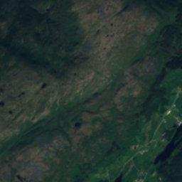
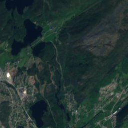
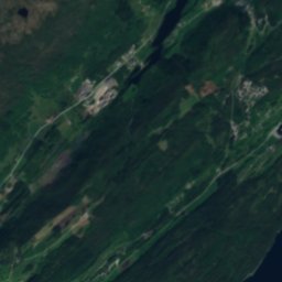
Satellite: Sentinel-2 cloudless 2016 by EOX IT Services GmbH · CC BY 4.0 · Contains modified Copernicus Sentinel data 2016
Vinddalsvatnet
Lake · 39 m
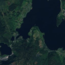
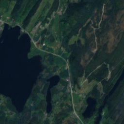
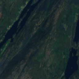
Satellite: Sentinel-2 cloudless 2016 by EOX IT Services GmbH · CC BY 4.0 · Contains modified Copernicus Sentinel data 2016
Gåssandvatnet
Lake · 45 m
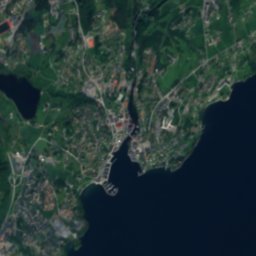
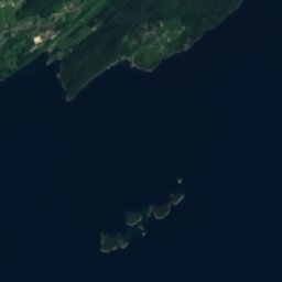
Satellite: Sentinel-2 cloudless 2016 by EOX IT Services GmbH · CC BY 4.0 · Contains modified Copernicus Sentinel data 2016
Ulvenvatnet
Lake · 40 m
Mountains
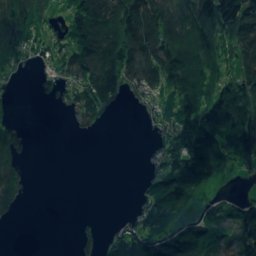
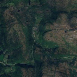
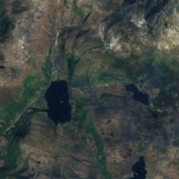
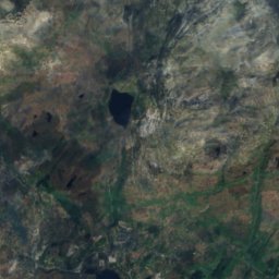
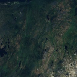
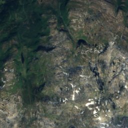
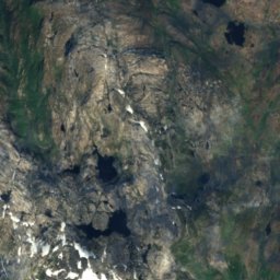
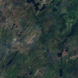
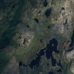
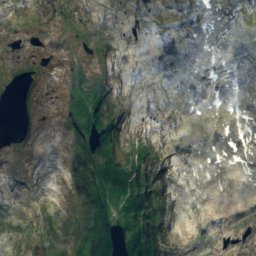
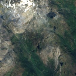
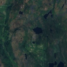
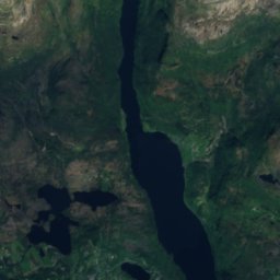
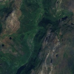
Satellite: Sentinel-2 cloudless 2016 by EOX IT Services GmbH · CC BY 4.0 · Contains modified Copernicus Sentinel data 2016
Tveitakvitingen
1,299 m

Heritage

Photo: Roger Grimelid/Riksantikvaren · CC BY-SA 4.0 · Wikimedia CommonsReport this photo · linked, not stored
Tysnes Church
cultural heritage preservation in Norway · 1867

Photo: Nelson50 at English Wikipedia · CC BY-SA 3.0 · Wikimedia CommonsReport this photo · linked, not stored
Lyse Abbey
cultural heritage preservation in Norway · 1101


