Skip to content
Destinations
Weather & climate
Nature
Outdoors
Culture
Events
Sky & live
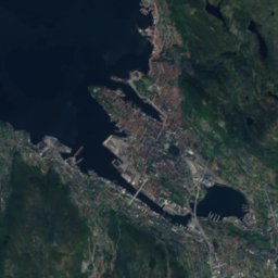
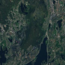
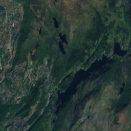
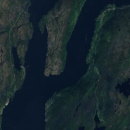
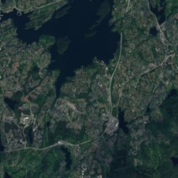
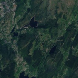
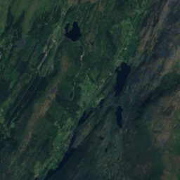
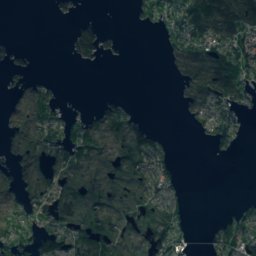
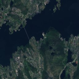
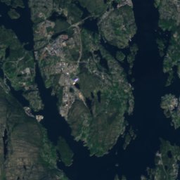
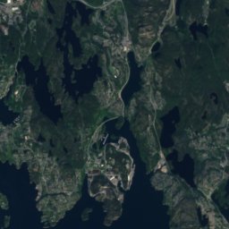
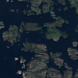
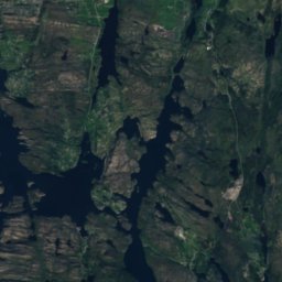
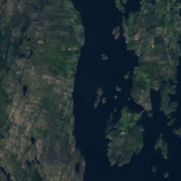
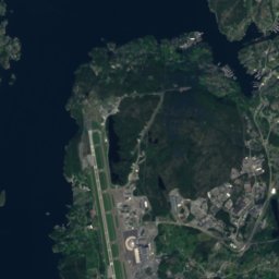
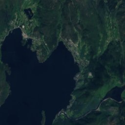
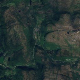
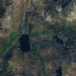
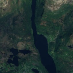
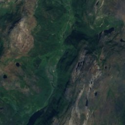
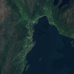
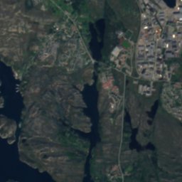
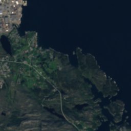
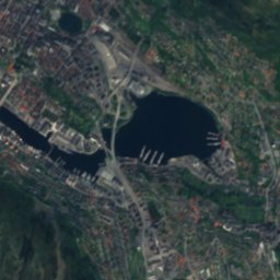
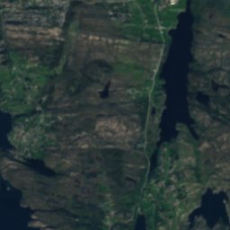
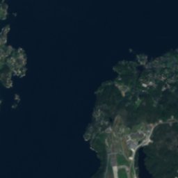
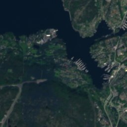
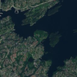
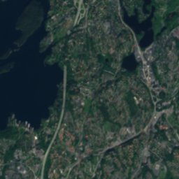
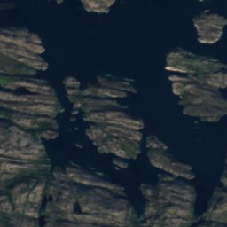
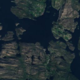
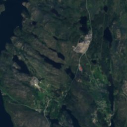
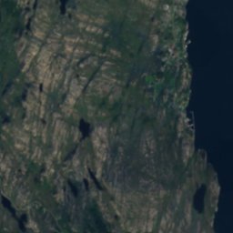
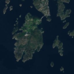
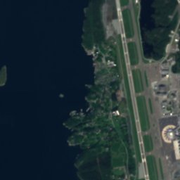
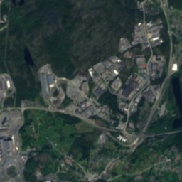
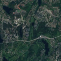
Satellite: Sentinel-2 cloudless 2016 by EOX IT Services GmbH · CC BY 4.0 · Contains modified Copernicus Sentinel data 2016
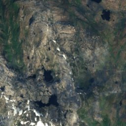
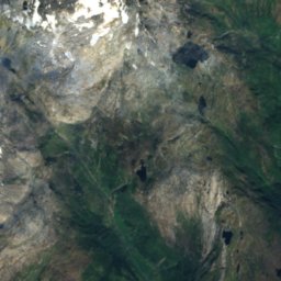
Skrubbholmen
Photo: trolvag · CC BY-SA 3.0 · Wikimedia Commons
SkrubbholmenReport this photo · linked, not stored
Skrubbholmen
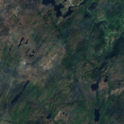
Gullfjellet
Photo: Unknown author · CC BY-SA 3.0 · Wikimedia Commons
GullfjelletReport this photo · linked, not stored
Gullfjellet
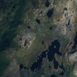
Hausdalshorga
Photo: Frode H. Korneliussen · CC BY-SA 4.0 · Wikimedia Commons
HausdalshorgaReport this photo · linked, not stored
Hausdalshorga
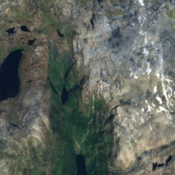
Livarden
Photo: Shark · CC BY-SA 3.0 · Wikimedia Commons
LivardenReport this photo · linked, not stored
Livarden
IslandMathopen, Vestland

Katlaflua

IslandBest Jun–Aug
Elevation–above sea level
Area–surface
Nearest townMathopen2.0 km
60.33° N, 5.18° EUTC+1 · Central European Standard Time
When to goMathopen · weather score
JanFebMarAprMayJunJulAugSepOctNovDec22October
Best timeJun–Aug
October: high / low11° / 6°
Island

Katlaflua in brief

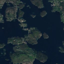
Katlaflua is an island in Mathopen, Vestland, Norway.

The nearest town is Mathopen, 2.0 km to the E, where the weather is best in June, July and August.

Mathopen: weather and travel guide

Weather nearby now

Forecast for Mathopen
10°
Rain now
Wind15 km/h
Humidity85%
Cloud cover100%
Today
25 Oct
12°
9°
7 mm
Mon
26 Oct
11°
8°
8 mm
Tue
27 Oct
15°
9°
24 mm
Wed
28 Oct
12°
9°
16 mm
Thu
29 Oct
12°
6°
1 mm

Model run 12:00 UTCRefreshed several times a day

When to go

The best months around Katlaflua

Climate of Mathopen

Month score in Mathopen

Comfort, dry days and sunshine · out of 100
14
Jan
15
Feb
15
Mar
18
Apr
40
May
53
Jun
62
Jul
61
Aug
46
Sep
22
Oct
16
Nov
15
Dec
Map

Katlaflua from above

Nature nearbyAll of Norway
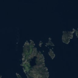
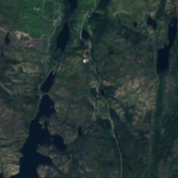
Satellite: Sentinel-2 cloudless 2016 by EOX IT Services GmbH · CC BY 4.0 · Contains modified Copernicus Sentinel data 2016
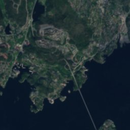
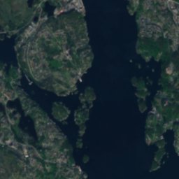
Holmen, MathopenIsland0.5 kmSWHolmen, Mathopen
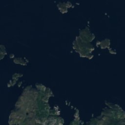
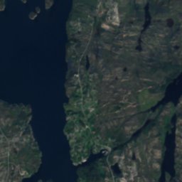
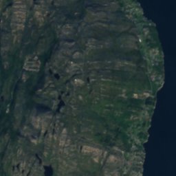
Satellite: Sentinel-2 cloudless 2016 by EOX IT Services GmbH · CC BY 4.0 · Contains modified Copernicus Sentinel data 2016
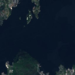
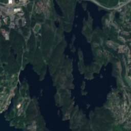
Sauholmen, VestlandIsland0.7 kmSESauholmen, Vestland
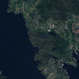
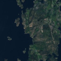
Satellite: Sentinel-2 cloudless 2016 by EOX IT Services GmbH · CC BY 4.0 · Contains modified Copernicus Sentinel data 2016
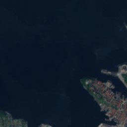
SteinsundholmaneIsland1.3 kmSWSteinsundholmane
Satellite: Sentinel-2 cloudless 2016 by EOX IT Services GmbH · CC BY 4.0 · Contains modified Copernicus Sentinel data 2016
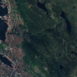
Skogholmen, AlvøenIsland1.3 kmNWSkogholmen, Alvøen
Satellite: Sentinel-2 cloudless 2016 by EOX IT Services GmbH · CC BY 4.0 · Contains modified Copernicus Sentinel data 2016
SteinsundsholmenIsland1.3 kmSWSteinsundsholmen
Photo: trolvag · CC BY-SA 3.0 · Wikimedia CommonsReport this photo · linked, not stored
SkrubbholmenIsland1.5 kmNWSkrubbholmen
Summits nearbyMountains of Norway
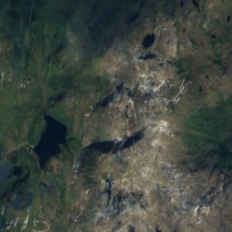
Photo: Unknown author · CC BY-SA 3.0 · Wikimedia CommonsReport this photo · linked, not stored
Gullfjellet24 km E988 mJuly 14°Gullfjellet
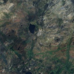
Satellite: Sentinel-2 cloudless 2016 by EOX IT Services GmbH · CC BY 4.0 · Contains modified Copernicus Sentinel data 2016
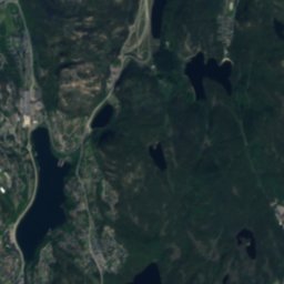
Sveningen22 km E843 mJuly 14°Sveningen
Photo: Frode H. Korneliussen · CC BY-SA 4.0 · Wikimedia CommonsReport this photo · linked, not stored
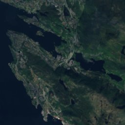
Hausdalshorga19 km E784 mJuly 15°Hausdalshorga
Satellite: Sentinel-2 cloudless 2016 by EOX IT Services GmbH · CC BY 4.0 · Contains modified Copernicus Sentinel data 2016
Skåldalsfjellet20 km E718 mJuly 15°Skåldalsfjellet
Photo: Shark · CC BY-SA 3.0 · Wikimedia CommonsReport this photo · linked, not stored
Livarden16 km E683 mJuly 15°Livarden
Photo: Aqwis · CC BY-SA 3.0 · Wikimedia CommonsReport this photo · linked, not stored
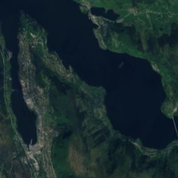
Ulriken13 km NE643 mJuly 15°Ulriken
Stay nearby

Towns close by

Satellite: Sentinel-2 cloudless 2016 by EOX IT Services GmbH · CC BY 4.0 · Contains modified Copernicus Sentinel data 2016

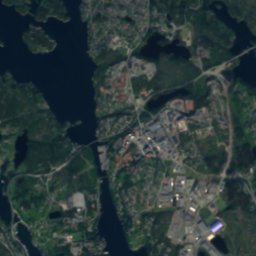
Mathopen

Vestland · 2.0 km E
11°Oct high
20wet days
22score
Mathopen
Alvøen
Photo: Vibekeseldal · CC BY-SA 4.0 · Wikimedia CommonsReport this photo · linked, not stored
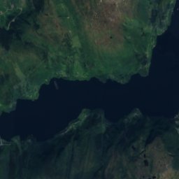
Alvøen

Vestland · 2.6 km N
12°Oct high
20wet days
24score
Alvøen
Flesland
Photo: Reinhardheydt · CC0 · Wikimedia CommonsReport this photo · linked, not stored
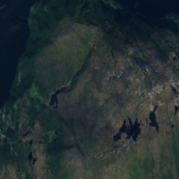
Flesland

Vestland · 4.4 km SE
11°Oct high
20wet days
24score
Flesland
Straume
Photo: Cavernia · CC BY-SA 4.0 · Wikimedia CommonsReport this photo · linked, not stored

Straume

Vestland · 4.5 km NW
11°Oct high
20wet days
24score
Straume
Around here

Mathopen and around

Satellite: Sentinel-2 cloudless 2016 by EOX IT Services GmbH · CC BY 4.0 · Contains modified Copernicus Sentinel data 2016

Mathopen

Vestland · Norway
Jun–Augbest months
18°July high
20 maltitude
Mathopen

Nature

Svartediket
Photo: Aqwis · CC BY-SA 3.0 · Wikimedia CommonsReport this photo · linked, not stored
10 km NE

Svartediket

Lake · 98 m
Svartediket
Lille Lungegårdsvannet
Photo: kallerna · CC BY-SA 4.0 · Wikimedia CommonsReport this photo · linked, not stored
8.9 km NE

Lille Lungegårdsvannet

Lake
Lille Lungegårdsvannet
Satellite: Sentinel-2 cloudless 2016 by EOX IT Services GmbH · CC BY 4.0 · Contains modified Copernicus Sentinel data 2016
3.1 km N

Storavatnet, Loddefjord

Lake · 24 m
Storavatnet, Loddefjord

Mountains

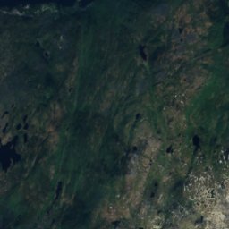
Satellite: Sentinel-2 cloudless 2016 by EOX IT Services GmbH · CC BY 4.0 · Contains modified Copernicus Sentinel data 2016
38 km E

Tveitakvitingen

1,299 m
Tveitakvitingen
Gullfjellet
Photo: Unknown author · CC BY-SA 3.0 · Wikimedia CommonsReport this photo · linked, not stored
22 km E

Gullfjellet

988 m · Scandinavian Mountains
Gullfjellet
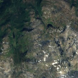
Satellite: Sentinel-2 cloudless 2016 by EOX IT Services GmbH · CC BY 4.0 · Contains modified Copernicus Sentinel data 2016
36 km E

Vardaheia

960 m
Vardaheia

Heritage

Alvøen
Photo: Vibekeseldal · CC BY-SA 4.0 · Wikimedia CommonsReport this photo · linked, not stored
2.4 km NW

Alvøen

cultural heritage preservation in Norway · 2007
Alvøen
Bergen station
Photo: Bahnfrend · CC BY-SA 4.0 · Wikimedia CommonsReport this photo · linked, not stored
9.1 km NE

Bergen station

cultural heritage preservation in Norway · 1913
Bergen station
St John's Church
Photo: W. Bulach · CC BY-SA 4.0 · Wikimedia CommonsReport this photo · linked, not stored
8.4 km NE

St John's Church

cultural heritage preservation in Norway · 1888
St John's Church

Museums

Troldhaugen
Photo: Andreas Sandberg · CC BY-SA 3.0 · Wikimedia CommonsReport this photo · linked, not stored
6.6 km E

Troldhaugen

Music museum
Troldhaugen
University Museum of Bergen
Photo: Diego Delso · CC BY-SA 4.0 · Wikimedia CommonsReport this photo · linked, not stored
8.4 km NE

University Museum of Bergen

University museum · 1825
University Museum of Bergen
Siljustøl
Photo: David40226543 · CC BY-SA 3.0 · Wikimedia CommonsReport this photo · linked, not stored
6.9 km SE

Siljustøl

Music museum
Siljustøl