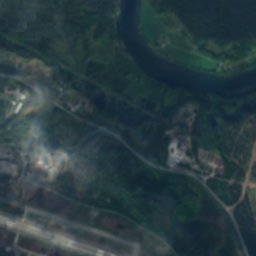
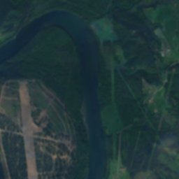
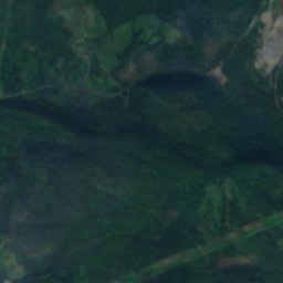
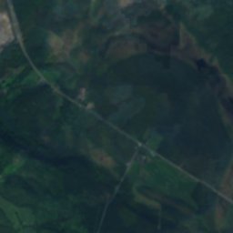
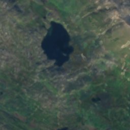
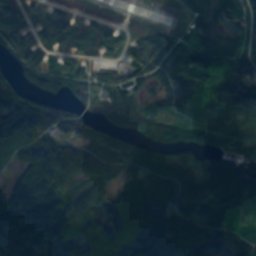
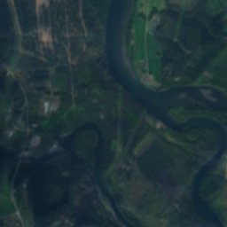
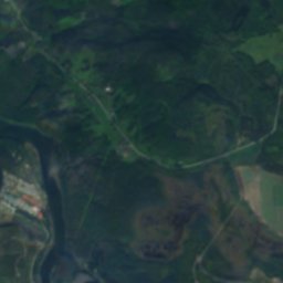
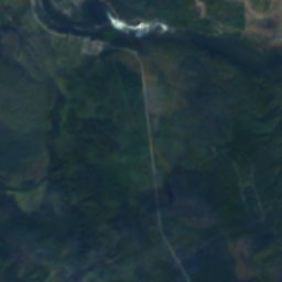
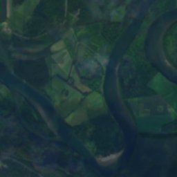
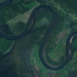
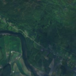
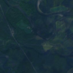
Satellite: Sentinel-2 cloudless 2016 by EOX IT Services GmbH · CC BY 4.0 · Contains modified Copernicus Sentinel data 2016
 Alappen

Photo: Ximonic, Simo Räsänen · CC BY 2.5 · Wikimedia Commons
Blåtinden, MoenReport this photo · linked, not stored
Blåtinden, MoenBlåtinden, MoenReport this photo · linked, not stored
WaterfallHeggelia, Troms
Hellfossen
WaterfallBest Jun–Aug
Elevation–above sea level
Height–of the falls
Nearest townHeggelia12 km
69.01° N, 18.78° EUTC+1 · Central European Standard Time
When to goHeggelia · weather score
Best timeJun–Aug
October: high / low5° / -2°
Waterfall
Hellfossen in brief
Hellfossen is a waterfall in Heggelia, Troms, Norway.
The nearest town is Heggelia, 12 km to the W, where the weather is best in June, July and August.
Weather nearby now
Forecast for Heggelia5°
Cloudy now
Today
28 Oct
8°
3°
2 mm
Thu
29 Oct
7°
3°
1 mm
Fri
30 Oct
8°
3°
1 mm
Sat
31 Oct
8°
3°
4 mm
Sun
1 Nov
8°
4°
Model run 12:00 UTCRefreshed several times a day
When to go
Climate of HeggeliaThe best months around Hellfossen
Month score in Heggelia
Comfort, dry days and sunshine · out of 10013
Jan
15
Feb
17
Mar
18
Apr
18
May
42
Jun
58
Jul
51
Aug
25
Sep
14
Oct
13
Nov
14
Dec
Map
Hellfossen from above
Nature nearbyAll of Norway
Satellite: Sentinel-2 cloudless 2016 by EOX IT Services GmbH · CC BY 4.0 · Contains modified Copernicus Sentinel data 2016
Satellite: Sentinel-2 cloudless 2016 by EOX IT Services GmbH · CC BY 4.0 · Contains modified Copernicus Sentinel data 2016
Satellite: Sentinel-2 cloudless 2016 by EOX IT Services GmbH · CC BY 4.0 · Contains modified Copernicus Sentinel data 2016
Satellite: Sentinel-2 cloudless 2016 by EOX IT Services GmbH · CC BY 4.0 · Contains modified Copernicus Sentinel data 2016
Satellite: Sentinel-2 cloudless 2016 by EOX IT Services GmbH · CC BY 4.0 · Contains modified Copernicus Sentinel data 2016
Satellite: Sentinel-2 cloudless 2016 by EOX IT Services GmbH · CC BY 4.0 · Contains modified Copernicus Sentinel data 2016
Summits nearbyMountains of Norway

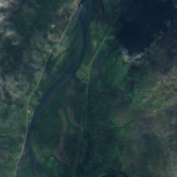
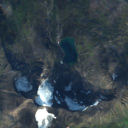
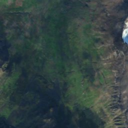
Satellite: Sentinel-2 cloudless 2016 by EOX IT Services GmbH · CC BY 4.0 · Contains modified Copernicus Sentinel data 2016
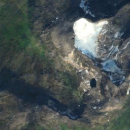
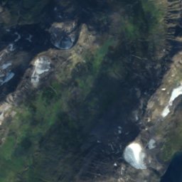
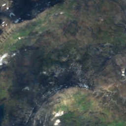
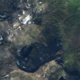
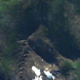
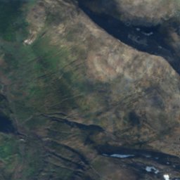
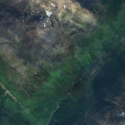
Satellite: Sentinel-2 cloudless 2016 by EOX IT Services GmbH · CC BY 4.0 · Contains modified Copernicus Sentinel data 2016
Satellite: Sentinel-2 cloudless 2016 by EOX IT Services GmbH · CC BY 4.0 · Contains modified Copernicus Sentinel data 2016

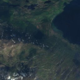
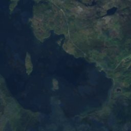
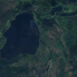
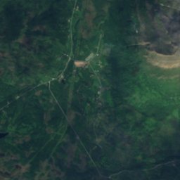
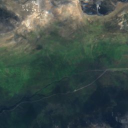
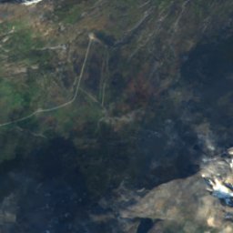
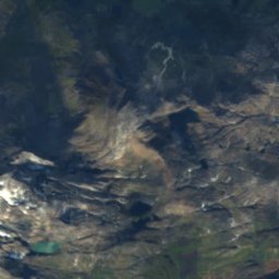
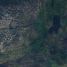
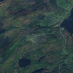
Satellite: Sentinel-2 cloudless 2016 by EOX IT Services GmbH · CC BY 4.0 · Contains modified Copernicus Sentinel data 2016
Stay nearby
Towns close by

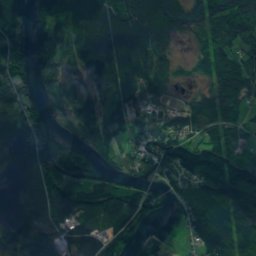
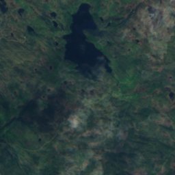
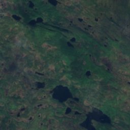
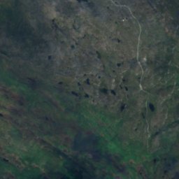
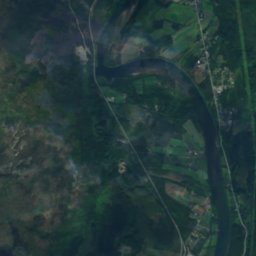
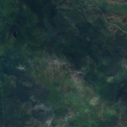
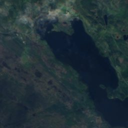
Satellite: Sentinel-2 cloudless 2016 by EOX IT Services GmbH · CC BY 4.0 · Contains modified Copernicus Sentinel data 2016
Andslimoen
Troms · 12 km NW
5°Oct high
20wet days
14score

Around here
Heggelia and around
Nature

Photo: Unknown authorUnknown author · Public domain · Wikimedia CommonsReport this photo · linked, not stored
Andsvatnet
Lake · 158 m

Photo: Bjørn Christian Tørrissen · CC BY-SA 3.0 · Wikimedia CommonsReport this photo · linked, not stored
Målselvfossen
Waterfall
Satellite: Sentinel-2 cloudless 2016 by EOX IT Services GmbH · CC BY 4.0 · Contains modified Copernicus Sentinel data 2016
Vegavatnet
Lake · 324 m
Mountains
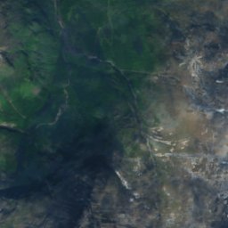
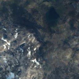
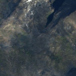
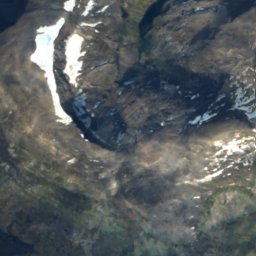
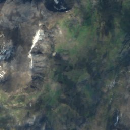
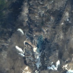
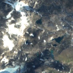
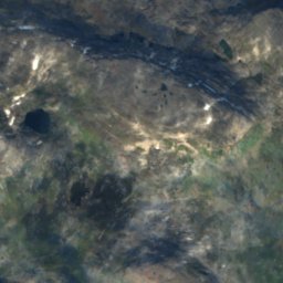
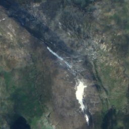
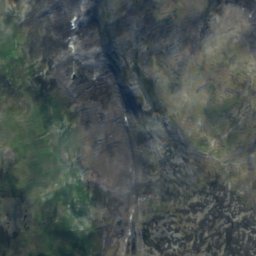
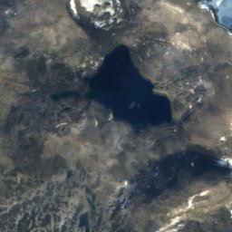
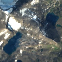
Satellite: Sentinel-2 cloudless 2016 by EOX IT Services GmbH · CC BY 4.0 · Contains modified Copernicus Sentinel data 2016
Gæđgesčåkka
1,678 m
Satellite: Sentinel-2 cloudless 2016 by EOX IT Services GmbH · CC BY 4.0 · Contains modified Copernicus Sentinel data 2016
Vestre Istinden
1,489 m
Heritage

Museums















Satellite: Sentinel-2 cloudless 2016 by EOX IT Services GmbH · CC BY 4.0 · Contains modified Copernicus Sentinel data 2016