











Skip to content
Destinations
Weather & climate
Nature
Outdoors
Culture
Events
Sky & live
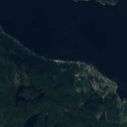
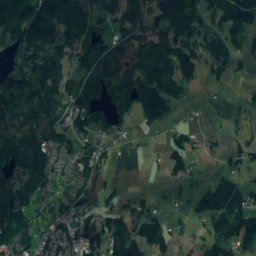
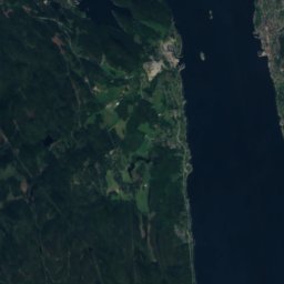
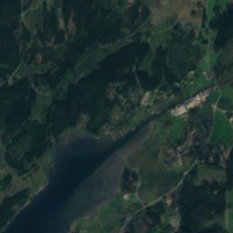
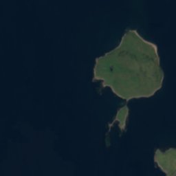
Satellite: Sentinel-2 cloudless 2016 by EOX IT Services GmbH · CC BY 4.0 · Contains modified Copernicus Sentinel data 2016
IslandLarkollen, Østfold

Hellene

IslandBest Jun–Aug
Elevation–above sea level
Area–surface
Nearest townLarkollen2.6 km
59.31° N, 10.64° EUTC+2 · Central European Summer Time
When to goLarkollen · weather score
JanFebMarAprMayJunJulAugSepOctNovDec21October
Best timeJun–Aug
October: high / low11° / 5°
Island

Hellene in brief

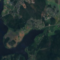
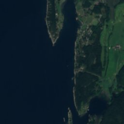
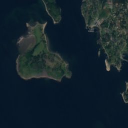
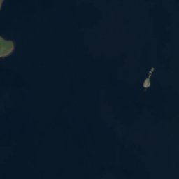
Hellene is an island in Larkollen, Østfold, Norway.

The nearest town is Larkollen, 2.6 km to the NE, where the weather is best in June, July and August.

Larkollen: weather and travel guide

Weather nearby now

Forecast for Larkollen
9°
Partly cloudy now
Wind12 km/h
Humidity85%
Cloud cover44%
Today
23 Oct
12°
6°
4 mm
Sat
24 Oct
11°
7°
5 mm
Sun
25 Oct
11°
6°
44 mm
Mon
26 Oct
13°
8°
3 mm
Tue
27 Oct
14°
8°
6 mm

Model run 12:00 UTCRefreshed several times a day

When to go

The best months around Hellene

Climate of Larkollen

Month score in Larkollen

Comfort, dry days and sunshine · out of 100
17
Jan
22
Feb
27
Mar
32
Apr
56
May
65
Jun
66
Jul
65
Aug
58
Sep
21
Oct
16
Nov
16
Dec
Map

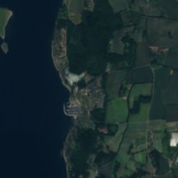
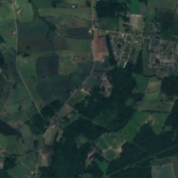
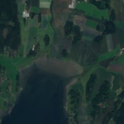
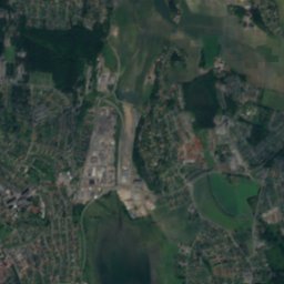
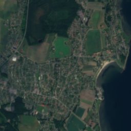
Hellene from above

Nature nearbyAll of Norway
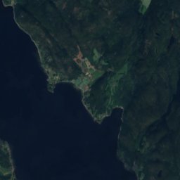
Satellite: Sentinel-2 cloudless 2016 by EOX IT Services GmbH · CC BY 4.0 · Contains modified Copernicus Sentinel data 2016
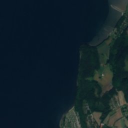
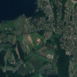
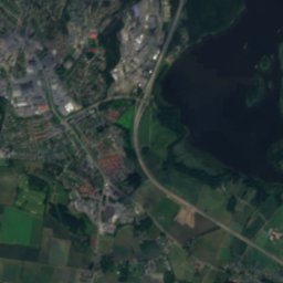
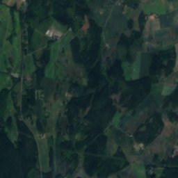
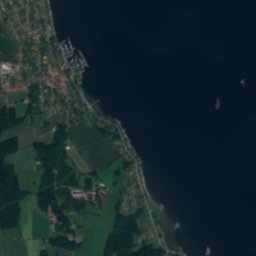
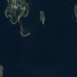
EldøyaIsland1.2 kmNEEldøya
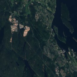
Satellite: Sentinel-2 cloudless 2016 by EOX IT Services GmbH · CC BY 4.0 · Contains modified Copernicus Sentinel data 2016
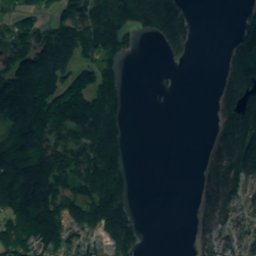
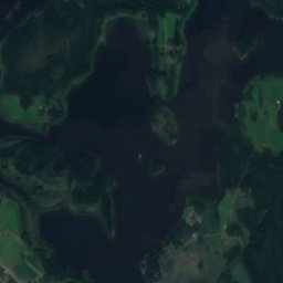
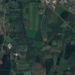
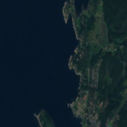
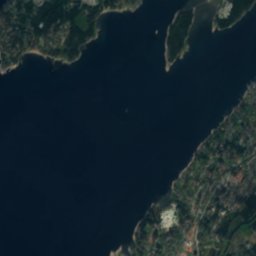
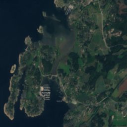
EløyrabbenIsland1.5 kmNEløyrabben
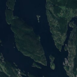
Satellite: Sentinel-2 cloudless 2016 by EOX IT Services GmbH · CC BY 4.0 · Contains modified Copernicus Sentinel data 2016
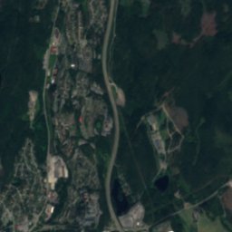
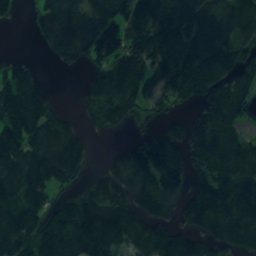
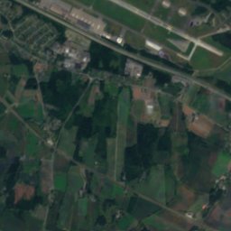
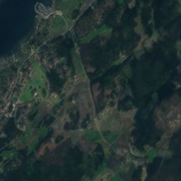
Store SletterIsland2.1 kmSEStore Sletter
Satellite: Sentinel-2 cloudless 2016 by EOX IT Services GmbH · CC BY 4.0 · Contains modified Copernicus Sentinel data 2016
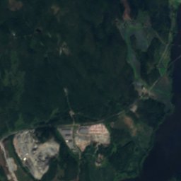
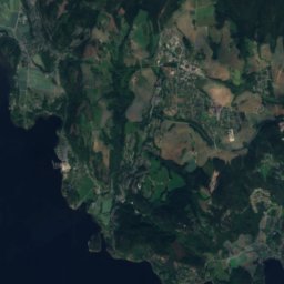
AndrénskjæretIsland2.1 kmNEAndrénskjæret
Satellite: Sentinel-2 cloudless 2016 by EOX IT Services GmbH · CC BY 4.0 · Contains modified Copernicus Sentinel data 2016
Kollen, LarkollenIsland2.3 kmNKollen, Larkollen
Satellite: Sentinel-2 cloudless 2016 by EOX IT Services GmbH · CC BY 4.0 · Contains modified Copernicus Sentinel data 2016
BrottaIsland2.5 kmSEBrotta
Stay nearby

Towns close by

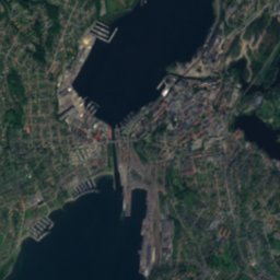
Larkollen
Photo: 1560Pal · CC BY-SA 4.0 · Wikimedia CommonsReport this photo · linked, not stored

Larkollen

Østfold · 2.6 km NE
11°Oct high
15wet days
21score
Larkollen
Spetalen
Photo: Hans A. Rosbach · CC BY-SA 3.0 · Wikimedia CommonsReport this photo · linked, not stored

Spetalen

Østfold · 7.5 km E
11°Oct high
15wet days
21score
Spetalen
Lervik
Photo: Jan-Tore Egge · CC BY-SA 4.0 · Wikimedia CommonsReport this photo · linked, not stored

Lervik

Østfold · 7.7 km SE
11°Oct high
15wet days
22score
Lervik
Fuglevik
Photo: JohnM · Public domain · Wikimedia CommonsReport this photo · linked, not stored

Fuglevik

Østfold · 7.8 km N
11°Oct high
15wet days
21score
Fuglevik
Around here

Larkollen and around

Larkollen
Photo: 1560Pal · CC BY-SA 4.0 · Wikimedia CommonsReport this photo · linked, not stored

Larkollen

Østfold · Norway
Jun–Augbest months
22°July high
16 maltitude
Larkollen

Nature

Satellite: Sentinel-2 cloudless 2016 by EOX IT Services GmbH · CC BY 4.0 · Contains modified Copernicus Sentinel data 2016
9.4 km N

Vansjø

Lake · 26 m
Vansjø
Færder National Park
Photo: Opphopp! · CC BY-SA 3.0 · Wikimedia CommonsReport this photo · linked, not stored
22 km SW

Færder National Park

National park
Færder National Park
Glomma
Photo: Jarle Kvam · CC BY-SA 4.0 · Wikimedia CommonsReport this photo · linked, not stored
22 km SE

Glomma

River
Glomma

Mountains

Stikkvannskollen
Photo: EspenFjeldstad · CC BY-SA 4.0 · Wikimedia CommonsReport this photo · linked, not stored
34 km N

Stikkvannskollen

361 m
Stikkvannskollen
Satellite: Sentinel-2 cloudless 2016 by EOX IT Services GmbH · CC BY 4.0 · Contains modified Copernicus Sentinel data 2016
40 km N

Varden, Akershus

231 m
Varden, Akershus
Satellite: Sentinel-2 cloudless 2016 by EOX IT Services GmbH · CC BY 4.0 · Contains modified Copernicus Sentinel data 2016
38 km N

Verpenåsen

54 m
Verpenåsen

Heritage

Satellite: Sentinel-2 cloudless 2016 by EOX IT Services GmbH · CC BY 4.0 · Contains modified Copernicus Sentinel data 2016
under 100 m N

Larkollen Church

cultural heritage preservation in Norway
Larkollen Church
Dilling station
Photo: JohnM · Public domain · Wikimedia CommonsReport this photo · linked, not stored
7.5 km N

Dilling station

cultural heritage preservation in Norway · 1879
Dilling station
Slagen Church
Photo: Hans A. Rosbach · CC BY-SA 3.0 · Wikimedia CommonsReport this photo · linked, not stored
13 km W

Slagen Church

cultural heritage preservation in Norway · 1901
Slagen Church

Museums

Royal Norwegian Navy Museum
Photo: Ulflarsen · CC BY-SA 3.0 · Wikimedia CommonsReport this photo · linked, not stored
15 km NW

Royal Norwegian Navy Museum

Maritime museum · 1853
Royal Norwegian Navy Museum
Edvard Munchs house
Photo: Dagny · Public domain · Wikimedia CommonsReport this photo · linked, not stored
12 km W

Edvard Munchs house

Edvard Munchs house
Midgard Viking Centre
Photo: Wolfmann · CC BY-SA 4.0 · Wikimedia CommonsReport this photo · linked, not stored
13 km NW

Midgard Viking Centre

Midgard Viking Centre