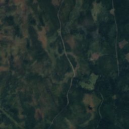
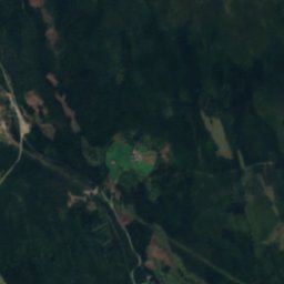
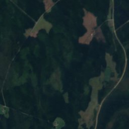
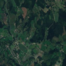
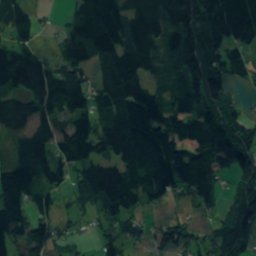
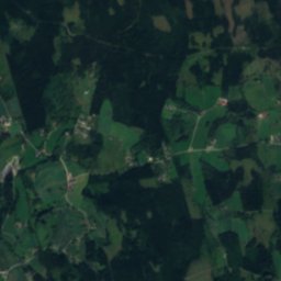
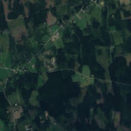
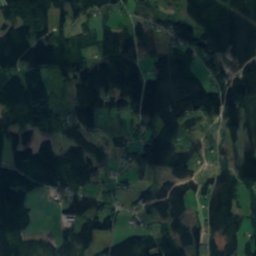
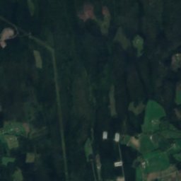
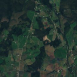
Satellite: Sentinel-2 cloudless 2016 by EOX IT Services GmbH · CC BY 4.0 · Contains modified Copernicus Sentinel data 2016

Photo: Jan-Tore Egge · CC BY-SA 4.0 · Wikimedia Commons
FlagstadelvaReport this photo · linked, not stored
FlagstadelvaFlagstadelvaReport this photo · linked, not stored

Photo: Aleksander Røberg-Larsen · CC0 · Wikimedia Commons
ØksnafalleneReport this photo · linked, not stored
ØksnafalleneØksnafalleneReport this photo · linked, not stored

Photo: Aleksander Røberg-Larsen · CC0 · Wikimedia Commons
NordhueReport this photo · linked, not stored
NordhueNordhueReport this photo · linked, not stored
WaterfallSlemsrud, Innlandet
Falla
WaterfallBest Jun–Aug
Elevation–above sea level
Height–of the falls
Nearest townSlemsrud8.1 km
60.91° N, 11.26° EUTC+1 · Central European Standard Time
When to goSlemsrud · weather score
Best timeJun–Aug
October: high / low8° / 2°
Waterfall
Falla in brief
Falla is a waterfall in Slemsrud, Innlandet, Norway.
The nearest town is Slemsrud, 8.1 km to the S, where the weather is best in June, July and August.
Weather nearby now
Forecast for Slemsrud9°
Partly cloudy now
Today
30 Oct
10°
3°
Sat
31 Oct
6°
1°
Sun
1 Nov
9°
3°
Mon
2 Nov
7°
0°
Tue
3 Nov
9°
3°
Model run 12:00 UTCRefreshed several times a day
When to go
Climate of SlemsrudThe best months around Falla
Month score in Slemsrud
Comfort, dry days and sunshine · out of 10016
Jan
22
Feb
24
Mar
26
Apr
46
May
64
Jun
64
Jul
63
Aug
43
Sep
15
Oct
13
Nov
15
Dec
Map
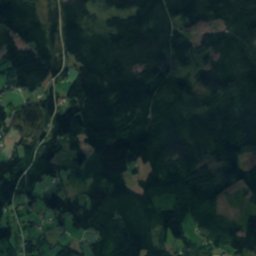
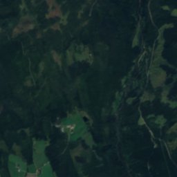
Falla from above
Nature nearbyAll of Norway
Satellite: Sentinel-2 cloudless 2016 by EOX IT Services GmbH · CC BY 4.0 · Contains modified Copernicus Sentinel data 2016
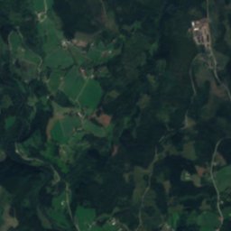
Satellite: Sentinel-2 cloudless 2016 by EOX IT Services GmbH · CC BY 4.0 · Contains modified Copernicus Sentinel data 2016
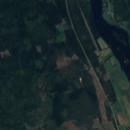
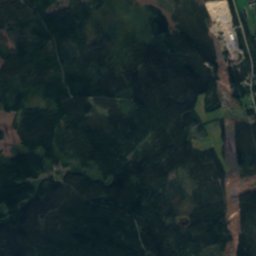
Satellite: Sentinel-2 cloudless 2016 by EOX IT Services GmbH · CC BY 4.0 · Contains modified Copernicus Sentinel data 2016

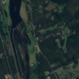
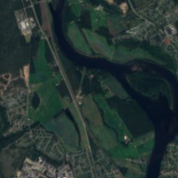
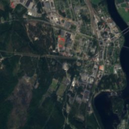
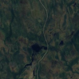
Satellite: Sentinel-2 cloudless 2016 by EOX IT Services GmbH · CC BY 4.0 · Contains modified Copernicus Sentinel data 2016
Summits nearbyMountains of Norway
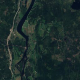
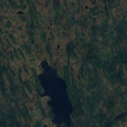
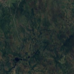
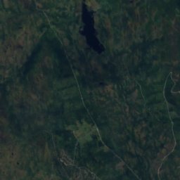
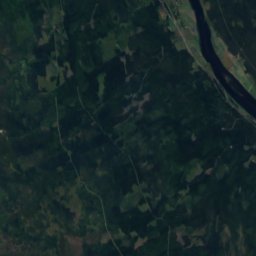
Satellite: Sentinel-2 cloudless 2016 by EOX IT Services GmbH · CC BY 4.0 · Contains modified Copernicus Sentinel data 2016

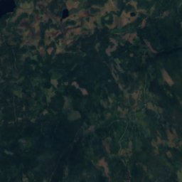
Satellite: Sentinel-2 cloudless 2016 by EOX IT Services GmbH · CC BY 4.0 · Contains modified Copernicus Sentinel data 2016
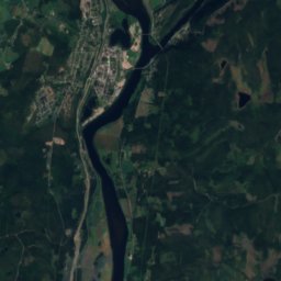
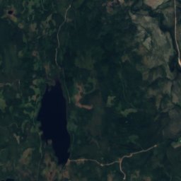
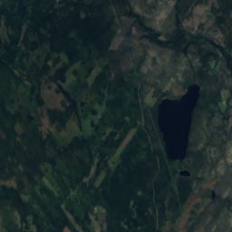
Satellite: Sentinel-2 cloudless 2016 by EOX IT Services GmbH · CC BY 4.0 · Contains modified Copernicus Sentinel data 2016
Satellite: Sentinel-2 cloudless 2016 by EOX IT Services GmbH · CC BY 4.0 · Contains modified Copernicus Sentinel data 2016
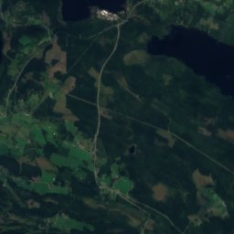
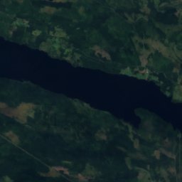
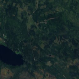
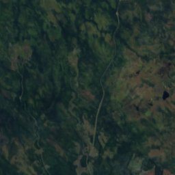
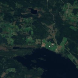
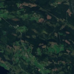
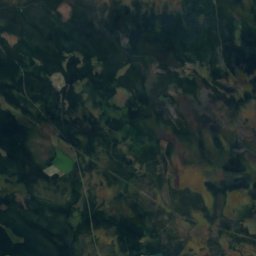
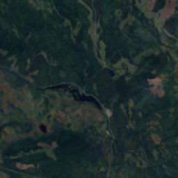
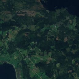
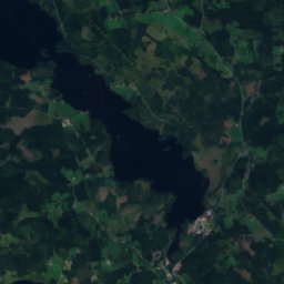
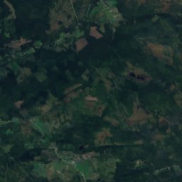
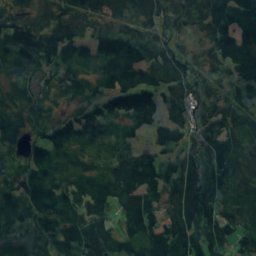
Satellite: Sentinel-2 cloudless 2016 by EOX IT Services GmbH · CC BY 4.0 · Contains modified Copernicus Sentinel data 2016
Stay nearby
Towns close by


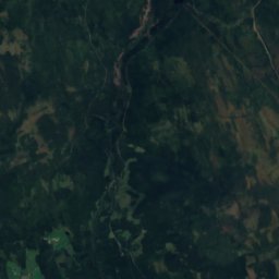
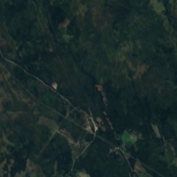
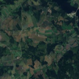
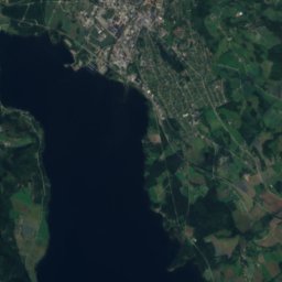
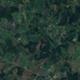
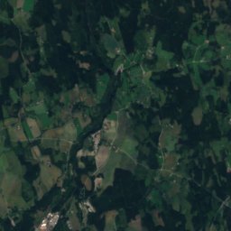
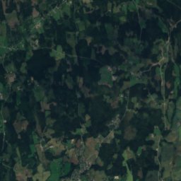
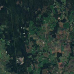
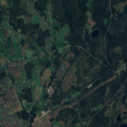
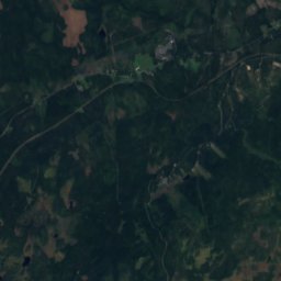
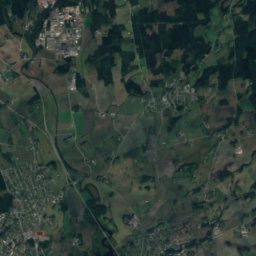
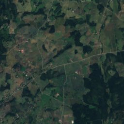
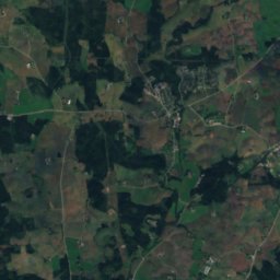
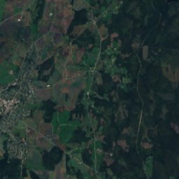
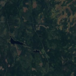
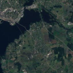
Around here
Slemsrud and around
Nature


Mountains
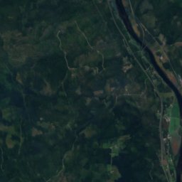
Satellite: Sentinel-2 cloudless 2016 by EOX IT Services GmbH · CC BY 4.0 · Contains modified Copernicus Sentinel data 2016
Hemmelfjellet
885 m
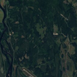
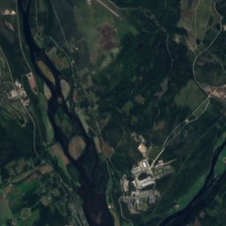
Satellite: Sentinel-2 cloudless 2016 by EOX IT Services GmbH · CC BY 4.0 · Contains modified Copernicus Sentinel data 2016
Engulvsfjellet
857 m
Heritage


Vang Church, Bekkelaget
cultural heritage preservation in Norway · 1200
Museums







Satellite: Sentinel-2 cloudless 2016 by EOX IT Services GmbH · CC BY 4.0 · Contains modified Copernicus Sentinel data 2016
Norwegian Railway Museum
Railway museum · 1896





Satellite: Sentinel-2 cloudless 2016 by EOX IT Services GmbH · CC BY 4.0 · Contains modified Copernicus Sentinel data 2016


