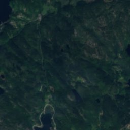
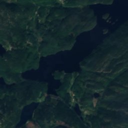
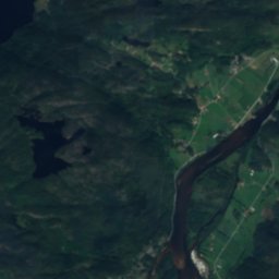
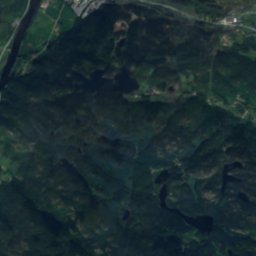
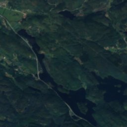
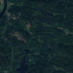
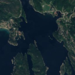
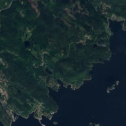
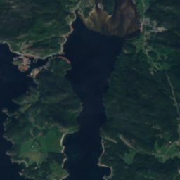
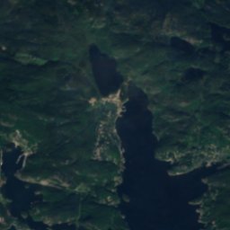
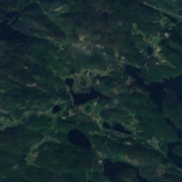
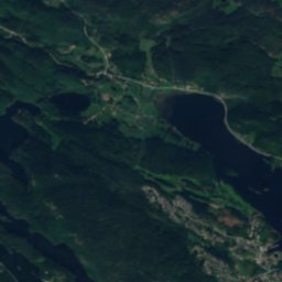
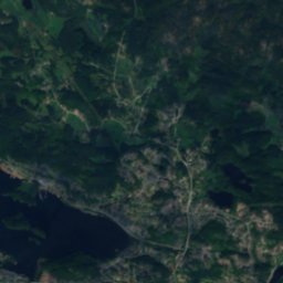
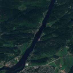
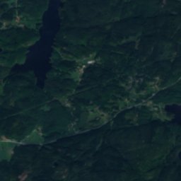
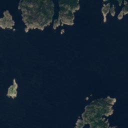
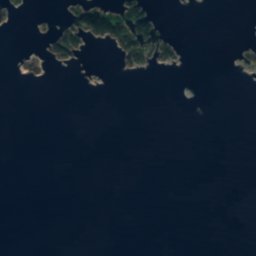
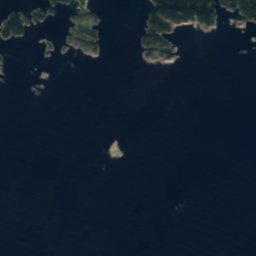
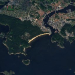
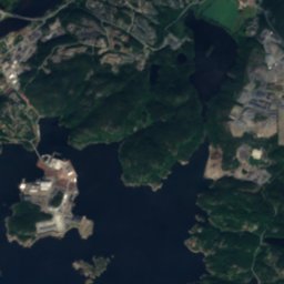
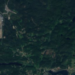
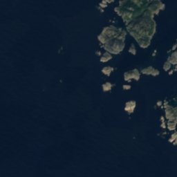
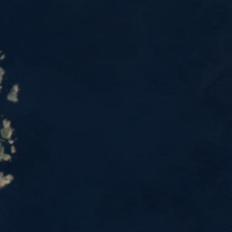

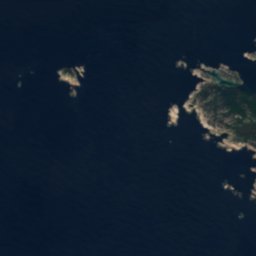
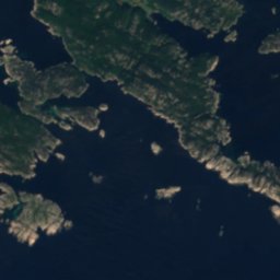
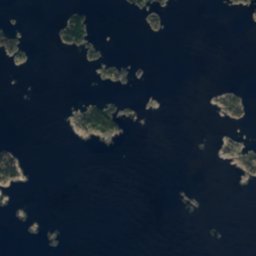
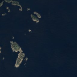
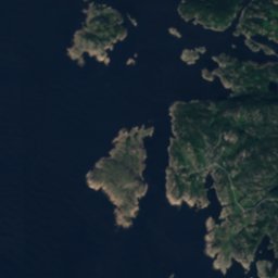
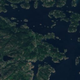

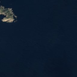










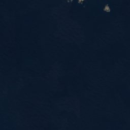

Satellite: Sentinel-2 cloudless 2016 by EOX IT Services GmbH · CC BY 4.0 · Contains modified Copernicus Sentinel data 2016
IslandMandal, Agder
Disken
IslandBest Jun–Aug
Elevation–above sea level
Area–surface
Nearest townMandal4.7 km
57.99° N, 7.40° EUTC+1 · Central European Standard Time
When to goMandal · weather score
Best timeJun–Aug
October: high / low11° / 6°
Island
Disken in brief
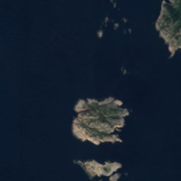
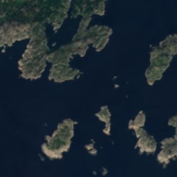
Disken is an island in Mandal, Agder, Norway.
The nearest town is Mandal, 4.7 km to the NE, where the weather is best in June, July and August.
Weather nearby now
Forecast for Mandal9°
Clear now
Today
30 Oct
14°
7°
Sat
31 Oct
12°
6°
Sun
1 Nov
14°
8°
Mon
2 Nov
12°
6°
Tue
3 Nov
13°
5°
Model run 12:00 UTCRefreshed several times a day
Map
Disken from above
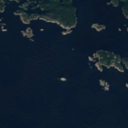
Nature nearbyAll of Norway
Satellite: Sentinel-2 cloudless 2016 by EOX IT Services GmbH · CC BY 4.0 · Contains modified Copernicus Sentinel data 2016
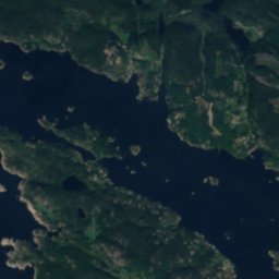
Satellite: Sentinel-2 cloudless 2016 by EOX IT Services GmbH · CC BY 4.0 · Contains modified Copernicus Sentinel data 2016
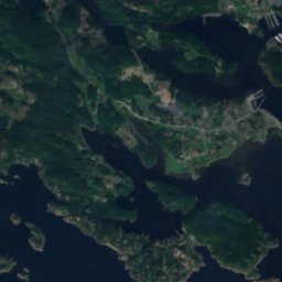
Satellite: Sentinel-2 cloudless 2016 by EOX IT Services GmbH · CC BY 4.0 · Contains modified Copernicus Sentinel data 2016
Satellite: Sentinel-2 cloudless 2016 by EOX IT Services GmbH · CC BY 4.0 · Contains modified Copernicus Sentinel data 2016
Satellite: Sentinel-2 cloudless 2016 by EOX IT Services GmbH · CC BY 4.0 · Contains modified Copernicus Sentinel data 2016
Summits nearbyMountains of Norway
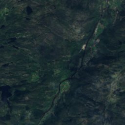
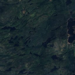
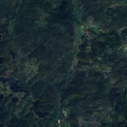
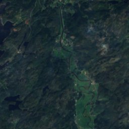
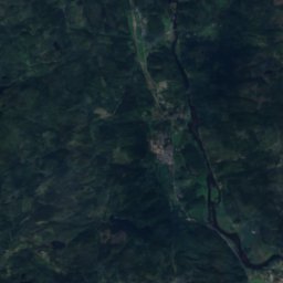
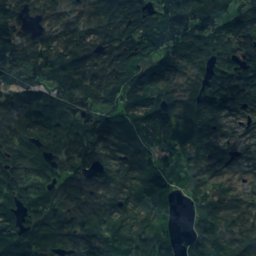
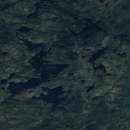
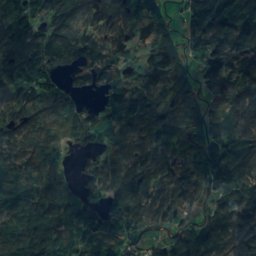
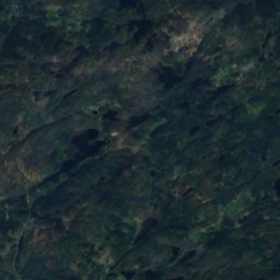
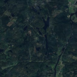
Satellite: Sentinel-2 cloudless 2016 by EOX IT Services GmbH · CC BY 4.0 · Contains modified Copernicus Sentinel data 2016
Stay nearby
Towns close by


Photo: Unknown authorUnknown author · Public domain · Wikimedia CommonsReport this photo · linked, not stored
Valle
Agder · 11 km NW
10°Oct high
21wet days
19score


Around here
Mandal and around
Nature

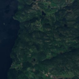
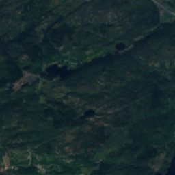
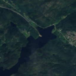
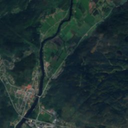
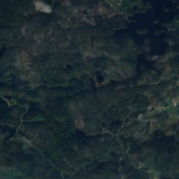
Satellite: Sentinel-2 cloudless 2016 by EOX IT Services GmbH · CC BY 4.0 · Contains modified Copernicus Sentinel data 2016
Audna
River

Mountains
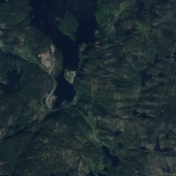
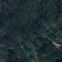
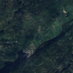
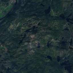
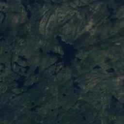
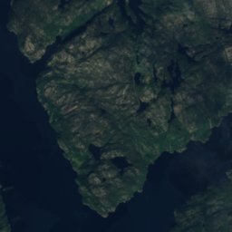
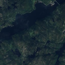
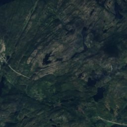
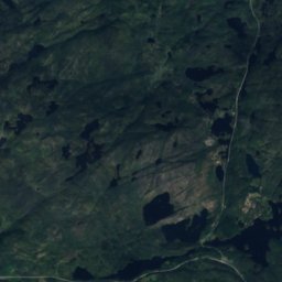
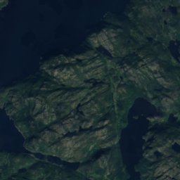
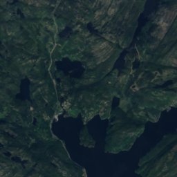
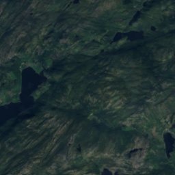
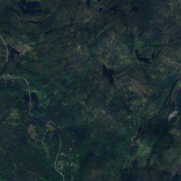
Satellite: Sentinel-2 cloudless 2016 by EOX IT Services GmbH · CC BY 4.0 · Contains modified Copernicus Sentinel data 2016
Kaldåsknipa
504 m
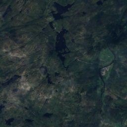
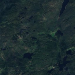
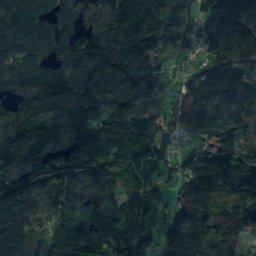
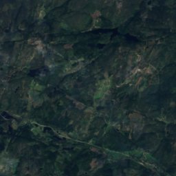
Satellite: Sentinel-2 cloudless 2016 by EOX IT Services GmbH · CC BY 4.0 · Contains modified Copernicus Sentinel data 2016
Heigeita
297 m
Satellite: Sentinel-2 cloudless 2016 by EOX IT Services GmbH · CC BY 4.0 · Contains modified Copernicus Sentinel data 2016
I enden av heia
281 m
Heritage

Photo: Photo: Philip Gabrielsen · CC BY-SA 4.0 · Wikimedia CommonsReport this photo · linked, not stored
Mandal Church
cultural heritage preservation in Norway · 1821

Photo: Unknown authorUnknown author · Public domain · Wikimedia CommonsReport this photo · linked, not stored
Hatholmen Lighthouse
cultural heritage preservation in Norway · 1867


