





























Skip to content
Destinations
Weather & climate
Nature
Outdoors
Culture
Events
Sky & live
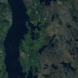
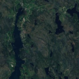
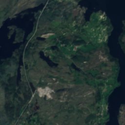
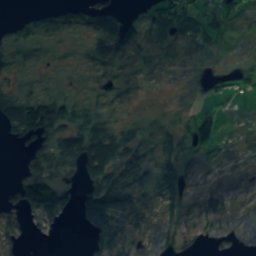
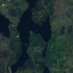
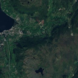
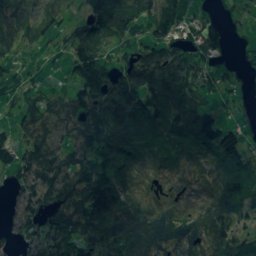
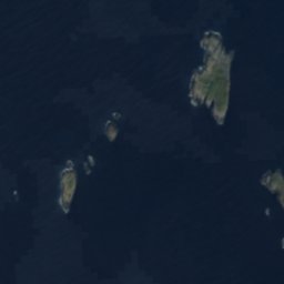
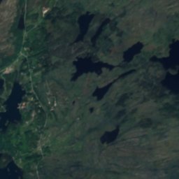
Satellite: Sentinel-2 cloudless 2016 by EOX IT Services GmbH · CC BY 4.0 · Contains modified Copernicus Sentinel data 2016
IslandHaugesund, Rogaland

Bramsflua

IslandBest Jun–Aug
Elevation–above sea level
Area–surface
Nearest townHaugesund9.7 km
59.47° N, 5.14° EUTC+1 · Central European Standard Time
When to goHaugesund · weather score
JanFebMarAprMayJunJulAugSepOctNovDec23October
Best timeJun–Aug
October: high / low11° / 6°
Island

Bramsflua in brief

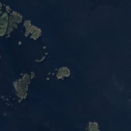
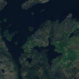
Bramsflua is an island in Haugesund, Rogaland, Norway.

The nearest town is Haugesund, 9.7 km to the SE, where the weather is best in June, July and August.

Haugesund: weather and travel guide

Weather nearby now

Forecast for Haugesund
10°
Cloudy now
Wind18 km/h
Humidity90%
Cloud cover100%
Today
31 Oct
12°
9°
Sun
1 Nov
12°
9°
4 mm
Mon
2 Nov
10°
6°
Tue
3 Nov
9°
4°
Wed
4 Nov
10°
3°

Model run 12:00 UTCRefreshed several times a day

When to go

The best months around Bramsflua

Climate of Haugesund

Month score in Haugesund

Comfort, dry days and sunshine · out of 100
Map

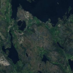
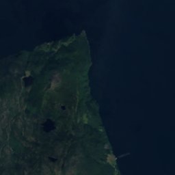
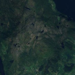
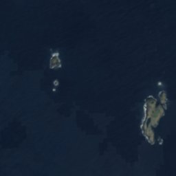
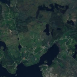
Bramsflua from above

Nature nearbyAll of Norway
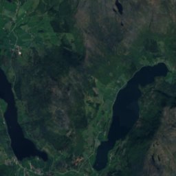
Satellite: Sentinel-2 cloudless 2016 by EOX IT Services GmbH · CC BY 4.0 · Contains modified Copernicus Sentinel data 2016
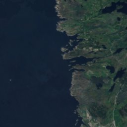
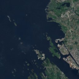
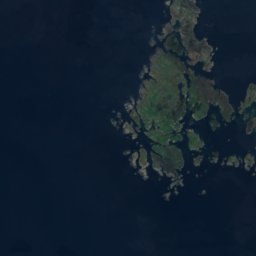
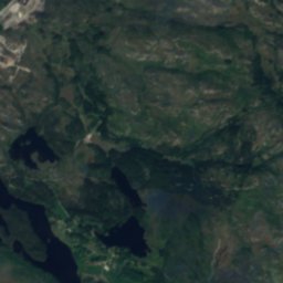
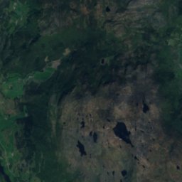
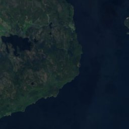
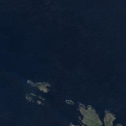
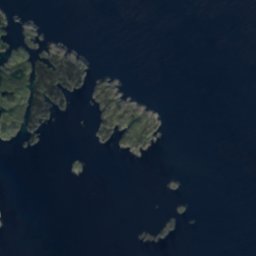
DettingenIsland3.0 kmSEDettingen
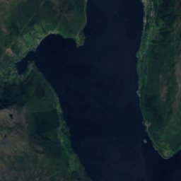
Satellite: Sentinel-2 cloudless 2016 by EOX IT Services GmbH · CC BY 4.0 · Contains modified Copernicus Sentinel data 2016
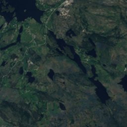
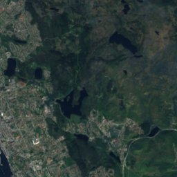
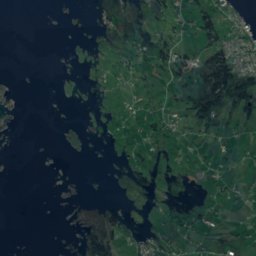
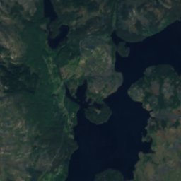
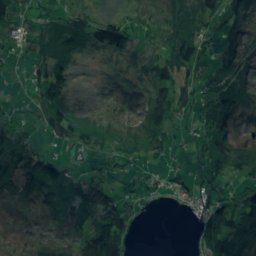
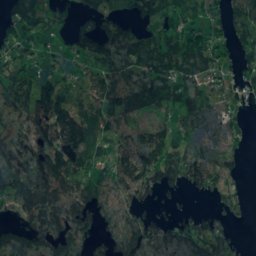
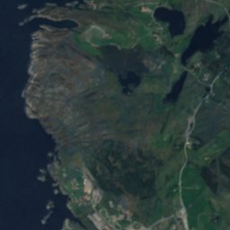
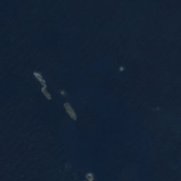
Litle TednholmenIsland4.0 kmSWLitle Tednholmen
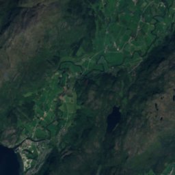
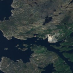
Satellite: Sentinel-2 cloudless 2016 by EOX IT Services GmbH · CC BY 4.0 · Contains modified Copernicus Sentinel data 2016
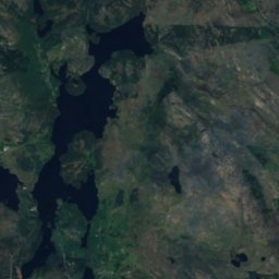
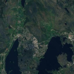
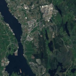
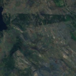
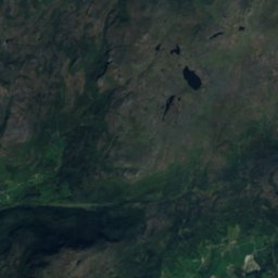
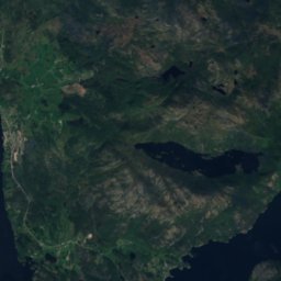
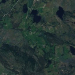
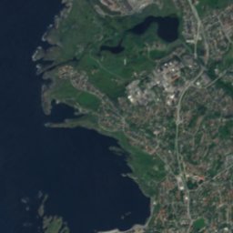
Terneholmen, RogalandIsland4.0 kmSWTerneholmen, Rogaland
Satellite: Sentinel-2 cloudless 2016 by EOX IT Services GmbH · CC BY 4.0 · Contains modified Copernicus Sentinel data 2016
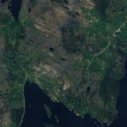
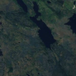
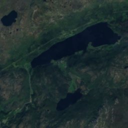
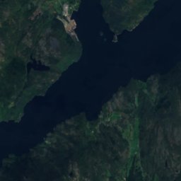
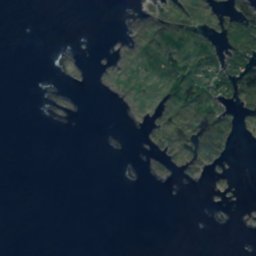
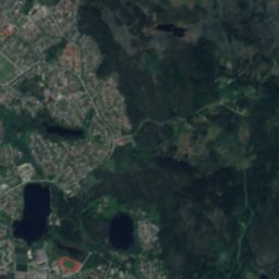
NipsholmenIsland4.1 kmSWNipsholmen
Satellite: Sentinel-2 cloudless 2016 by EOX IT Services GmbH · CC BY 4.0 · Contains modified Copernicus Sentinel data 2016
UrdIsland4.3 kmSWUrd
Satellite: Sentinel-2 cloudless 2016 by EOX IT Services GmbH · CC BY 4.0 · Contains modified Copernicus Sentinel data 2016
HidlersøyIsland4.6 kmSWHidlersøy
Stay nearby

Towns close by

Haugesund
Photo: Efarestv · CC BY-SA 3.0 · Wikimedia CommonsReport this photo · linked, not stored

Haugesund

Rogaland · 9.7 km SE
11°Oct high
19wet days
23score
Haugesund
Visnes
Photo: Jules Verne Times Two · CC BY-SA 4.0 · Wikimedia CommonsReport this photo · linked, not stored

Visnes

Rogaland · 14 km SE
11°Oct high
19wet days
23score
Visnes
Sveio
Photo: Daniel DeNiazi · CC BY-SA 2.0 · Wikimedia CommonsReport this photo · linked, not stored

Sveio

Vestland · 14 km NE
11°Oct high
20wet days
23score
Sveio
Satellite: Sentinel-2 cloudless 2016 by EOX IT Services GmbH · CC BY 4.0 · Contains modified Copernicus Sentinel data 2016

Eike

Rogaland · 15 km SE
11°Oct high
19wet days
21score
Eike
Around here

Haugesund and around

Haugesund
Photo: Efarestv · CC BY-SA 3.0 · Wikimedia CommonsReport this photo · linked, not stored

Haugesund

Rogaland · Norway
Jun–Augbest months
19°July high
17 maltitude
Haugesund

Nature

Aksdalsvatnet
Photo: Jarvin · CC BY 3.0 · Wikimedia CommonsReport this photo · linked, not stored
8.7 km E

Aksdalsvatnet

Lake · 18 m
Aksdalsvatnet
Satellite: Sentinel-2 cloudless 2016 by EOX IT Services GmbH · CC BY 4.0 · Contains modified Copernicus Sentinel data 2016
11 km NE

Vigdarvatnet

Lake · 8 m
Vigdarvatnet
Satellite: Sentinel-2 cloudless 2016 by EOX IT Services GmbH · CC BY 4.0 · Contains modified Copernicus Sentinel data 2016
8.3 km NE

Stakkastadvatnet

Lake · 13 m
Stakkastadvatnet

Mountains

Satellite: Sentinel-2 cloudless 2016 by EOX IT Services GmbH · CC BY 4.0 · Contains modified Copernicus Sentinel data 2016
38 km E

Lysenuten

793 m
Lysenuten
Satellite: Sentinel-2 cloudless 2016 by EOX IT Services GmbH · CC BY 4.0 · Contains modified Copernicus Sentinel data 2016
26 km E

Lammanuten

631 m
Lammanuten
Siggjo
Photo: J. Ådnanes · CC BY-SA 2.5 · Wikimedia CommonsReport this photo · linked, not stored
37 km N

Siggjo

474 m
Siggjo

Heritage

Skåre Church
Photo: Wolfmann · CC BY-SA 4.0 · Wikimedia CommonsReport this photo · linked, not stored
0.7 km N

Skåre Church

cultural heritage preservation in Norway · 1858
Skåre Church
Rossabø Church
Photo: Morten Stige/Riksantikvaren · CC BY 4.0 · Wikimedia CommonsReport this photo · linked, not stored
2.0 km SE

Rossabø Church

cultural heritage preservation in Norway · 1972
Rossabø Church
Sørhaugøy fyr
Photo: Sergey Ashmarin · CC BY-SA 3.0 · Wikimedia CommonsReport this photo · linked, not stored
1.9 km NW

Sørhaugøy fyr

cultural property · 1846
Sørhaugøy fyr

Museums

Haugesund Art Gallery
Photo: David40226543 · Public domain · Wikimedia CommonsReport this photo · linked, not stored
0.6 km NW

Haugesund Art Gallery

Art museum · 1973
Haugesund Art Gallery
Karmsund Folkemuseum
Photo: Wolfmann · CC BY-SA 4.0 · Wikimedia CommonsReport this photo · linked, not stored
0.1 km E

Karmsund Folkemuseum

1925
Karmsund Folkemuseum
Arquebus krigshistorisk museum
Photo: Wolfmann · CC BY-SA 4.0 · Wikimedia CommonsReport this photo · linked, not stored
6.6 km E

Arquebus krigshistorisk museum

Arquebus krigshistorisk museum