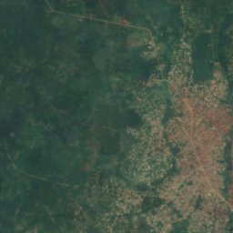
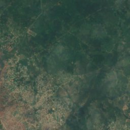
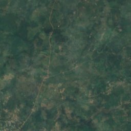
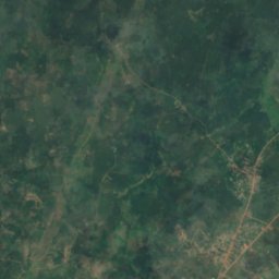
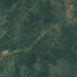
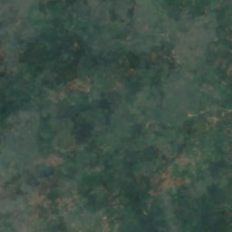
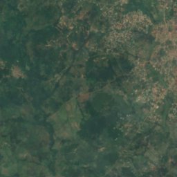
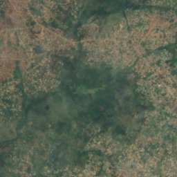
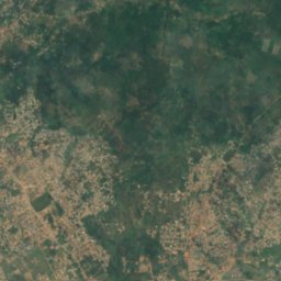
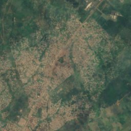
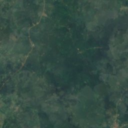
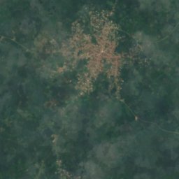
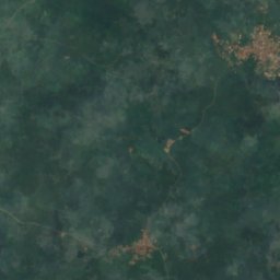
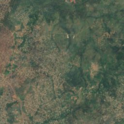
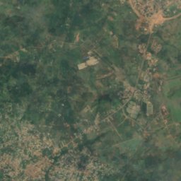
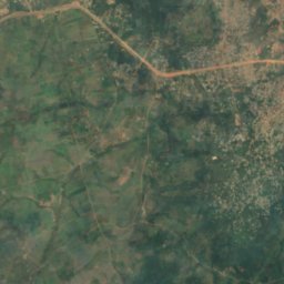
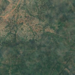
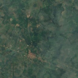
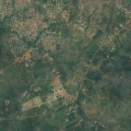
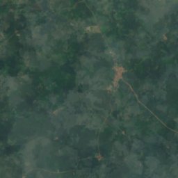
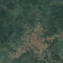
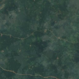
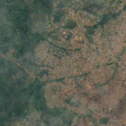
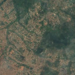
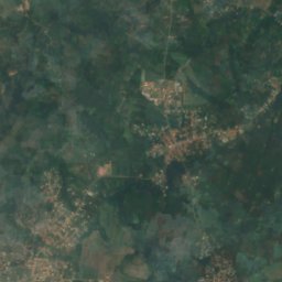
Satellite: Sentinel-2 cloudless 2016 by EOX IT Services GmbH · CC BY 4.0 · Contains modified Copernicus Sentinel data 2016

Photo: Okeile · CC BY-SA 4.0 · Wikimedia Commons
Ede-Erinle ReservoirReport this photo · linked, not stored
Ede-Erinle ReservoirEde-Erinle ReservoirReport this photo · linked, not stored
RiverOsogbo, Osun State
Owala
RiverBest Jan · Nov–Dec
Elevation–above sea level
Area–surface
Nearest townOsogbo14 km
7.74° N, 4.68° EUTC+1 · West Africa Time
When to goOsogbo · weather score
Best timeJan · Nov–Dec
October: high / low29° / 22°
River
Owala in brief
Owala is a river in Osogbo, Osun State, Nigeria.
The nearest town in the atlas is Osogbo, 14 km to the W, where the weather is best in January, November and December.
Weather nearby now
Forecast for Osogbo31°
Partly cloudy now
Today
22 Oct
31°
24°
1 mm
Fri
23 Oct
31°
24°
Sat
24 Oct
32°
24°
1 mm
Sun
25 Oct
31°
24°
Mon
26 Oct
31°
24°
3 mm
Model run 00:00 UTCRefreshed several times a day
Map
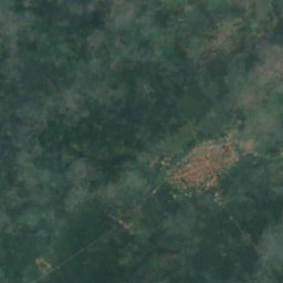
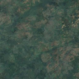
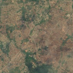
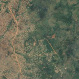
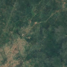
Owala from above
Nature nearbyAll of Nigeria
Satellite: Sentinel-2 cloudless 2016 by EOX IT Services GmbH · CC BY 4.0 · Contains modified Copernicus Sentinel data 2016
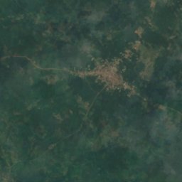
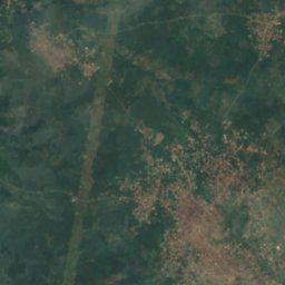
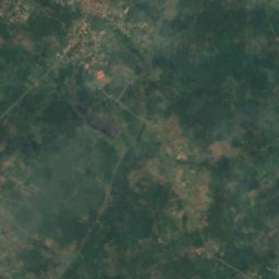
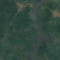
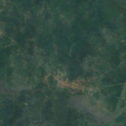
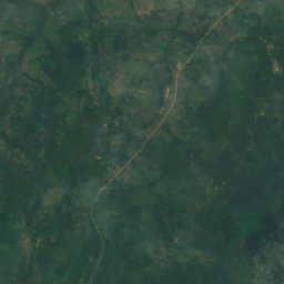
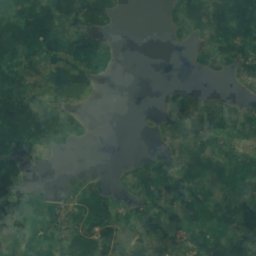
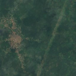
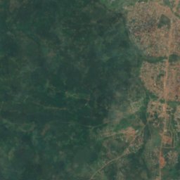
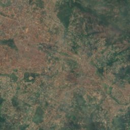
Satellite: Sentinel-2 cloudless 2016 by EOX IT Services GmbH · CC BY 4.0 · Contains modified Copernicus Sentinel data 2016

Stay nearby
Towns close by

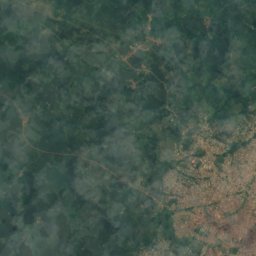
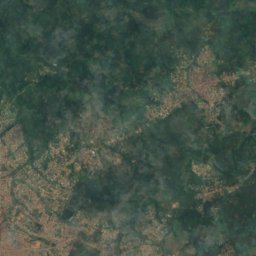
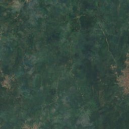
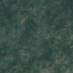
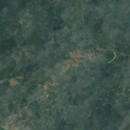
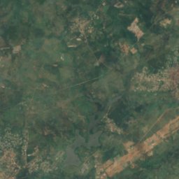
Satellite: Sentinel-2 cloudless 2016 by EOX IT Services GmbH · CC BY 4.0 · Contains modified Copernicus Sentinel data 2016
Ilesa
Osun State · 14 km SE
29°Oct high
26wet days
40score
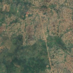
Satellite: Sentinel-2 cloudless 2016 by EOX IT Services GmbH · CC BY 4.0 · Contains modified Copernicus Sentinel data 2016
Ijebu-Jesa
Osun State · 17 km SE
29°Oct high
26wet days
40score
Around here
Osogbo and around
Nature

Satellite: Sentinel-2 cloudless 2016 by EOX IT Services GmbH · CC BY 4.0 · Contains modified Copernicus Sentinel data 2016
Otin River
River
Heritage

Museums


Satellite: Sentinel-2 cloudless 2016 by EOX IT Services GmbH · CC BY 4.0 · Contains modified Copernicus Sentinel data 2016