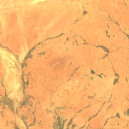
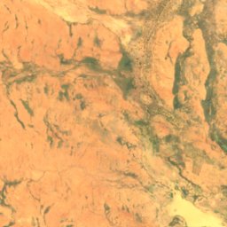
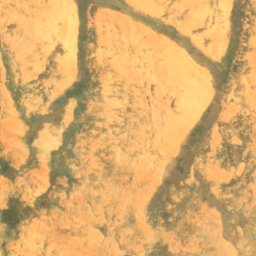
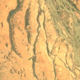
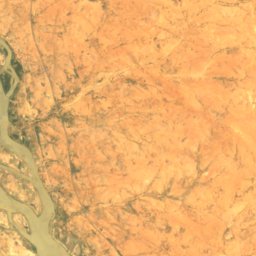
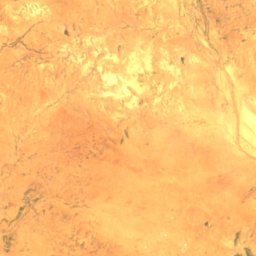
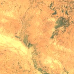
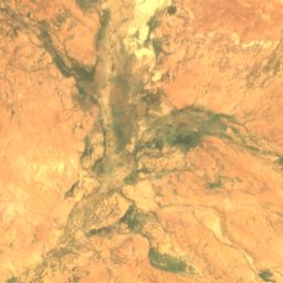
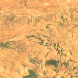
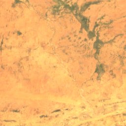
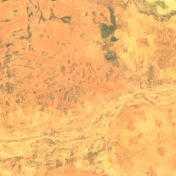
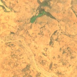
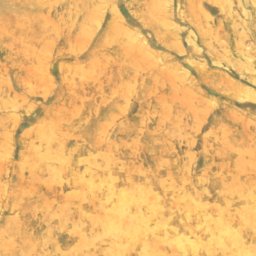
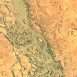
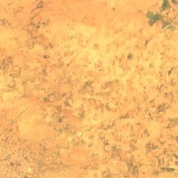
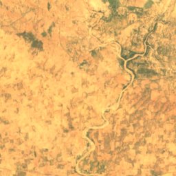
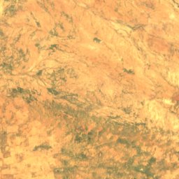

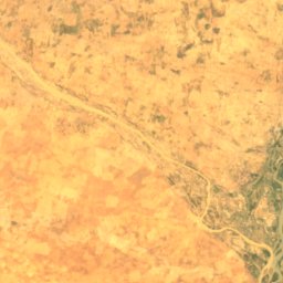
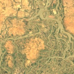
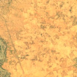
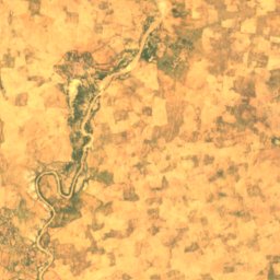
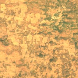
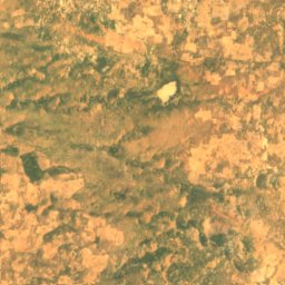
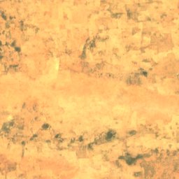
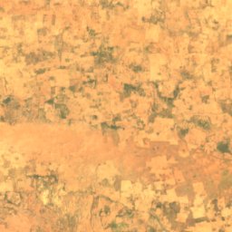
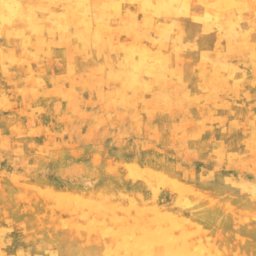
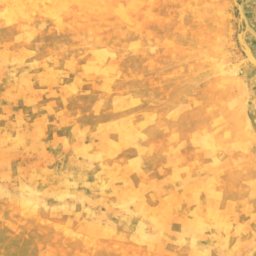
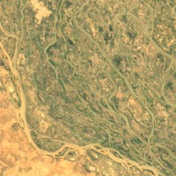
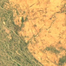
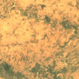
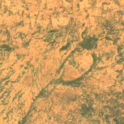
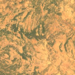
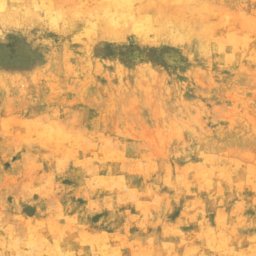
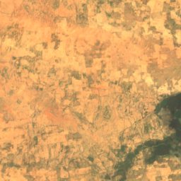
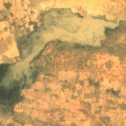
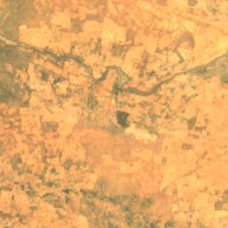
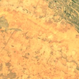
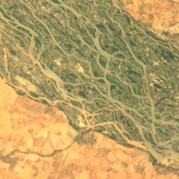
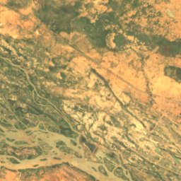
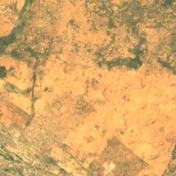
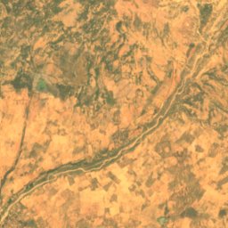
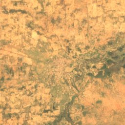
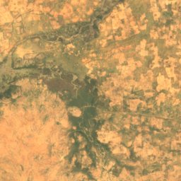
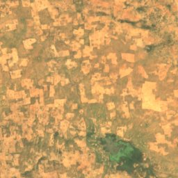
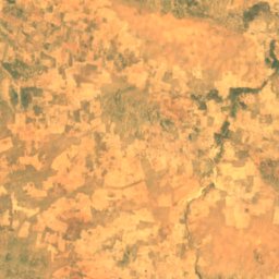
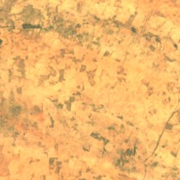
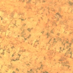
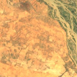
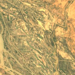
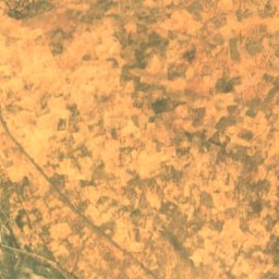
Satellite: Sentinel-2 cloudless 2016 by EOX IT Services GmbH · CC BY 4.0 · Contains modified Copernicus Sentinel data 2016
IslandAyorou, Tillabéri Region
Doulam
IslandBest Jan–Feb · Dec
Elevation–above sea level
Area–surface
Nearest townAyorou7.3 km
14.67° N, 0.91° EUTC+1 · West Africa Time
When to goAyorou · weather score
Best timeJan–Feb · Dec
October: high / low39° / 24°
Island
Doulam in brief
Doulam is an island in Ayorou, Tillabéri Region, Niger.
The nearest town is Ayorou, 7.3 km to the N, where the weather is best in January, February and December.
Weather nearby now
Forecast for Ayorou28°
Clear now
Today
26 Oct
39°
30°
Tue
27 Oct
38°
25°
Wed
28 Oct
38°
26°
Thu
29 Oct
39°
26°
Fri
30 Oct
39°
25°
Model run 12:00 UTCRefreshed several times a day
Map
Doulam from above
Nature nearbyAll of Niger
Satellite: Sentinel-2 cloudless 2016 by EOX IT Services GmbH · CC BY 4.0 · Contains modified Copernicus Sentinel data 2016
Satellite: Sentinel-2 cloudless 2016 by EOX IT Services GmbH · CC BY 4.0 · Contains modified Copernicus Sentinel data 2016
Satellite: Sentinel-2 cloudless 2016 by EOX IT Services GmbH · CC BY 4.0 · Contains modified Copernicus Sentinel data 2016
Satellite: Sentinel-2 cloudless 2016 by EOX IT Services GmbH · CC BY 4.0 · Contains modified Copernicus Sentinel data 2016
Around here
Ayorou and around

Photo: ACEI Cheung from Edmonton, Aberta, Canada · CC BY-SA 2.0 · Wikimedia CommonsReport this photo · linked, not stored
Ayorou
Tillabéri Region · Niger
Jan–Feb · Decbest months
37°July high
226 maltitude
Nature

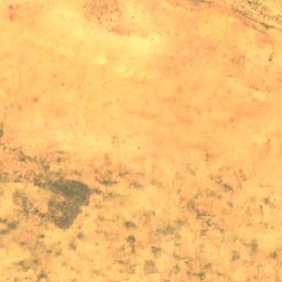
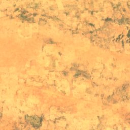
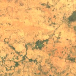


Satellite: Sentinel-2 cloudless 2016 by EOX IT Services GmbH · CC BY 4.0 · Contains modified Copernicus Sentinel data 2016
Mare d’Ingui
Lake
Satellite: Sentinel-2 cloudless 2016 by EOX IT Services GmbH · CC BY 4.0 · Contains modified Copernicus Sentinel data 2016
Ayérou Goungou Koré
Island