
Photo: http://www.newzealandslang.com · CC BY-SA 3.0 nz · Wikimedia Commons
North Island, Waikato RegionReport this photo · linked, not stored
North Island, Waikato RegionReport this photo · linked, not stored

Photo: Andy Rogers · CC BY-SA 2.0 · Wikimedia Commons
Tauranga Taupō RiverReport this photo · linked, not stored
Tauranga Taupō RiverTauranga Taupō RiverReport this photo · linked, not stored

Photo: Krzysztof Golik · CC BY-SA 4.0 · Wikimedia Commons
Motutaiko Island, Waikato RegionReport this photo · linked, not stored
Motutaiko Island, Waikato RegionMotutaiko Island, Waikato RegionReport this photo · linked, not stored
 Pihanga
IslandTūrangi, Waikato Region
North Island, Waikato Region
Island2,797 m elevationBest Jan–Mar
Elevation2,797 mabove sea level
Area113,729 km²surface
Nearest townTūrangi17 km
39.00° S, 176.00° EElevation 2,797 mUTC+13 · New Zealand Daylight Time
When to goTūrangi · weather score
Best timeJan–Mar
October: high / low15° / 8°
Island
North Island, Waikato Region in brief
North Island, Waikato Region is an island in Tūrangi, Waikato Region, New Zealand.
It lies at 2,797 m above sea level and covers about 113,729 km².
The nearest town in the atlas is Tūrangi, 17 km to the W, where the weather is best in January, February and March.
Weather nearby now
Forecast for Tūrangi6°
Cloudy now
Today
23 Oct
21°
6°
Sat
24 Oct
19°
12°
Sun
25 Oct
17°
9°
Mon
26 Oct
17°
10°
Tue
27 Oct
15°
9°
16 mm
Model run 00:00 UTCRefreshed several times a day
The island from above
113,729 km² · coastline as mapped in OpenStreetMapWhen to go
Climate of TūrangiThe best months around North Island, Waikato Region
Month score in Tūrangi
Comfort, dry days and sunshine · out of 10070
Jan
74
Feb
72
Mar
58
Apr
34
May
19
Jun
18
Jul
23
Aug
34
Sep
47
Oct
57
Nov
64
Dec
Map
North Island, Waikato Region from above
Nature nearbyAll of New Zealand


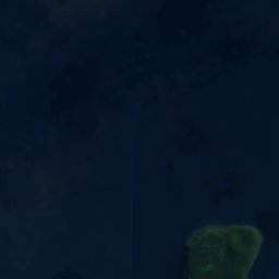
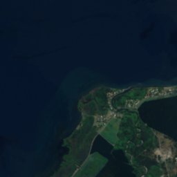
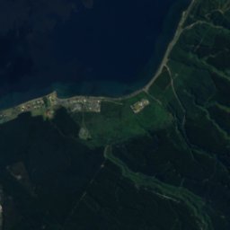
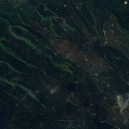
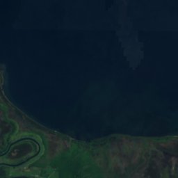
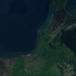
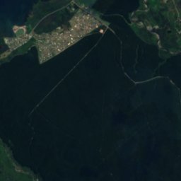
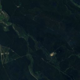
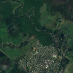
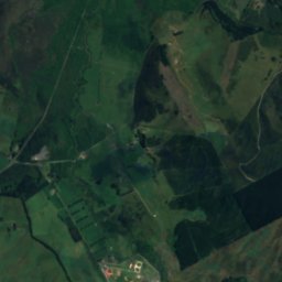
Satellite: Sentinel-2 cloudless 2016 by EOX IT Services GmbH · CC BY 4.0 · Contains modified Copernicus Sentinel data 2016
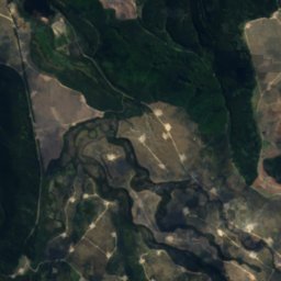
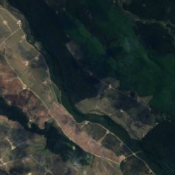
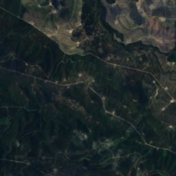
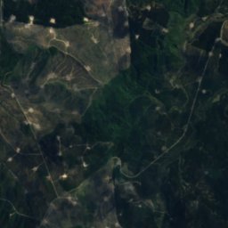
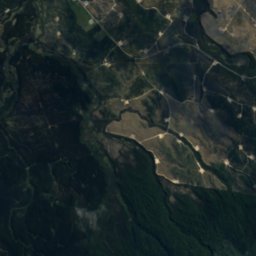
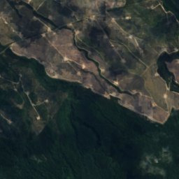
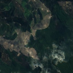
Satellite: Sentinel-2 cloudless 2016 by EOX IT Services GmbH · CC BY 4.0 · Contains modified Copernicus Sentinel data 2016
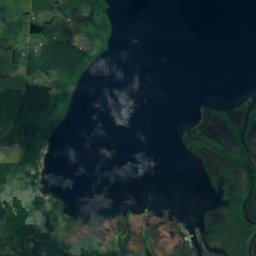
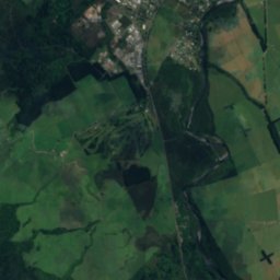
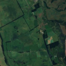
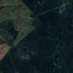
Satellite: Sentinel-2 cloudless 2016 by EOX IT Services GmbH · CC BY 4.0 · Contains modified Copernicus Sentinel data 2016

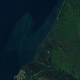
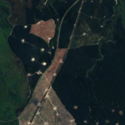
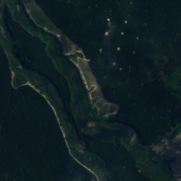
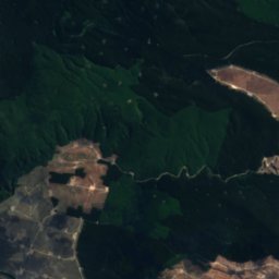
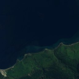
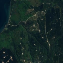
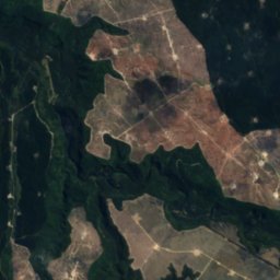
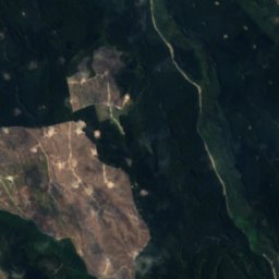
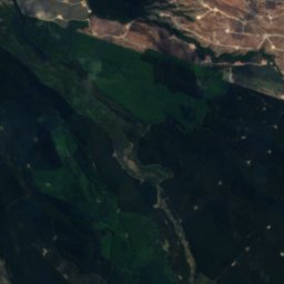
Satellite: Sentinel-2 cloudless 2016 by EOX IT Services GmbH · CC BY 4.0 · Contains modified Copernicus Sentinel data 2016

Summits nearbyMountains of New Zealand
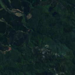
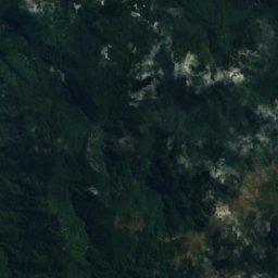
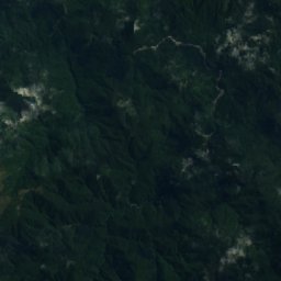
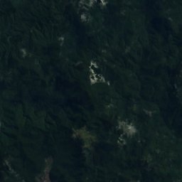
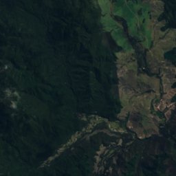
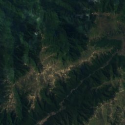
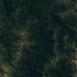
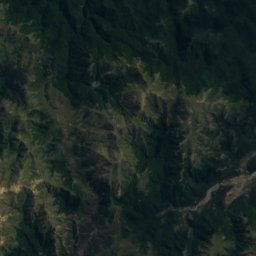
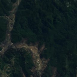
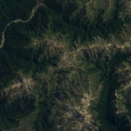
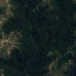
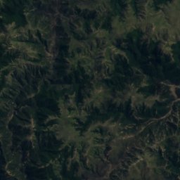
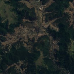
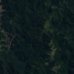
Satellite: Sentinel-2 cloudless 2016 by EOX IT Services GmbH · CC BY 4.0 · Contains modified Copernicus Sentinel data 2016
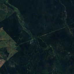
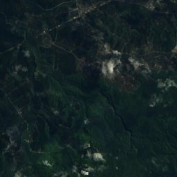
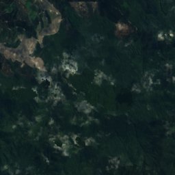
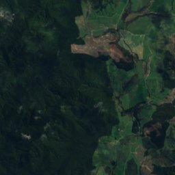
Satellite: Sentinel-2 cloudless 2016 by EOX IT Services GmbH · CC BY 4.0 · Contains modified Copernicus Sentinel data 2016
Satellite: Sentinel-2 cloudless 2016 by EOX IT Services GmbH · CC BY 4.0 · Contains modified Copernicus Sentinel data 2016
Satellite: Sentinel-2 cloudless 2016 by EOX IT Services GmbH · CC BY 4.0 · Contains modified Copernicus Sentinel data 2016
Satellite: Sentinel-2 cloudless 2016 by EOX IT Services GmbH · CC BY 4.0 · Contains modified Copernicus Sentinel data 2016

Stay nearby
Towns close by

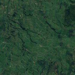
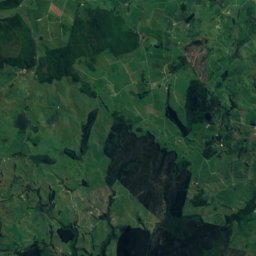
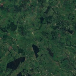
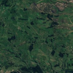
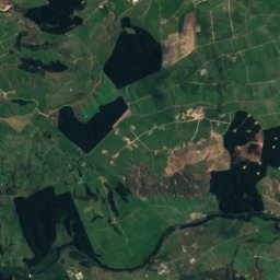
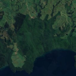
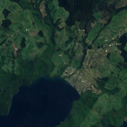
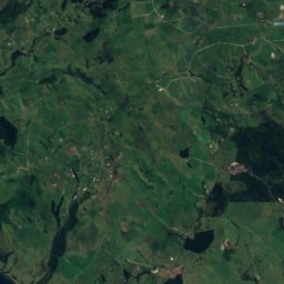
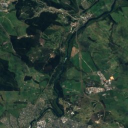
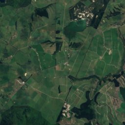

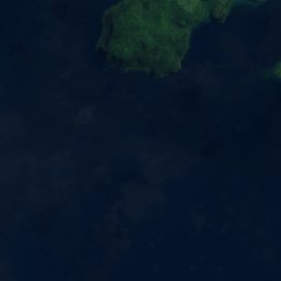
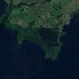
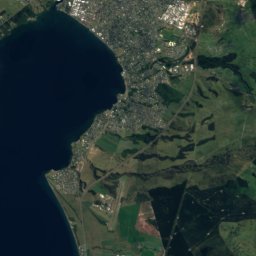
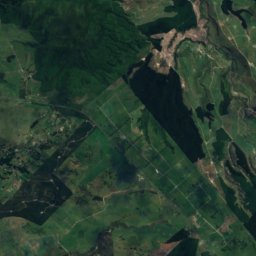
Satellite: Sentinel-2 cloudless 2016 by EOX IT Services GmbH · CC BY 4.0 · Contains modified Copernicus Sentinel data 2016
Acacia Bay
Waikato Region · 33 km N
15°Oct high
12wet days
48score
Around here
Tūrangi and around
Nature

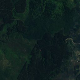
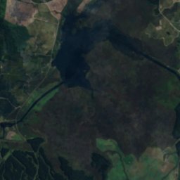
Satellite: Sentinel-2 cloudless 2016 by EOX IT Services GmbH · CC BY 4.0 · Contains modified Copernicus Sentinel data 2016
Lake Rotoaira
Lake · 564 m
Satellite: Sentinel-2 cloudless 2016 by EOX IT Services GmbH · CC BY 4.0 · Contains modified Copernicus Sentinel data 2016
Waiotaka River
River
Mountains

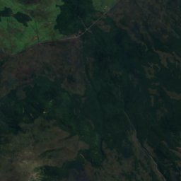
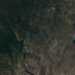
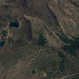
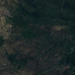
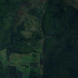
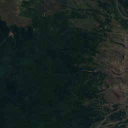
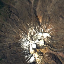
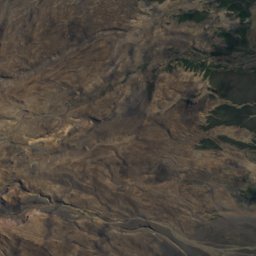
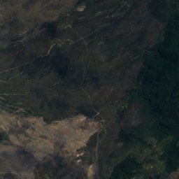
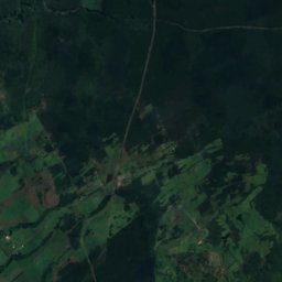
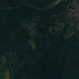
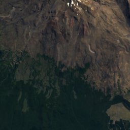
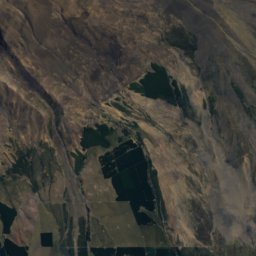
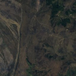
Satellite: Sentinel-2 cloudless 2016 by EOX IT Services GmbH · CC BY 4.0 · Contains modified Copernicus Sentinel data 2016
Tahurangi
2,797 m
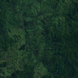
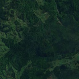
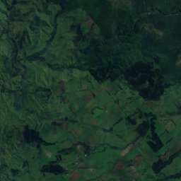


Satellite: Sentinel-2 cloudless 2016 by EOX IT Services GmbH · CC BY 4.0 · Contains modified Copernicus Sentinel data 2016
Paretetaitonga
2,751 m