



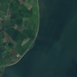




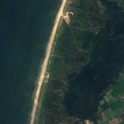





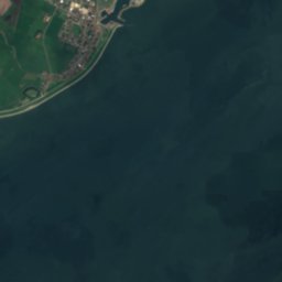





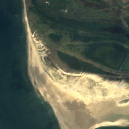
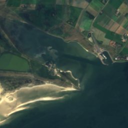
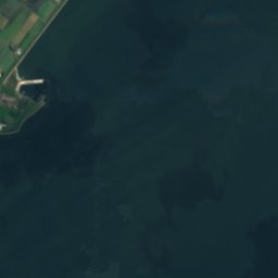





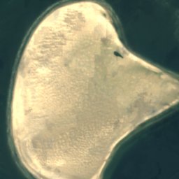
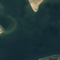
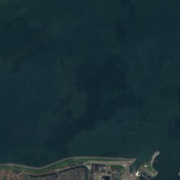





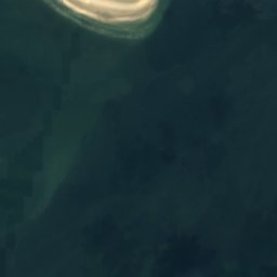
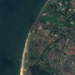
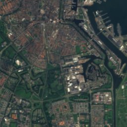
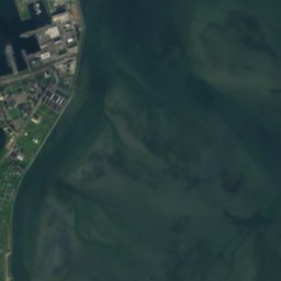


Satellite: Sentinel-2 cloudless 2016 by EOX IT Services GmbH · CC BY 4.0 · Contains modified Copernicus Sentinel data 2016
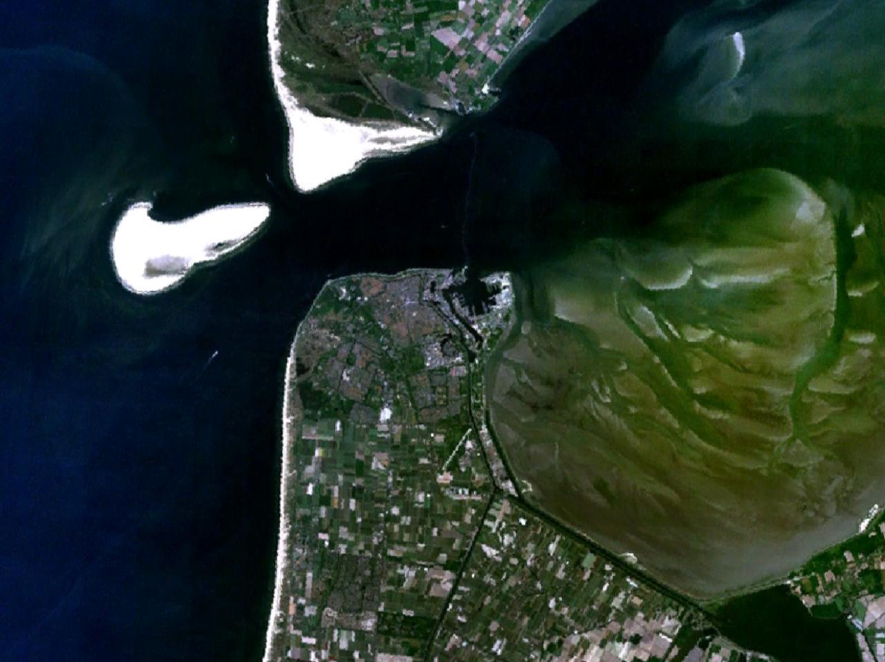 Noorderhaaks
BeachDen Helder, North Holland
Onrust
BeachBest Jun–Aug
Elevation–above sea level
Sea, warmest19°CAugust
Nearest townDen Helder4.1 km
52.99° N, 4.73° EUTC+1 · Central European Standard Time
When to goDen Helder · weather score
Best timeJun–Aug
October: high / low14° / 9°
Beach
Onrust in brief
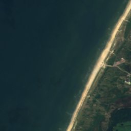
Onrust is a beach in Den Helder, North Holland, Netherlands.
The nearest town is Den Helder, 4.1 km to the SE, where the weather is best in June, July and August.
The sea is warmest in August, at about 19°C.
Weather nearby now
Forecast for Den Helder10°
Cloudy now
Today
31 Oct
12°
7°
Sun
1 Nov
12°
9°
Mon
2 Nov
13°
10°
2 mm
Tue
3 Nov
12°
8°
1 mm
Wed
4 Nov
10°
6°
Model run 12:00 UTCRefreshed several times a day
Sea and air through the year
Sea surface temperature off the coast and the average daily high in Den Helder, month by month.Jan6°6°
Feb6°6°
Mar6°9°
Apr8°12°
May11°16°
Jun15°18°
Jul17°21°
Aug19°21°
Sep17°18°
Oct15°14°
Nov11°10°
Dec8°7°
seaair, daily high
Map
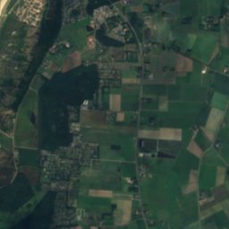
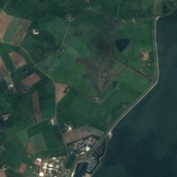
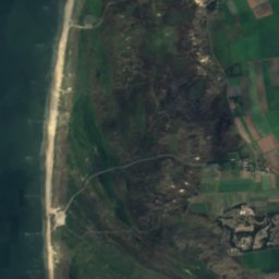
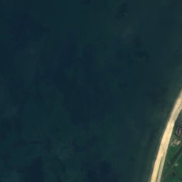
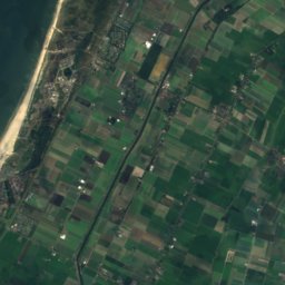
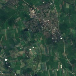
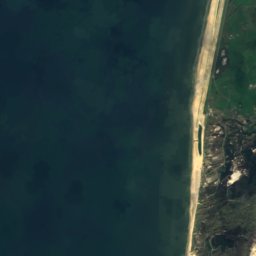
Onrust from above
Nature nearbyAll of the Netherlands




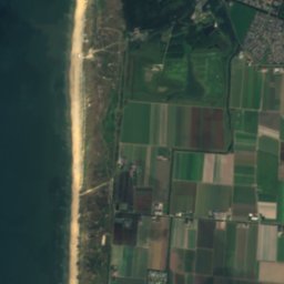




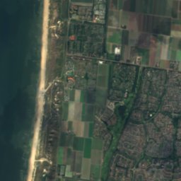
Satellite: Sentinel-2 cloudless 2016 by EOX IT Services GmbH · CC BY 4.0 · Contains modified Copernicus Sentinel data 2016



Satellite: Sentinel-2 cloudless 2016 by EOX IT Services GmbH · CC BY 4.0 · Contains modified Copernicus Sentinel data 2016



Satellite: Sentinel-2 cloudless 2016 by EOX IT Services GmbH · CC BY 4.0 · Contains modified Copernicus Sentinel data 2016

Satellite: Sentinel-2 cloudless 2016 by EOX IT Services GmbH · CC BY 4.0 · Contains modified Copernicus Sentinel data 2016




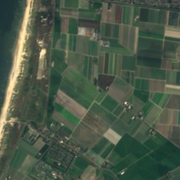
Satellite: Sentinel-2 cloudless 2016 by EOX IT Services GmbH · CC BY 4.0 · Contains modified Copernicus Sentinel data 2016
Stay nearby
Towns close by

Photo: Mouse at Dutch Wikipedia · CC BY-SA 3.0 · Wikimedia CommonsReport this photo · linked, not stored
Den Helder
North Holland · 4.1 km SE
14°Oct high
16wet days
42score


Photo: Jim van der Mee from Netherlands · CC BY-SA 2.0 · Wikimedia CommonsReport this photo · linked, not stored
Huisduinen
North Holland · 4.3 km S
14°Oct high
16wet days
42score

Around here
Den Helder and around
Photo: Mouse at Dutch Wikipedia · CC BY-SA 3.0 · Wikimedia CommonsReport this photo · linked, not stored
Den Helder
North Holland · Netherlands
Jun–Augbest months
21°July high
3 maltitude
Nature


Mountains




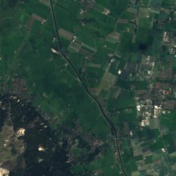
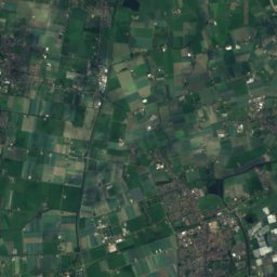


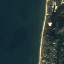
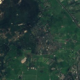
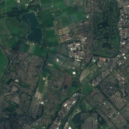
Satellite: Sentinel-2 cloudless 2016 by EOX IT Services GmbH · CC BY 4.0 · Contains modified Copernicus Sentinel data 2016
Catrijper Nok
55 m
Heritage

Photo: Gebruiker:Rudolphous · CC BY-SA 3.0 · Wikimedia CommonsReport this photo · linked, not stored
Nieuwe Kerk, Den Helder
Rijksmonument · 1839


Photo: Gebruiker:Rudolphous · CC BY-SA 3.0 · Wikimedia CommonsReport this photo · linked, not stored
Petrus en Pauluskerk, Den Helder
Rijksmonument · 1840
Museums

Photo: bertknot from scarborough, australia · CC BY-SA 2.0 · Wikimedia CommonsReport this photo · linked, not stored
Dutch Navy Museum
Naval museum


Photo: Henk Stapel, director of the Reddingmuseum · Public domain · Wikimedia CommonsReport this photo · linked, not stored

Nationaal Reddingmuseum Dorus Rijkers
1982