
Photo: Ninara from Helsinki, Finland · CC BY 2.0 · Wikimedia Commons
Plage des NationsReport this photo · linked, not stored
Plage des NationsReport this photo · linked, not stored

Photo: Anass Sedrati · CC BY-SA 3.0 · Wikimedia Commons
CheliraReport this photo · linked, not stored
CheliraCheliraReport this photo · linked, not stored
BeachBouknadel, Rabat-Salé-Kénitra
Plage des Nations
BeachBest May–Jul
Elevation–above sea level
Sea, warmest23°CAugust
Nearest townBouknadel4.1 km
34.15° N, 6.73° WUTC+0 · Western European Standard Time
When to goBouknadel · weather score
Best timeMay–Jul
October: high / low25° / 15°
Beach
Plage des Nations in brief
Plage des Nations is a beach in Bouknadel, Rabat-Salé-Kénitra, Morocco.
The nearest town in the atlas is Bouknadel, 4.1 km to the S, where the weather is best in May, June and July.
The sea is warmest in August, at about 23°C.
Weather nearby now
Forecast for Bouknadel20°
Cloudy now
Today
22 Oct
25°
12°
Fri
23 Oct
24°
15°
Sat
24 Oct
24°
12°
Sun
25 Oct
25°
11°
Mon
26 Oct
27°
12°
Model run 00:00 UTCRefreshed several times a day
Sea and air through the year
Sea surface temperature off the coast and the average daily high in Bouknadel, month by month.Jan17°18°
Feb17°18°
Mar17°20°
Apr18°21°
May19°24°
Jun21°26°
Jul22°27°
Aug23°28°
Sep22°27°
Oct21°25°
Nov20°21°
Dec18°19°
seaair, daily high
Map
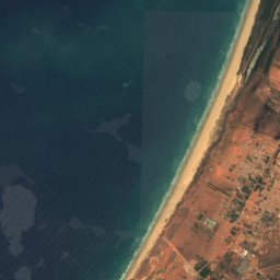
Plage des Nations from above
Nature nearbyAll of Morocco
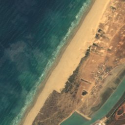
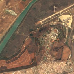
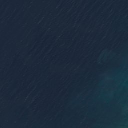
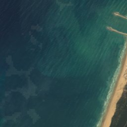
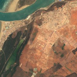


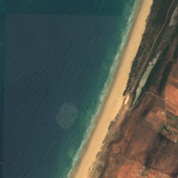
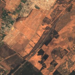
Satellite: Sentinel-2 cloudless 2016 by EOX IT Services GmbH · CC BY 4.0 · Contains modified Copernicus Sentinel data 2016



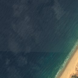
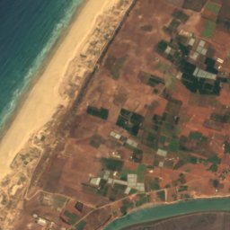
Satellite: Sentinel-2 cloudless 2016 by EOX IT Services GmbH · CC BY 4.0 · Contains modified Copernicus Sentinel data 2016
Satellite: Sentinel-2 cloudless 2016 by EOX IT Services GmbH · CC BY 4.0 · Contains modified Copernicus Sentinel data 2016
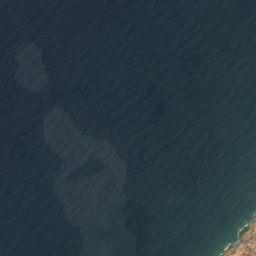
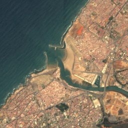
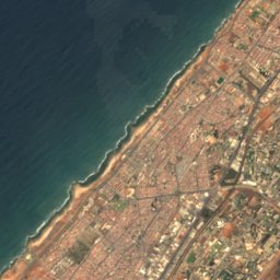
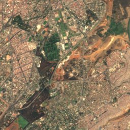


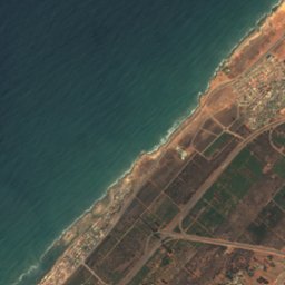
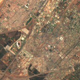
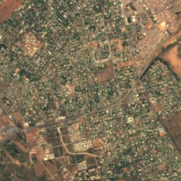
Satellite: Sentinel-2 cloudless 2016 by EOX IT Services GmbH · CC BY 4.0 · Contains modified Copernicus Sentinel data 2016
Stay nearby
Towns close by


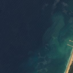
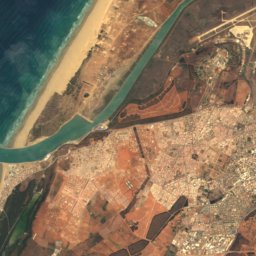

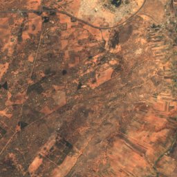

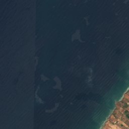
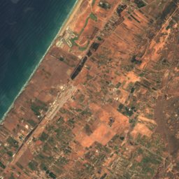
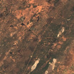
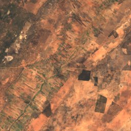
Satellite: Sentinel-2 cloudless 2016 by EOX IT Services GmbH · CC BY 4.0 · Contains modified Copernicus Sentinel data 2016
Sidi Taibi
Rabat-Salé-Kénitra · 5.9 km NE
25°Oct high
5wet days
88score



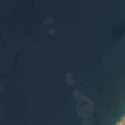
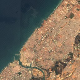
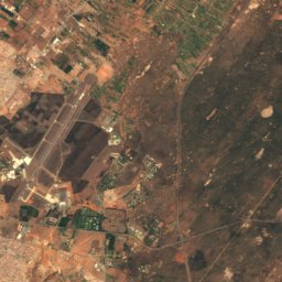
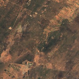
Satellite: Sentinel-2 cloudless 2016 by EOX IT Services GmbH · CC BY 4.0 · Contains modified Copernicus Sentinel data 2016
Layayda
Rabat-Salé-Kénitra · 9.4 km SW
25°Oct high
5wet days
88score

Photo: Unknown authorUnknown author or not provided · Public domain · Wikimedia CommonsReport this photo · linked, not stored
Mehdya
Rabat-Salé-Kénitra · 13 km NE
25°Oct high
5wet days
88score
Around here
Bouknadel and around
Nature
Satellite: Sentinel-2 cloudless 2016 by EOX IT Services GmbH · CC BY 4.0 · Contains modified Copernicus Sentinel data 2016
Sebou River
River
Satellite: Sentinel-2 cloudless 2016 by EOX IT Services GmbH · CC BY 4.0 · Contains modified Copernicus Sentinel data 2016
Dar es-Soltan 1
Cave
Heritage


Photo: Davide Cesare Veniani · CC BY-SA 3.0 · Wikimedia CommonsReport this photo · linked, not stored
Kasbah of the Udayas
Moroccan cultural heritage · 1200
Museums


Mohammed VI Museum of Modern and Contemporary Art
2014