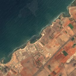
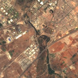
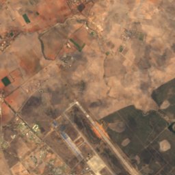
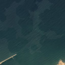
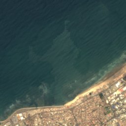
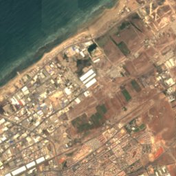
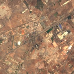
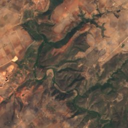
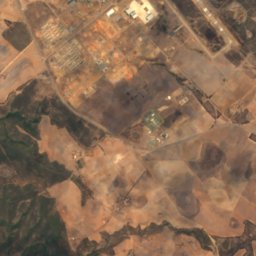
Satellite: Sentinel-2 cloudless 2016 by EOX IT Services GmbH · CC BY 4.0 · Contains modified Copernicus Sentinel data 2016
BeachMohammedia, Casablanca-Settat
Miramar beach
BeachBest Jun–Aug
Elevation–above sea level
Sea, warmest23°CAugust
Nearest townMohammedia2.4 km
33.71° N, 7.39° WUTC+0 · Western European Standard Time
When to goMohammedia · weather score
Best timeJun–Aug
October: high / low24° / 17°
Beach
Miramar beach in brief
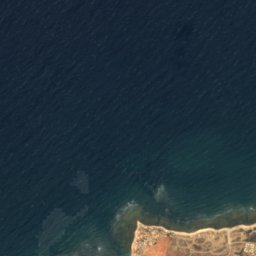
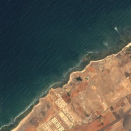
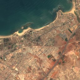
Miramar beach is a beach in Mohammedia, Casablanca-Settat, Morocco.
It covers about 0.3 km².
The nearest town in the atlas is Mohammedia, 2.4 km to the S, where the weather is best in June, July and August.
The sea is warmest in August, at about 23°C.
Weather nearby now
Forecast for Mohammedia20°
Cloudy now
Today
22 Oct
21°
17°
Fri
23 Oct
21°
19°
Sat
24 Oct
21°
18°
Sun
25 Oct
21°
17°
Mon
26 Oct
21°
17°
Model run 00:00 UTCRefreshed several times a day
Sea and air through the year
Sea surface temperature off the coast and the average daily high in Mohammedia, month by month.Jan17°17°
Feb17°18°
Mar17°19°
Apr18°20°
May19°22°
Jun21°23°
Jul22°25°
Aug23°25°
Sep23°25°
Oct21°24°
Nov20°21°
Dec18°19°
seaair, daily high
Map
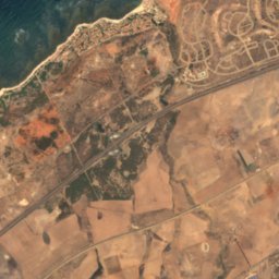
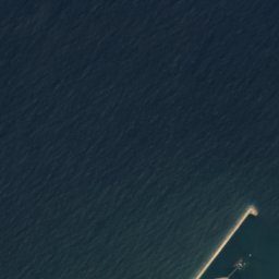
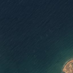
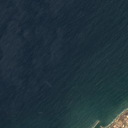
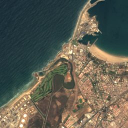
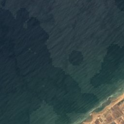
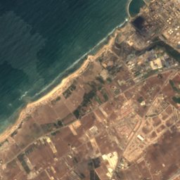
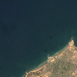
Miramar beach from above
Nature nearbyAll of Morocco
Satellite: Sentinel-2 cloudless 2016 by EOX IT Services GmbH · CC BY 4.0 · Contains modified Copernicus Sentinel data 2016
Satellite: Sentinel-2 cloudless 2016 by EOX IT Services GmbH · CC BY 4.0 · Contains modified Copernicus Sentinel data 2016
Satellite: Sentinel-2 cloudless 2016 by EOX IT Services GmbH · CC BY 4.0 · Contains modified Copernicus Sentinel data 2016
Satellite: Sentinel-2 cloudless 2016 by EOX IT Services GmbH · CC BY 4.0 · Contains modified Copernicus Sentinel data 2016
Stay nearby
Towns close by


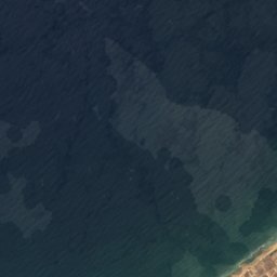
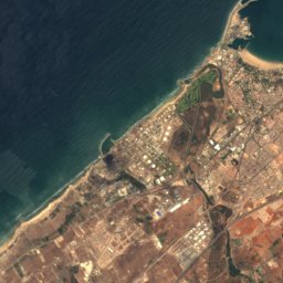
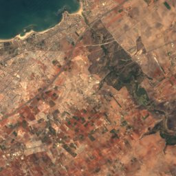
Satellite: Sentinel-2 cloudless 2016 by EOX IT Services GmbH · CC BY 4.0 · Contains modified Copernicus Sentinel data 2016
Aïn Harrouda
Casablanca-Settat · 9.8 km SW
24°Oct high
6wet days
87score


Around here
Mohammedia and around
Nature
Satellite: Sentinel-2 cloudless 2016 by EOX IT Services GmbH · CC BY 4.0 · Contains modified Copernicus Sentinel data 2016
Oued Mellah
River
Satellite: Sentinel-2 cloudless 2016 by EOX IT Services GmbH · CC BY 4.0 · Contains modified Copernicus Sentinel data 2016
Manessmane Beach
Beach
Satellite: Sentinel-2 cloudless 2016 by EOX IT Services GmbH · CC BY 4.0 · Contains modified Copernicus Sentinel data 2016
ilhas de Fedala
Island