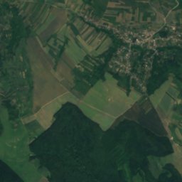
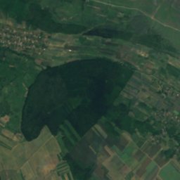
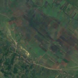
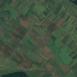
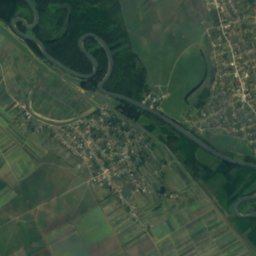
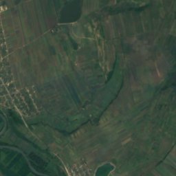
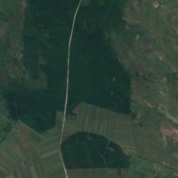
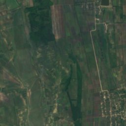
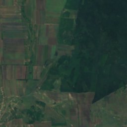
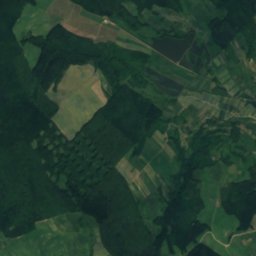
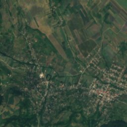
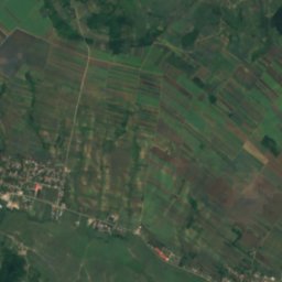
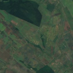
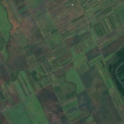
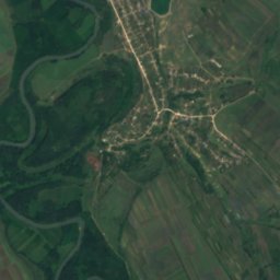
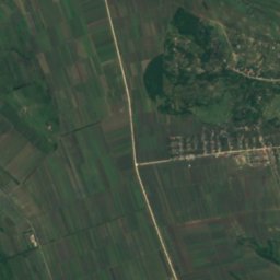
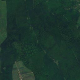
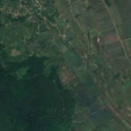
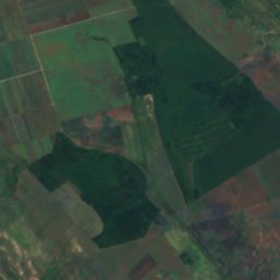
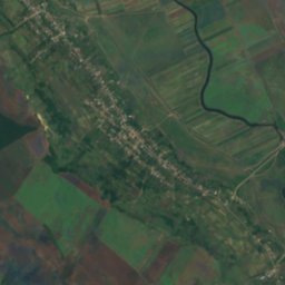
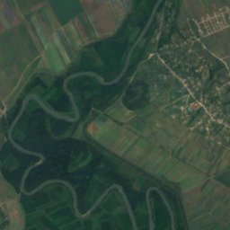
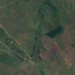
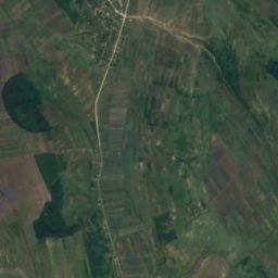
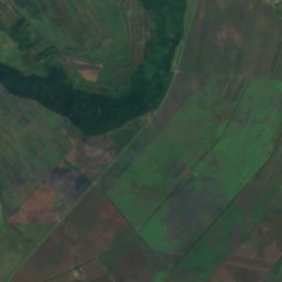
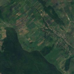
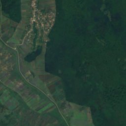
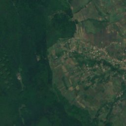
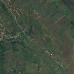
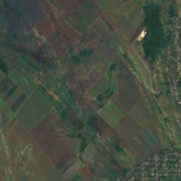
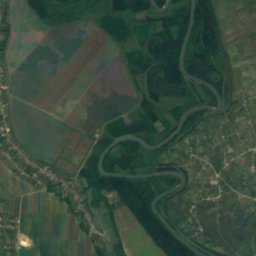
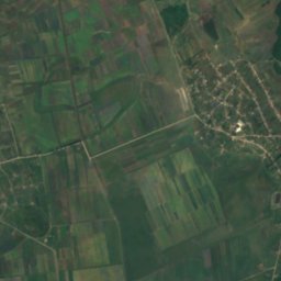
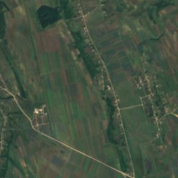
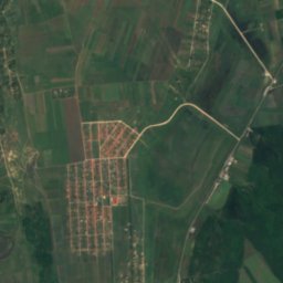
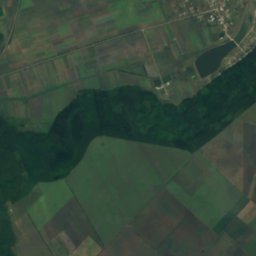
Satellite: Sentinel-2 cloudless 2016 by EOX IT Services GmbH · CC BY 4.0 · Contains modified Copernicus Sentinel data 2016

Photo: Cezarika1 at Romanian Wikipedia · Public domain · Wikimedia Commons
Jijia RiverReport this photo · linked, not stored
Jijia RiverJijia RiverReport this photo · linked, not stored

Photo: Cezar Suceveanu · CC BY 3.0 · Wikimedia Commons
Moșna RiverReport this photo · linked, not stored
Moșna RiverMoșna RiverReport this photo · linked, not stored
RiverNemțeni, Hînceşti
Bohotin River
RiverBest Apr · Sep–Oct
Elevation–above sea level
Length22 kmsource to mouth
Nearest townNemțeni3.0 km
46.90° N, 28.08° EUTC+3 · Eastern European Summer Time
When to goNemțeni · weather score
Best timeApr · Sep–Oct
October: high / low16° / 7°
River
Bohotin River in brief
Bohotin River is a river in Nemțeni, Hînceşti, Moldova — river in Romania.
The nearest town in the atlas is Nemțeni, 3.0 km to the E, where the weather is best in April, September and October.
Bohotin River is 22 km long.
Weather nearby now
Forecast for Nemțeni16°
Rain now
Today
22 Oct
19°
14°
2 mm
Fri
23 Oct
16°
12°
5 mm
Sat
24 Oct
19°
11°
Sun
25 Oct
17°
7°
Mon
26 Oct
18°
9°
Model run 00:00 UTCRefreshed several times a day
When to go
Climate of NemțeniThe best months around Bohotin River
Month score in Nemțeni
Comfort, dry days and sunshine · out of 10037
Jan
37
Feb
36
Mar
71
Apr
71
May
67
Jun
59
Jul
63
Aug
82
Sep
73
Oct
31
Nov
29
Dec
Map
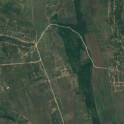
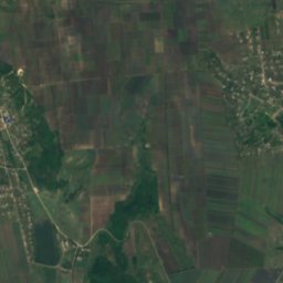
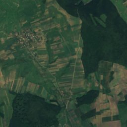
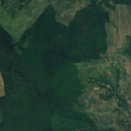
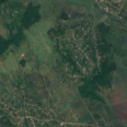
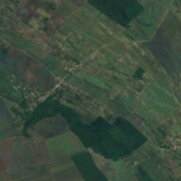
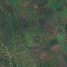
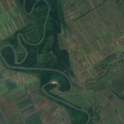
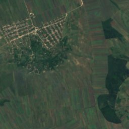
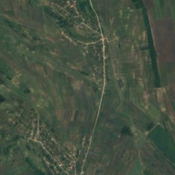
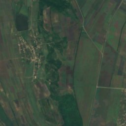
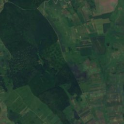
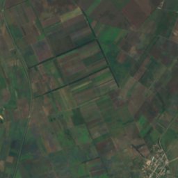
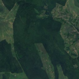
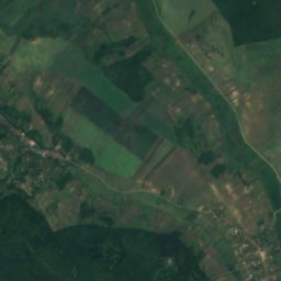
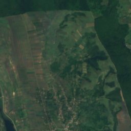
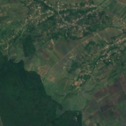
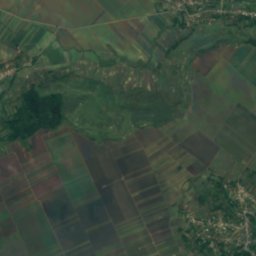
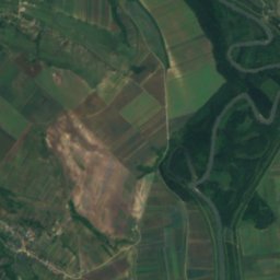
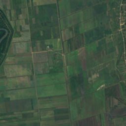
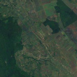
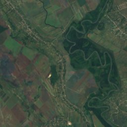
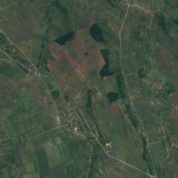
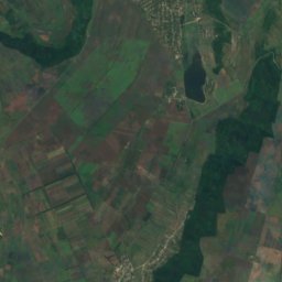
Bohotin River from above
Nature nearbyAll of Moldova

Photo: Cezarika1 at Romanian Wikipedia · Public domain · Wikimedia CommonsReport this photo · linked, not stored
Satellite: Sentinel-2 cloudless 2016 by EOX IT Services GmbH · CC BY 4.0 · Contains modified Copernicus Sentinel data 2016

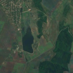
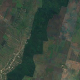
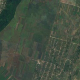
Satellite: Sentinel-2 cloudless 2016 by EOX IT Services GmbH · CC BY 4.0 · Contains modified Copernicus Sentinel data 2016
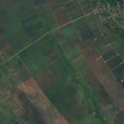
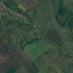
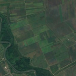
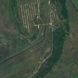
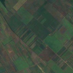
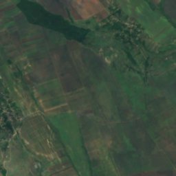
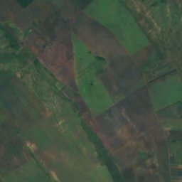
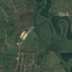
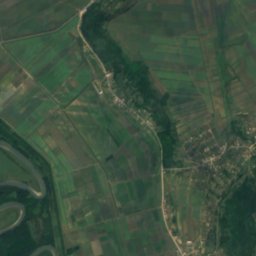
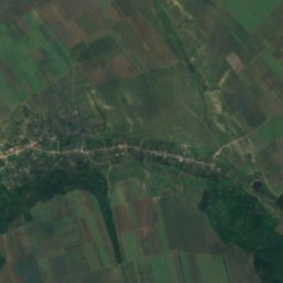
Satellite: Sentinel-2 cloudless 2016 by EOX IT Services GmbH · CC BY 4.0 · Contains modified Copernicus Sentinel data 2016
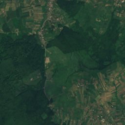
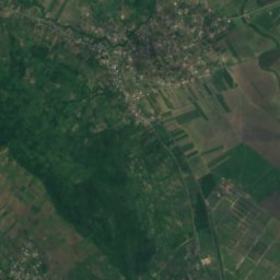
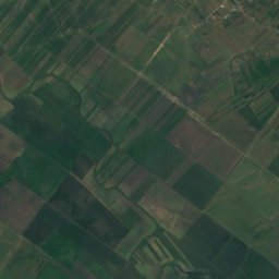
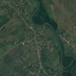
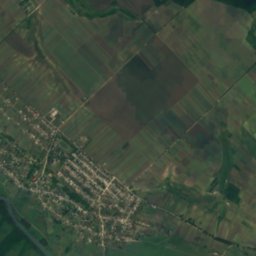
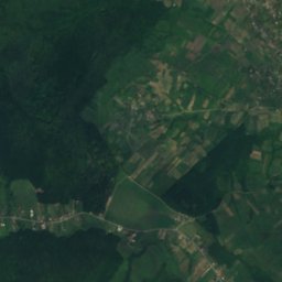
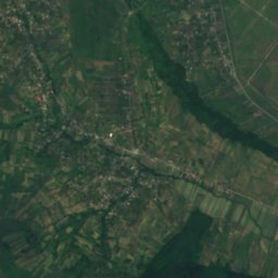
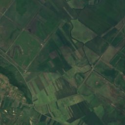
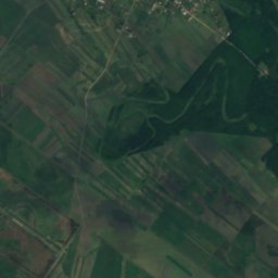
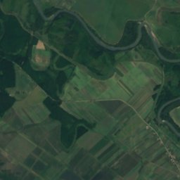
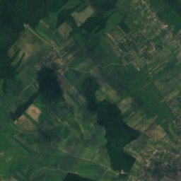
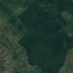
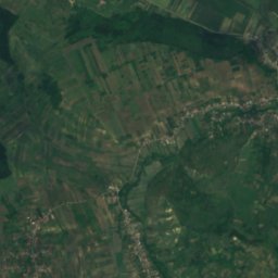
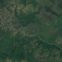
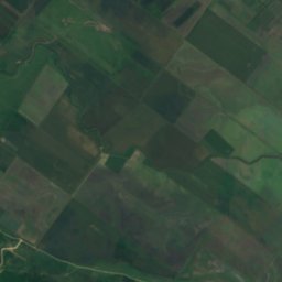
Satellite: Sentinel-2 cloudless 2016 by EOX IT Services GmbH · CC BY 4.0 · Contains modified Copernicus Sentinel data 2016
Stay nearby
Towns close by

Photo: Society for Birds and Nature Protection of Moldova · CC BY-SA 4.0 · Wikimedia CommonsReport this photo · linked, not stored
Nemțeni
Hînceşti · 3.0 km E
16°Oct high
6wet days
73score

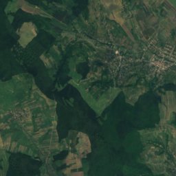
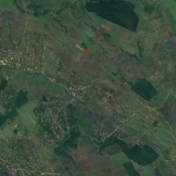
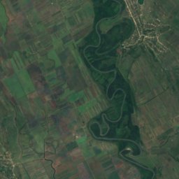
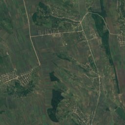
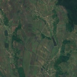
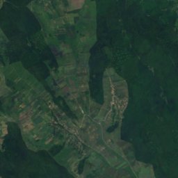
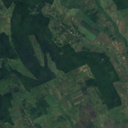
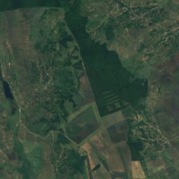
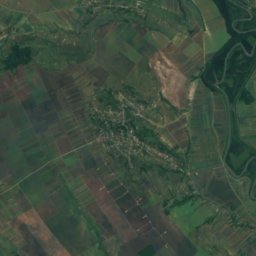
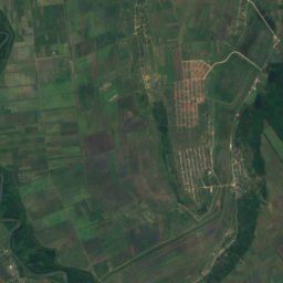
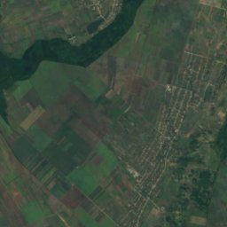
Satellite: Sentinel-2 cloudless 2016 by EOX IT Services GmbH · CC BY 4.0 · Contains modified Copernicus Sentinel data 2016
Obileni
Hînceşti · 6.7 km SE
16°Oct high
6wet days
75score

Photo: Society for Birds and Nature Protection of Moldova · CC BY-SA 4.0 · Wikimedia CommonsReport this photo · linked, not stored
Zberoaia
Nisporeni · 7.5 km N
16°Oct high
6wet days
73score
Around here
Nemțeni and around
Photo: Society for Birds and Nature Protection of Moldova · CC BY-SA 4.0 · Wikimedia CommonsReport this photo · linked, not stored
Nemțeni
Hînceşti · Moldova
Apr · Sep–Octbest months
30°July high
29 maltitude
Nature
Photo: Cezarika1 at Romanian Wikipedia · Public domain · Wikimedia CommonsReport this photo · linked, not stored
Jijia River
River
Satellite: Sentinel-2 cloudless 2016 by EOX IT Services GmbH · CC BY 4.0 · Contains modified Copernicus Sentinel data 2016
Cozia River
River
Mountains

Heritage


Satellite: Sentinel-2 cloudless 2016 by EOX IT Services GmbH · CC BY 4.0 · Contains modified Copernicus Sentinel data 2016
Spring of Nemțeni
hydrological natural monument of Moldova


Saint Nicholas wooden church in Bălăurești, Nisporeni
architectural monument of Moldova