
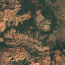
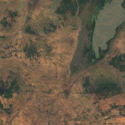
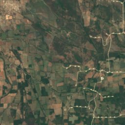
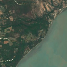





Satellite: Sentinel-2 cloudless 2016 by EOX IT Services GmbH · CC BY 4.0 · Contains modified Copernicus Sentinel data 2016
BeachJuchitán de Zaragoza, Oaxaca
Playa Cascalote
BeachBest Jan–Feb · Dec
Elevation–above sea level
Sea, warmest30°CAugust
Nearest townJuchitán de Zaragoza23 km
16.40° N, 94.81° WUTC−6 · Central Standard Time
When to goJuchitán de Zaragoza · weather score
Best timeJan–Feb · Dec
October: high / low30° / 24°
Beach
Playa Cascalote in brief
Playa Cascalote is a beach in Juchitán de Zaragoza, Oaxaca, Mexico.
The nearest town is Juchitán de Zaragoza, 23 km to the W, where the weather is best in January, February and December.
The sea is warmest in August, at about 30°C.
Weather nearby now
Forecast for Juchitán de Zaragoza25°
Clear now
Today
31 Oct
34°
24°
Sun
1 Nov
33°
26°
Mon
2 Nov
34°
26°
Tue
3 Nov
36°
25°
Wed
4 Nov
35°
25°
Model run 12:00 UTCRefreshed several times a day
Sea and air through the year
Sea surface temperature off the coast and the average daily high in Juchitán de Zaragoza, month by month.Jan26°29°
Feb26°30°
Mar27°31°
Apr28°33°
May29°34°
Jun30°32°
Jul30°32°
Aug30°32°
Sep30°31°
Oct29°30°
Nov27°30°
Dec27°29°
seaair, daily high
Map
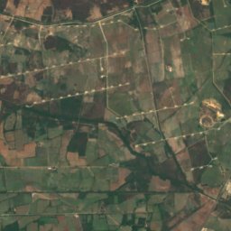
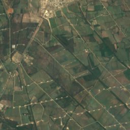
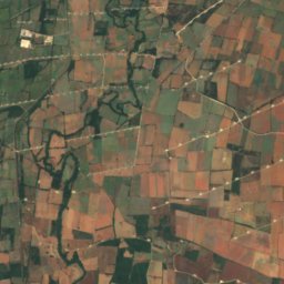
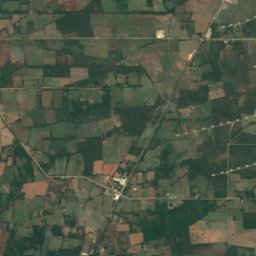
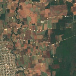
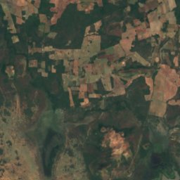
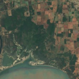
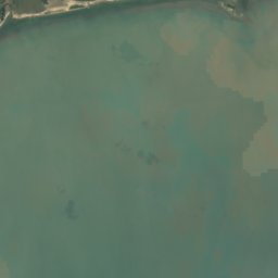
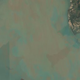
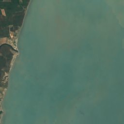
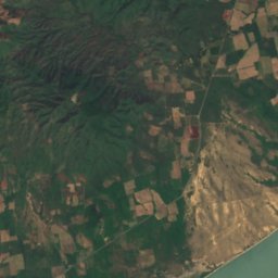
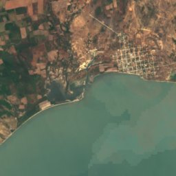
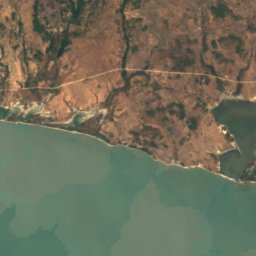
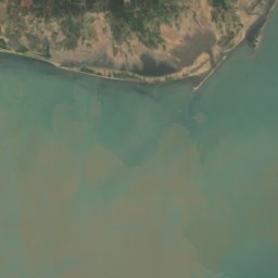
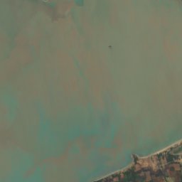
Playa Cascalote from above
Nature nearbyAll of Mexico
Satellite: Sentinel-2 cloudless 2016 by EOX IT Services GmbH · CC BY 4.0 · Contains modified Copernicus Sentinel data 2016
Satellite: Sentinel-2 cloudless 2016 by EOX IT Services GmbH · CC BY 4.0 · Contains modified Copernicus Sentinel data 2016
Satellite: Sentinel-2 cloudless 2016 by EOX IT Services GmbH · CC BY 4.0 · Contains modified Copernicus Sentinel data 2016
Satellite: Sentinel-2 cloudless 2016 by EOX IT Services GmbH · CC BY 4.0 · Contains modified Copernicus Sentinel data 2016


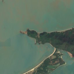
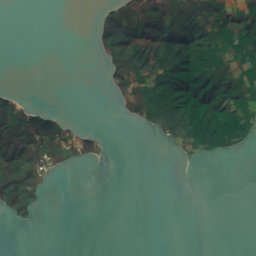

Satellite: Sentinel-2 cloudless 2016 by EOX IT Services GmbH · CC BY 4.0 · Contains modified Copernicus Sentinel data 2016
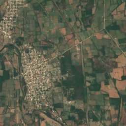
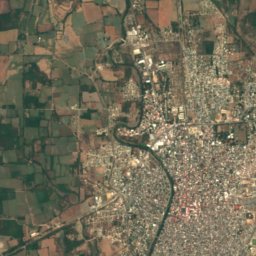
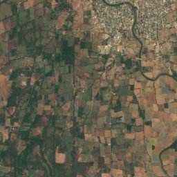
Satellite: Sentinel-2 cloudless 2016 by EOX IT Services GmbH · CC BY 4.0 · Contains modified Copernicus Sentinel data 2016
Stay nearby
Towns close by
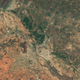
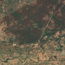
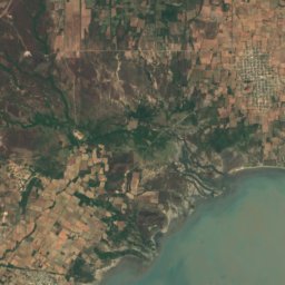
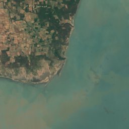
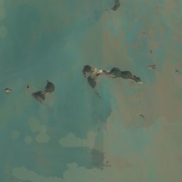
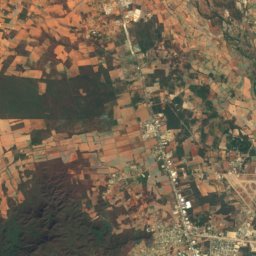
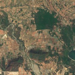
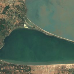
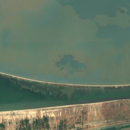
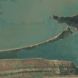
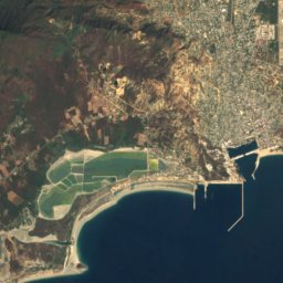
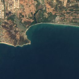

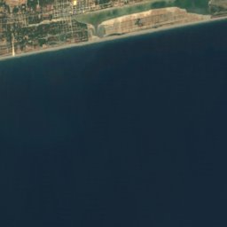
Satellite: Sentinel-2 cloudless 2016 by EOX IT Services GmbH · CC BY 4.0 · Contains modified Copernicus Sentinel data 2016
San Mateo del Mar
Oaxaca · 28 km SW
29°Oct high
18wet days
46score
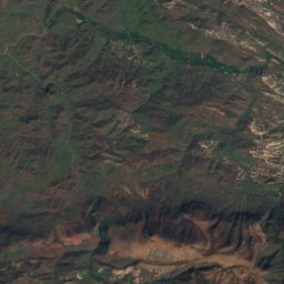
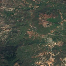
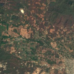
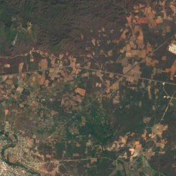
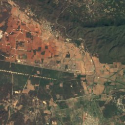
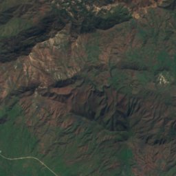
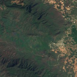
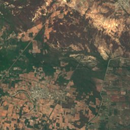
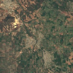
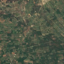
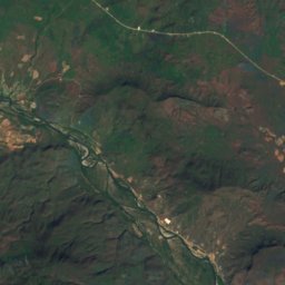
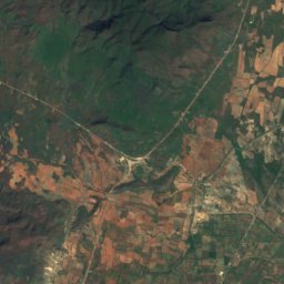
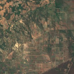
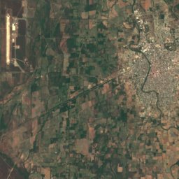
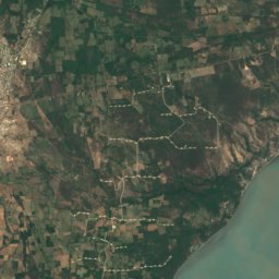
Satellite: Sentinel-2 cloudless 2016 by EOX IT Services GmbH · CC BY 4.0 · Contains modified Copernicus Sentinel data 2016
Asunción Ixtaltepec
Oaxaca · 29 km NW
30°Oct high
20wet days
42score
Around here
Juchitán de Zaragoza and around

Juchitán de Zaragoza
Oaxaca · Mexico
Jan–Feb · Decbest months
32°July high
29 maltitude
Nature
Satellite: Sentinel-2 cloudless 2016 by EOX IT Services GmbH · CC BY 4.0 · Contains modified Copernicus Sentinel data 2016
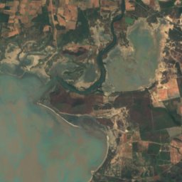
Laguna Superior
Lake
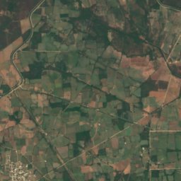

Satellite: Sentinel-2 cloudless 2016 by EOX IT Services GmbH · CC BY 4.0 · Contains modified Copernicus Sentinel data 2016
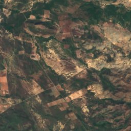
Río Verde, Oaxaca
River