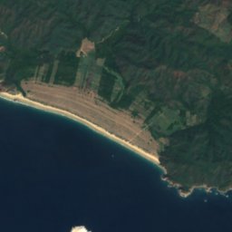
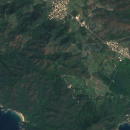
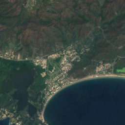
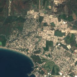
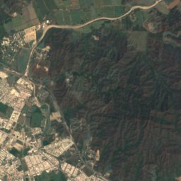
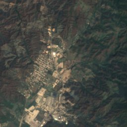












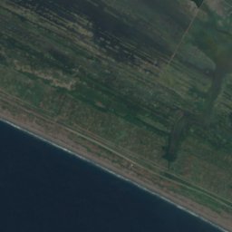








Satellite: Sentinel-2 cloudless 2016 by EOX IT Services GmbH · CC BY 4.0 · Contains modified Copernicus Sentinel data 2016
BeachManzanillo, Colima
Playa Campos
BeachBest Jan · Mar–Apr
Elevation–above sea level
Sea, warmest30°CAugust
Nearest townManzanillo12 km
19.01° N, 104.30° WUTC−6 · Central Standard Time
When to goManzanillo · weather score
Best timeJan · Mar–Apr
October: high / low33° / 25°
Beach
Playa Campos in brief
Playa Campos is a beach in Manzanillo, Colima, Mexico.
The nearest town in the atlas is Manzanillo, 12 km to the N, where the weather is best in January, March and April.
The sea is warmest in August, at about 30°C.
Weather nearby now
Forecast for Manzanillo30°
Sunny now
Today
22 Oct
34°
26°
1 mm
Fri
23 Oct
33°
25°
6 mm
Sat
24 Oct
33°
26°
3 mm
Sun
25 Oct
32°
24°
1 mm
Mon
26 Oct
33°
25°
Model run 00:00 UTCRefreshed several times a day
Sea and air through the year
Sea surface temperature off the coast and the average daily high in Manzanillo, month by month.Jan27°31°
Feb26°31°
Mar25°31°
Apr25°31°
May27°32°
Jun28°33°
Jul30°34°
Aug30°33°
Sep30°32°
Oct30°33°
Nov29°32°
Dec28°31°
seaair, daily high
Map
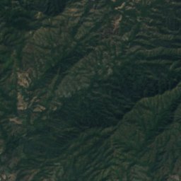
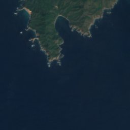
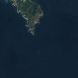
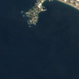
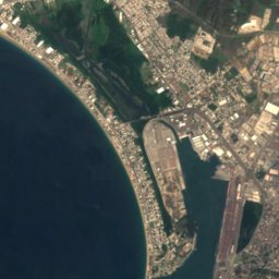
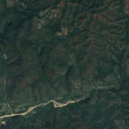
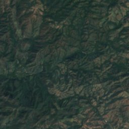
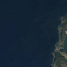
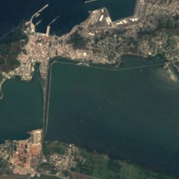
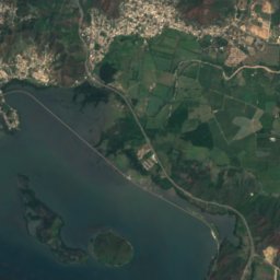
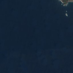
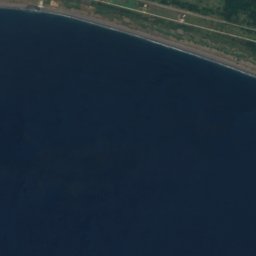
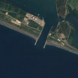
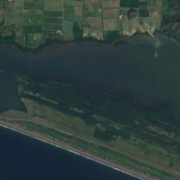
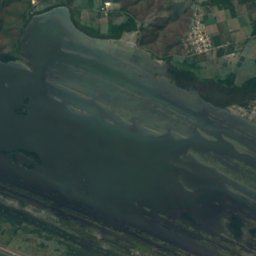
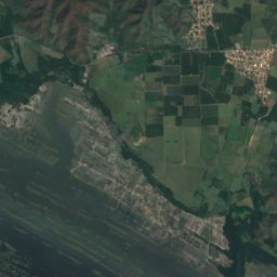
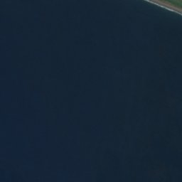
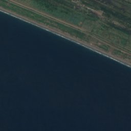
Playa Campos from above
Nature nearbyAll of Mexico
Satellite: Sentinel-2 cloudless 2016 by EOX IT Services GmbH · CC BY 4.0 · Contains modified Copernicus Sentinel data 2016
Satellite: Sentinel-2 cloudless 2016 by EOX IT Services GmbH · CC BY 4.0 · Contains modified Copernicus Sentinel data 2016
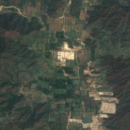
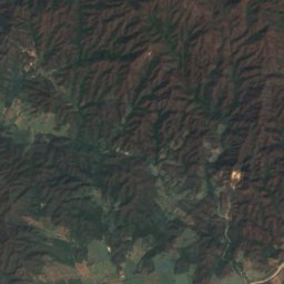
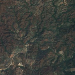
Satellite: Sentinel-2 cloudless 2016 by EOX IT Services GmbH · CC BY 4.0 · Contains modified Copernicus Sentinel data 2016
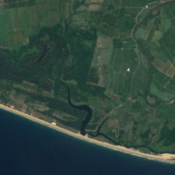
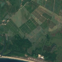
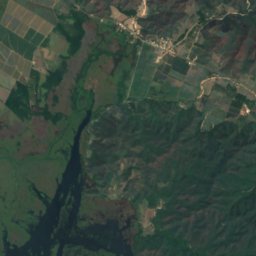
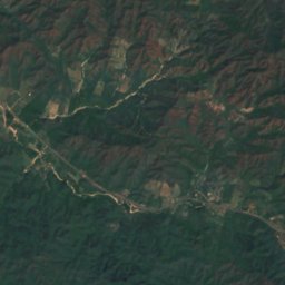

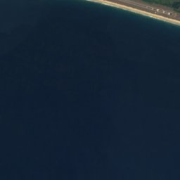
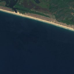



Satellite: Sentinel-2 cloudless 2016 by EOX IT Services GmbH · CC BY 4.0 · Contains modified Copernicus Sentinel data 2016
Stay nearby
Towns close by

Photo: Montaje realizado por User:Wovedro. · CC BY-SA 4.0 · Wikimedia CommonsReport this photo · linked, not stored
Manzanillo
Colima · 12 km N
33°Oct high
14wet days
35score

Photo: Yaomautzin Ohtokani Olvera Lara · CC BY-SA 3.0 · Wikimedia CommonsReport this photo · linked, not stored
Cuyutlán
Colima · 26 km SE
33°Oct high
14wet days
33score
Around here
Manzanillo and around
Photo: Montaje realizado por User:Wovedro. · CC BY-SA 4.0 · Wikimedia CommonsReport this photo · linked, not stored
Manzanillo
Colima · Mexico
Jan · Mar–Aprbest months
34°July high
12 maltitude
Nature
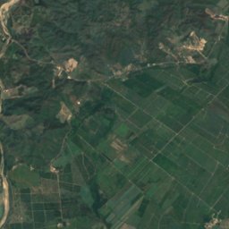
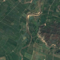
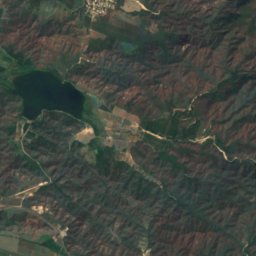


Satellite: Sentinel-2 cloudless 2016 by EOX IT Services GmbH · CC BY 4.0 · Contains modified Copernicus Sentinel data 2016
Cueva El Pirata
Cave
Satellite: Sentinel-2 cloudless 2016 by EOX IT Services GmbH · CC BY 4.0 · Contains modified Copernicus Sentinel data 2016
Playa Azul, Colima
Beach
Satellite: Sentinel-2 cloudless 2016 by EOX IT Services GmbH · CC BY 4.0 · Contains modified Copernicus Sentinel data 2016
Playa Las Brisas, Colima
Beach