




















































Skip to content
Destinations
Weather & climate
Nature
Outdoors
Culture
Events
Sky & live
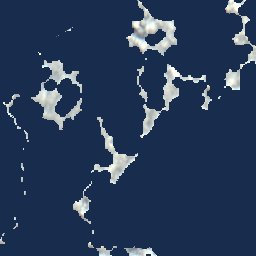
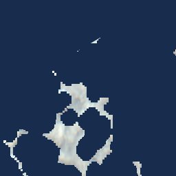
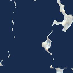
Satellite: Sentinel-2 cloudless 2016 by EOX IT Services GmbH · CC BY 4.0 · Contains modified Copernicus Sentinel data 2016
Namu Atoll
Photo: NASA · Public domain · Wikimedia Commons
Namu AtollReport this photo · linked, not stored
Namu Atoll
IslandLoen, Namu Atoll

Tokenraito

IslandBest Jan–Mar
Elevation–above sea level
Area–surface
Nearest townLoen29 km
8.02° N, 168.17° EUTC+12 · Marshall Islands Time
When to goLoen · weather score
JanFebMarAprMayJunJulAugSepOctNovDec43October
Best timeJan–Mar
October: high / low28° / 26°
Island

Tokenraito in brief

Tokenraito is an island in Loen, Namu Atoll, Marshall Islands.

The nearest town in the atlas is Loen, 29 km to the S, where the weather is best in January, February and March.

Loen: weather and travel guide

Weather nearby now

Forecast for Loen
28°
Showers now
Wind36 km/h
Humidity84%
Cloud cover62%
Today
23 Oct
29°
27°
9 mm
Sat
24 Oct
29°
27°
14 mm
Sun
25 Oct
29°
27°
6 mm
Mon
26 Oct
29°
28°
1 mm
Tue
27 Oct
29°
28°
1 mm

Model run 00:00 UTCRefreshed several times a day

When to go

The best months around Tokenraito

Climate of Loen

Month score in Loen

Comfort, dry days and sunshine · out of 100
55
Jan
54
Feb
52
Mar
50
Apr
46
May
45
Jun
44
Jul
45
Aug
44
Sep
43
Oct
45
Nov
49
Dec
Map

Tokenraito from above

Photo: NASA · Public domain · Wikimedia CommonsReport this photo · linked, not stored
Namu AtollIsland3.8 kmSNamu Atoll
Satellite: Sentinel-2 cloudless 2016 by EOX IT Services GmbH · CC BY 4.0 · Contains modified Copernicus Sentinel data 2016
EnujetIsland15 kmSEEnujet
Satellite: Sentinel-2 cloudless 2016 by EOX IT Services GmbH · CC BY 4.0 · Contains modified Copernicus Sentinel data 2016
EnymakIsland19 kmSEEnymak
Around here

Loen and around

Satellite: Sentinel-2 cloudless 2016 by EOX IT Services GmbH · CC BY 4.0 · Contains modified Copernicus Sentinel data 2016

Loen

Namu Atoll · Marshall Islands
Jan–Marbest months
28°July high
13 maltitude
Loen

Nature

Satellite: Sentinel-2 cloudless 2016 by EOX IT Services GmbH · CC BY 4.0 · Contains modified Copernicus Sentinel data 2016
2.0 km NW

Lukoj

Island
Lukoj
Satellite: Sentinel-2 cloudless 2016 by EOX IT Services GmbH · CC BY 4.0 · Contains modified Copernicus Sentinel data 2016
3.1 km NW

Emer

Island
Emer
Satellite: Sentinel-2 cloudless 2016 by EOX IT Services GmbH · CC BY 4.0 · Contains modified Copernicus Sentinel data 2016
3.7 km E

Lugaren

Island
Lugaren