Skip to content
Destinations
Weather & climate
Nature
Outdoors
Culture
Events
Sky & live
Višakis
Photo: Vilensija · CC BY-SA 3.0 · Wikimedia Commons
VišakisReport this photo · linked, not stored
Didysis
Photo: Vilensija · CC BY-SA 3.0 · Wikimedia Commons
DidysisReport this photo · linked, not stored
Didysis
Dievogala
Photo: Vilensija · CC BY-SA 3.0 · Wikimedia Commons
DievogalaReport this photo · linked, not stored
Dievogala
Karklė
Photo: Vilensija · CC BY-SA 3.0 · Wikimedia Commons
KarklėReport this photo · linked, not stored
Karklė
Liekė
Photo: SUJIRENas · CC BY-SA 4.0 · Wikimedia Commons
LiekėReport this photo · linked, not stored
Liekė
RiverEžerėlis, Kaunas

Višakis

RiverBest May · Jul · Sep
Elevation–above sea level
Length45 kmsource to mouth
Nearest townEžerėlis4.5 km
54.92° N, 23.58° EUTC+2 · Eastern European Standard Time
When to goEžerėlis · weather score
JanFebMarAprMayJunJulAugSepOctNovDec26October
Best timeMay · Jul · Sep
October: high / low11° / 4°
River

Višakis in brief

Višakis is a river in Ežerėlis, Kaunas, Lithuania.

The nearest town is Ežerėlis, 4.5 km to the S, where the weather is best in May, July and September.

Višakis is 45 km long.

Ežerėlis: weather and travel guide

Weather nearby now

Forecast for Ežerėlis
10°
Rain now
Wind18 km/h
Humidity92%
Cloud cover100%
Today
25 Oct
13°
9°
1 mm
Mon
26 Oct
11°
5°
4 mm
Tue
27 Oct
13°
3°
Wed
28 Oct
11°
2°
Thu
29 Oct
10°
6°
2 mm

Model run 12:00 UTCRefreshed several times a day

The course of the river

As mapped in OpenStreetMap, with the towns along its banks.
sourcemouth (or where the mapped line leaves the country)
When to go

The best months around Višakis

Climate of Ežerėlis

Month score in Ežerėlis

Comfort, dry days and sunshine · out of 100
13
Jan
19
Feb
23
Mar
46
Apr
68
May
64
Jun
65
Jul
65
Aug
70
Sep
26
Oct
13
Nov
11
Dec
Map

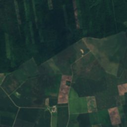
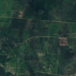
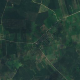
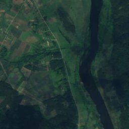
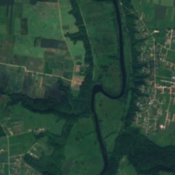
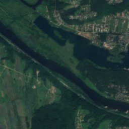
Višakis from above

Nature nearbyAll of Lithuania
Photo: Vilensija · CC BY-SA 3.0 · Wikimedia CommonsReport this photo · linked, not stored
DidysisLake6.6 kmSEDidysis
Photo: Vilensija · CC BY-SA 3.0 · Wikimedia CommonsReport this photo · linked, not stored
DievogalaRiver6.9 kmEDievogala
Photo: Vilensija · CC BY-SA 3.0 · Wikimedia CommonsReport this photo · linked, not stored
KarklėRiver8.8 kmNKarklė
Photo: SUJIRENas · CC BY-SA 4.0 · Wikimedia CommonsReport this photo · linked, not stored
LiekėRiver8.9 kmNLiekė
Photo: Vilensija · CC BY-SA 3.0 · Wikimedia CommonsReport this photo · linked, not stored
Gaižėnų tvenkinysLake10 kmEGaižėnų tvenkinys
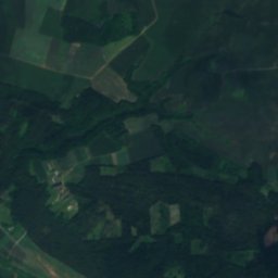
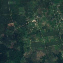
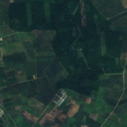
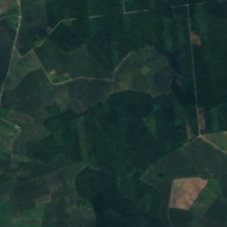
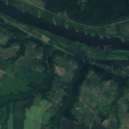
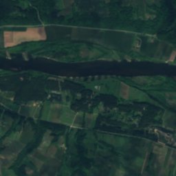
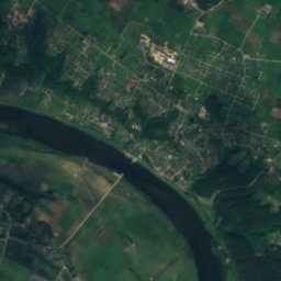
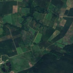
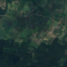
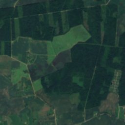
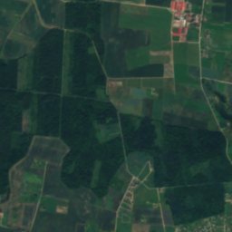
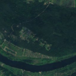
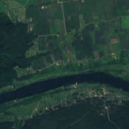
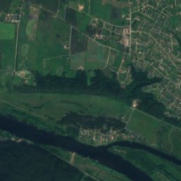
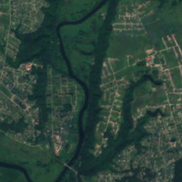
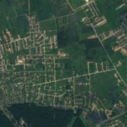
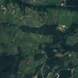
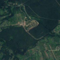
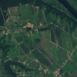
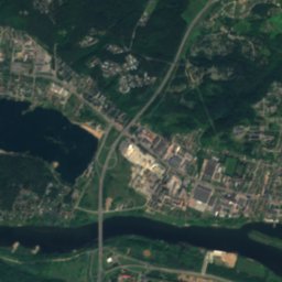
Satellite: Sentinel-2 cloudless 2016 by EOX IT Services GmbH · CC BY 4.0 · Contains modified Copernicus Sentinel data 2016
BižinysLake11 kmNBižinys
Stay nearby

Towns close by

Ežerėlis
Photo: Vilensija · CC BY-SA 3.0 · Wikimedia CommonsReport this photo · linked, not stored

Ežerėlis

Kaunas · 4.5 km S
11°Oct high
13wet days
26score
Ežerėlis
Kulautuva
Photo: Juliux · CC BY-SA 4.0 · Wikimedia CommonsReport this photo · linked, not stored

Kulautuva

Kaunas · 4.6 km NE
11°Oct high
13wet days
26score
Kulautuva
Lekėčiai
Photo: Vilensija · CC BY-SA 3.0 · Wikimedia CommonsReport this photo · linked, not stored

Lekėčiai

Marijampolė County · 8.5 km NW
11°Oct high
13wet days
26score
Lekėčiai
Raudondvaris
Photo: Aidas U. · CC BY 3.0 · Wikimedia CommonsReport this photo · linked, not stored

Raudondvaris

Kaunas · 12 km E
11°Oct high
13wet days
25score
Raudondvaris
Around here

Ežerėlis and around

Ežerėlis
Photo: Vilensija · CC BY-SA 3.0 · Wikimedia CommonsReport this photo · linked, not stored

Ežerėlis

Kaunas · Lithuania
May · Jul · Sepbest months
24°July high
72 maltitude
Ežerėlis

Nature

Pilvė
Photo: Vilensija · CC BY-SA 3.0 · Wikimedia CommonsReport this photo · linked, not stored
10 km SE

Pilvė

River
Pilvė
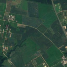
Satellite: Sentinel-2 cloudless 2016 by EOX IT Services GmbH · CC BY 4.0 · Contains modified Copernicus Sentinel data 2016
11 km NE

Nevėžis

River
Nevėžis
Gaižėnų tvenkinys
Photo: Vilensija · CC BY-SA 3.0 · Wikimedia CommonsReport this photo · linked, not stored
8.8 km E

Gaižėnų tvenkinys

Lake · 68 m
Gaižėnų tvenkinys