Skip to content
Destinations
Weather & climate
Nature
Outdoors
Culture
Events
Sky & live
Vainius
Photo: RaDonas aka. Donatas Vertelka · CC BY-SA 4.0 · Wikimedia Commons
VainiusReport this photo · linked, not stored
Svaitūtas
Photo: Flettuce · CC BY-SA 4.0 · Wikimedia Commons
SvaitūtasReport this photo · linked, not stored
Svaitūtas
LakeAntalieptė, Utena

Vainius

LakeBest May · Jul · Sep
Elevation–above sea level
Area–surface
Nearest townAntalieptė8.3 km
55.73° N, 25.85° EUTC+2 · Eastern European Standard Time
When to goAntalieptė · weather score
JanFebMarAprMayJunJulAugSepOctNovDec16October
Best timeMay · Jul · Sep
October: high / low10° / 3°
Lake

Vainius in brief

Vainius is a lake in Antalieptė, Utena, Lithuania.

The nearest town is Antalieptė, 8.3 km to the S, where the weather is best in May, July and September.

Antalieptė: weather and travel guide

Weather nearby now

Forecast for Antalieptė
5°
Cloudy now
Wind10 km/h
Humidity99%
Cloud cover100%
Today
31 Oct
10°
4°
1 mm
Sun
1 Nov
8°
5°
Mon
2 Nov
7°
5°
Tue
3 Nov
8°
1°
Wed
4 Nov
6°
0°

Model run 12:00 UTCRefreshed several times a day

When to go

The best months around Vainius

Climate of Antalieptė

Month score in Antalieptė

Comfort, dry days and sunshine · out of 100
10
Jan
16
Feb
25
Mar
34
Apr
67
May
64
Jun
65
Jul
65
Aug
68
Sep
16
Oct
10
Nov
9
Dec
Map

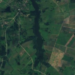
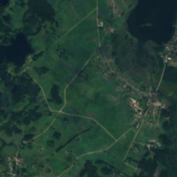
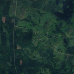
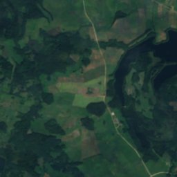
Vainius from above

Nature nearbyAll of Lithuania
Satellite: Sentinel-2 cloudless 2016 by EOX IT Services GmbH · CC BY 4.0 · Contains modified Copernicus Sentinel data 2016
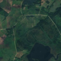
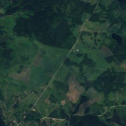
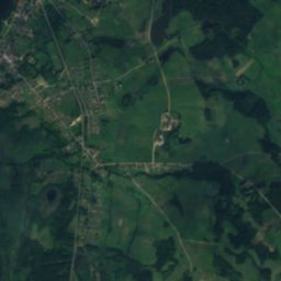
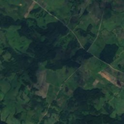
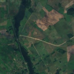
PlavysLake3.3 kmWPlavys
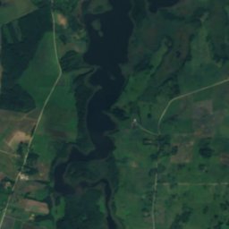
Satellite: Sentinel-2 cloudless 2016 by EOX IT Services GmbH · CC BY 4.0 · Contains modified Copernicus Sentinel data 2016
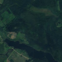
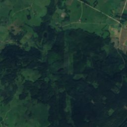
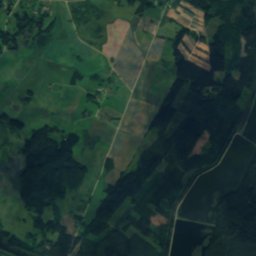
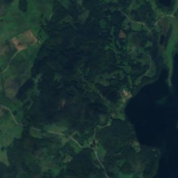
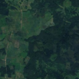
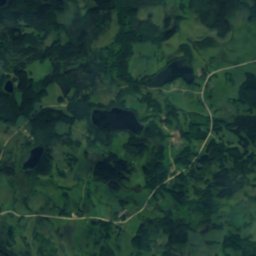
Blinkų LakeLake3.4 kmEBlinkų Lake
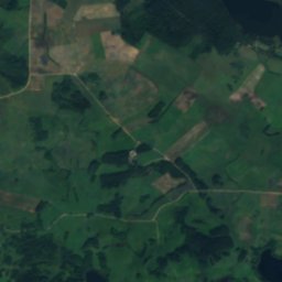
Satellite: Sentinel-2 cloudless 2016 by EOX IT Services GmbH · CC BY 4.0 · Contains modified Copernicus Sentinel data 2016
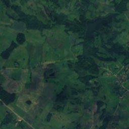
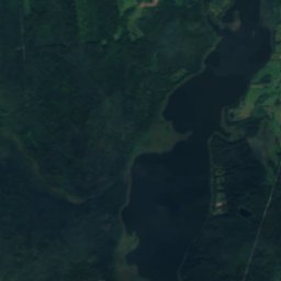
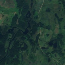
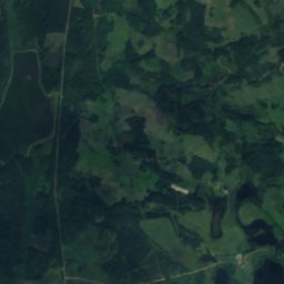
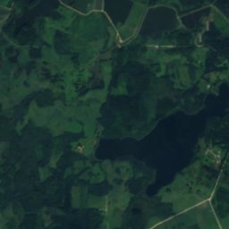
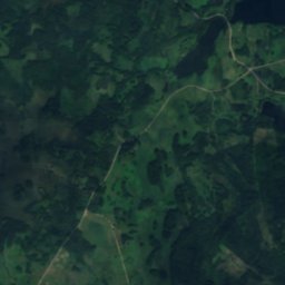
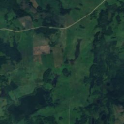
PlavelisLake3.9 kmNWPlavelis
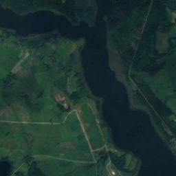
Satellite: Sentinel-2 cloudless 2016 by EOX IT Services GmbH · CC BY 4.0 · Contains modified Copernicus Sentinel data 2016
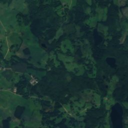
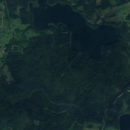
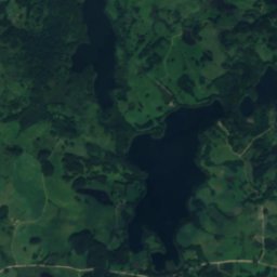
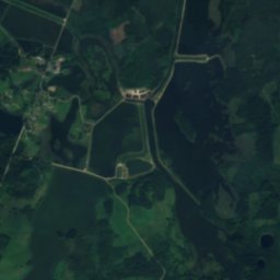
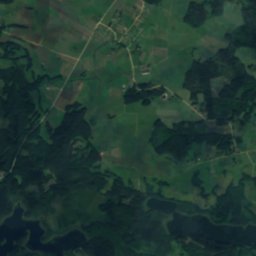
Lukštinis (Zarasų r., Antalieptės sen., Butkelių km.)Lake3.9 kmSELukštinis (Zarasų r., Antalieptės sen., Butkelių km.)
Satellite: Sentinel-2 cloudless 2016 by EOX IT Services GmbH · CC BY 4.0 · Contains modified Copernicus Sentinel data 2016
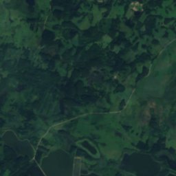
BalnysLake4.0 kmNEBalnys
Photo: Flettuce · CC BY-SA 4.0 · Wikimedia CommonsReport this photo · linked, not stored
SvaitūtasLake4.2 kmSESvaitūtas
Stay nearby

Towns close by

Antalieptė
Photo: Tired time · Public domain · Wikimedia CommonsReport this photo · linked, not stored

Antalieptė

Utena · 8.3 km S
10°Oct high
15wet days
16score
Antalieptė
Jūžintai
Photo: Šarūnas Šimkus · Public domain · Wikimedia CommonsReport this photo · linked, not stored

Jūžintai

Panevėžys · 12 km NW
10°Oct high
15wet days
17score
Jūžintai
Daugailiai
Photo: CD · CC BY 3.0 · Wikimedia CommonsReport this photo · linked, not stored

Daugailiai

Utena · 16 km S
10°Oct high
15wet days
16score
Daugailiai
Užpaliai
Photo: Juste · CC BY-SA 3.0 · Wikimedia CommonsReport this photo · linked, not stored

Užpaliai

Utena · 20 km SW
10°Oct high
15wet days
18score
Užpaliai
Around here

Antalieptė and around

Antalieptė
Photo: Tired time · Public domain · Wikimedia CommonsReport this photo · linked, not stored

Antalieptė

Utena · Lithuania
May · Jul · Sepbest months
24°July high
120 maltitude
Antalieptė

Nature

Indrajai, Daugailiai
Photo: Tired time · Public domain · Wikimedia CommonsReport this photo · linked, not stored
7.2 km SW

Indrajai, Daugailiai

Lake · 134 m
Indrajai, Daugailiai
Vencavas
Photo: VietovesLt · CC BY 3.0 · Wikimedia CommonsReport this photo · linked, not stored
8.7 km NE

Vencavas

Lake
Vencavas
Kumpuolis, Utena
Photo: Powermelon · CC0 · Wikimedia CommonsReport this photo · linked, not stored
10 km E

Kumpuolis, Utena

Lake · 157 m
Kumpuolis, Utena