Skip to content
Destinations
Weather & climate
Nature
Outdoors
Culture
Events
Sky & live
Gauja
Photo: Šarūnas Šimkus · Public domain · Wikimedia Commons
GaujaReport this photo · linked, not stored
Šalčia
Photo: Algonkins at Latvian Wikipedia · Public domain · Wikimedia Commons
ŠalčiaReport this photo · linked, not stored
Šalčia
Aĺšanka, Oshmyany
Photo: Валерий НИКИФОРОВ (http://fgb.by/viewtopic.php?p=69208#69208) · CC BY-SA 3.0 · Wikimedia Commons
Aĺšanka, OshmyanyReport this photo · linked, not stored
Aĺšanka, Oshmyany
Aukštojas Hill
Photo: Resutas · Public domain · Wikimedia Commons
Aukštojas HillReport this photo · linked, not stored
Aukštojas Hill
Juozapinė Hill
Photo: Resutas · Public domain · Wikimedia Commons
Juozapinė HillReport this photo · linked, not stored
Juozapinė Hill
RiverŠalčininkai, Vilnius

Gauja

RiverBest Jul–Sep
Elevation–above sea level
Length94 kmsource to mouth
Nearest townŠalčininkai13 km
54.32° N, 25.58° EUTC+3 · Eastern European Summer Time
When to goŠalčininkai · weather score
JanFebMarAprMayJunJulAugSepOctNovDec18October
Best timeJul–Sep
October: high / low10° / 4°
River

Gauja in brief

Gauja is a river in Šalčininkai, Vilnius, Lithuania.

The nearest town in the atlas is Šalčininkai, 13 km to the W, where the weather is best in July, August and September.

Gauja is 94 km long.

Šalčininkai: weather and travel guide

Weather nearby now

Forecast for Šalčininkai
13°
Cloudy now
Wind18 km/h
Humidity78%
Cloud cover72%
Today
22 Oct
15°
11°
Fri
23 Oct
13°
7°
5 mm
Sat
24 Oct
14°
4°
Sun
25 Oct
14°
4°
Mon
26 Oct
11°
7°
6 mm

Model run 00:00 UTCRefreshed several times a day

The course of the river

As mapped in OpenStreetMap, with the towns of the atlas along its banks.
12
  1. 1Lipniški149 m
  2. 2Subotniki147 m
sourcemouth (or where the mapped line leaves the country)
When to go

The best months around Gauja

Climate of Šalčininkai

Month score in Šalčininkai

Comfort, dry days and sunshine · out of 100
9
Jan
14
Feb
27
Mar
39
Apr
64
May
64
Jun
65
Jul
65
Aug
71
Sep
18
Oct
11
Nov
8
Dec
Map

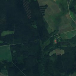
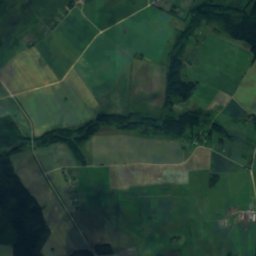
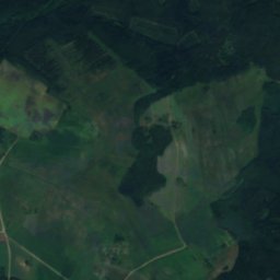
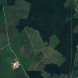
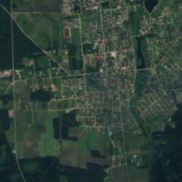
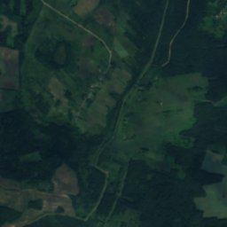
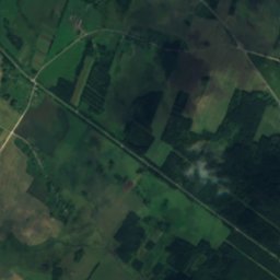
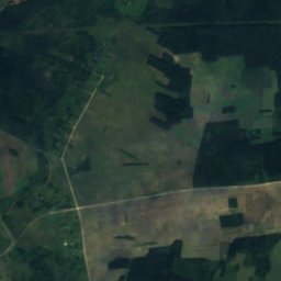
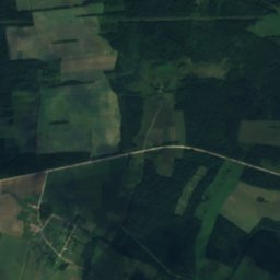
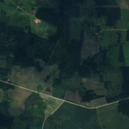
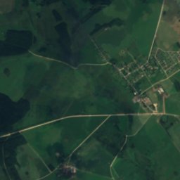
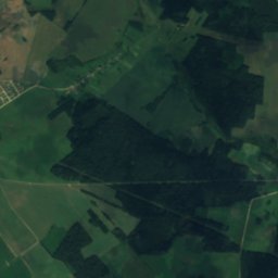
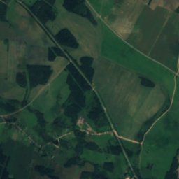
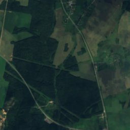
Gauja from above

Nature nearbyAll of Lithuania
Photo: Algonkins at Latvian Wikipedia · Public domain · Wikimedia CommonsReport this photo · linked, not stored
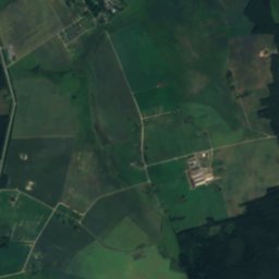
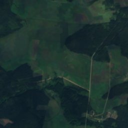
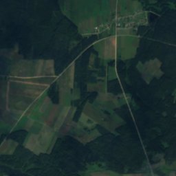
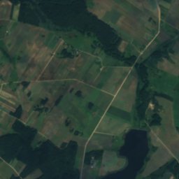
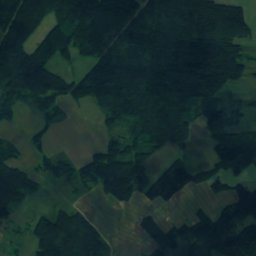
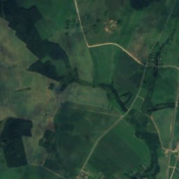
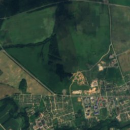
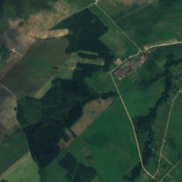
ŠalčiaRiver12 kmWŠalčia
Satellite: Sentinel-2 cloudless 2016 by EOX IT Services GmbH · CC BY 4.0 · Contains modified Copernicus Sentinel data 2016
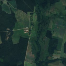
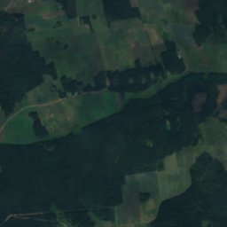
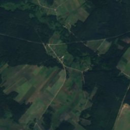
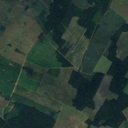
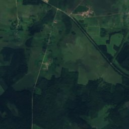
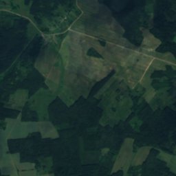
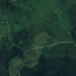
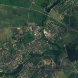
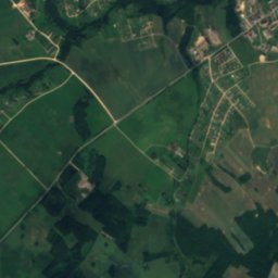
VojšalkaRiver13 kmSWVojšalka
Satellite: Sentinel-2 cloudless 2016 by EOX IT Services GmbH · CC BY 4.0 · Contains modified Copernicus Sentinel data 2016
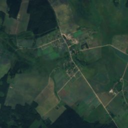
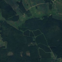
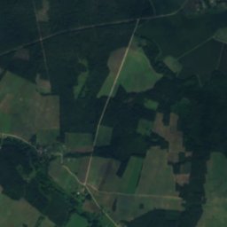
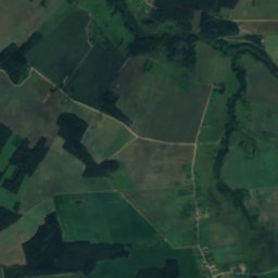
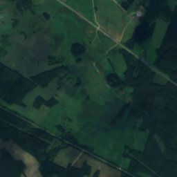
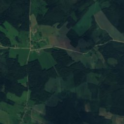
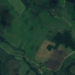
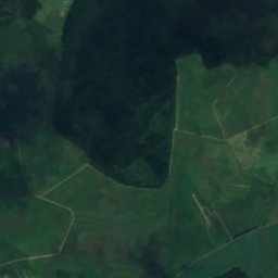
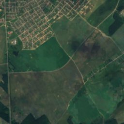
BalocinkaRiver19 kmWBalocinka
Satellite: Sentinel-2 cloudless 2016 by EOX IT Services GmbH · CC BY 4.0 · Contains modified Copernicus Sentinel data 2016
Ašmianka, Muravana-AshmyankaRiver19 kmNEAšmianka, Muravana-Ashmyanka
Photo: Валерий НИКИФОРОВ (http://fgb.by/viewtopic.php?p=69208#69208) · CC BY-SA 3.0 · Wikimedia CommonsReport this photo · linked, not stored
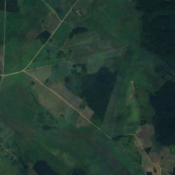
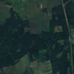
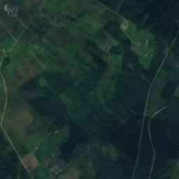
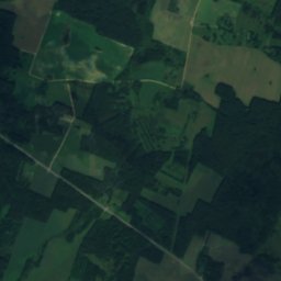
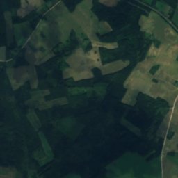
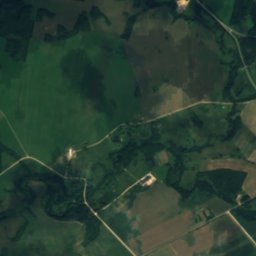
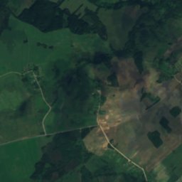
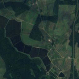
Aĺšanka, OshmyanyRiver22 kmEAĺšanka, Oshmyany
Satellite: Sentinel-2 cloudless 2016 by EOX IT Services GmbH · CC BY 4.0 · Contains modified Copernicus Sentinel data 2016
HaružankaRiver23 kmNEHaružanka
Photo: Resutas · Public domain · Wikimedia CommonsReport this photo · linked, not stored
Aukštojas Hill23 km N294 mJuly 23°Aukštojas Hill
Photo: Resutas · Public domain · Wikimedia CommonsReport this photo · linked, not stored
Juozapinė Hill23 km N294 mJuly 23°Juozapinė Hill
Stay nearby

Towns close by

Šalčininkai
Photo: Šarūnas Šimkus · Public domain · Wikimedia CommonsReport this photo · linked, not stored

Šalčininkai

Vilnius · 13 km W
10°Oct high
15wet days
18score
Šalčininkai
Dieveniškės
Photo: Juste · CC BY-SA 3.0 · Wikimedia CommonsReport this photo · linked, not stored

Dieveniškės

Vilnius · 15 km S
10°Oct high
12wet days
23score
Dieveniškės
Byenyakoni
Photo: QśQś · CC BY-SA 3.0 · Wikimedia CommonsReport this photo · linked, not stored

Byenyakoni

Grodnenskaya · 17 km SW
11°Oct high
15wet days
19score
Byenyakoni
Krakūnai
Photo: Šarūnas Šimkus · Public domain · Wikimedia CommonsReport this photo · linked, not stored

Krakūnai

Vilnius · 20 km S
11°Oct high
15wet days
19score
Krakūnai
Around here

Šalčininkai and around

Šalčininkai
Photo: Šarūnas Šimkus · Public domain · Wikimedia CommonsReport this photo · linked, not stored

Šalčininkai

Vilnius · Lithuania
Jul–Sepbest months
24°July high
176 maltitude
Šalčininkai

Nature

Šalčia
Photo: Algonkins at Latvian Wikipedia · Public domain · Wikimedia CommonsReport this photo · linked, not stored
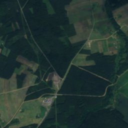
0.9 km NE

Šalčia

River
Šalčia
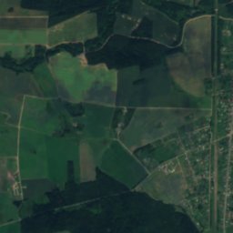
Satellite: Sentinel-2 cloudless 2016 by EOX IT Services GmbH · CC BY 4.0 · Contains modified Copernicus Sentinel data 2016
7.4 km S

Vojšalka

River
Vojšalka
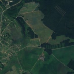
Satellite: Sentinel-2 cloudless 2016 by EOX IT Services GmbH · CC BY 4.0 · Contains modified Copernicus Sentinel data 2016
7.5 km SW

Balocinka

River
Balocinka

Mountains

Aukštojas Hill
Photo: Resutas · Public domain · Wikimedia CommonsReport this photo · linked, not stored
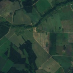
29 km NE

Aukštojas Hill

294 m · Belarusian Ridge
Aukštojas Hill
Juozapinė Hill
Photo: Resutas · Public domain · Wikimedia CommonsReport this photo · linked, not stored
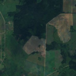
29 km NE

Juozapinė Hill

294 m
Juozapinė Hill

Heritage

Сядзібны дом
Photo: Monarchist1636 · CC BY-SA 4.0 · Wikimedia CommonsReport this photo · linked, not stored
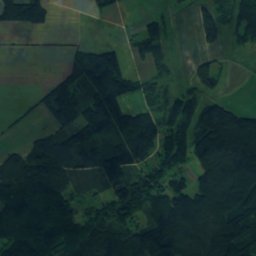
9.5 km SW

Сядзібны дом

Cultural heritage of Belarus · 1901
Сядзібны дом
Hajciuniški Castle
Photo: Petro Vlasenko · CC BY-SA 3.0 · Wikimedia CommonsReport this photo · linked, not stored
7.1 km SE

Hajciuniški Castle

Cultural heritage of Belarus
Hajciuniški Castle
Church of Saint John the Baptist in Bieniakoni
Photo: QśQś · CC BY-SA 3.0 · Wikimedia CommonsReport this photo · linked, not stored
7.1 km S

Church of Saint John the Baptist in Bieniakoni

Cultural heritage of Belarus
Church of Saint John the Baptist in Bieniakoni