Nature
Waters, ice and wild places of Libya
Lakes, waterfalls, glaciers, national parks and mountain huts, each with its location, its size and the weather of the towns around it.
Lakes1with a page
Waterfalls2with a page
National parks6with a page
Islands5with a page

Lakes
Lakes of Libya
Waterfalls
Waterfalls of Libya


National parks
National parks of Libya

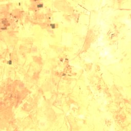
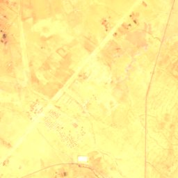
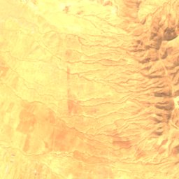
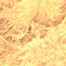
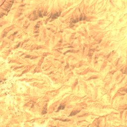
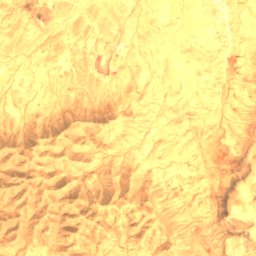
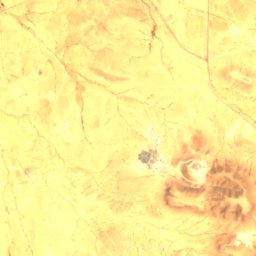
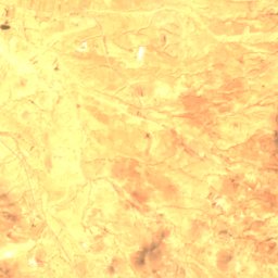
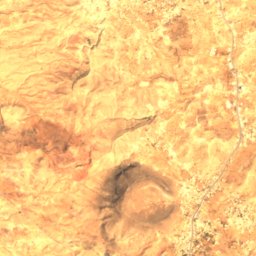
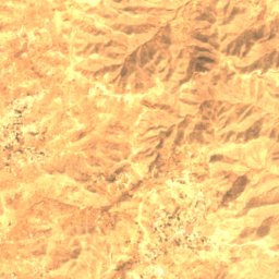
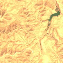
Satellite: Sentinel-2 cloudless 2016 by EOX IT Services GmbH · CC BY 4.0 · Contains modified Copernicus Sentinel data 2016
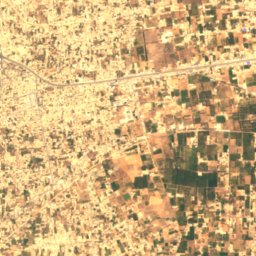
Abughilan National Park
Al Qawāsim, Jabal al Gharbi





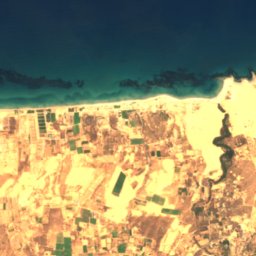
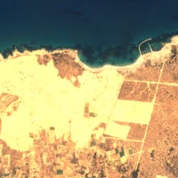
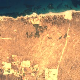
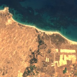
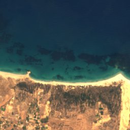
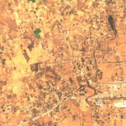
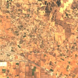
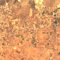
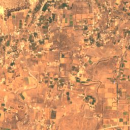
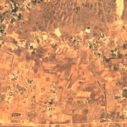
Satellite: Sentinel-2 cloudless 2016 by EOX IT Services GmbH · CC BY 4.0 · Contains modified Copernicus Sentinel data 2016
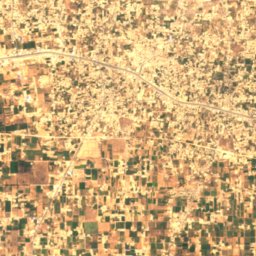
Algharabolli National Park
Qaşr al Qarabūllī, Tripoli


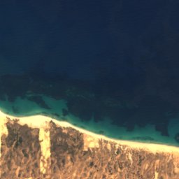
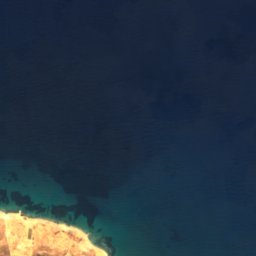
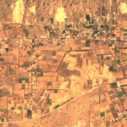
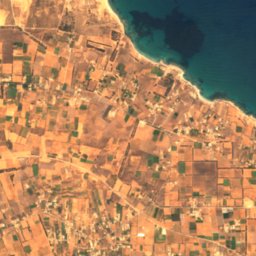
Satellite: Sentinel-2 cloudless 2016 by EOX IT Services GmbH · CC BY 4.0 · Contains modified Copernicus Sentinel data 2016
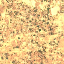
El Naggaza National Park
Qaşr al Qarabūllī, Tripoli
Satellite: Sentinel-2 cloudless 2016 by EOX IT Services GmbH · CC BY 4.0 · Contains modified Copernicus Sentinel data 2016
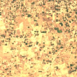
Rajma National Park
Yafran, Jabal al Gharbi
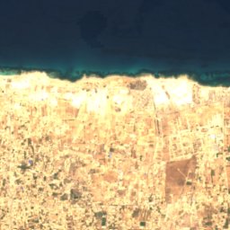
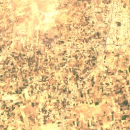
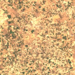
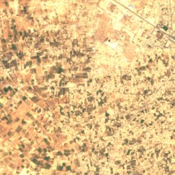
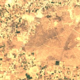
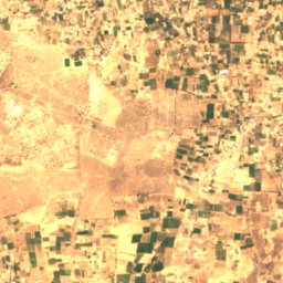
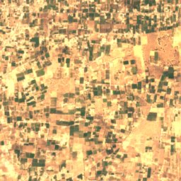
Satellite: Sentinel-2 cloudless 2016 by EOX IT Services GmbH · CC BY 4.0 · Contains modified Copernicus Sentinel data 2016
Surman National Park
Surman, Az Zawiyah
Islands
Islands of Libya
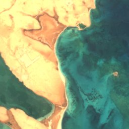




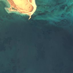
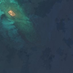
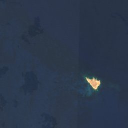






Satellite: Sentinel-2 cloudless 2016 by EOX IT Services GmbH · CC BY 4.0 · Contains modified Copernicus Sentinel data 2016
Barda‘ah
Umm ar Rizam, Darnah









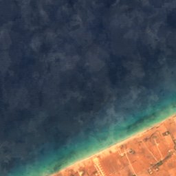

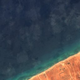
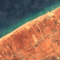
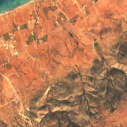
Satellite: Sentinel-2 cloudless 2016 by EOX IT Services GmbH · CC BY 4.0 · Contains modified Copernicus Sentinel data 2016
Batraba Reef
Al Marj, Al Marj






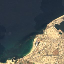
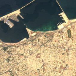
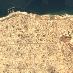
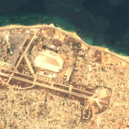
Satellite: Sentinel-2 cloudless 2016 by EOX IT Services GmbH · CC BY 4.0 · Contains modified Copernicus Sentinel data 2016
Kaliyusha Reef
Tripoli, Tripoli










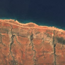
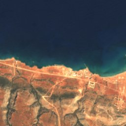
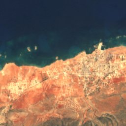
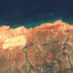
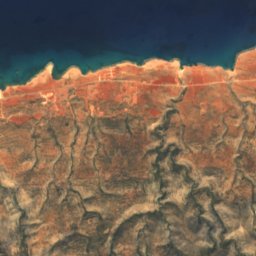
Satellite: Sentinel-2 cloudless 2016 by EOX IT Services GmbH · CC BY 4.0 · Contains modified Copernicus Sentinel data 2016
La Seignelay Shoal
Apollonia, Al Jabal al Akhdar



Satellite: Sentinel-2 cloudless 2016 by EOX IT Services GmbH · CC BY 4.0 · Contains modified Copernicus Sentinel data 2016
Ra's az Zūr Reef
Tripoli, Tripoli
Caves
Caves of Libya

Photo: Van Neer W, Alhaique F, Wouters W, Dierickx K, Gala M, Goffette Q, et al. · CC BY 4.0 · Wikimedia CommonsReport this photo · linked, not stored
Takarkori
Ghat, Ghat


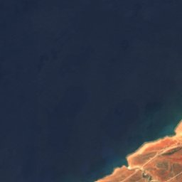
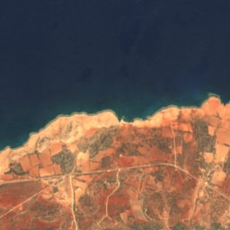
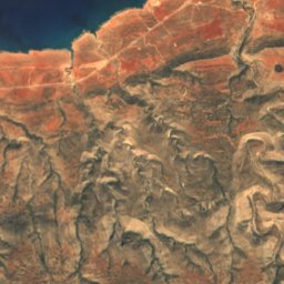
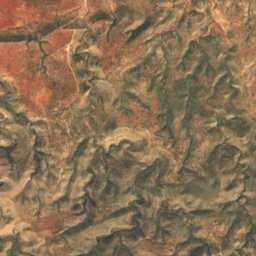
Satellite: Sentinel-2 cloudless 2016 by EOX IT Services GmbH · CC BY 4.0 · Contains modified Copernicus Sentinel data 2016
Haua Fteah
Apollonia, Al Jabal al Akhdar
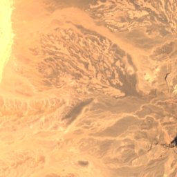
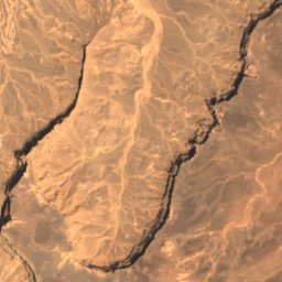
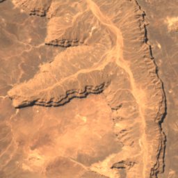
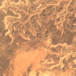
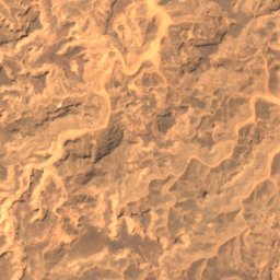
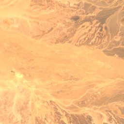
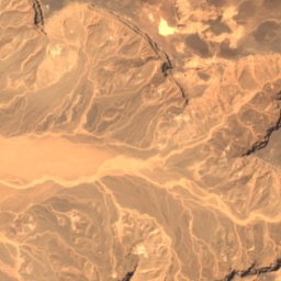
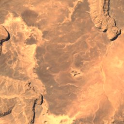
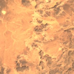
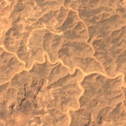
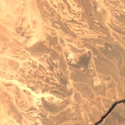
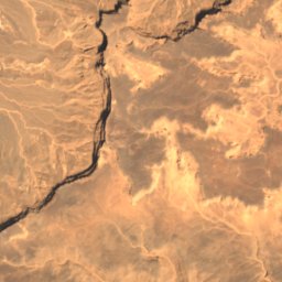
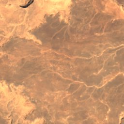
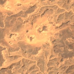
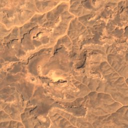
Satellite: Sentinel-2 cloudless 2016 by EOX IT Services GmbH · CC BY 4.0 · Contains modified Copernicus Sentinel data 2016
Uan Muhuggiag
Ghat, Ghat




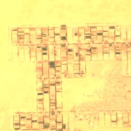
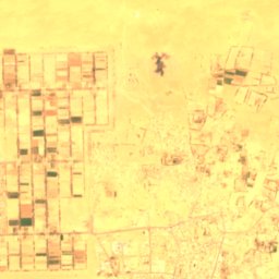
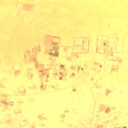
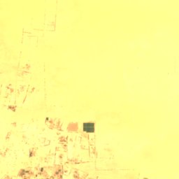
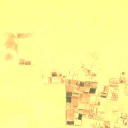
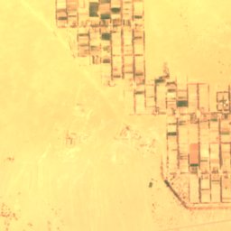
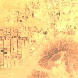
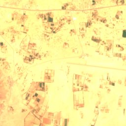
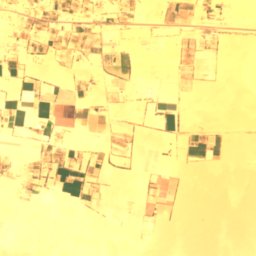
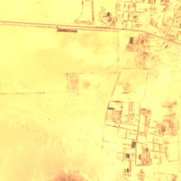
Satellite: Sentinel-2 cloudless 2016 by EOX IT Services GmbH · CC BY 4.0 · Contains modified Copernicus Sentinel data 2016
Ad Disah
Ubari, Wadi al Hayat
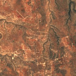
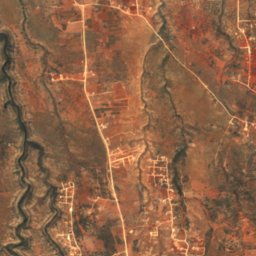
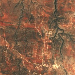
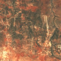
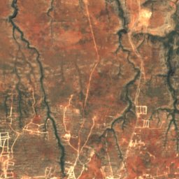
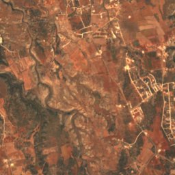
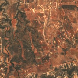
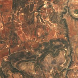
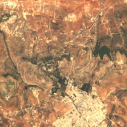
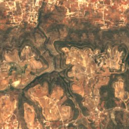
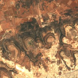
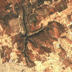
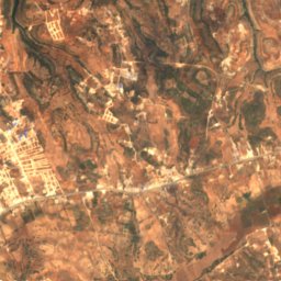
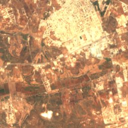
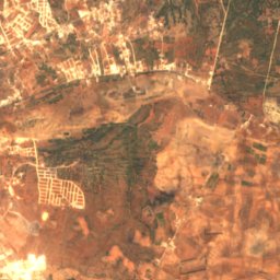
Satellite: Sentinel-2 cloudless 2016 by EOX IT Services GmbH · CC BY 4.0 · Contains modified Copernicus Sentinel data 2016
Cave of the Nymphs, Cyrene
Shahhat, Al Jabal al Akhdar
Satellite: Sentinel-2 cloudless 2016 by EOX IT Services GmbH · CC BY 4.0 · Contains modified Copernicus Sentinel data 2016
Grotto of the Priests, Cyrene
Shahhat, Al Jabal al Akhdar
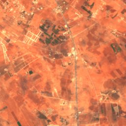
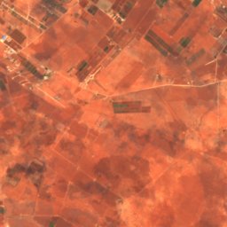
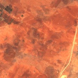
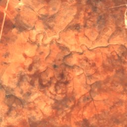
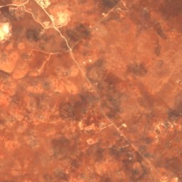
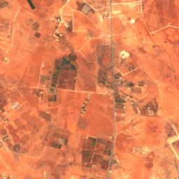
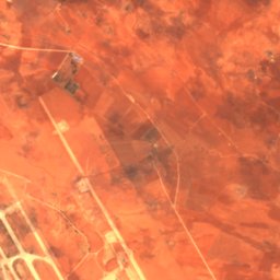
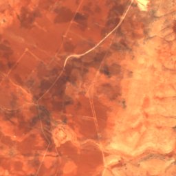
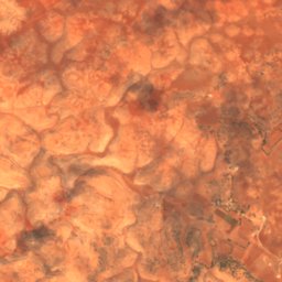
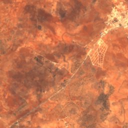
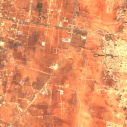
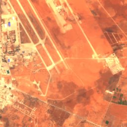
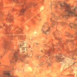
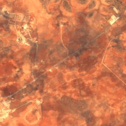
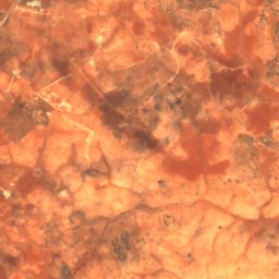
Satellite: Sentinel-2 cloudless 2016 by EOX IT Services GmbH · CC BY 4.0 · Contains modified Copernicus Sentinel data 2016
Haqfat at-Tayrah
Benghazi, Banghazi
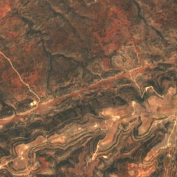
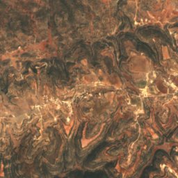
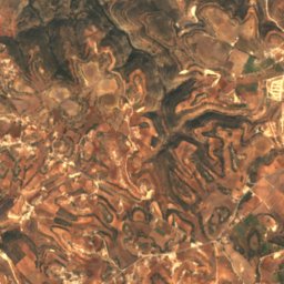
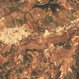
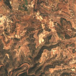
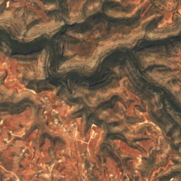
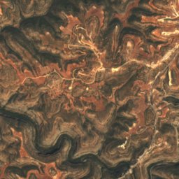
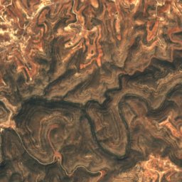
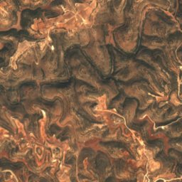
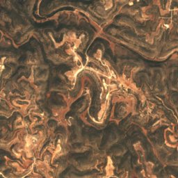
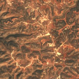
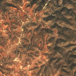
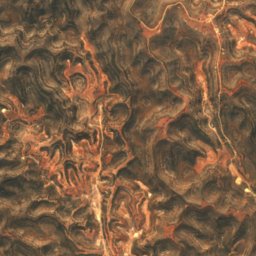
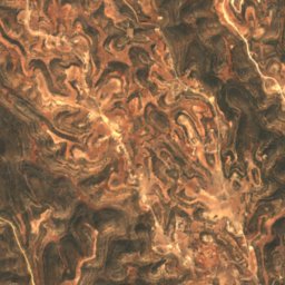
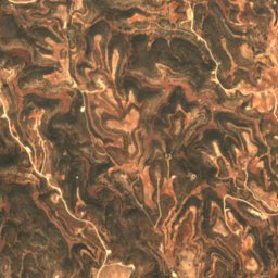
Satellite: Sentinel-2 cloudless 2016 by EOX IT Services GmbH · CC BY 4.0 · Contains modified Copernicus Sentinel data 2016
Kaf al-Khazin
Al Bayda, Al Jabal al Akhdar
Satellite: Sentinel-2 cloudless 2016 by EOX IT Services GmbH · CC BY 4.0 · Contains modified Copernicus Sentinel data 2016
Kaf al-Kibir
Al Bayda, Al Jabal al Akhdar
Rivers


