Nature
Waters, ice and wild places of Lebanon
Lakes, waterfalls, glaciers, national parks and mountain huts, each with its location, its size and the weather of the towns around it.
Lakes1with a page
Waterfalls1with a page
Beaches1with a page
Islands6with a page

Photo: Elie plus at English Wikipedia · CC BY-SA 3.0 · Wikimedia CommonsReport this photo · linked, not stored
Lakes
Lakes of Lebanon
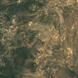
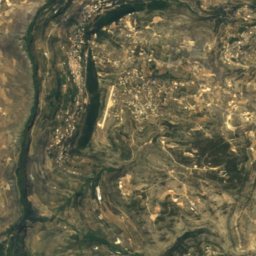
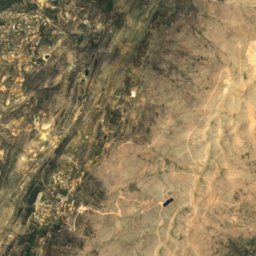
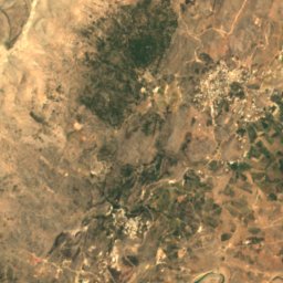
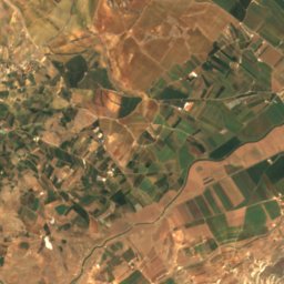
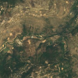
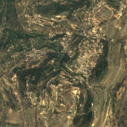
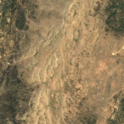
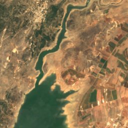
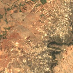
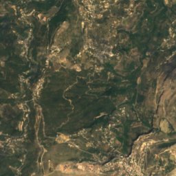
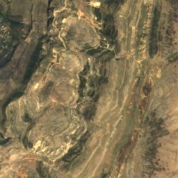
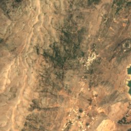
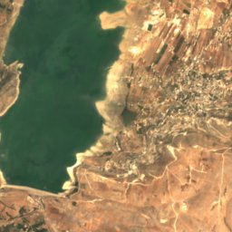
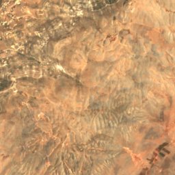
Satellite: Sentinel-2 cloudless 2016 by EOX IT Services GmbH · CC BY 4.0 · Contains modified Copernicus Sentinel data 2016
Lake Qaraoun
Aitanite, Bekaa
5.5 km²
Waterfalls
Waterfalls of Lebanon

Photo: Elie plus at English Wikipedia · CC BY-SA 3.0 · Wikimedia CommonsReport this photo · linked, not stored
Baatara gorge waterfall
Qartaba, Mount Lebanon
225 m drop
Beaches
Beaches of Lebanon



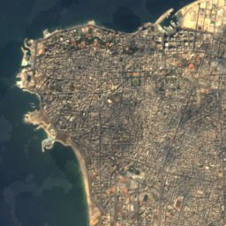
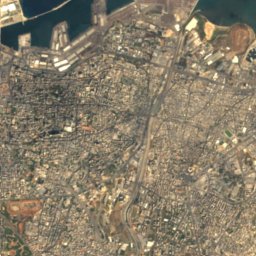



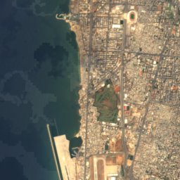
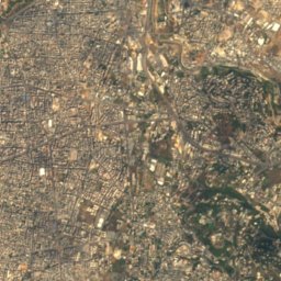



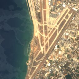
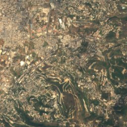
Satellite: Sentinel-2 cloudless 2016 by EOX IT Services GmbH · CC BY 4.0 · Contains modified Copernicus Sentinel data 2016
Chatt el Ouzaai
Borj el Branjé, Mount Lebanon
Islands
Islands of Lebanon

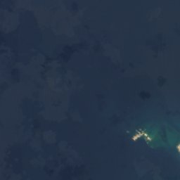
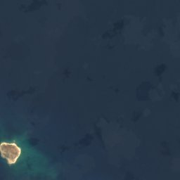



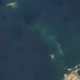
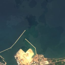
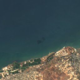


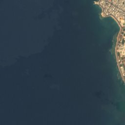
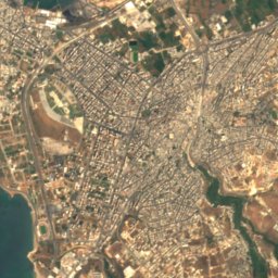
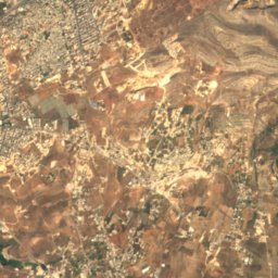
Satellite: Sentinel-2 cloudless 2016 by EOX IT Services GmbH · CC BY 4.0 · Contains modified Copernicus Sentinel data 2016
El Baqar
Tripoli, North Lebanon







Satellite: Sentinel-2 cloudless 2016 by EOX IT Services GmbH · CC BY 4.0 · Contains modified Copernicus Sentinel data 2016
Palm Island
Tripoli, North Lebanon



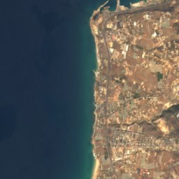
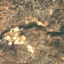



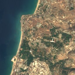
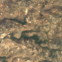


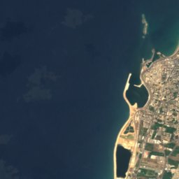
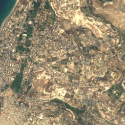
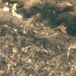
Satellite: Sentinel-2 cloudless 2016 by EOX IT Services GmbH · CC BY 4.0 · Contains modified Copernicus Sentinel data 2016
Al Zira Island
Sidon, South Governorate
Satellite: Sentinel-2 cloudless 2016 by EOX IT Services GmbH · CC BY 4.0 · Contains modified Copernicus Sentinel data 2016
El Mdoura
Tripoli, North Lebanon
Caves
Caves of Lebanon



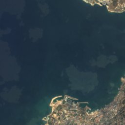
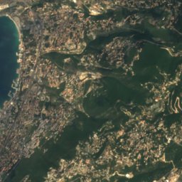
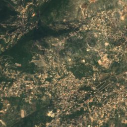

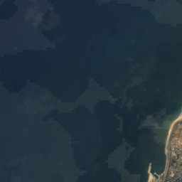
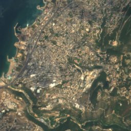
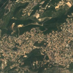
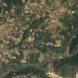
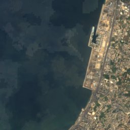
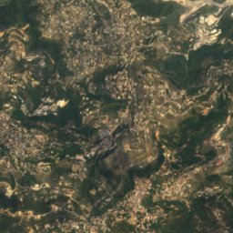
Satellite: Sentinel-2 cloudless 2016 by EOX IT Services GmbH · CC BY 4.0 · Contains modified Copernicus Sentinel data 2016
Jeita Grotto
El Fraïké, Mount Lebanon
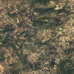
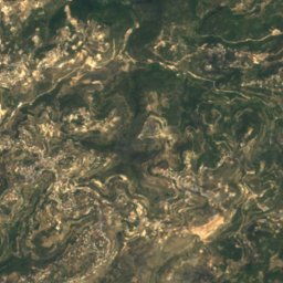
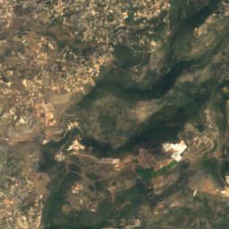
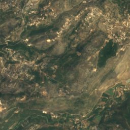
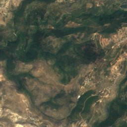
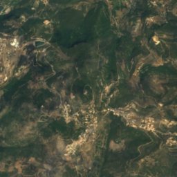
Satellite: Sentinel-2 cloudless 2016 by EOX IT Services GmbH · CC BY 4.0 · Contains modified Copernicus Sentinel data 2016
Fortress of Niha
Jezzine, South Governorate

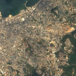
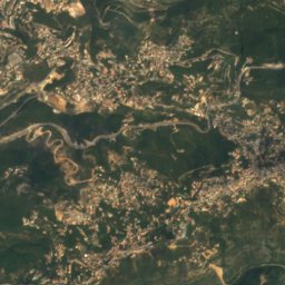
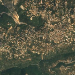
Satellite: Sentinel-2 cloudless 2016 by EOX IT Services GmbH · CC BY 4.0 · Contains modified Copernicus Sentinel data 2016
Antelias cave
Brummana, Mount Lebanon
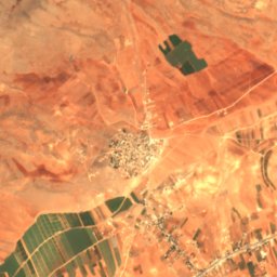
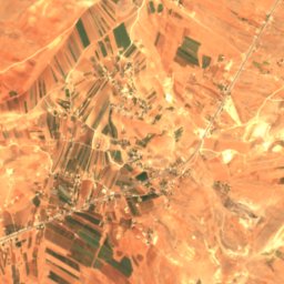
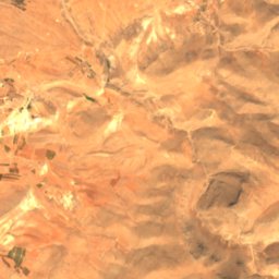
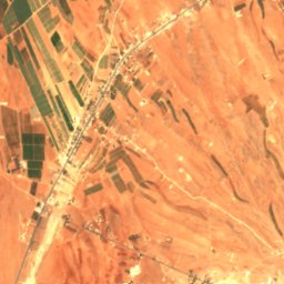
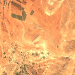
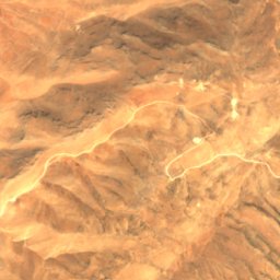
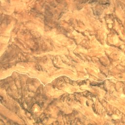
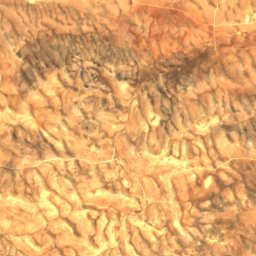
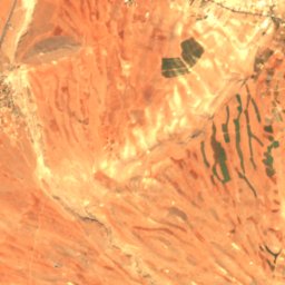
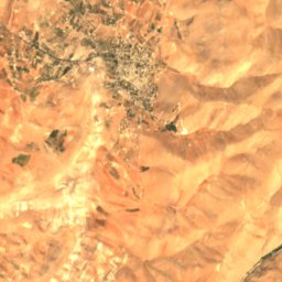
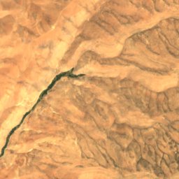
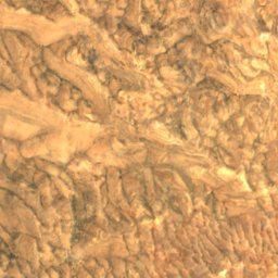
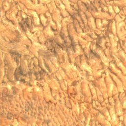
Satellite: Sentinel-2 cloudless 2016 by EOX IT Services GmbH · CC BY 4.0 · Contains modified Copernicus Sentinel data 2016
Nachcharini
Chaat, Baalbek-Hermel Governorate
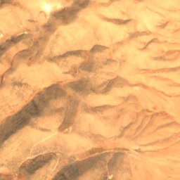
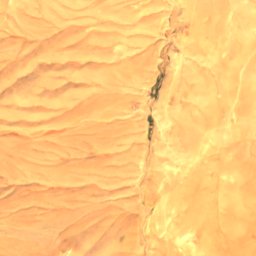
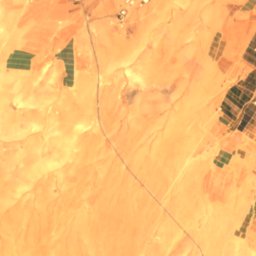
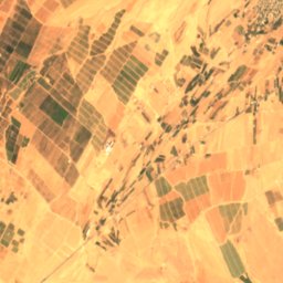
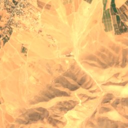
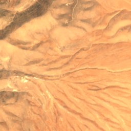
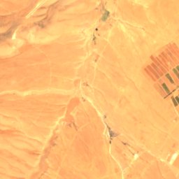
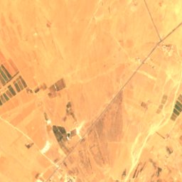
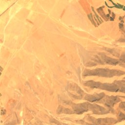
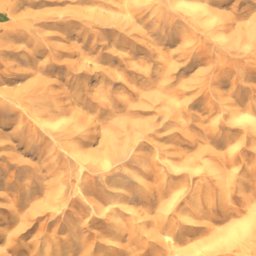
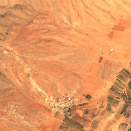
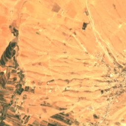
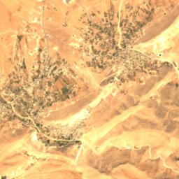
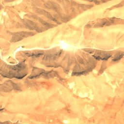
Satellite: Sentinel-2 cloudless 2016 by EOX IT Services GmbH · CC BY 4.0 · Contains modified Copernicus Sentinel data 2016
Ras Baalbek I
Ras Baalbek, Baalbek-Hermel Governorate
Satellite: Sentinel-2 cloudless 2016 by EOX IT Services GmbH · CC BY 4.0 · Contains modified Copernicus Sentinel data 2016
Ras El Kelb
Antelias, Mount Lebanon
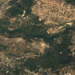
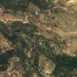
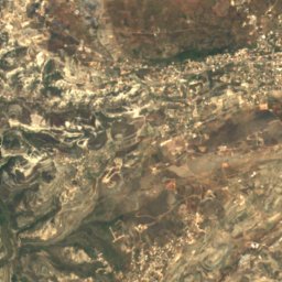
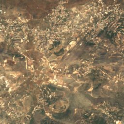
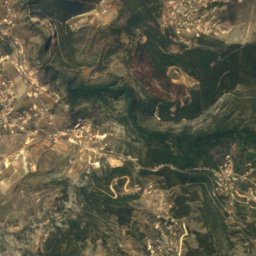
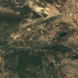
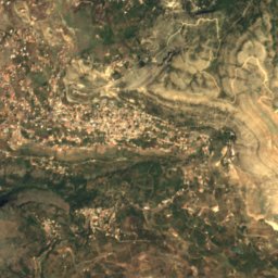
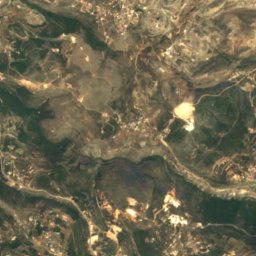
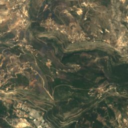
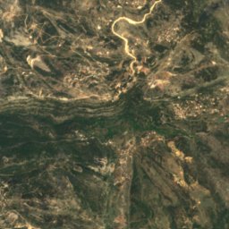
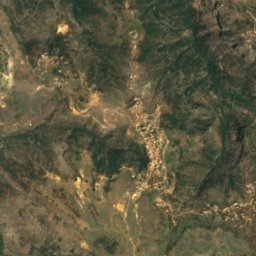
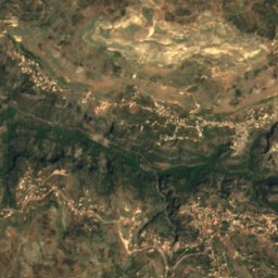
Satellite: Sentinel-2 cloudless 2016 by EOX IT Services GmbH · CC BY 4.0 · Contains modified Copernicus Sentinel data 2016
Delmass Cave
Blaouza, North Lebanon


Satellite: Sentinel-2 cloudless 2016 by EOX IT Services GmbH · CC BY 4.0 · Contains modified Copernicus Sentinel data 2016
Ar Rawshah
Beirut, Beirut
Rivers
Rivers of Lebanon

Photo: Original uploader was Eternalsleeper at en.wikipedia · Public domain · Wikimedia CommonsReport this photo · linked, not stored
Litani River
Tyre, South Governorate


Photo: Charles William Meredith van de Velde · Public domain · Wikimedia CommonsReport this photo · linked, not stored
Zahrani River
Ghazieh, South Governorate



Satellite: Sentinel-2 cloudless 2016 by EOX IT Services GmbH · CC BY 4.0 · Contains modified Copernicus Sentinel data 2016
Nahr al-Kalb
Zouk Mosbeh, Mount Lebanon