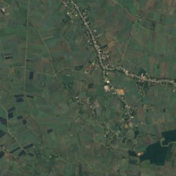
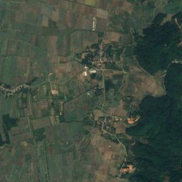
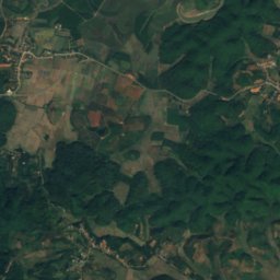
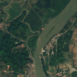
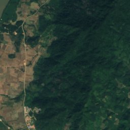
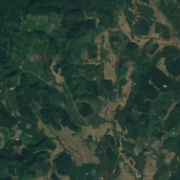
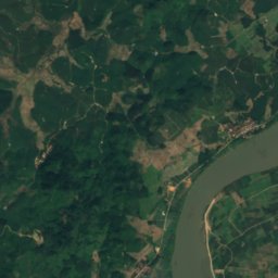
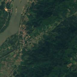
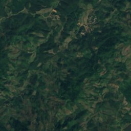
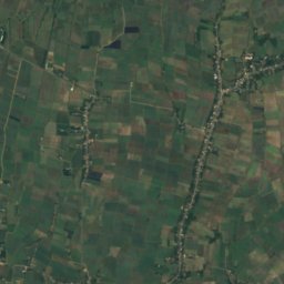
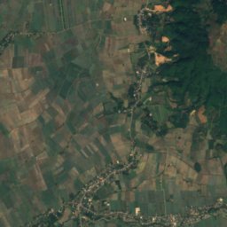
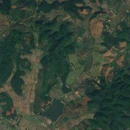
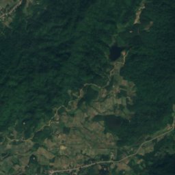
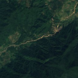
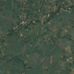
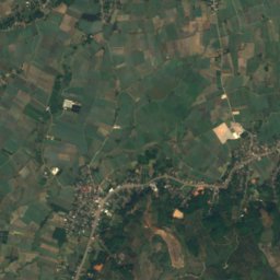
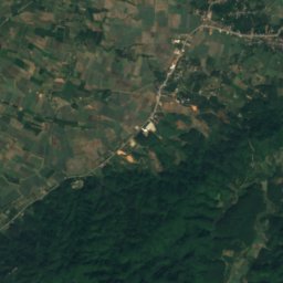
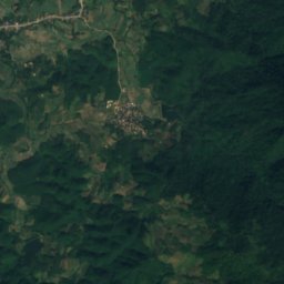
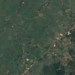
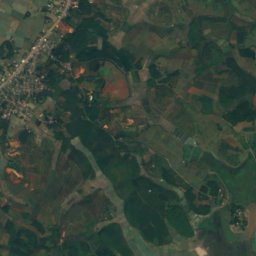
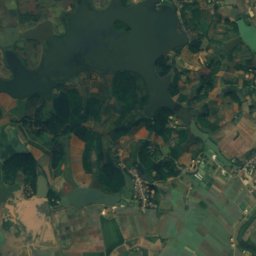
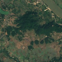
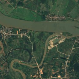
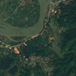
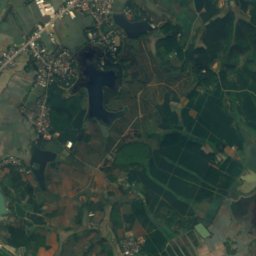
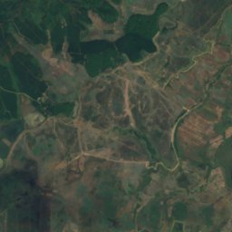
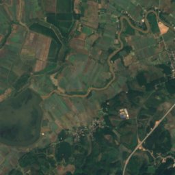
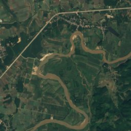
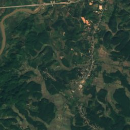
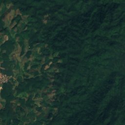
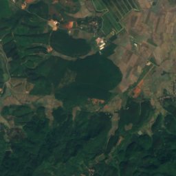
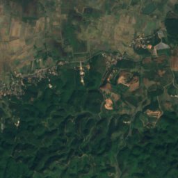
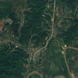
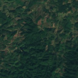
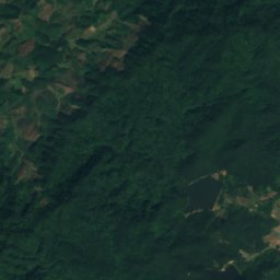
Satellite: Sentinel-2 cloudless 2016 by EOX IT Services GmbH · CC BY 4.0 · Contains modified Copernicus Sentinel data 2016

Photo: For a gallery of some more of my uploaded pictures see: here. · CC0 · Wikimedia Commons
Ruak RiverReport this photo · linked, not stored
Ruak RiverRuak RiverReport this photo · linked, not stored
IslandHomyen, Bokeo
Ko Klang
IslandBest Jan · Nov–Dec
Elevation–above sea level
Area–surface
Nearest townHomyen1.2 km
20.24° N, 100.14° EUTC+7 · Indochina Time
When to goHomyen · weather score
Best timeJan · Nov–Dec
October: high / low29° / 21°
Island
Ko Klang in brief
Ko Klang is an island in Homyen, Bokeo, Laos.
The nearest town in the atlas is Homyen, 1.2 km to the NW, where the weather is best in January, November and December.
Weather nearby now
Forecast for Homyen27°
Clear now
Today
22 Oct
31°
24°
1 mm
Fri
23 Oct
32°
25°
Sat
24 Oct
32°
25°
Sun
25 Oct
32°
26°
1 mm
Mon
26 Oct
32°
25°
2 mm
Model run 00:00 UTCRefreshed several times a day
When to go
Climate of HomyenThe best months around Ko Klang
Month score in Homyen
Comfort, dry days and sunshine · out of 10086
Jan
77
Feb
54
Mar
38
Apr
32
May
28
Jun
30
Jul
33
Aug
39
Sep
53
Oct
78
Nov
93
Dec
Map
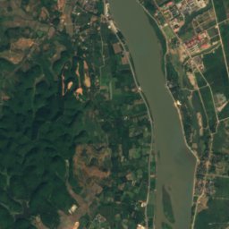
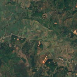
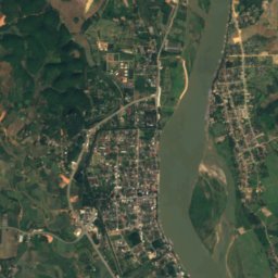
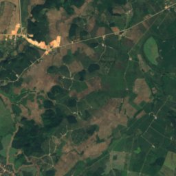
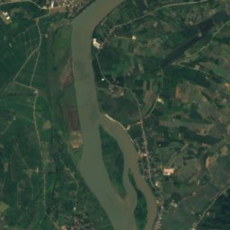
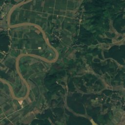
Ko Klang from above
Nature nearbyAll of Laos
Satellite: Sentinel-2 cloudless 2016 by EOX IT Services GmbH · CC BY 4.0 · Contains modified Copernicus Sentinel data 2016
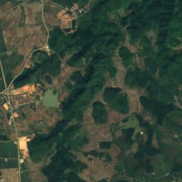
Satellite: Sentinel-2 cloudless 2016 by EOX IT Services GmbH · CC BY 4.0 · Contains modified Copernicus Sentinel data 2016

Photo: For a gallery of some more of my uploaded pictures see: here. · CC0 · Wikimedia CommonsReport this photo · linked, not stored
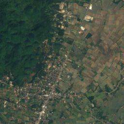
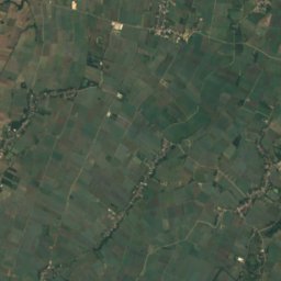
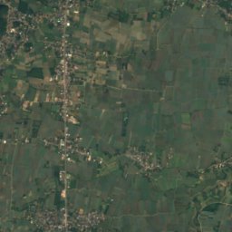
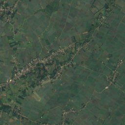
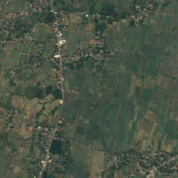
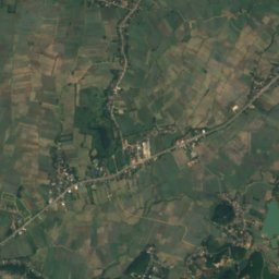
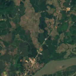
Satellite: Sentinel-2 cloudless 2016 by EOX IT Services GmbH · CC BY 4.0 · Contains modified Copernicus Sentinel data 2016
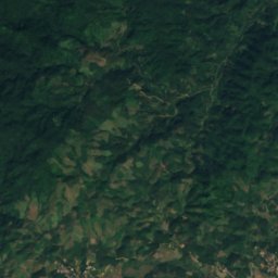
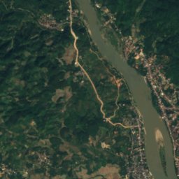
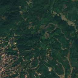
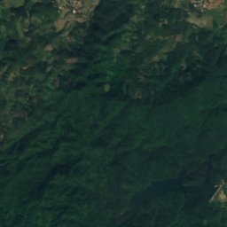
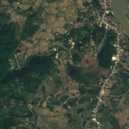
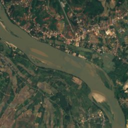
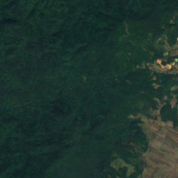
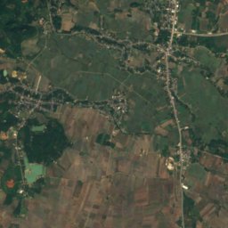
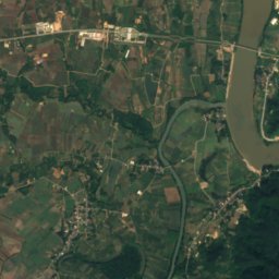
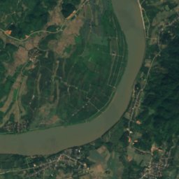
Satellite: Sentinel-2 cloudless 2016 by EOX IT Services GmbH · CC BY 4.0 · Contains modified Copernicus Sentinel data 2016
Summits nearbyMountains of Laos
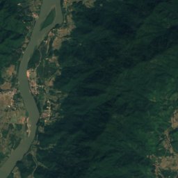
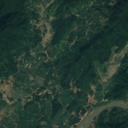
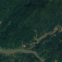
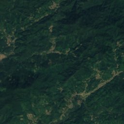
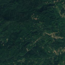
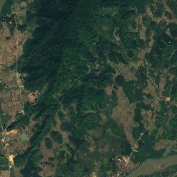
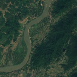
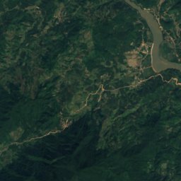
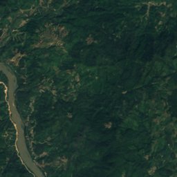
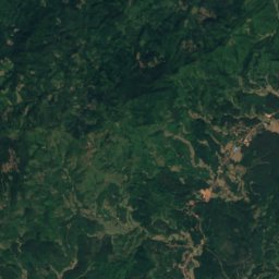
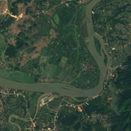
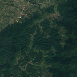
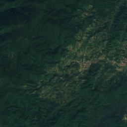
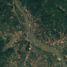
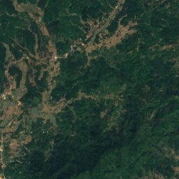
Satellite: Sentinel-2 cloudless 2016 by EOX IT Services GmbH · CC BY 4.0 · Contains modified Copernicus Sentinel data 2016
Stay nearby
Towns close by
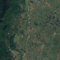
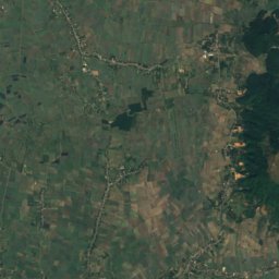
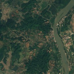
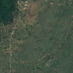
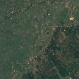
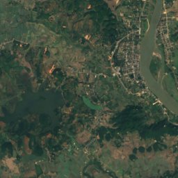
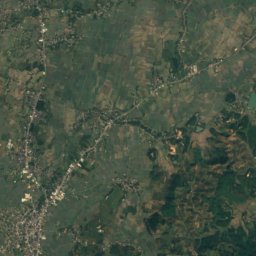
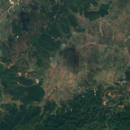
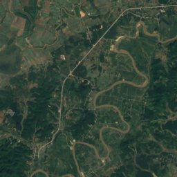
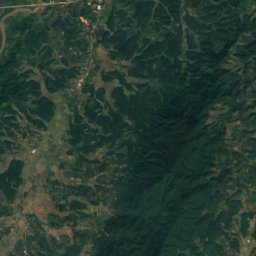
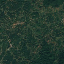
Satellite: Sentinel-2 cloudless 2016 by EOX IT Services GmbH · CC BY 4.0 · Contains modified Copernicus Sentinel data 2016
Homyen
Bokeo · 1.2 km NW
29°Oct high
12wet days
53score
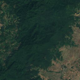
Satellite: Sentinel-2 cloudless 2016 by EOX IT Services GmbH · CC BY 4.0 · Contains modified Copernicus Sentinel data 2016
Donethat
Bokeo · 2.4 km NE
29°Oct high
12wet days
53score

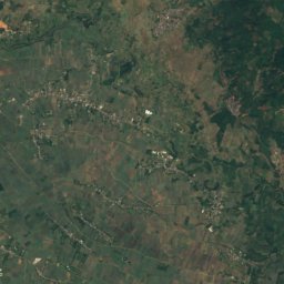
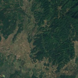
Satellite: Sentinel-2 cloudless 2016 by EOX IT Services GmbH · CC BY 4.0 · Contains modified Copernicus Sentinel data 2016
Ban Simuangngam
Bokeo · 7.4 km N
29°Oct high
12wet days
53score
Around here
Homyen and around
Nature
Satellite: Sentinel-2 cloudless 2016 by EOX IT Services GmbH · CC BY 4.0 · Contains modified Copernicus Sentinel data 2016
Ang Kep Nam Huai Kwan
Lake
Photo: For a gallery of some more of my uploaded pictures see: here. · CC0 · Wikimedia CommonsReport this photo · linked, not stored
Ruak River
River
Satellite: Sentinel-2 cloudless 2016 by EOX IT Services GmbH · CC BY 4.0 · Contains modified Copernicus Sentinel data 2016
Ang Kep Nam Nong Mano Ra
Lake
Mountains

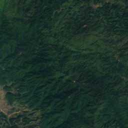
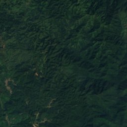
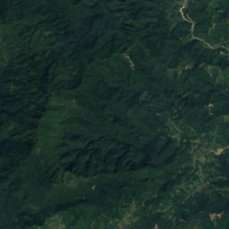
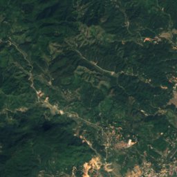
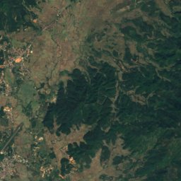
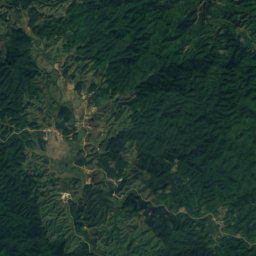
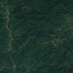
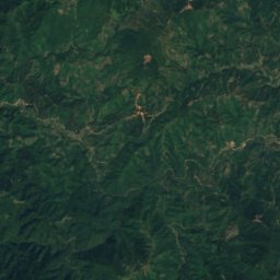
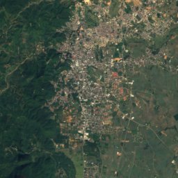
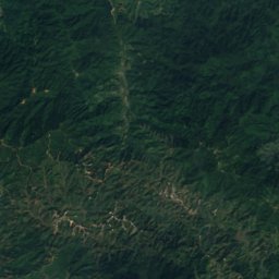
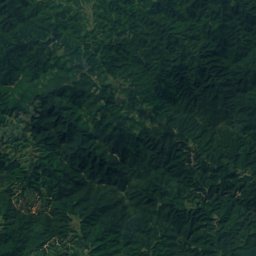
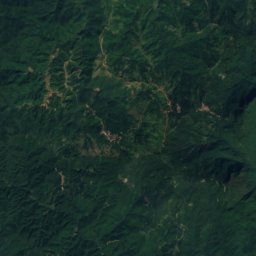
Satellite: Sentinel-2 cloudless 2016 by EOX IT Services GmbH · CC BY 4.0 · Contains modified Copernicus Sentinel data 2016
Doi Chong
1,269 m
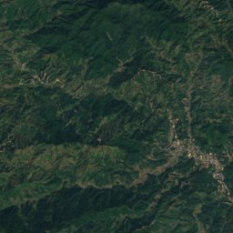
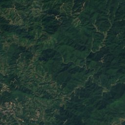
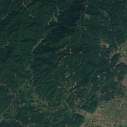
Satellite: Sentinel-2 cloudless 2016 by EOX IT Services GmbH · CC BY 4.0 · Contains modified Copernicus Sentinel data 2016
Doi Chang Mub
870 m
Heritage


Museums

Satellite: Sentinel-2 cloudless 2016 by EOX IT Services GmbH · CC BY 4.0 · Contains modified Copernicus Sentinel data 2016
Chiang Saen National Museum

Satellite: Sentinel-2 cloudless 2016 by EOX IT Services GmbH · CC BY 4.0 · Contains modified Copernicus Sentinel data 2016
House of Opium



Satellite: Sentinel-2 cloudless 2016 by EOX IT Services GmbH · CC BY 4.0 · Contains modified Copernicus Sentinel data 2016