Skip to content
Destinations
Weather & climate
Nature
Outdoors
Culture
Events
Sky & live
Llapi
Photo: Flgraphy · CC BY-SA 4.0 · Wikimedia Commons
LlapiReport this photo · linked, not stored
Vasileva Lake
Photo: Fatonkrasniqi · CC BY-SA 3.0 · Wikimedia Commons
Vasileva LakeReport this photo · linked, not stored
Vasileva Lake
Drenica
Photo: Drenisa · CC BY-SA 4.0 · Wikimedia Commons
DrenicaReport this photo · linked, not stored
Drenica
Golesh
Photo: albinfo · CC0 · Wikimedia Commons
GoleshReport this photo · linked, not stored
Golesh
RiverVushtrri, Mitrovica

Llapi

RiverBest May · Sep–Oct
Elevation–above sea level
Length72 kmsource to mouth
Nearest townVushtrri8.6 km
42.76° N, 21.02° EUTC+2 · Central European Summer Time
When to goVushtrri · weather score
JanFebMarAprMayJunJulAugSepOctNovDec77October
Best timeMay · Sep–Oct
October: high / low18° / 7°
River

Llapi in brief

Llapi is a river in Vushtrri, Mitrovica, Kosovo.

The nearest town in the atlas is Vushtrri, 8.6 km to the NW, where the weather is best in May, September and October.

Llapi is 72 km long.

Vushtrri: weather and travel guide

Weather nearby now

Forecast for Vushtrri
19°
Rain now
Wind2 km/h
Humidity70%
Cloud cover94%
Today
22 Oct
22°
11°
11 mm
Fri
23 Oct
17°
8°
4 mm
Sat
24 Oct
19°
6°
Sun
25 Oct
16°
7°
Mon
26 Oct
18°
6°

Model run 00:00 UTCRefreshed several times a day

When to go

The best months around Llapi

Climate of Vushtrri

Month score in Vushtrri

Comfort, dry days and sunshine · out of 100
Map

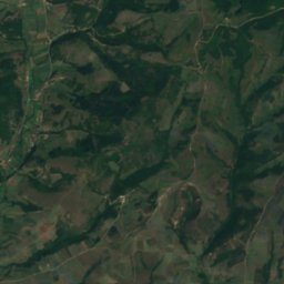
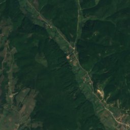
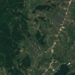
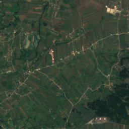
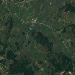
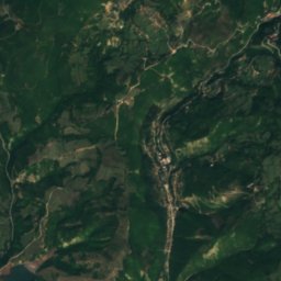
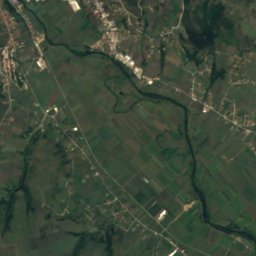
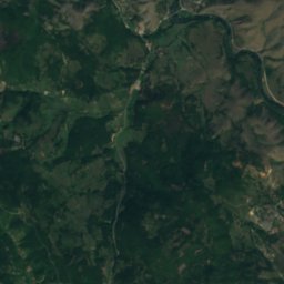
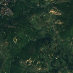
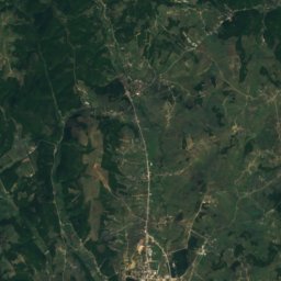
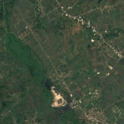
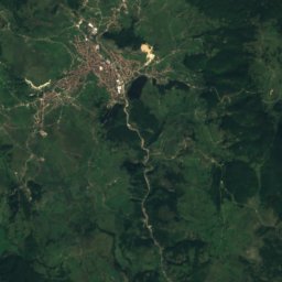
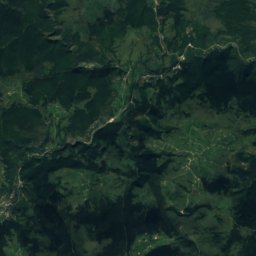
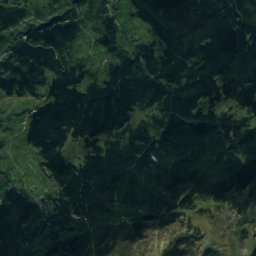
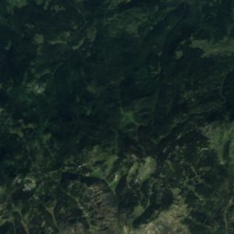
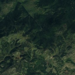
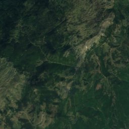
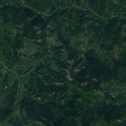
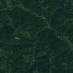
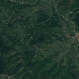
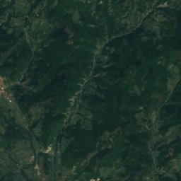
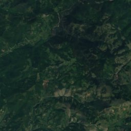
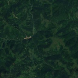
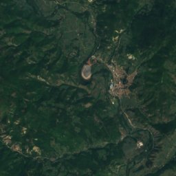
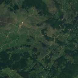
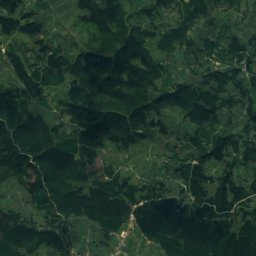
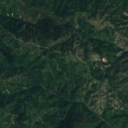
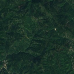
Llapi from above

Nature nearbyAll of Kosovo
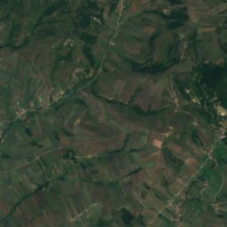
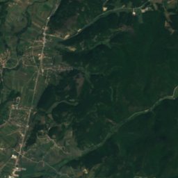
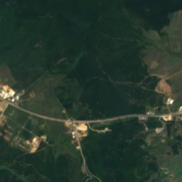
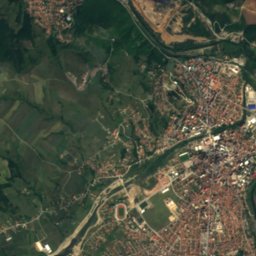
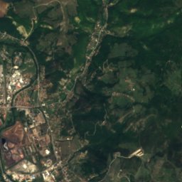
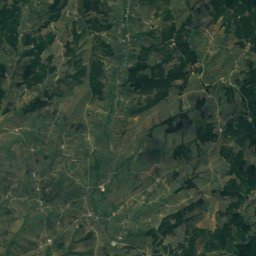
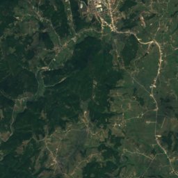
Satellite: Sentinel-2 cloudless 2016 by EOX IT Services GmbH · CC BY 4.0 · Contains modified Copernicus Sentinel data 2016
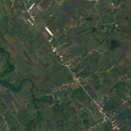
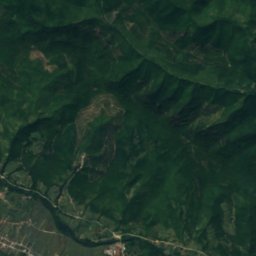
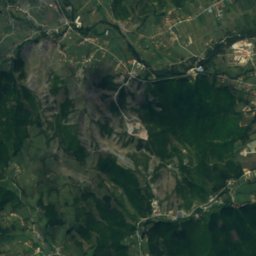
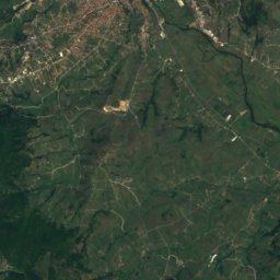
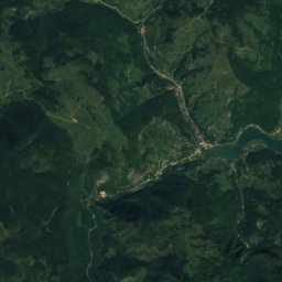
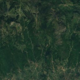
Kaçandoll riverRiver11 kmEKaçandoll river
Photo: Fatonkrasniqi · CC BY-SA 3.0 · Wikimedia CommonsReport this photo · linked, not stored
Vasileva LakeLake14 kmSVasileva Lake
Photo: Drenisa · CC BY-SA 4.0 · Wikimedia CommonsReport this photo · linked, not stored
DrenicaRiver16 kmSDrenica
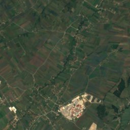
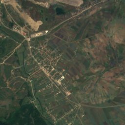
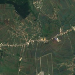
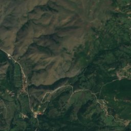
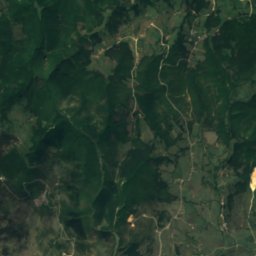
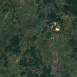
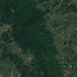
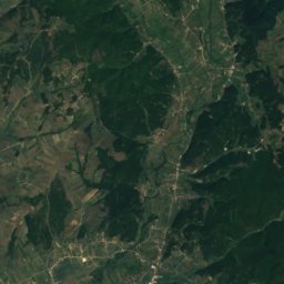
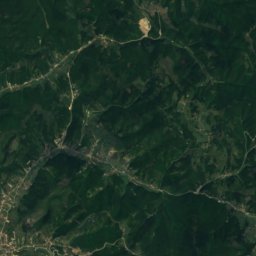
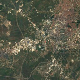
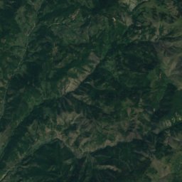
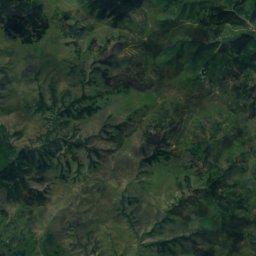
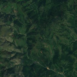
Satellite: Sentinel-2 cloudless 2016 by EOX IT Services GmbH · CC BY 4.0 · Contains modified Copernicus Sentinel data 2016
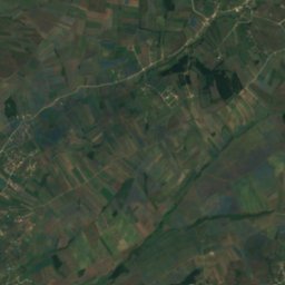
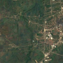
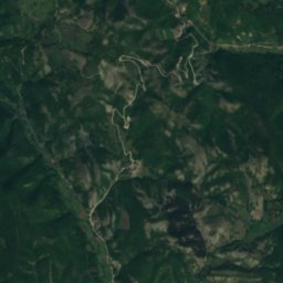
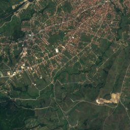
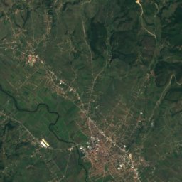
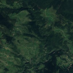
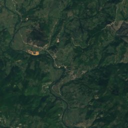
GračankaRiver16 kmSGračanka
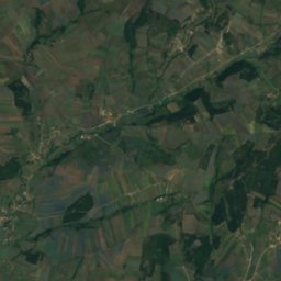
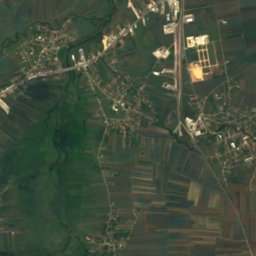
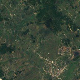
Satellite: Sentinel-2 cloudless 2016 by EOX IT Services GmbH · CC BY 4.0 · Contains modified Copernicus Sentinel data 2016
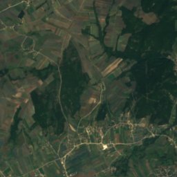
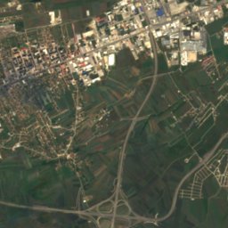
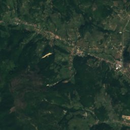
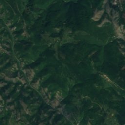
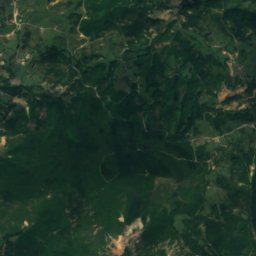
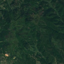
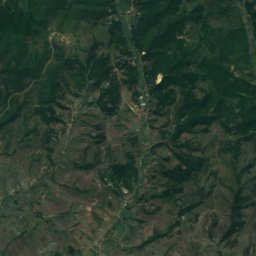
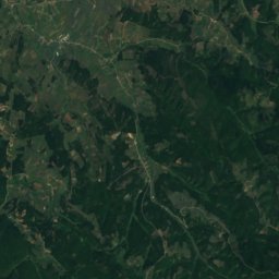
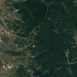
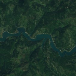
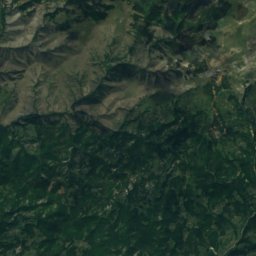
Mitrovica LakeLake20 kmNWMitrovica Lake
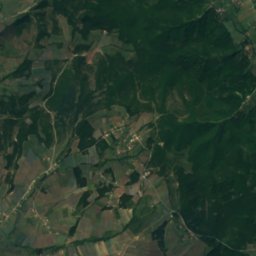
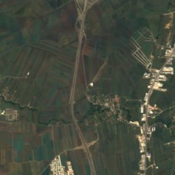
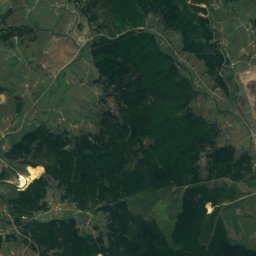
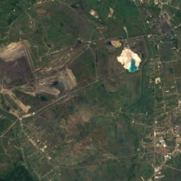
Satellite: Sentinel-2 cloudless 2016 by EOX IT Services GmbH · CC BY 4.0 · Contains modified Copernicus Sentinel data 2016
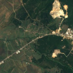
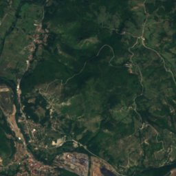
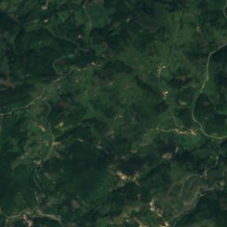
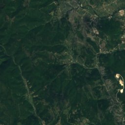
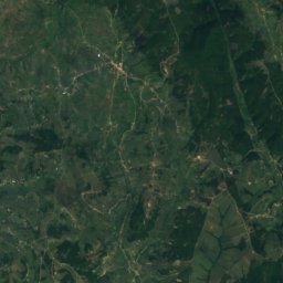
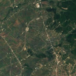
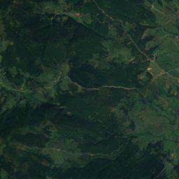
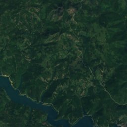
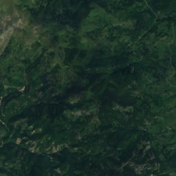
Kelmendi LakeLake21 kmNWKelmendi Lake
Summits nearbyMountains of Kosovo
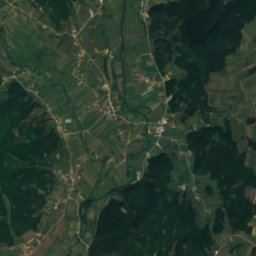
Satellite: Sentinel-2 cloudless 2016 by EOX IT Services GmbH · CC BY 4.0 · Contains modified Copernicus Sentinel data 2016
Çyçavica7.2 km W1,091 mJuly 25°Çyçavica
Photo: albinfo · CC0 · Wikimedia CommonsReport this photo · linked, not stored
Golesh21 km S1,019 mJuly 26°Golesh
Stay nearby

Towns close by

Vushtrri
Photo: Bleron Çaka · CC BY-SA 3.0 · Wikimedia CommonsReport this photo · linked, not stored

Vushtrri

Mitrovica · 8.6 km NW
18°Oct high
9wet days
77score
Vushtrri
Obiliq
Photo: Babaroga · CC BY-SA 3.0 · Wikimedia CommonsReport this photo · linked, not stored

Obiliq

Pristina · 8.8 km SE
18°Oct high
9wet days
76score
Obiliq
Vrani Do
Photo: Armendi.1 · CC BY-SA 3.0 · Wikimedia CommonsReport this photo · linked, not stored

Vrani Do

Pristina · 11 km E
17°Oct high
9wet days
72score
Vrani Do
Satellite: Sentinel-2 cloudless 2016 by EOX IT Services GmbH · CC BY 4.0 · Contains modified Copernicus Sentinel data 2016

Kosovo Polje

Pristina · 12 km SE
18°Oct high
9wet days
76score
Kosovo Polje
Around here

Vushtrri and around

Vushtrri
Photo: Bleron Çaka · CC BY-SA 3.0 · Wikimedia CommonsReport this photo · linked, not stored

Vushtrri

Mitrovica · Kosovo
May · Sep–Octbest months
29°July high
529 maltitude
Vushtrri

Nature

Satellite: Sentinel-2 cloudless 2016 by EOX IT Services GmbH · CC BY 4.0 · Contains modified Copernicus Sentinel data 2016
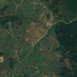
12 km NW

Mitrovica Lake

Lake · 506 m
Mitrovica Lake
Drenica
Photo: Drenisa · CC BY-SA 4.0 · Wikimedia CommonsReport this photo · linked, not stored
24 km S

Drenica

River · 536 m
Drenica
Vasileva Lake
Photo: Fatonkrasniqi · CC BY-SA 3.0 · Wikimedia CommonsReport this photo · linked, not stored
22 km S

Vasileva Lake

Lake
Vasileva Lake

Mountains

Satellite: Sentinel-2 cloudless 2016 by EOX IT Services GmbH · CC BY 4.0 · Contains modified Copernicus Sentinel data 2016
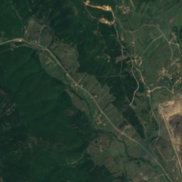
37 km W

Klinski Vrh

1,759 m
Klinski Vrh
Satellite: Sentinel-2 cloudless 2016 by EOX IT Services GmbH · CC BY 4.0 · Contains modified Copernicus Sentinel data 2016
36 km N

Čardak, Boranci

1,566 m
Čardak, Boranci
Satellite: Sentinel-2 cloudless 2016 by EOX IT Services GmbH · CC BY 4.0 · Contains modified Copernicus Sentinel data 2016
38 km NW

Rogozna

1,479 m · Dinaric Alps
Rogozna

Heritage

Vushtrri Stone Bridge
Photo: Photo Balkan · CC BY-SA 3.0 · Wikimedia CommonsReport this photo · linked, not stored
1.7 km SE

Vushtrri Stone Bridge

Cultural heritage monument of Kosovo
Vushtrri Stone Bridge
Vushtrri Castle
Photo: Arianaislami · CC BY-SA 4.0 · Wikimedia CommonsReport this photo · linked, not stored
0.1 km S

Vushtrri Castle

Monument of Culture
Vushtrri Castle
Old Hamam
Photo: Violetamyftari · CC BY-SA 4.0 · Wikimedia CommonsReport this photo · linked, not stored
0.3 km SW

Old Hamam

Cultural heritage monument of Kosovo
Old Hamam

Museums

City Museum of Mitrovica
Photo: GentiBehramaj · CC BY-SA 4.0 · Wikimedia CommonsReport this photo · linked, not stored
11 km NW

City Museum of Mitrovica

1952
City Museum of Mitrovica
Satellite: Sentinel-2 cloudless 2016 by EOX IT Services GmbH · CC BY 4.0 · Contains modified Copernicus Sentinel data 2016
11 km NW

Kosovska Mitrovica City Museum

1954
Kosovska Mitrovica City Museum