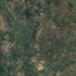
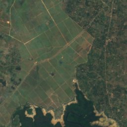
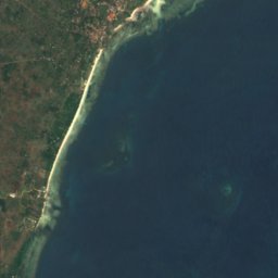


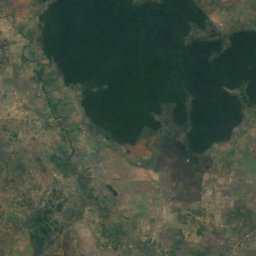
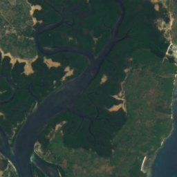
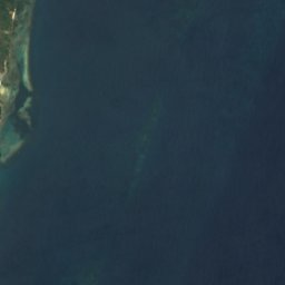


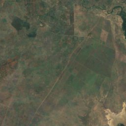
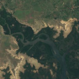
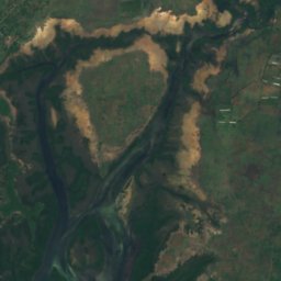
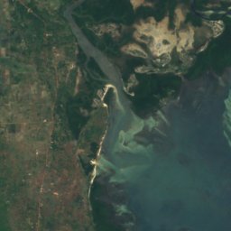
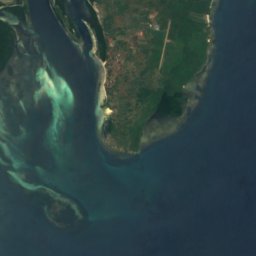







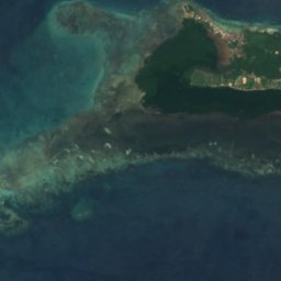
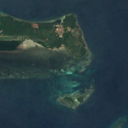



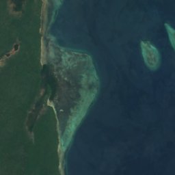
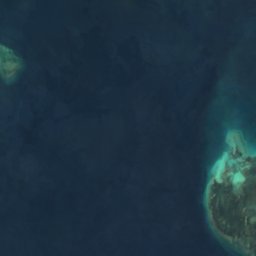
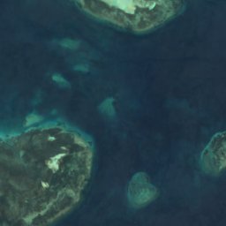
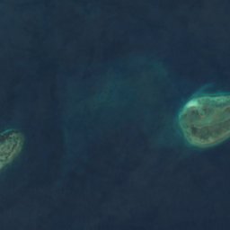
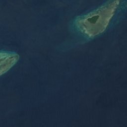




Satellite: Sentinel-2 cloudless 2016 by EOX IT Services GmbH · CC BY 4.0 · Contains modified Copernicus Sentinel data 2016
IslandShimoni, Kwale County
M'dua
IslandBest Aug–Oct
Elevation–above sea level
Area–surface
Nearest townShimoni5.7 km
4.61° S, 39.42° EUTC+3 · East Africa Time
When to goShimoni · weather score
Best timeAug–Oct
October: high / low27° / 24°
Island
M'dua in brief
M'dua is an island in Shimoni, Kwale County, Kenya.
The nearest town in the atlas is Shimoni, 5.7 km to the SW, where the weather is best in August, September and October.
Weather nearby now
Forecast for Shimoni28°
Clear now
Today
22 Oct
29°
26°
Fri
23 Oct
29°
26°
Sat
24 Oct
29°
26°
Sun
25 Oct
29°
25°
6 mm
Mon
26 Oct
29°
24°
14 mm
Model run 00:00 UTCRefreshed several times a day
When to go
Climate of ShimoniThe best months around M'dua
Month score in Shimoni
Comfort, dry days and sunshine · out of 10066
Jan
74
Feb
51
Mar
51
Apr
57
May
61
Jun
72
Jul
82
Aug
82
Sep
76
Oct
56
Nov
51
Dec
Map
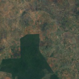
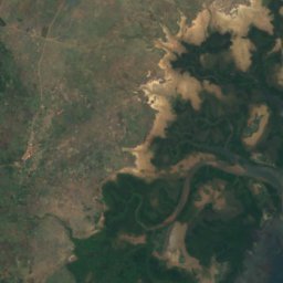
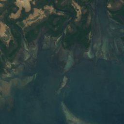
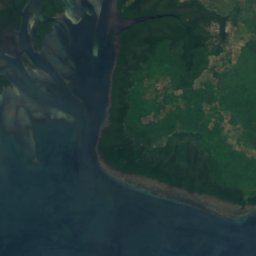
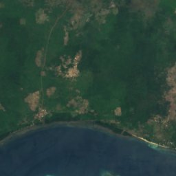
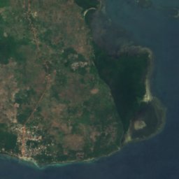
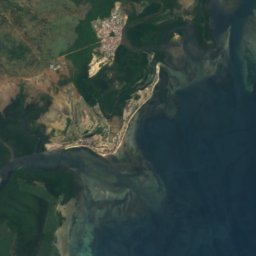
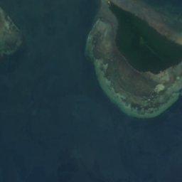
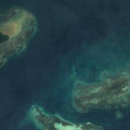
M'dua from above
Nature nearbyAll of Kenya
Satellite: Sentinel-2 cloudless 2016 by EOX IT Services GmbH · CC BY 4.0 · Contains modified Copernicus Sentinel data 2016
Satellite: Sentinel-2 cloudless 2016 by EOX IT Services GmbH · CC BY 4.0 · Contains modified Copernicus Sentinel data 2016
Satellite: Sentinel-2 cloudless 2016 by EOX IT Services GmbH · CC BY 4.0 · Contains modified Copernicus Sentinel data 2016
Satellite: Sentinel-2 cloudless 2016 by EOX IT Services GmbH · CC BY 4.0 · Contains modified Copernicus Sentinel data 2016
Satellite: Sentinel-2 cloudless 2016 by EOX IT Services GmbH · CC BY 4.0 · Contains modified Copernicus Sentinel data 2016
Satellite: Sentinel-2 cloudless 2016 by EOX IT Services GmbH · CC BY 4.0 · Contains modified Copernicus Sentinel data 2016


Around here
Shimoni and around
Nature

Photo: Luigi Guarino from Bonn, Germany · CC BY 2.0 · Wikimedia CommonsReport this photo · linked, not stored
Kisite-Mpunguti Marine National Park
National park
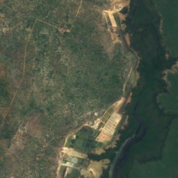


Satellite: Sentinel-2 cloudless 2016 by EOX IT Services GmbH · CC BY 4.0 · Contains modified Copernicus Sentinel data 2016
Umba River
River
Satellite: Sentinel-2 cloudless 2016 by EOX IT Services GmbH · CC BY 4.0 · Contains modified Copernicus Sentinel data 2016
Wasini Island
Island