
Photo: ToshiJapon · CC BY-SA 4.0 · Wikimedia Commons
Nameri RiverReport this photo · linked, not stored
Nameri RiverReport this photo · linked, not stored

Photo: 663highland · CC BY-SA 4.0 · Wikimedia Commons
YuigahamaReport this photo · linked, not stored
YuigahamaYuigahamaReport this photo · linked, not stored

Photo: Kaba-maru · CC BY-SA 4.0 · Wikimedia Commons
Zaimokuza BeachReport this photo · linked, not stored
Zaimokuza BeachZaimokuza BeachReport this photo · linked, not stored

Photo: Tadashi Okoshi · CC BY 2.0 · Wikimedia Commons
Zushi BeachReport this photo · linked, not stored
Zushi BeachZushi BeachReport this photo · linked, not stored

Photo: 663highland · CC BY-SA 4.0 · Wikimedia Commons
ShichirigahamaReport this photo · linked, not stored
ShichirigahamaShichirigahamaReport this photo · linked, not stored
RiverKamakura, Kanagawa
Nameri River
RiverBest May · Oct–Nov
Elevation–above sea level
Length6.3 kmsource to mouth
Nearest townKamakura0.2 km
35.31° N, 139.55° EUTC+9 · Japan Standard Time
When to goKamakura · weather score
Best timeMay · Oct–Nov
October: high / low21° / 17°
River
Nameri River in brief
Nameri River is a river in Kamakura, Kanagawa, Japan.
The nearest town in the atlas is Kamakura, 0.2 km to the NE, where the weather is best in May, October and November.
Nameri River is 6.3 km long.
Weather nearby now
Forecast for Kamakura18°
Cloudy now
Today
23 Oct
20°
16°
Sat
24 Oct
20°
17°
27 mm
Sun
25 Oct
22°
19°
2 mm
Mon
26 Oct
20°
19°
26 mm
Tue
27 Oct
24°
18°
3 mm
Model run 00:00 UTCRefreshed several times a day
The course of the river
As mapped in OpenStreetMap, with the towns of the atlas along its banks.- 1Inamuragasaki47 m
- 2Zaimokuza6 m
- 3Yuigahama13 m
- 4Kamakura7 m
- 5Zushi9 m
sourcemouth (or where the mapped line leaves the country)
Map
Nameri River from above
Nature nearbyAll of Japan


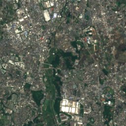
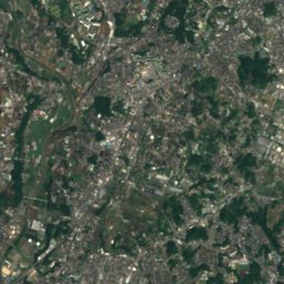
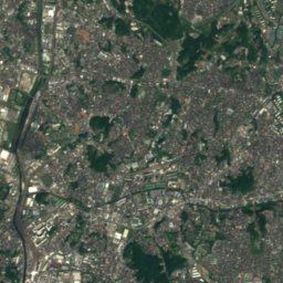
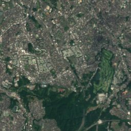
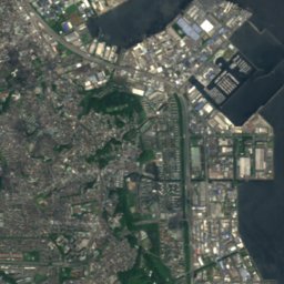
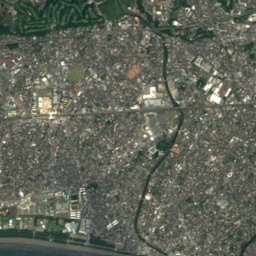
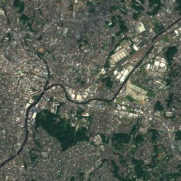
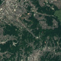
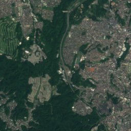
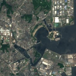
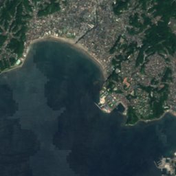
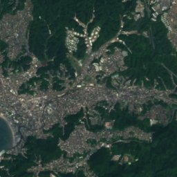
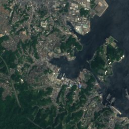
Satellite: Sentinel-2 cloudless 2016 by EOX IT Services GmbH · CC BY 4.0 · Contains modified Copernicus Sentinel data 2016


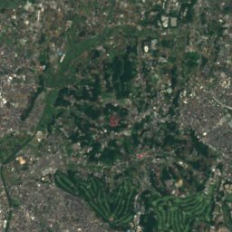
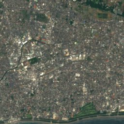
Satellite: Sentinel-2 cloudless 2016 by EOX IT Services GmbH · CC BY 4.0 · Contains modified Copernicus Sentinel data 2016
Summits nearbyMountains of Japan

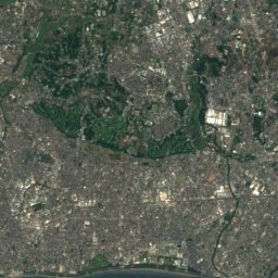
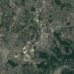
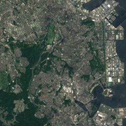
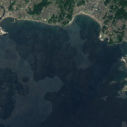
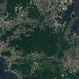
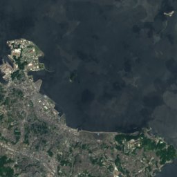


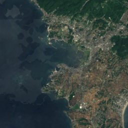
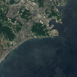
Satellite: Sentinel-2 cloudless 2016 by EOX IT Services GmbH · CC BY 4.0 · Contains modified Copernicus Sentinel data 2016


Photo: Guilhem Vellut from Annecy, France · CC BY 2.0 · Wikimedia CommonsReport this photo · linked, not stored


Stay nearby
Towns close by


Around here
Kamakura and around
Nature


Mountains


Heritage


Museums


Museum of Modern Art, Kamakura & Hayama
Museum of modern art


Kamakura Museum of National Treasures
City museum · 1928