
Photo: Sedicinoni at Italian Wikipedia · Public domain · Wikimedia Commons
VolturnoReport this photo · linked, not stored
VolturnoReport this photo · linked, not stored

Photo: Twilight · CC BY-SA 2.5 it · Wikimedia Commons
RoccamonfinaReport this photo · linked, not stored
RoccamonfinaRoccamonfinaReport this photo · linked, not stored

Photo: Giacomo Antonio Lombardi · CC BY-SA 4.0 · Wikimedia Commons
Monte MassicoReport this photo · linked, not stored
Monte MassicoMonte MassicoReport this photo · linked, not stored
 Tifata
RiverCancello ed Arnone, Campania
Volturno
RiverBest Apr–May · Oct
Elevation–above sea level
Length175 kmsource to mouth
Nearest townCancello ed Arnone3.2 km
41.09° N, 14.06° EUTC+2 · Central European Summer Time
When to goCancello ed Arnone · weather score
Best timeApr–May · Oct
October: high / low23° / 13°
River
Volturno in brief
Volturno is a river in Cancello ed Arnone, Campania, Italy.
The nearest town in the atlas is Cancello ed Arnone, 3.2 km to the SW, where the weather is best in April, May and October.
Volturno is 175 km long.
Weather nearby now
Forecast for Cancello ed Arnone20°
Partly cloudy now
Today
22 Oct
24°
12°
1 mm
Fri
23 Oct
23°
10°
Sat
24 Oct
24°
11°
3 mm
Sun
25 Oct
21°
7°
Mon
26 Oct
23°
9°
Model run 00:00 UTCRefreshed several times a day
The course of the river
As mapped in OpenStreetMap, with the towns of the atlas along its banks.- 1Cerro al Volturno572 m
- 2Fornelli530 m
- 3Sesto Campano323 m
- 4Vairano Patenora140 m
- 5Dragoni116 m
- 6Ruviano80 m
- 7Puglianello61 m
- 8Amorosi60 m
- 9Limatola48 m
- 10Piana di Monte Verna84 m
- 11Castel Morrone230 m
- 12Capua25 m
- 13Grazzanise12 m
- 14Castel Volturno3 m
sourcemouth (or where the mapped line leaves the country)
When to go
Climate of Cancello ed ArnoneThe best months around Volturno
Month score in Cancello ed Arnone
Comfort, dry days and sunshine · out of 10043
Jan
52
Feb
63
Mar
74
Apr
77
May
70
Jun
64
Jul
59
Aug
65
Sep
77
Oct
68
Nov
48
Dec
Map
Volturno from above
Nature nearbyAll of Italy


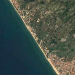
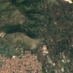
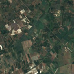


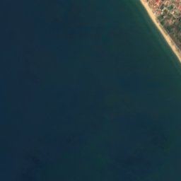
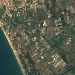
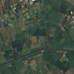



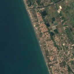
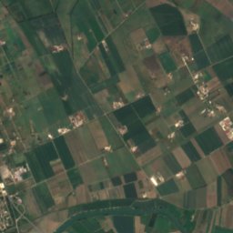
Satellite: Sentinel-2 cloudless 2016 by EOX IT Services GmbH · CC BY 4.0 · Contains modified Copernicus Sentinel data 2016

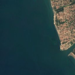
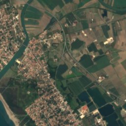
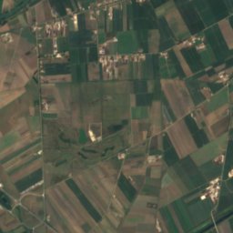
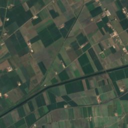


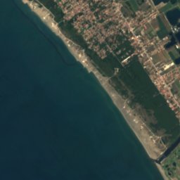
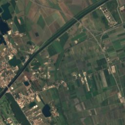
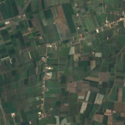


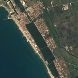
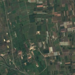
Satellite: Sentinel-2 cloudless 2016 by EOX IT Services GmbH · CC BY 4.0 · Contains modified Copernicus Sentinel data 2016
Satellite: Sentinel-2 cloudless 2016 by EOX IT Services GmbH · CC BY 4.0 · Contains modified Copernicus Sentinel data 2016
Satellite: Sentinel-2 cloudless 2016 by EOX IT Services GmbH · CC BY 4.0 · Contains modified Copernicus Sentinel data 2016

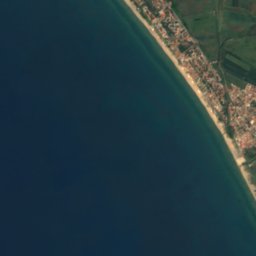
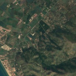
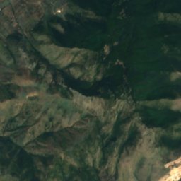
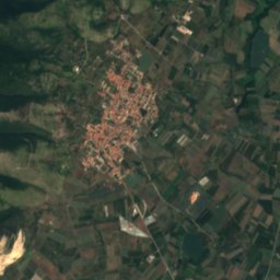
Satellite: Sentinel-2 cloudless 2016 by EOX IT Services GmbH · CC BY 4.0 · Contains modified Copernicus Sentinel data 2016
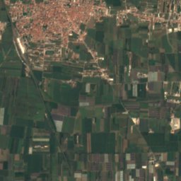
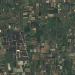


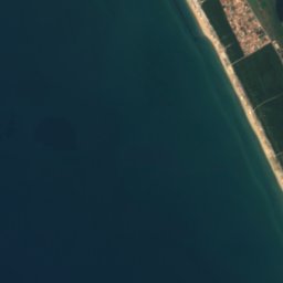
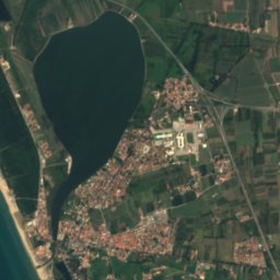
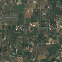
Satellite: Sentinel-2 cloudless 2016 by EOX IT Services GmbH · CC BY 4.0 · Contains modified Copernicus Sentinel data 2016
Summits nearbyMountains of Italy
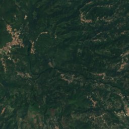
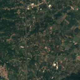
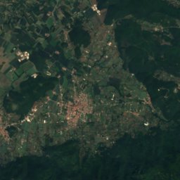
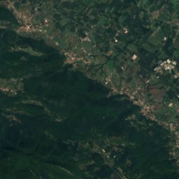
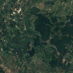
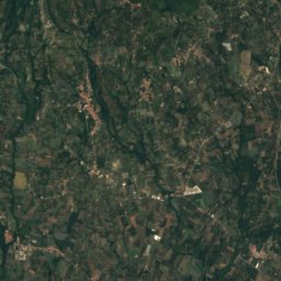
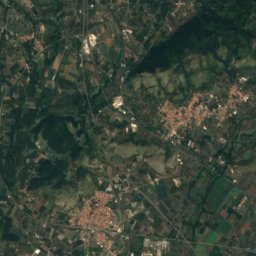
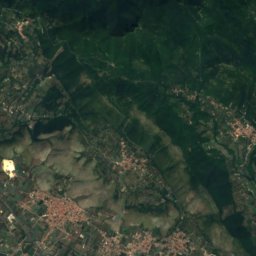
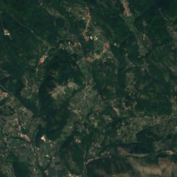
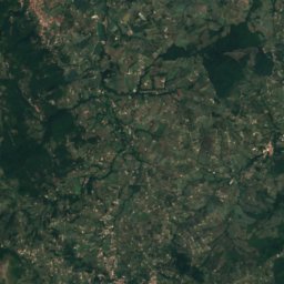
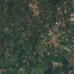
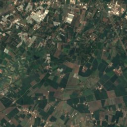
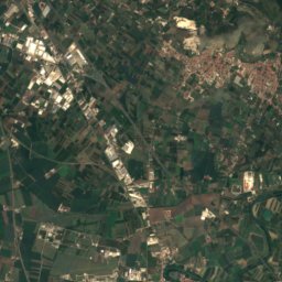
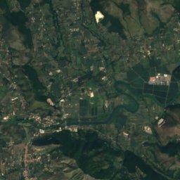
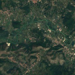
Satellite: Sentinel-2 cloudless 2016 by EOX IT Services GmbH · CC BY 4.0 · Contains modified Copernicus Sentinel data 2016


Photo: Giacomo Antonio Lombardi · CC BY-SA 4.0 · Wikimedia CommonsReport this photo · linked, not stored

Stay nearby
Towns close by
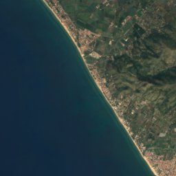
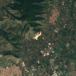
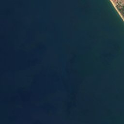
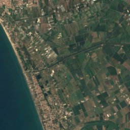
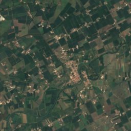
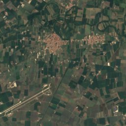
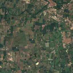

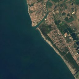
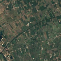
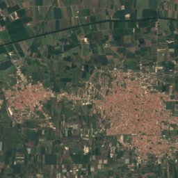
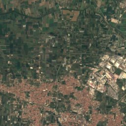
Satellite: Sentinel-2 cloudless 2016 by EOX IT Services GmbH · CC BY 4.0 · Contains modified Copernicus Sentinel data 2016
Cancello ed Arnone
Campania · 3.2 km SW
23°Oct high
10wet days
77score
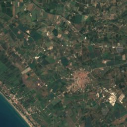
Satellite: Sentinel-2 cloudless 2016 by EOX IT Services GmbH · CC BY 4.0 · Contains modified Copernicus Sentinel data 2016
Grazzanise
Campania · 3.5 km E
23°Oct high
10wet days
77score

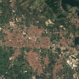
Satellite: Sentinel-2 cloudless 2016 by EOX IT Services GmbH · CC BY 4.0 · Contains modified Copernicus Sentinel data 2016
Santa Maria la Fossa
Campania · 6.0 km E
24°Oct high
10wet days
77score
Around here
Cancello ed Arnone and around
Satellite: Sentinel-2 cloudless 2016 by EOX IT Services GmbH · CC BY 4.0 · Contains modified Copernicus Sentinel data 2016
Cancello ed Arnone
Campania · Italy
Apr–May · Octbest months
30°July high
10 maltitude
Nature
Satellite: Sentinel-2 cloudless 2016 by EOX IT Services GmbH · CC BY 4.0 · Contains modified Copernicus Sentinel data 2016
Clanio
River

Satellite: Sentinel-2 cloudless 2016 by EOX IT Services GmbH · CC BY 4.0 · Contains modified Copernicus Sentinel data 2016
Lago di Patria
Lake · 4 m
Mountains
Satellite: Sentinel-2 cloudless 2016 by EOX IT Services GmbH · CC BY 4.0 · Contains modified Copernicus Sentinel data 2016
Monte Maggiore, Campania
1,036 m · Monti Trebulani
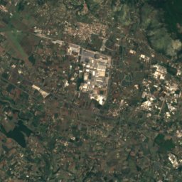
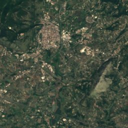
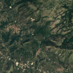
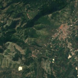
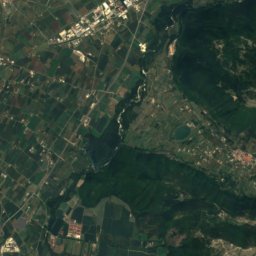
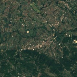
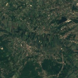
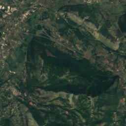
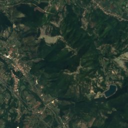
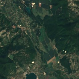
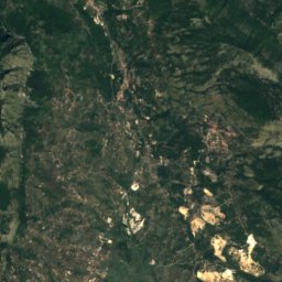
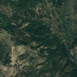
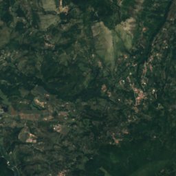
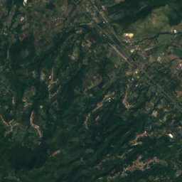
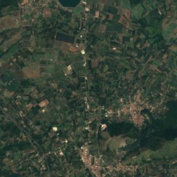
Satellite: Sentinel-2 cloudless 2016 by EOX IT Services GmbH · CC BY 4.0 · Contains modified Copernicus Sentinel data 2016
Monte Camino
960 m · Samnite Apennine
Heritage
Satellite: Sentinel-2 cloudless 2016 by EOX IT Services GmbH · CC BY 4.0 · Contains modified Copernicus Sentinel data 2016
Royal Palace of Carditello
Italian national heritage · 1744
Satellite: Sentinel-2 cloudless 2016 by EOX IT Services GmbH · CC BY 4.0 · Contains modified Copernicus Sentinel data 2016
Ducal palace
Italian national heritage
Satellite: Sentinel-2 cloudless 2016 by EOX IT Services GmbH · CC BY 4.0 · Contains modified Copernicus Sentinel data 2016
Rocca Montis Dragonis
Italian national heritage
Museums

Satellite: Sentinel-2 cloudless 2016 by EOX IT Services GmbH · CC BY 4.0 · Contains modified Copernicus Sentinel data 2016
Biagio Greco Archaeological Museum
Archaeological museum
Satellite: Sentinel-2 cloudless 2016 by EOX IT Services GmbH · CC BY 4.0 · Contains modified Copernicus Sentinel data 2016
Foof Museo del Cane


Satellite: Sentinel-2 cloudless 2016 by EOX IT Services GmbH · CC BY 4.0 · Contains modified Copernicus Sentinel data 2016