Skip to content
Destinations
Weather & climate
Nature
Outdoors
Culture
Events
Sky & live
Isel
Photo: Haeferl · CC BY-SA 4.0 · Wikimedia Commons
IselReport this photo · linked, not stored
Schlaitner Keesflecken
Photo: Michael Kranewitter · CC BY-SA 3.0 at · Wikimedia Commons
Schlaitner KeesfleckenReport this photo · linked, not stored
Schlaitner Keesflecken
Althauskees
Photo: Michael Kranewitter · CC BY-SA 3.0 at · Wikimedia Commons
AlthauskeesReport this photo · linked, not stored
Althauskees
Umbalkees
Photo: Michael Kranewitter · CC BY-SA 3.0 at · Wikimedia Commons
UmbalkeesReport this photo · linked, not stored
Umbalkees
Gubachkees
Photo: Michael Kranewitter · CC BY-SA 4.0 · Wikimedia Commons
GubachkeesReport this photo · linked, not stored
Gubachkees
RiverPrettau, Trentino-Alto Adige

Isel

RiverBest Jun–Aug
Elevation–above sea level
Length57 kmsource to mouth
Nearest townPrettau9.2 km
47.05° N, 12.23° EUTC+2 · Central European Summer Time
When to goPrettau · weather score
JanFebMarAprMayJunJulAugSepOctNovDec25October
Best timeJun–Aug
October: high / low11° / 1°
River

Isel in brief

Isel is a river in Prettau, Trentino-Alto Adige, Italy — river in Austria.

The nearest town is Prettau, 9.2 km to the W, where the weather is best in June, July and August.

Isel is 57 km long.

Prettau: weather and travel guide

Weather nearby now

Forecast for Prettau
4°
Rain now
Wind5 km/h
Humidity89%
Cloud cover100%
Today
23 Oct
6°
0°
1 mm
Sat
24 Oct
3°
-7°
4 mm
Sun
25 Oct
5°
-4°
6 mm
Mon
26 Oct
8°
-2°
Tue
27 Oct
13°
5°

Model run 12:00 UTCRefreshed several times a day

The course of the river

As mapped in OpenStreetMap, with the towns along its banks.
123456789101112
  1. 1Prägraten am Großvenediger1,297 m
  2. 2Virgen1,194 m
  3. 3Matrei in Osttirol946 m
  4. 4Sankt Johann im Walde752 m
  5. 5Schlaiten867 m
  6. 6Ainet727 m
  7. 7Oberlienz817 m
  8. 8Leisach745 m
  9. 9Thurn985 m
  10. 10Lienz681 m
  11. 11Tristach668 m
  12. 12Amlach685 m
sourcemouth (or where the mapped line leaves the country)
When to go

The best months around Isel

Climate of Prettau

Month score in Prettau

Comfort, dry days and sunshine · out of 100
21
Jan
21
Feb
18
Mar
20
Apr
42
May
61
Jun
62
Jul
62
Aug
48
Sep
25
Oct
22
Nov
19
Dec
Map

Isel from above

Nature nearbyAll of Italy
Photo: Michael Kranewitter · CC BY-SA 3.0 at · Wikimedia CommonsReport this photo · linked, not stored
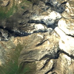
Schlaitner KeesfleckenGlacier1.2 kmNWSchlaitner Keesflecken
Photo: Michael Kranewitter · CC BY-SA 3.0 at · Wikimedia CommonsReport this photo · linked, not stored
AlthauskeesGlacier1.3 kmNAlthauskees
Photo: Michael Kranewitter · CC BY-SA 3.0 at · Wikimedia CommonsReport this photo · linked, not stored
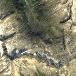
UmbalkeesGlacier1.4 kmNEUmbalkees
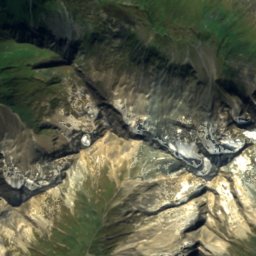
Satellite: Sentinel-2 cloudless 2016 by EOX IT Services GmbH · CC BY 4.0 · Contains modified Copernicus Sentinel data 2016
RötkeesGlacier2.6 kmSWRötkees
Photo: Michael Kranewitter · CC BY-SA 4.0 · Wikimedia CommonsReport this photo · linked, not stored
GubachkeesGlacier2.6 kmSEGubachkees
Photo: Michael Kranewitter · CC BY-SA 3.0 at · Wikimedia CommonsReport this photo · linked, not stored
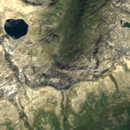
Südliches MalhamkeesGlacier2.8 kmESüdliches Malhamkees
Summits nearbyMountains of Italy
Photo: Jörg Braukmann · CC BY-SA 4.0 · Wikimedia CommonsReport this photo · linked, not stored
Großvenediger11 km NE3,657 mJuly 5°Großvenediger
Photo: Cactus26 · CC BY-SA 3.0 · Wikimedia CommonsReport this photo · linked, not stored
Rainerhorn12 km NE3,559 mJuly 5°Rainerhorn
Photo: Michael Kranewitter · CC BY-SA 3.0 at · Wikimedia CommonsReport this photo · linked, not stored
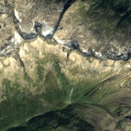
Hohes Aderl11 km NE3,506 mJuly 4°Hohes Aderl
Photo: Mariozott · CC BY-SA 3.0 · Wikimedia CommonsReport this photo · linked, not stored
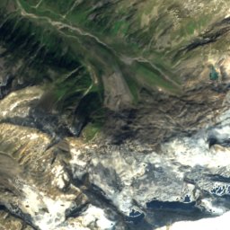
Schwarze Wand, Prägraten am Großvenediger12 km NE3,503 mJuly 5°Schwarze Wand, Prägraten am Großvenediger
Photo: Schlesinger · CC BY-SA 4.0 · Wikimedia CommonsReport this photo · linked, not stored
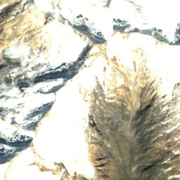
Dreiherrnspitze2.5 km NE3,499 mJuly 6°Dreiherrnspitze
Photo: ReddishClover · CC BY 4.0 · Wikimedia CommonsReport this photo · linked, not stored
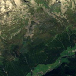
Rötspitze2.9 km SW3,496 mJuly 6°Rötspitze
Stay nearby

Towns close by

Prettau
Photo: Valeria Passerini · CC BY-SA 4.0 · Wikimedia CommonsReport this photo · linked, not stored
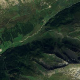
Prettau

Trentino-Alto Adige · 9.2 km W
11°Oct high
14wet days
25score
Prettau
Prägraten am Großvenediger
Photo: Geiserich77 · CC BY-SA 3.0 · Wikimedia CommonsReport this photo · linked, not stored
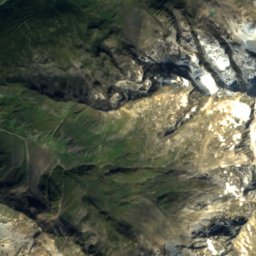
Prägraten am Großvenediger

Tyrol · 12 km E
11°Oct high
14wet days
24score
Prägraten am Großvenediger
Sankt Jakob in Defereggen
Photo: Niki.L · CC BY-SA 4.0 · Wikimedia CommonsReport this photo · linked, not stored
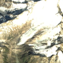
Sankt Jakob in Defereggen

Tyrol · 16 km SE
11°Oct high
13wet days
26score
Sankt Jakob in Defereggen
Virgen
Photo: Michael Kranewitter, Vienna · CC BY-SA 2.5 · Wikimedia CommonsReport this photo · linked, not stored
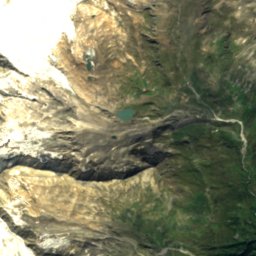
Virgen

Tyrol · 18 km E
12°Oct high
14wet days
32score
Virgen
Around here

Prettau and around

Prettau
Photo: Valeria Passerini · CC BY-SA 4.0 · Wikimedia CommonsReport this photo · linked, not stored
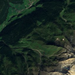
Prettau

Trentino-Alto Adige · Italy
Jun–Augbest months
21°July high
1,475 maltitude
Prettau

Nature

Fleischbachkees
Photo: Michael Kranewitter · CC BY-SA 4.0 · Wikimedia CommonsReport this photo · linked, not stored
11 km SE

Fleischbachkees

Glacier · 2,699 m
Fleischbachkees
Berghotel Kasern
Photo: GuenterSteger · CC0 · Wikimedia CommonsReport this photo · linked, not stored
2.0 km NE

Berghotel Kasern

Mountain hut · 1,600 m
Berghotel Kasern
Birnlückenhütte
Photo: R.Enders at de.wikipedia · Public domain · Wikimedia CommonsReport this photo · linked, not stored
8.8 km NE

Birnlückenhütte

Mountain hut · 2,441 m
Birnlückenhütte

Mountains

Großvenediger
Photo: Jörg Braukmann · CC BY-SA 4.0 · Wikimedia CommonsReport this photo · linked, not stored
20 km NE

Großvenediger

3,657 m · Venediger Group
Großvenediger
Rainerhorn
Photo: Cactus26 · CC BY-SA 3.0 · Wikimedia CommonsReport this photo · linked, not stored
21 km E

Rainerhorn

3,559 m · Venediger Group
Rainerhorn
Hochfeiler
Photo: Carsten Steger · CC BY-SA 4.0 · Wikimedia CommonsReport this photo · linked, not stored
30 km W

Hochfeiler

3,509 m
Hochfeiler

Heritage

Satellite: Sentinel-2 cloudless 2016 by EOX IT Services GmbH · CC BY 4.0 · Contains modified Copernicus Sentinel data 2016
1.5 km NW

Biotop Wiesermoos

site of community importance · 1992
Biotop Wiesermoos
Rieserferner-Ahrn Nature Park
Photo: Cactus26 · CC BY-SA 3.0 · Wikimedia CommonsReport this photo · linked, not stored
15 km S

Rieserferner-Ahrn Nature Park

Special Protection Area · 1988
Rieserferner-Ahrn Nature Park
Saint John the Baptist church, Valle Aurina - Ahrntal
Photo: Langec · CC BY 2.5 · Wikimedia CommonsReport this photo · linked, not stored
14 km SW

Saint John the Baptist church, Valle Aurina - Ahrntal

Cultural heritage monument in South Tyrol
Saint John the Baptist church, Valle Aurina - Ahrntal

Museums

Mining Museum Prettau
Photo: Yiyi · CC BY-SA 4.0 · Wikimedia CommonsReport this photo · linked, not stored
1.2 km NE

Mining Museum Prettau

Mining museum
Mining Museum Prettau
Museo dei presepi e dell’arte Popolare Maranatha
Photo: Luca Giovanni Bertini · CC BY-SA 4.0 · Wikimedia CommonsReport this photo · linked, not stored
12 km SW

Museo dei presepi e dell’arte Popolare Maranatha

Museum of modern art
Museo dei presepi e dell’arte Popolare Maranatha
Mining Museum Steinhaus
Photo: Langec · CC BY 2.5 · Wikimedia CommonsReport this photo · linked, not stored
11 km SW

Mining Museum Steinhaus

Mining museum
Mining Museum Steinhaus