Skip to content
Destinations
Weather & climate
Nature
Outdoors
Culture
Events
Sky & live
Capri
Photo: Mentnafunangann · CC BY-SA 4.0 · Wikimedia Commons
CapriReport this photo · linked, not stored
Grotta Verde
Photo: Wolfgang Moroder · CC BY-SA 3.0 · Wikimedia Commons
Grotta VerdeReport this photo · linked, not stored
Grotta Verde
Faraglioni
Photo: Alessio Maffeis from Stockholm, Sweden · CC BY 2.0 · Wikimedia Commons
FaraglioniReport this photo · linked, not stored
Faraglioni
IslandCapri, Campania

Capri

Island589 m elevationBest May–Jul
Elevation589 mabove sea level
Area10 km²surface
Nearest townCapri0.8 km
40.55° N, 14.23° EElevation 589 mUTC+2 · Central European Summer Time
When to goCapri · weather score
JanFebMarAprMayJunJulAugSepOctNovDec77October
Best timeMay–Jul
October: high / low23° / 16°
Island

Capri in brief

Capri is an island in Capri, Campania, Italy — island near Naples.

It lies at 589 m above sea level and covers about 10 km².

The nearest town in the atlas is Capri, 0.8 km to the E, where the weather is best in May, June and July.

Capri: weather and travel guide

Weather nearby now

Forecast for Capri
20°
Partly cloudy now
Wind35 km/h
Humidity63%
Cloud cover48%
Today
22 Oct
24°
18°
2 mm
Fri
23 Oct
22°
17°
Sat
24 Oct
23°
17°
2 mm
Sun
25 Oct
20°
15°
Mon
26 Oct
22°
16°

Model run 00:00 UTCRefreshed several times a day

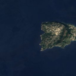
The island from above

10 km² · coastline as mapped in OpenStreetMap
1 km
When to go

The best months around Capri

Climate of Capri

Month score in Capri

Comfort, dry days and sunshine · out of 100
Map

Capri from above

Nature nearbyAll of Italy

Satellite: Sentinel-2 cloudless 2016 by EOX IT Services GmbH · CC BY 4.0 · Contains modified Copernicus Sentinel data 2016
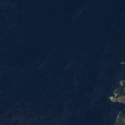
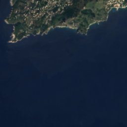
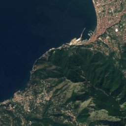
Grotta delle FelciCave0.3 kmSGrotta delle Felci
Satellite: Sentinel-2 cloudless 2016 by EOX IT Services GmbH · CC BY 4.0 · Contains modified Copernicus Sentinel data 2016
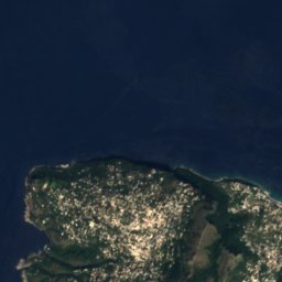
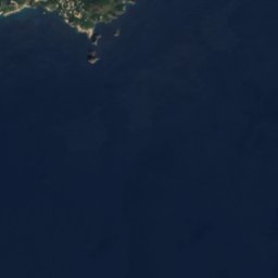
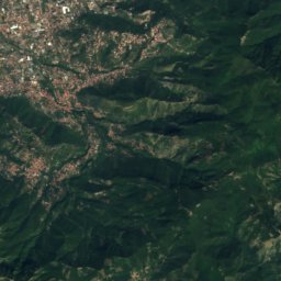
Grotta del PiscoCave0.9 kmWGrotta del Pisco
Satellite: Sentinel-2 cloudless 2016 by EOX IT Services GmbH · CC BY 4.0 · Contains modified Copernicus Sentinel data 2016
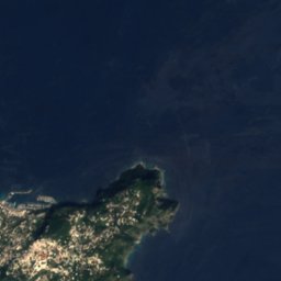
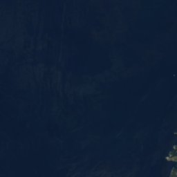
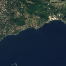
Scoglio Unghia MarinaIsland1.1 kmSEScoglio Unghia Marina
Photo: Wolfgang Moroder · CC BY-SA 3.0 · Wikimedia CommonsReport this photo · linked, not stored
Grotta VerdeCave1.6 kmSWGrotta Verde
Photo: Alessio Maffeis from Stockholm, Sweden · CC BY 2.0 · Wikimedia CommonsReport this photo · linked, not stored
FaraglioniIsland1.9 kmSEFaraglioni
Satellite: Sentinel-2 cloudless 2016 by EOX IT Services GmbH · CC BY 4.0 · Contains modified Copernicus Sentinel data 2016
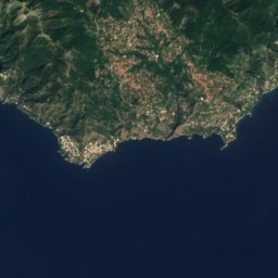
Grotta di MatromaniaCave1.9 kmEGrotta di Matromania
Summits nearbyMountains of Italy

Satellite: Sentinel-2 cloudless 2016 by EOX IT Services GmbH · CC BY 4.0 · Contains modified Copernicus Sentinel data 2016

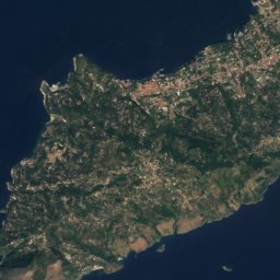
Monte Solaro1.0 km SW589 mJuly 24°Monte Solaro
Satellite: Sentinel-2 cloudless 2016 by EOX IT Services GmbH · CC BY 4.0 · Contains modified Copernicus Sentinel data 2016

Monte Vico Alvano19 km NE532 mJuly 24°Monte Vico Alvano
Stay nearby

Towns close by

Capri
Photo: Berthold Werner · CC BY-SA 3.0 · Wikimedia CommonsReport this photo · linked, not stored

Capri

Campania · 0.8 km E
23°Oct high
10wet days
77score
Capri
Anacapri
Photo: Elenagm · CC BY 3.0 · Wikimedia CommonsReport this photo · linked, not stored

Anacapri

Campania · 1.8 km W
22°Oct high
10wet days
77score
Anacapri
Sant'Agata sui Due Golfi
Photo: Marcuscalabresus · CC BY-SA 3.0 · Wikimedia CommonsReport this photo · linked, not stored

Sant'Agata sui Due Golfi

Campania · 13 km NE
21°Oct high
10wet days
77score
Sant'Agata sui Due Golfi
Massa Lubrense
Photo: Berthold Werner · CC BY-SA 3.0 · Wikimedia CommonsReport this photo · linked, not stored

Massa Lubrense

Campania · 13 km NE
21°Oct high
10wet days
77score
Massa Lubrense
Around here

Capri and around

Capri
Photo: Berthold Werner · CC BY-SA 3.0 · Wikimedia CommonsReport this photo · linked, not stored

Capri

Campania · Italy
May–Julbest months
27°July high
142 maltitude
Capri

Nature

Blue Grotto
Photo: Elenagm · CC BY-SA 4.0 · Wikimedia CommonsReport this photo · linked, not stored
3.4 km W

Blue Grotto

Cave
Blue Grotto
Grotta Verde
Photo: Wolfgang Moroder · CC BY-SA 3.0 · Wikimedia CommonsReport this photo · linked, not stored
2.2 km SW

Grotta Verde

Cave
Grotta Verde
Satellite: Sentinel-2 cloudless 2016 by EOX IT Services GmbH · CC BY 4.0 · Contains modified Copernicus Sentinel data 2016
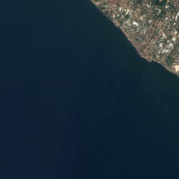
1.1 km E

Grotta di Matromania

Cave
Grotta di Matromania

Mountains

Monte Sant'Angelo a Tre Pizzi
Photo: Francesco Cosentino · CC BY-SA 4.0 · Wikimedia CommonsReport this photo · linked, not stored
25 km NE

Monte Sant'Angelo a Tre Pizzi

1,444 m · Monti Lattari
Monte Sant'Angelo a Tre Pizzi
Satellite: Sentinel-2 cloudless 2016 by EOX IT Services GmbH · CC BY 4.0 · Contains modified Copernicus Sentinel data 2016
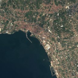
25 km NE

Monte di Mezzo, Campania

1,425 m · Monti Lattari
Monte di Mezzo, Campania
Satellite: Sentinel-2 cloudless 2016 by EOX IT Services GmbH · CC BY 4.0 · Contains modified Copernicus Sentinel data 2016
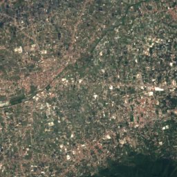
25 km NE

Monte Caliello

1,359 m · Monti Lattari
Monte Caliello

Heritage

Chiesa di San Michele Arcangelo, Anacapri
Photo: MentNFG · CC BY-SA 4.0 · Wikimedia CommonsReport this photo · linked, not stored
2.2 km W

Chiesa di San Michele Arcangelo, Anacapri

Italian national heritage · 1698
Chiesa di San Michele Arcangelo, Anacapri
Villa Jovis
Photo: Buckeye~commonswiki · CC BY-SA 3.0 · Wikimedia CommonsReport this photo · linked, not stored
1.9 km NE

Villa Jovis

Italian national heritage · 27
Villa Jovis
Certosa di San Giacomo
Photo: Norberto Chavez-Tapia · CC BY-SA 2.0 · Wikimedia CommonsReport this photo · linked, not stored
0.4 km SE

Certosa di San Giacomo

Italian national heritage · 1371
Certosa di San Giacomo

Museums

Villa San Michele
Photo: Berthold Werner · CC BY-SA 3.0 · Wikimedia CommonsReport this photo · linked, not stored
1.7 km NW

Villa San Michele

Art museum
Villa San Michele
Spazio Cerio (Capri, Italy)
Photo: Spazio Cerio (Capri, Italy) · CC0 · Wikimedia CommonsReport this photo · linked, not stored
0.3 km SE

Spazio Cerio (Capri, Italy)

Natural history museum
Spazio Cerio (Capri, Italy)
Villa Damecuta
Photo: elisabetta_monaco · CC BY-SA 2.0 · Wikimedia CommonsReport this photo · linked, not stored
2.5 km W

Villa Damecuta

Archaeological park
Villa Damecuta