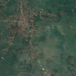
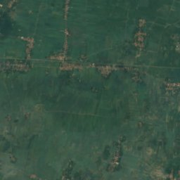
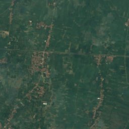
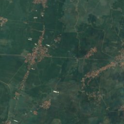
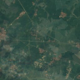
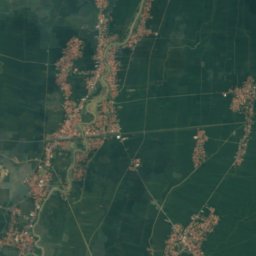
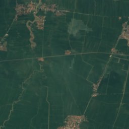
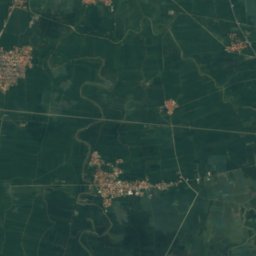
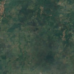
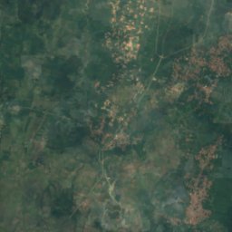
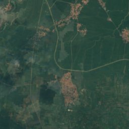
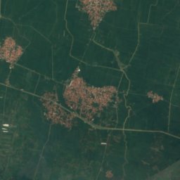
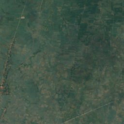
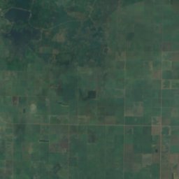
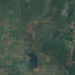
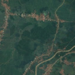
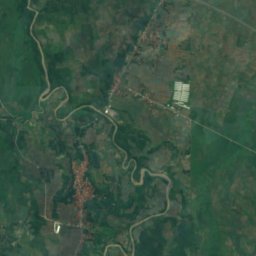
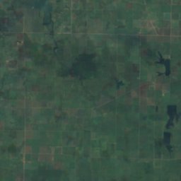
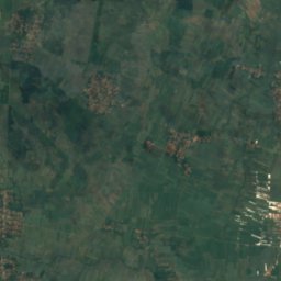
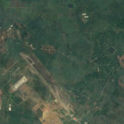
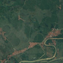
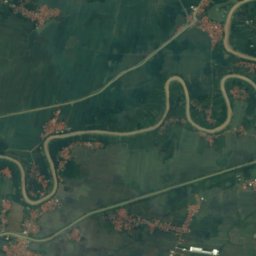
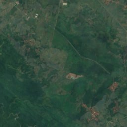
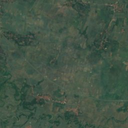
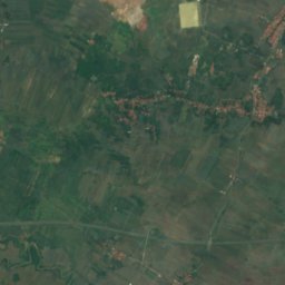
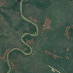
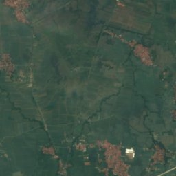
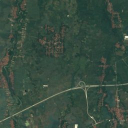
Satellite: Sentinel-2 cloudless 2016 by EOX IT Services GmbH · CC BY 4.0 · Contains modified Copernicus Sentinel data 2016
LakeJatiwangi, West Java
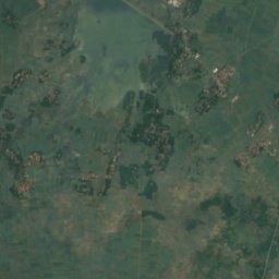
Rawa Cicadas, West Java
Lake31 m elevationBest Jun–Aug
Elevation31 mabove sea level
Area–surface
Nearest townJatiwangi20 km
6.60° S, 108.14° EElevation 31 mUTC+7 · Western Indonesia Time
When to goJatiwangi · weather score
Best timeJun–Aug
October: high / low33° / 24°
Lake
Rawa Cicadas, West Java in brief
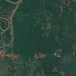
Rawa Cicadas, West Java is a lake in Jatiwangi, West Java, Indonesia.
It lies at 31 m above sea level.
The nearest town is Jatiwangi, 20 km to the SE, where the weather is best in June, July and August.
Weather nearby now
Forecast for Jatiwangi33°
Showers now
Today
29 Oct
34°
26°
10 mm
Fri
30 Oct
33°
26°
17 mm
Sat
31 Oct
34°
27°
9 mm
Sun
1 Nov
34°
25°
6 mm
Mon
2 Nov
33°
26°
10 mm
Model run 12:00 UTCRefreshed several times a day
Map
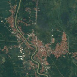
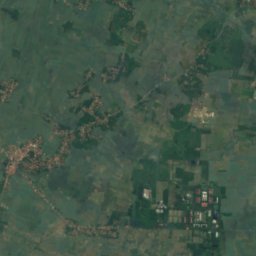
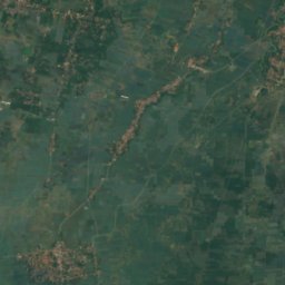
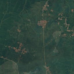
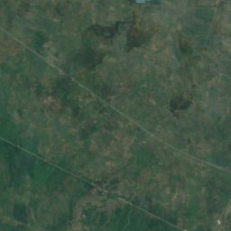
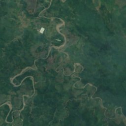
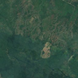
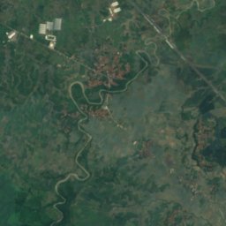
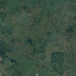
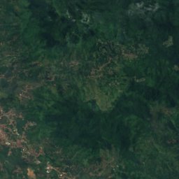
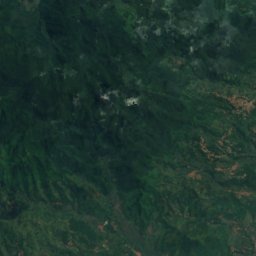
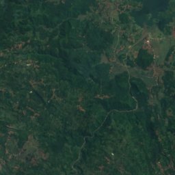
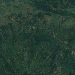
Rawa Cicadas, West Java from above
Nature nearbyAll of Indonesia
Satellite: Sentinel-2 cloudless 2016 by EOX IT Services GmbH · CC BY 4.0 · Contains modified Copernicus Sentinel data 2016
Satellite: Sentinel-2 cloudless 2016 by EOX IT Services GmbH · CC BY 4.0 · Contains modified Copernicus Sentinel data 2016
Satellite: Sentinel-2 cloudless 2016 by EOX IT Services GmbH · CC BY 4.0 · Contains modified Copernicus Sentinel data 2016
Satellite: Sentinel-2 cloudless 2016 by EOX IT Services GmbH · CC BY 4.0 · Contains modified Copernicus Sentinel data 2016
Satellite: Sentinel-2 cloudless 2016 by EOX IT Services GmbH · CC BY 4.0 · Contains modified Copernicus Sentinel data 2016
Satellite: Sentinel-2 cloudless 2016 by EOX IT Services GmbH · CC BY 4.0 · Contains modified Copernicus Sentinel data 2016
Stay nearby
Towns close by


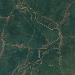
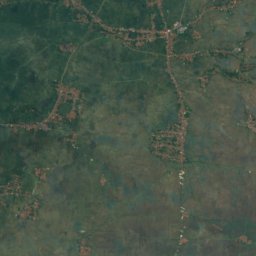
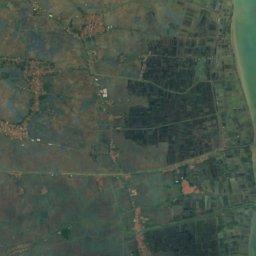
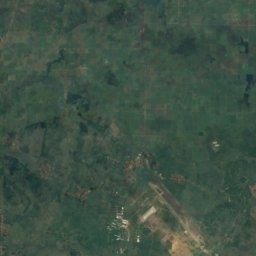
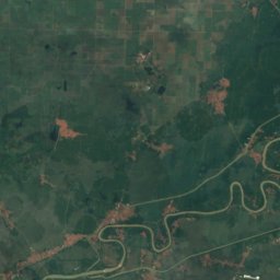
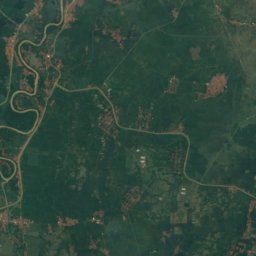
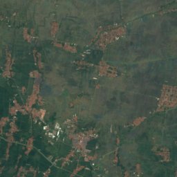
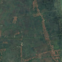
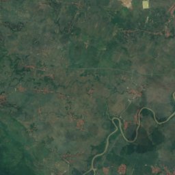
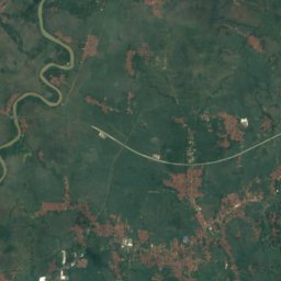
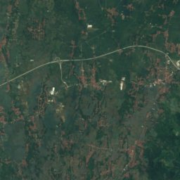
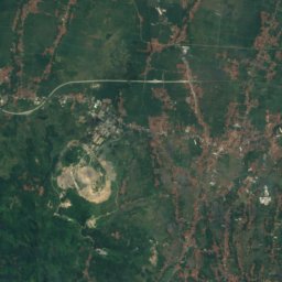
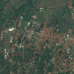
Satellite: Sentinel-2 cloudless 2016 by EOX IT Services GmbH · CC BY 4.0 · Contains modified Copernicus Sentinel data 2016
Arjawinangun
West Java · 31 km E
31°Oct high
22wet days
33score

Around here
Jatiwangi and around
Nature
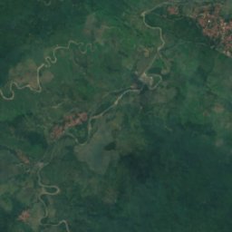
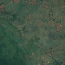
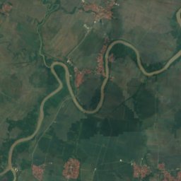
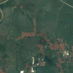
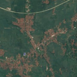
Satellite: Sentinel-2 cloudless 2016 by EOX IT Services GmbH · CC BY 4.0 · Contains modified Copernicus Sentinel data 2016
Bangawanburung
Lake · 29 m
Satellite: Sentinel-2 cloudless 2016 by EOX IT Services GmbH · CC BY 4.0 · Contains modified Copernicus Sentinel data 2016
Rawa Jawura
Lake · 25 m
Satellite: Sentinel-2 cloudless 2016 by EOX IT Services GmbH · CC BY 4.0 · Contains modified Copernicus Sentinel data 2016
Rawa Cimaneuh
Lake · 25 m
Mountains

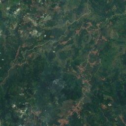
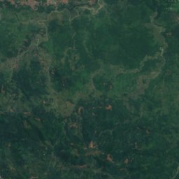
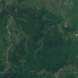
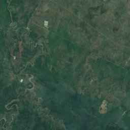
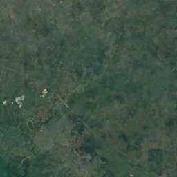
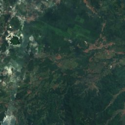
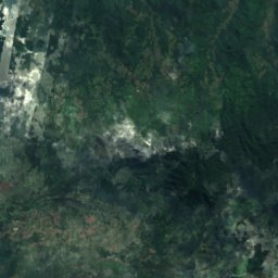
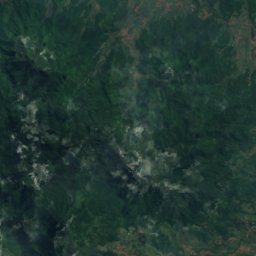
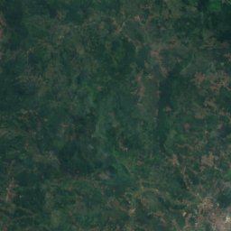
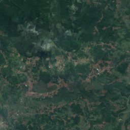
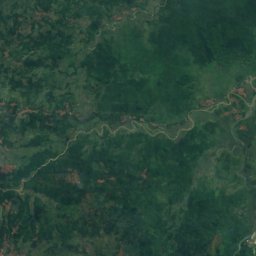
Satellite: Sentinel-2 cloudless 2016 by EOX IT Services GmbH · CC BY 4.0 · Contains modified Copernicus Sentinel data 2016
Mountain Tampomas
1,684 m
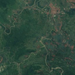
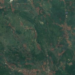
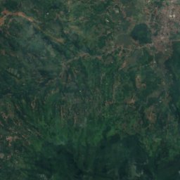
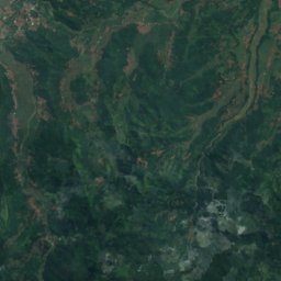
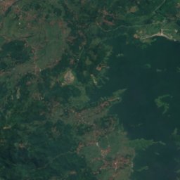
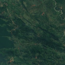
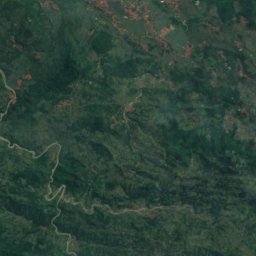
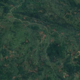
Satellite: Sentinel-2 cloudless 2016 by EOX IT Services GmbH · CC BY 4.0 · Contains modified Copernicus Sentinel data 2016
Pasir Kerud, Sumedang
313 m
Heritage

Kelenteng Hok Tek Cheng Sin Majalengka
cultural properties of Indonesia


Satellite: Sentinel-2 cloudless 2016 by EOX IT Services GmbH · CC BY 4.0 · Contains modified Copernicus Sentinel data 2016
Gedung Jangkung Majalengka
cultural properties of Indonesia