
Photo: Crisco 1492 · CC BY-SA 4.0 · Wikimedia Commons
Codé RiverReport this photo · linked, not stored
Codé RiverReport this photo · linked, not stored

Photo: Midori · CC BY 3.0 · Wikimedia Commons
Parangtritis BeachReport this photo · linked, not stored
Parangtritis BeachParangtritis BeachReport this photo · linked, not stored
RiverBantul, Yogyakarta
Codé River
RiverBest Jun–Aug
Elevation–above sea level
Area–surface
Nearest townBantul6.4 km
7.89° S, 110.39° EUTC+7 · Western Indonesia Time
When to goBantul · weather score
Best timeJun–Aug
October: high / low29° / 23°
River
Codé River in brief
Codé River is a river in Bantul, Yogyakarta, Indonesia.
The nearest town in the atlas is Bantul, 6.4 km to the W, where the weather is best in June, July and August.
Weather nearby now
Forecast for Bantul26°
Partly cloudy now
Today
22 Oct
30°
24°
Fri
23 Oct
29°
24°
1 mm
Sat
24 Oct
29°
23°
1 mm
Sun
25 Oct
29°
24°
2 mm
Mon
26 Oct
29°
24°
2 mm
Model run 00:00 UTCRefreshed several times a day
Map
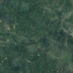
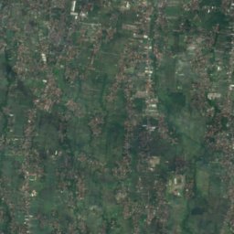
Codé River from above
Nature nearbyAll of Indonesia
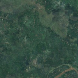
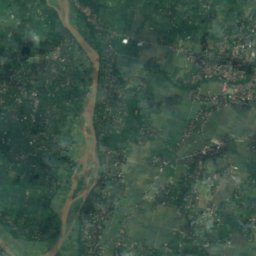
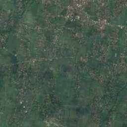
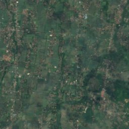
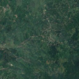
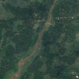
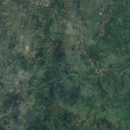
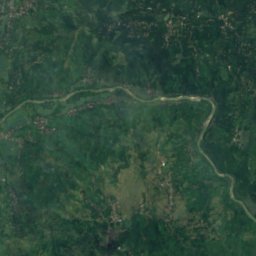
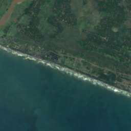
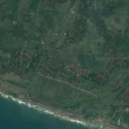
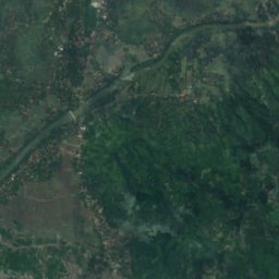
Satellite: Sentinel-2 cloudless 2016 by EOX IT Services GmbH · CC BY 4.0 · Contains modified Copernicus Sentinel data 2016
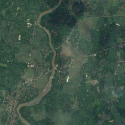
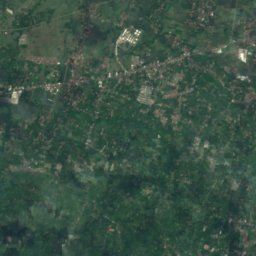
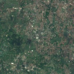
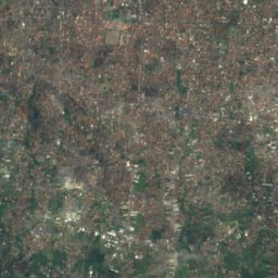
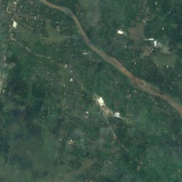
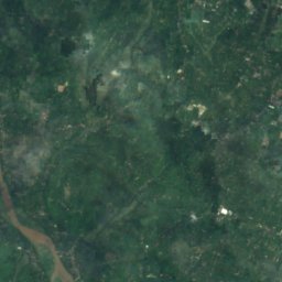
Satellite: Sentinel-2 cloudless 2016 by EOX IT Services GmbH · CC BY 4.0 · Contains modified Copernicus Sentinel data 2016
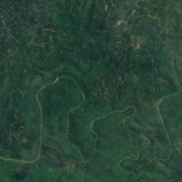

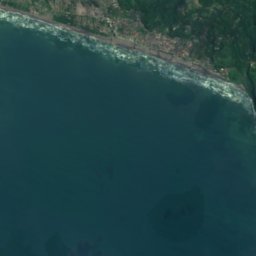
Satellite: Sentinel-2 cloudless 2016 by EOX IT Services GmbH · CC BY 4.0 · Contains modified Copernicus Sentinel data 2016
Satellite: Sentinel-2 cloudless 2016 by EOX IT Services GmbH · CC BY 4.0 · Contains modified Copernicus Sentinel data 2016

Satellite: Sentinel-2 cloudless 2016 by EOX IT Services GmbH · CC BY 4.0 · Contains modified Copernicus Sentinel data 2016

Stay nearby
Towns close by

Photo: Fandy Aprianto Rohman · CC BY-SA 4.0 · Wikimedia CommonsReport this photo · linked, not stored
Bantul
Yogyakarta · 6.4 km W
29°Oct high
19wet days
45score

Photo: Fandy Aprianto Rohman · CC BY-SA 4.0 · Wikimedia CommonsReport this photo · linked, not stored
Pundong
Yogyakarta · 7.7 km SW
28°Oct high
19wet days
46score

Photo: Photo by CEphoto, Uwe Aranas or alternatively © CEphoto, Uwe Aranas · CC BY-SA 3.0 · Wikimedia CommonsReport this photo · linked, not stored
Yogyakarta
Yogyakarta · 11 km N
29°Oct high
19wet days
42score
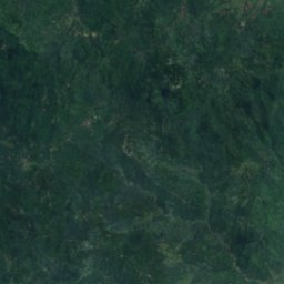
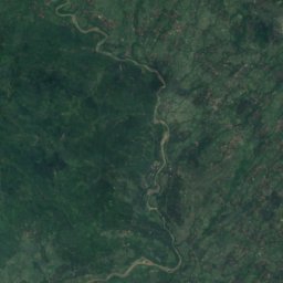
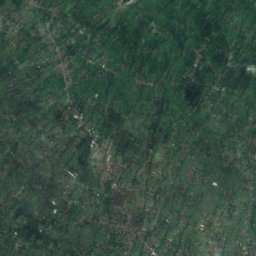
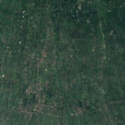
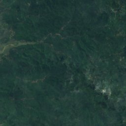
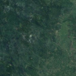
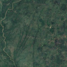
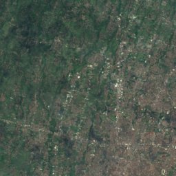
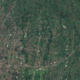
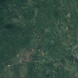
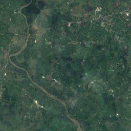
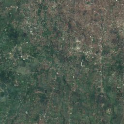
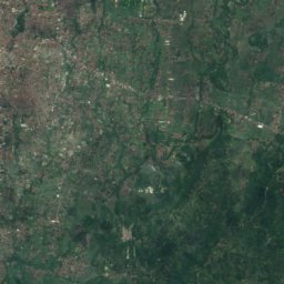
Satellite: Sentinel-2 cloudless 2016 by EOX IT Services GmbH · CC BY 4.0 · Contains modified Copernicus Sentinel data 2016
Gamping Lor
Yogyakarta · 13 km NW
29°Oct high
19wet days
43score
Around here
Bantul and around
Photo: Fandy Aprianto Rohman · CC BY-SA 4.0 · Wikimedia CommonsReport this photo · linked, not stored
Bantul
Yogyakarta · Indonesia
Jun–Augbest months
28°July high
49 maltitude
Nature
Satellite: Sentinel-2 cloudless 2016 by EOX IT Services GmbH · CC BY 4.0 · Contains modified Copernicus Sentinel data 2016
Oyo River
River
Satellite: Sentinel-2 cloudless 2016 by EOX IT Services GmbH · CC BY 4.0 · Contains modified Copernicus Sentinel data 2016
Selarong Cave
Cave

Mountains

Photo: Muhammad Harits Fadhli · CC BY-SA 4.0 · Wikimedia CommonsReport this photo · linked, not stored
Suroloyo Peak
1,019 m
Heritage

Photo: Photo by CEphoto, Uwe Aranas or alternatively © CEphoto, Uwe Aranas · CC BY-SA 3.0 · Wikimedia CommonsReport this photo · linked, not stored
The Cosmological Axis of Yogyakarta and its Historic Landmarks
World Heritage Site
Photo: Fandy Aprianto Rohman · CC BY-SA 4.0 · Wikimedia CommonsReport this photo · linked, not stored
Pajimatan Imogiri Mosque
Ministry of Primary and Secondary Education · 1650



Satellite: Sentinel-2 cloudless 2016 by EOX IT Services GmbH · CC BY 4.0 · Contains modified Copernicus Sentinel data 2016
Pathok Negara Taqwa Wonokromo Mosque
Ministry of Primary and Secondary Education · 1755
Museums
Satellite: Sentinel-2 cloudless 2016 by EOX IT Services GmbH · CC BY 4.0 · Contains modified Copernicus Sentinel data 2016
Tembi Museum
1999
Satellite: Sentinel-2 cloudless 2016 by EOX IT Services GmbH · CC BY 4.0 · Contains modified Copernicus Sentinel data 2016
Museum Rumah Budaya Tembi





Satellite: Sentinel-2 cloudless 2016 by EOX IT Services GmbH · CC BY 4.0 · Contains modified Copernicus Sentinel data 2016