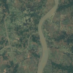
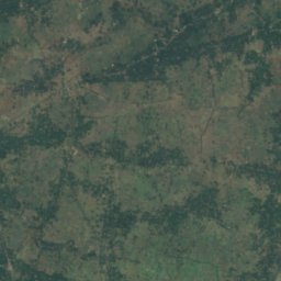
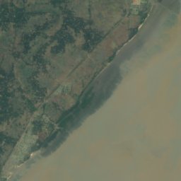


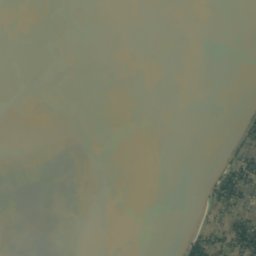


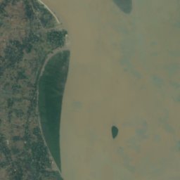
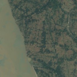
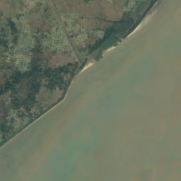




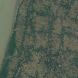
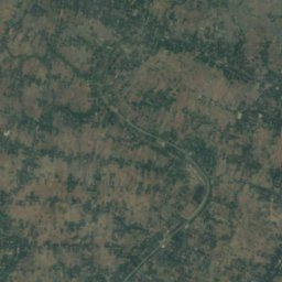
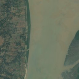
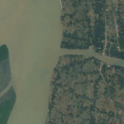




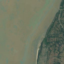


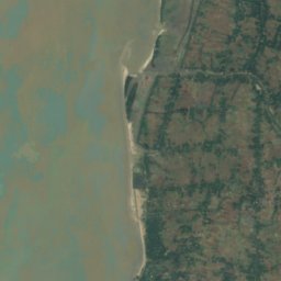
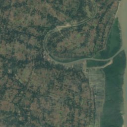
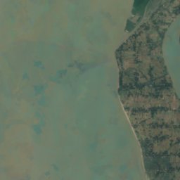
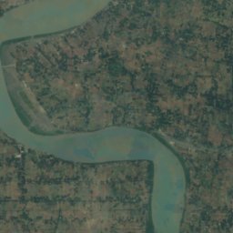
Satellite: Sentinel-2 cloudless 2016 by EOX IT Services GmbH · CC BY 4.0 · Contains modified Copernicus Sentinel data 2016
IslandKakdwip, West Bengal
Sāgar Flat
IslandBest Jan–Feb · Dec
Elevation–above sea level
Area–surface
Nearest townKakdwip25 km
21.70° N, 88.04° EUTC+5:30 · India Standard Time
When to goKakdwip · weather score
Best timeJan–Feb · Dec
October: high / low30° / 25°
Island
Sāgar Flat in brief
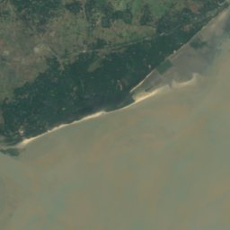
Sāgar Flat is an island in Kakdwip, West Bengal, India.
The nearest town in the atlas is Kakdwip, 25 km to the NE, where the weather is best in January, February and December.
Weather nearby now
Forecast for Kakdwip27°
Clear now
Today
22 Oct
31°
26°
Fri
23 Oct
30°
24°
Sat
24 Oct
30°
23°
Sun
25 Oct
30°
23°
Mon
26 Oct
31°
23°
Model run 00:00 UTCRefreshed several times a day
Map
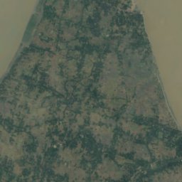
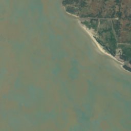
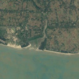
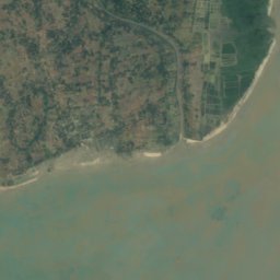
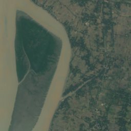
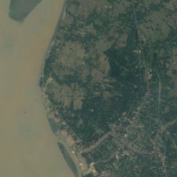
Sāgar Flat from above
Nature nearbyAll of India
Satellite: Sentinel-2 cloudless 2016 by EOX IT Services GmbH · CC BY 4.0 · Contains modified Copernicus Sentinel data 2016
Satellite: Sentinel-2 cloudless 2016 by EOX IT Services GmbH · CC BY 4.0 · Contains modified Copernicus Sentinel data 2016
Satellite: Sentinel-2 cloudless 2016 by EOX IT Services GmbH · CC BY 4.0 · Contains modified Copernicus Sentinel data 2016
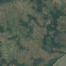
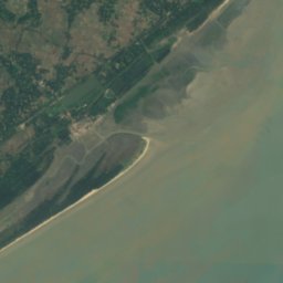
Satellite: Sentinel-2 cloudless 2016 by EOX IT Services GmbH · CC BY 4.0 · Contains modified Copernicus Sentinel data 2016
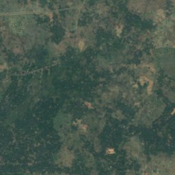
Satellite: Sentinel-2 cloudless 2016 by EOX IT Services GmbH · CC BY 4.0 · Contains modified Copernicus Sentinel data 2016
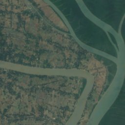
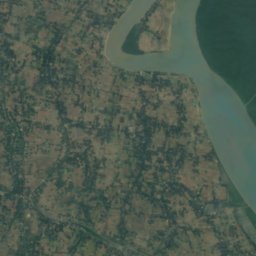
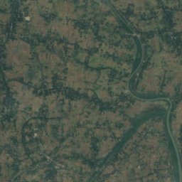
Satellite: Sentinel-2 cloudless 2016 by EOX IT Services GmbH · CC BY 4.0 · Contains modified Copernicus Sentinel data 2016


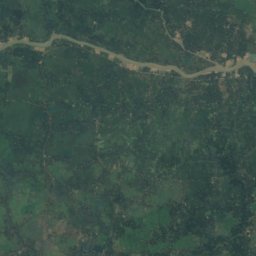
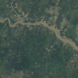
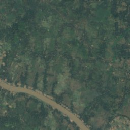
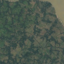
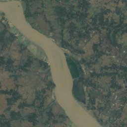
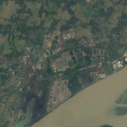
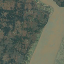
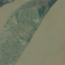
Around here
Kakdwip and around
Nature

Satellite: Sentinel-2 cloudless 2016 by EOX IT Services GmbH · CC BY 4.0 · Contains modified Copernicus Sentinel data 2016
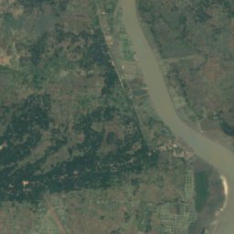
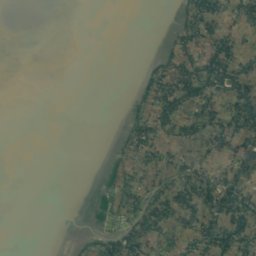
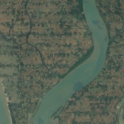
Muri Ganga River
River
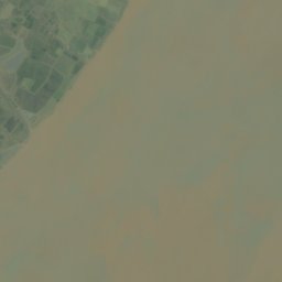
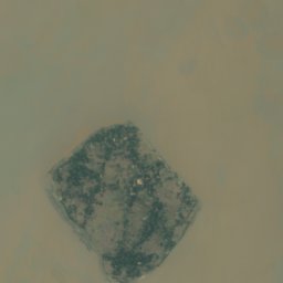



Satellite: Sentinel-2 cloudless 2016 by EOX IT Services GmbH · CC BY 4.0 · Contains modified Copernicus Sentinel data 2016
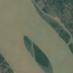
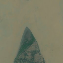
Kabasgadi Island
Island