
Photo: Atarax42 · CC BY-SA 3.0 · Wikimedia Commons
Gangotri GlacierReport this photo · linked, not stored
Gangotri GlacierReport this photo · linked, not stored

Photo: I, Peter Andersen · CC BY-SA 3.0 · Wikimedia Commons
KedartalReport this photo · linked, not stored
KedartalKedartalReport this photo · linked, not stored
 Kedarnath

Photo: Asish Das75 · CC BY-SA 4.0 · Wikimedia Commons
Sri KailashReport this photo · linked, not stored
Sri KailashSri KailashReport this photo · linked, not stored

Photo: Kailas98 · CC BY-SA 3.0 · Wikimedia Commons
Thalay SagarReport this photo · linked, not stored
Thalay SagarThalay SagarReport this photo · linked, not stored
GlacierGangotri, Uttarakhand
Gangotri Glacier
GlacierBest Oct–Dec
Elevation–above sea level
Area–surface
Nearest townGangotri4.1 km
30.98° N, 78.98° EUTC+5:30 · India Standard Time
When to goGangotri · weather score
Best timeOct–Dec
October: high / low9° / -3°
Glacier
Gangotri Glacier in brief
Gangotri Glacier is a glacier in Gangotri, Uttarakhand, India.
The nearest town in the atlas is Gangotri, 4.1 km to the W, where the weather is best in October, November and December.
Weather nearby now
Forecast for Gangotri-2°
Cloudy now
Today
22 Oct
7°
-11°
1 mm
Fri
23 Oct
6°
-13°
Sat
24 Oct
5°
-14°
2 mm
Sun
25 Oct
5°
-14°
Mon
26 Oct
7°
-16°
Model run 00:00 UTCRefreshed several times a day
When to go
Climate of GangotriThe best months around Gangotri Glacier
Month score in Gangotri
Comfort, dry days and sunshine · out of 10049
Jan
47
Feb
47
Mar
47
Apr
44
May
42
Jun
46
Jul
46
Aug
45
Sep
53
Oct
56
Nov
54
Dec
Map
Gangotri Glacier from above
Nature nearbyAll of India

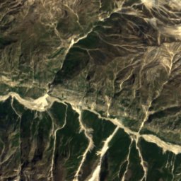
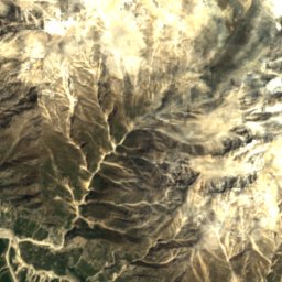
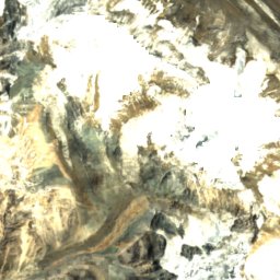
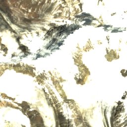

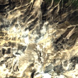
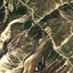
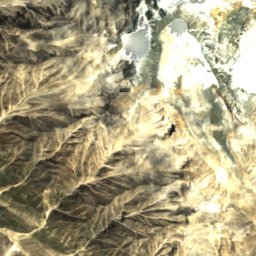
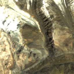
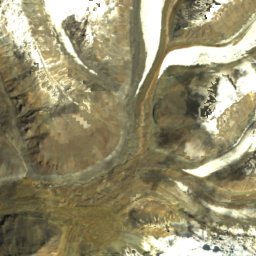
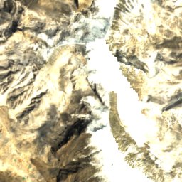
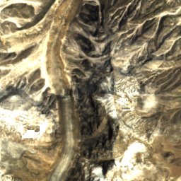
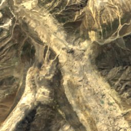
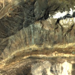
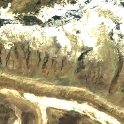
Satellite: Sentinel-2 cloudless 2016 by EOX IT Services GmbH · CC BY 4.0 · Contains modified Copernicus Sentinel data 2016
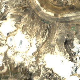
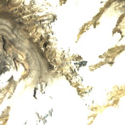
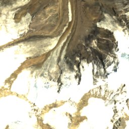
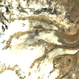
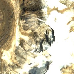
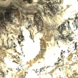

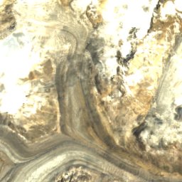
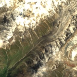
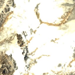
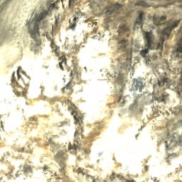
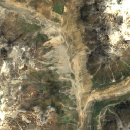
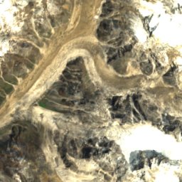
Satellite: Sentinel-2 cloudless 2016 by EOX IT Services GmbH · CC BY 4.0 · Contains modified Copernicus Sentinel data 2016
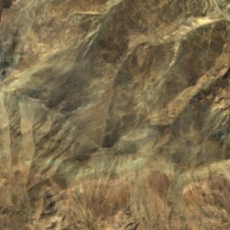
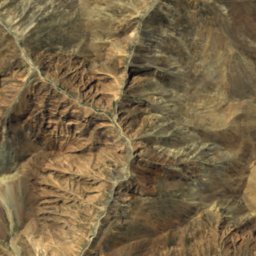
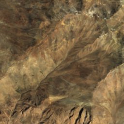
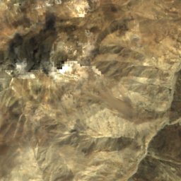
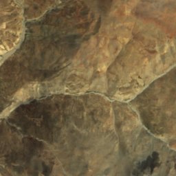
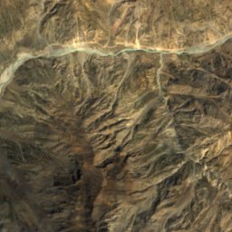
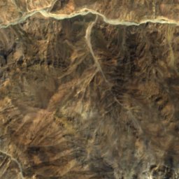
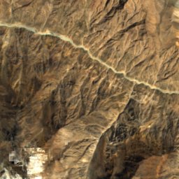
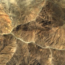
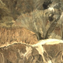
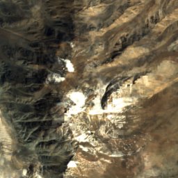
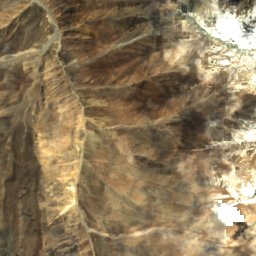
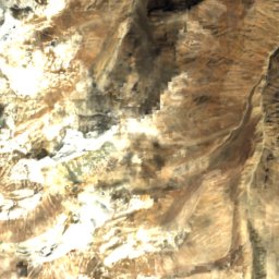
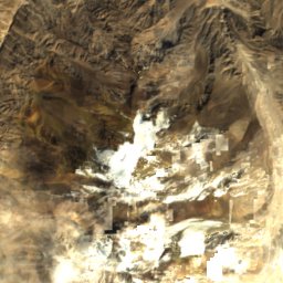
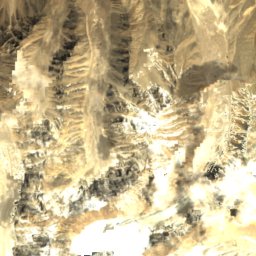
Satellite: Sentinel-2 cloudless 2016 by EOX IT Services GmbH · CC BY 4.0 · Contains modified Copernicus Sentinel data 2016
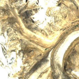
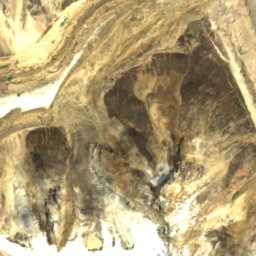
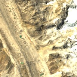
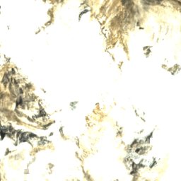
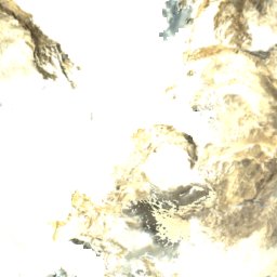
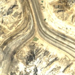
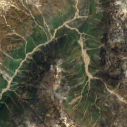
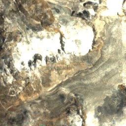
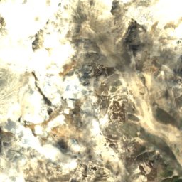
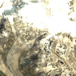
Satellite: Sentinel-2 cloudless 2016 by EOX IT Services GmbH · CC BY 4.0 · Contains modified Copernicus Sentinel data 2016
Summits nearbyMountains of India


Photo: Sharada Prasad CS from Berkeley, India · CC BY 2.0 · Wikimedia CommonsReport this photo · linked, not stored
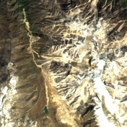
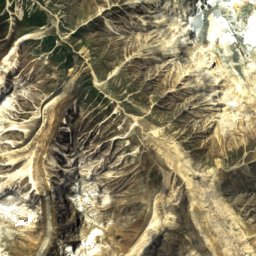
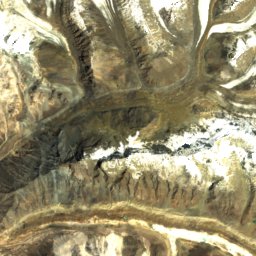
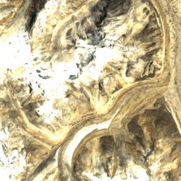
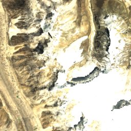
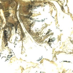
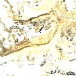
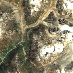
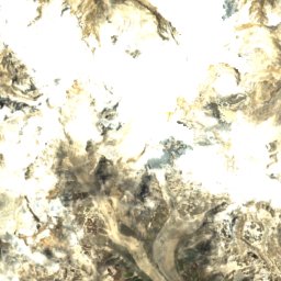
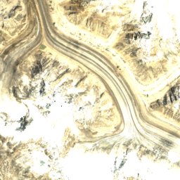
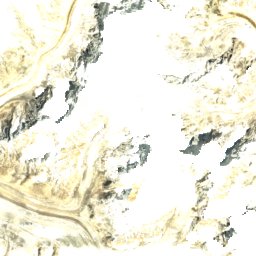
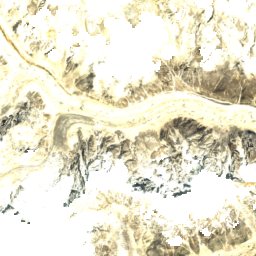
Satellite: Sentinel-2 cloudless 2016 by EOX IT Services GmbH · CC BY 4.0 · Contains modified Copernicus Sentinel data 2016
Satellite: Sentinel-2 cloudless 2016 by EOX IT Services GmbH · CC BY 4.0 · Contains modified Copernicus Sentinel data 2016


Around here
Gangotri and around
Nature
Satellite: Sentinel-2 cloudless 2016 by EOX IT Services GmbH · CC BY 4.0 · Contains modified Copernicus Sentinel data 2016
Gangotri National Park
National park


