Skip to content
Destinations
Weather & climate
Nature
Outdoors
Culture
Events
Sky & live
Dwarka River
Photo: Royroydeb · CC BY-SA 3.0 · Wikimedia Commons
Dwarka RiverReport this photo · linked, not stored
Brahmani River (Birbhum)
Photo: Ashish itct · CC BY-SA 4.0 · Wikimedia Commons
Brahmani River (Birbhum)Report this photo · linked, not stored
Brahmani River (Birbhum)
RiverRampurhat, West Bengal

Dwarka River

RiverBest Jan–Feb · Dec
Elevation–above sea level
Area–surface
Nearest townRampurhat7.7 km
24.11° N, 87.80° EUTC+5:30 · India Standard Time
When to goRampurhat · weather score
JanFebMarAprMayJunJulAugSepOctNovDec50October
Best timeJan–Feb · Dec
October: high / low30° / 22°
River

Dwarka River in brief

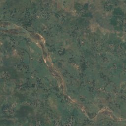
Dwarka River is a river in Rampurhat, West Bengal, India.

The nearest town in the atlas is Rampurhat, 7.7 km to the N, where the weather is best in January, February and December.

Rampurhat: weather and travel guide

Weather nearby now

Forecast for Rampurhat
25°
Clear now
Wind3 km/h
Humidity80%
Cloud cover5%
Today
22 Oct
30°
23°
Fri
23 Oct
30°
21°
Sat
24 Oct
29°
21°
Sun
25 Oct
29°
21°
Mon
26 Oct
30°
20°

Model run 00:00 UTCRefreshed several times a day

When to go

The best months around Dwarka River

Climate of Rampurhat

Month score in Rampurhat

Comfort, dry days and sunshine · out of 100
Map

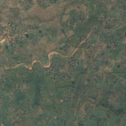
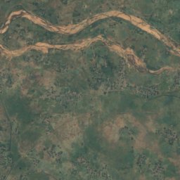
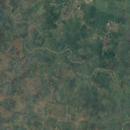
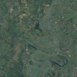
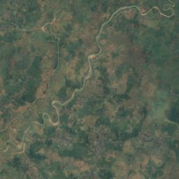
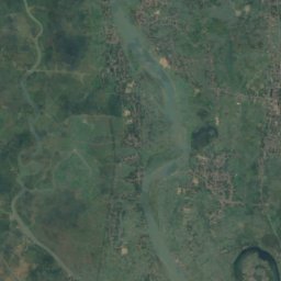
Dwarka River from above

Nature nearbyAll of India
Photo: Ashish itct · CC BY-SA 4.0 · Wikimedia CommonsReport this photo · linked, not stored
Brahmani River (Birbhum)River19 kmNBrahmani River (Birbhum)
Stay nearby

Towns close by
Rampurhat
Photo: Aniruddhapandey1986 · CC BY-SA 4.0 · Wikimedia CommonsReport this photo · linked, not stored

Rampurhat

West Bengal · 7.7 km N
30°Oct high
12wet days
50score
Rampurhat
Nalhati
Photo: Pinakpani · CC BY 4.0 · Wikimedia CommonsReport this photo · linked, not stored

Nalhati

West Bengal · 21 km N
30°Oct high
12wet days
51score
Nalhati
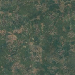
Satellite: Sentinel-2 cloudless 2016 by EOX IT Services GmbH · CC BY 4.0 · Contains modified Copernicus Sentinel data 2016

Sainthia

West Bengal · 22 km SW
31°Oct high
12wet days
48score
Sainthia
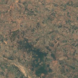
Satellite: Sentinel-2 cloudless 2016 by EOX IT Services GmbH · CC BY 4.0 · Contains modified Copernicus Sentinel data 2016

Kandi

West Bengal · 30 km SE
31°Oct high
12wet days
47score
Kandi
Around here

Rampurhat and around

Rampurhat
Photo: Aniruddhapandey1986 · CC BY-SA 4.0 · Wikimedia CommonsReport this photo · linked, not stored

Rampurhat

West Bengal · India
Jan–Feb · Decbest months
32°July high
42 maltitude
Rampurhat

Nature

Brahmani River (Birbhum)
Photo: Ashish itct · CC BY-SA 4.0 · Wikimedia CommonsReport this photo · linked, not stored
12 km NE

Brahmani River (Birbhum)

River
Brahmani River (Birbhum)

Heritage

Maluti temples
Photo: amitabho58 · CC BY-SA 3.0 · Wikimedia CommonsReport this photo · linked, not stored
12 km W

Maluti temples

State Protected Monument
Maluti temples