
Photo: Sonalyadav1234 · CC BY-SA 4.0 · Wikimedia Commons
Assi RiverReport this photo · linked, not stored
Assi RiverReport this photo · linked, not stored

Photo: Sonalyadav1234 · CC BY-SA 4.0 · Wikimedia Commons
Lahartara PondReport this photo · linked, not stored
Lahartara PondLahartara PondReport this photo · linked, not stored

Photo: Adarsh SIngh · CC BY-SA 3.0 · Wikimedia Commons
Varuna RiverReport this photo · linked, not stored
Varuna RiverVaruna RiverReport this photo · linked, not stored
RiverRamnagar, Uttar Pradesh
Assi River
RiverBest Jan–Feb · Dec
Elevation–above sea level
Length5.0 kmsource to mouth
Nearest townRamnagar2.5 km
25.28° N, 83.01° EUTC+5:30 · India Standard Time
When to goRamnagar · weather score
Best timeJan–Feb · Dec
October: high / low31° / 21°
River
Assi River in brief
Assi River is a river in Ramnagar, Uttar Pradesh, India.
The nearest town in the atlas is Ramnagar, 2.5 km to the SE, where the weather is best in January, February and December.
Assi River is 5.0 km long.
Weather nearby now
Forecast for Ramnagar25°
Clear now
Today
22 Oct
30°
21°
Fri
23 Oct
29°
20°
Sat
24 Oct
30°
20°
Sun
25 Oct
31°
21°
Mon
26 Oct
31°
20°
Model run 00:00 UTCRefreshed several times a day
When to go
Climate of RamnagarThe best months around Assi River
Month score in Ramnagar
Comfort, dry days and sunshine · out of 10095
Jan
89
Feb
64
Mar
54
Apr
46
May
27
Jun
21
Jul
25
Aug
36
Sep
67
Oct
87
Nov
98
Dec
Map
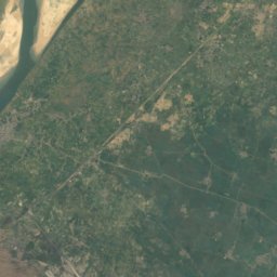
Assi River from above
Nature nearbyAll of India


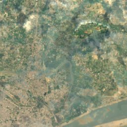
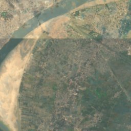
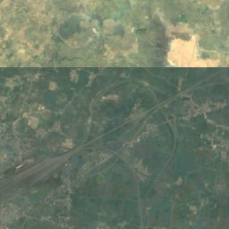
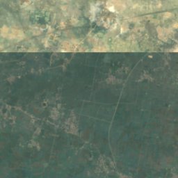
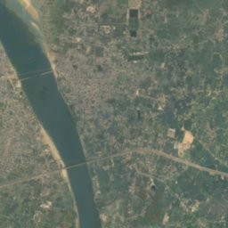
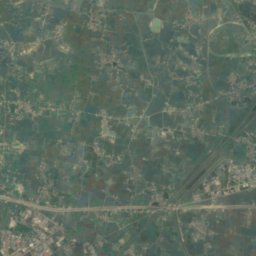
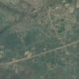
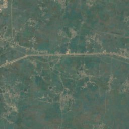
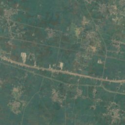
Satellite: Sentinel-2 cloudless 2016 by EOX IT Services GmbH · CC BY 4.0 · Contains modified Copernicus Sentinel data 2016
Stay nearby
Towns close by


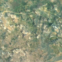
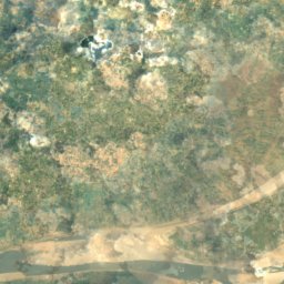
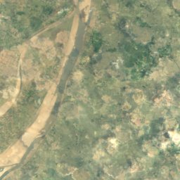
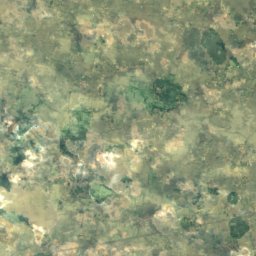
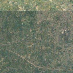
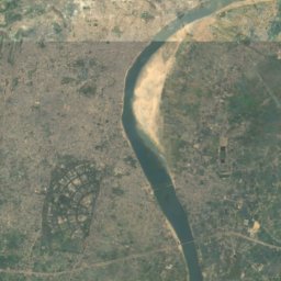
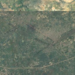
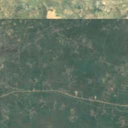
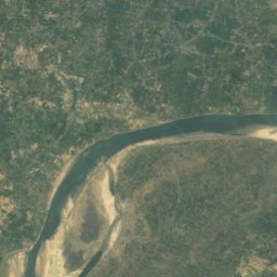
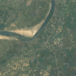
Satellite: Sentinel-2 cloudless 2016 by EOX IT Services GmbH · CC BY 4.0 · Contains modified Copernicus Sentinel data 2016
Pandit Deen Dayal Upadhyaya Nagar
Uttar Pradesh · 11 km E
31°Oct high
4wet days
68score
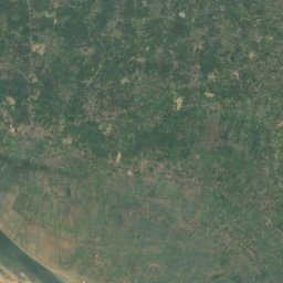
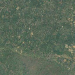
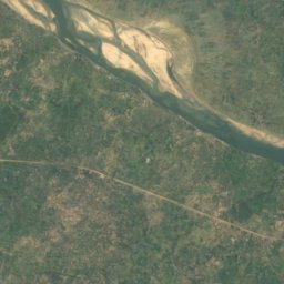
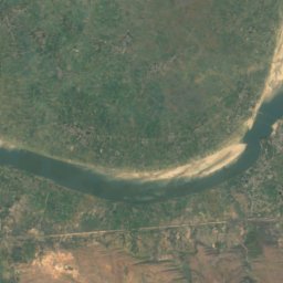
Satellite: Sentinel-2 cloudless 2016 by EOX IT Services GmbH · CC BY 4.0 · Contains modified Copernicus Sentinel data 2016
Dīkshitpur
Uttar Pradesh · 15 km S
31°Oct high
4wet days
67score
Around here
Ramnagar and around
Nature
Satellite: Sentinel-2 cloudless 2016 by EOX IT Services GmbH · CC BY 4.0 · Contains modified Copernicus Sentinel data 2016
Jagesar Tāl
Lake
Heritage
Satellite: Sentinel-2 cloudless 2016 by EOX IT Services GmbH · CC BY 4.0 · Contains modified Copernicus Sentinel data 2016
Ramnagar Fort
Monument of National Importance

Satellite: Sentinel-2 cloudless 2016 by EOX IT Services GmbH · CC BY 4.0 · Contains modified Copernicus Sentinel data 2016
Sarnath
World Heritage Site

Museums

Photo: Jeff Hart from Bloomington, IN, USA · CC BY 2.0 · Wikimedia CommonsReport this photo · linked, not stored
Bharat Kala Bhavan
1920


