

Photo: Villy · Public domain · Wikimedia Commons
Helemba IslandReport this photo · linked, not stored
Helemba IslandHelemba IslandReport this photo · linked, not stored

Photo: Szenti Tamás · CC BY-SA 4.0 · Wikimedia Commons
Matricás CaveReport this photo · linked, not stored
Matricás CaveMatricás CaveReport this photo · linked, not stored

Photo: Szenti Tamás · CC BY-SA 3.0 · Wikimedia Commons
Kis Loggia CaveReport this photo · linked, not stored
Kis Loggia CaveKis Loggia CaveReport this photo · linked, not stored

Photo: Szenti Tamás · CC BY-SA 3.0 · Wikimedia Commons
Loggia CaveReport this photo · linked, not stored
Loggia CaveLoggia CaveReport this photo · linked, not stored
RiverSzob, Pest County
Ipoly
RiverBest Apr · Sep–Oct
Elevation–above sea level
Length233 kmsource to mouth
Nearest townSzob1.6 km
47.82° N, 18.85° EUTC+2 · Central European Summer Time
When to goSzob · weather score
Best timeApr · Sep–Oct
October: high / low16° / 6°
River
Ipoly in brief
Ipoly is a river in Szob, Pest County, Hungary.
The nearest town in the atlas is Szob, 1.6 km to the E, where the weather is best in April, September and October.
Ipoly is 233 km long.
Weather nearby now
Forecast for Szob12°
Partly cloudy now
Today
22 Oct
14°
7°
14 mm
Fri
23 Oct
16°
4°
Sat
24 Oct
9°
7°
6 mm
Sun
25 Oct
15°
3°
1 mm
Mon
26 Oct
15°
5°
1 mm
Model run 00:00 UTCRefreshed several times a day
The course of the river
As mapped in OpenStreetMap, with the towns of the atlas along its banks.- 1Málinec281 m
- 2Poltár246 m
- 3Kalinovo214 m
- 4Fiľakovské Kováče181 m
- 5Holiša180 m
- 6Trebeľovce182 m
- 7Rapovce171 m
- 8Bušince162 m
- 9Ludányhalászi151 m
- 10Balassagyarmat151 m
- 11Dejtár167 m
- 12Drégelypalánk145 m
- 13Šahy143 m
- 14Salka107 m
sourcemouth (or where the mapped line leaves the country)
When to go
Climate of SzobThe best months around Ipoly
Month score in Szob
Comfort, dry days and sunshine · out of 10029
Jan
31
Feb
42
Mar
77
Apr
67
May
64
Jun
56
Jul
64
Aug
81
Sep
69
Oct
32
Nov
28
Dec
Map
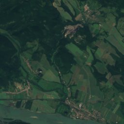
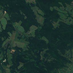
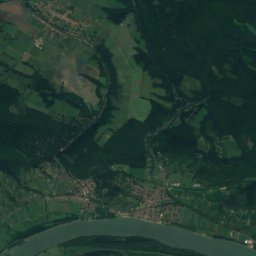
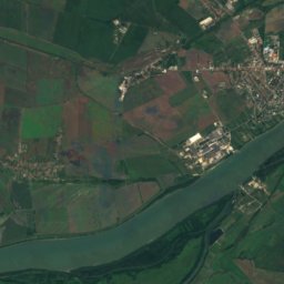
Ipoly from above
Nature nearbyAll of Hungary


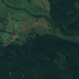
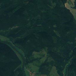
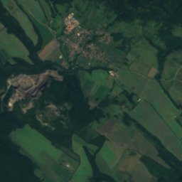
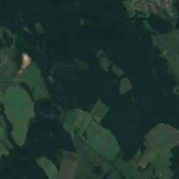
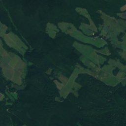
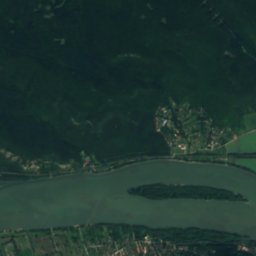
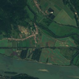
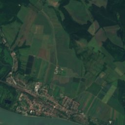
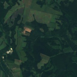
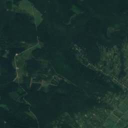
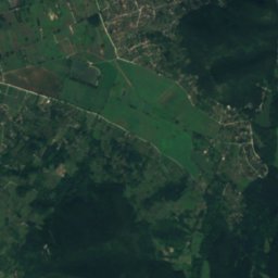
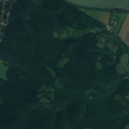
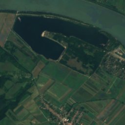
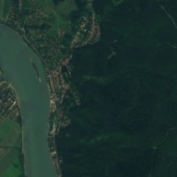
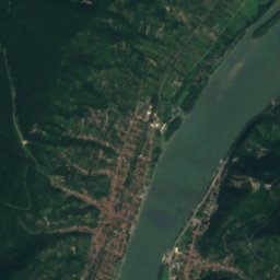
Satellite: Sentinel-2 cloudless 2016 by EOX IT Services GmbH · CC BY 4.0 · Contains modified Copernicus Sentinel data 2016


Summits nearbyMountains of Hungary

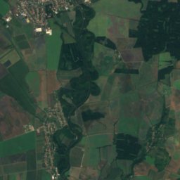
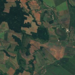
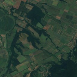
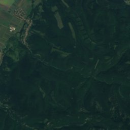
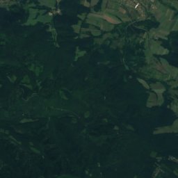
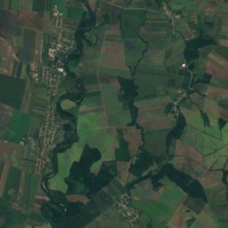
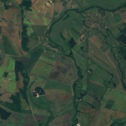
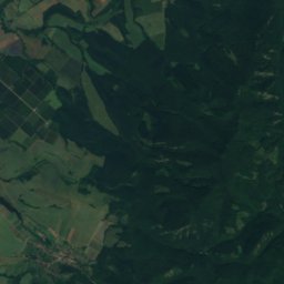
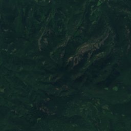
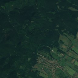
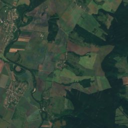
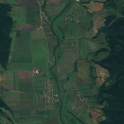
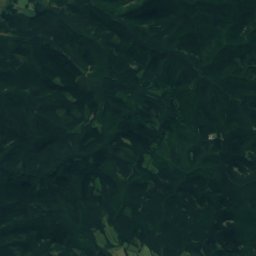
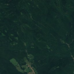
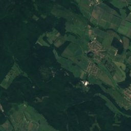
Satellite: Sentinel-2 cloudless 2016 by EOX IT Services GmbH · CC BY 4.0 · Contains modified Copernicus Sentinel data 2016


Photo: The original uploader was Kaboldy at Hungarian Wikipedia. · CC BY-SA 3.0 · Wikimedia CommonsReport this photo · linked, not stored


Stay nearby
Towns close by


Photo: Livvyfan at Hungarian Wikipedia · CC BY-SA 3.0 · Wikimedia CommonsReport this photo · linked, not stored
Ipolydamásd
Pest County · 2.6 km NW
16°Oct high
8wet days
68score

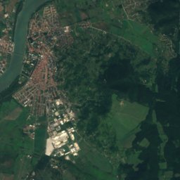
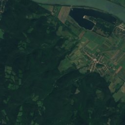
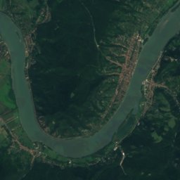
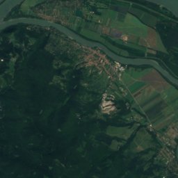
Around here
Szob and around
Nature
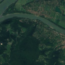
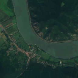
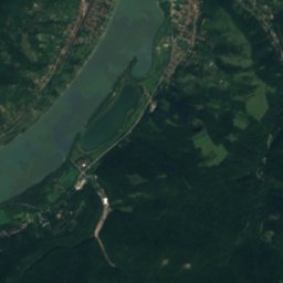
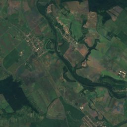
Satellite: Sentinel-2 cloudless 2016 by EOX IT Services GmbH · CC BY 4.0 · Contains modified Copernicus Sentinel data 2016
Danube-Ipoly National Park
National park
Mountains

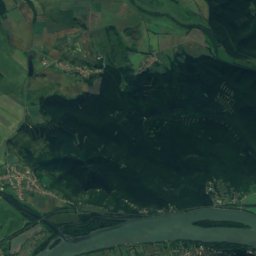
Satellite: Sentinel-2 cloudless 2016 by EOX IT Services GmbH · CC BY 4.0 · Contains modified Copernicus Sentinel data 2016
Magos-fa
916 m · Börzsöny

Heritage


Chapel of Saint Thomas Becket in Szenttamás
historic monument of Hungary


