Nature
Waters, ice and wild places of Honduras
Lakes, waterfalls, glaciers, national parks and mountain huts, each with its location, its size and the weather of the towns around it.
Lakes21with a page
Waterfalls1with a page
National parks12with a page
Beaches34with a page

Lakes
Lakes of Honduras

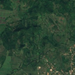
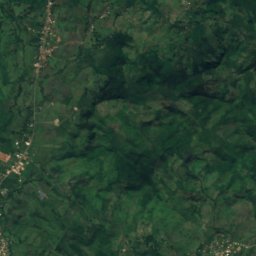
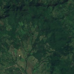
Satellite: Sentinel-2 cloudless 2016 by EOX IT Services GmbH · CC BY 4.0 · Contains modified Copernicus Sentinel data 2016
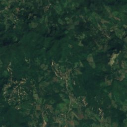
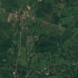
Embalse El Guayabo
El Tular, Valle Department
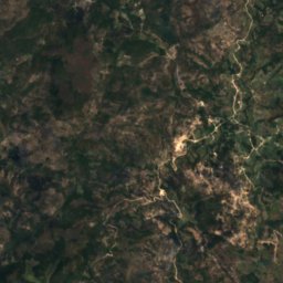
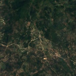
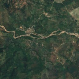
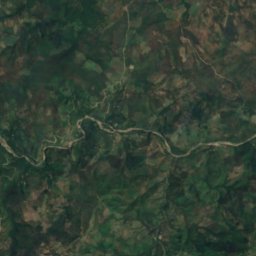
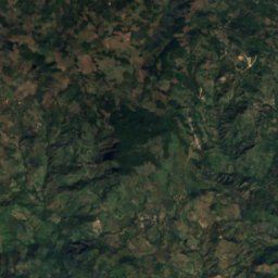
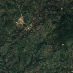
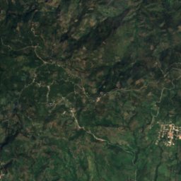
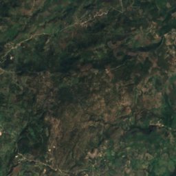
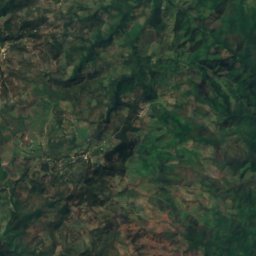
Satellite: Sentinel-2 cloudless 2016 by EOX IT Services GmbH · CC BY 4.0 · Contains modified Copernicus Sentinel data 2016
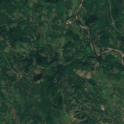
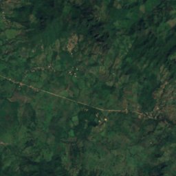
Lago Mandasta
Oropolí, El Paraíso Department
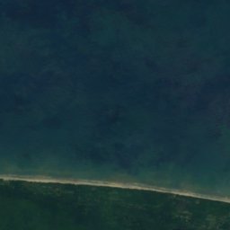
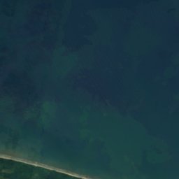



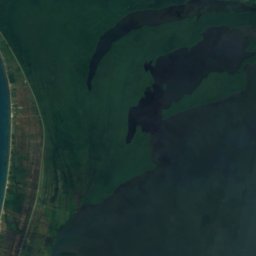
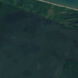
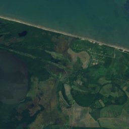
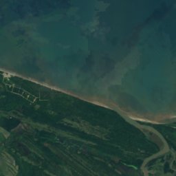
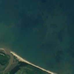
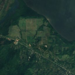
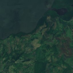
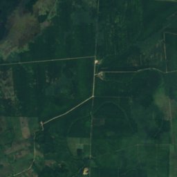
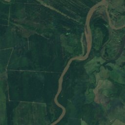
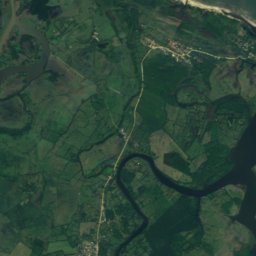
Satellite: Sentinel-2 cloudless 2016 by EOX IT Services GmbH · CC BY 4.0 · Contains modified Copernicus Sentinel data 2016
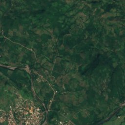
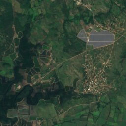
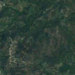
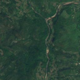
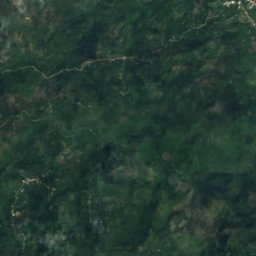
Laguna Chapagua
Chapagua, Colón Department
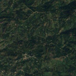
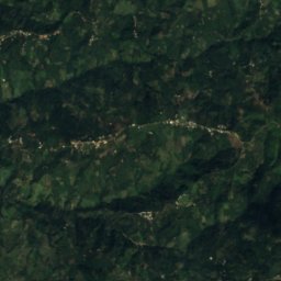
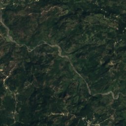
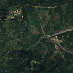
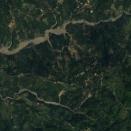
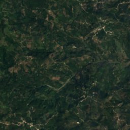
Satellite: Sentinel-2 cloudless 2016 by EOX IT Services GmbH · CC BY 4.0 · Contains modified Copernicus Sentinel data 2016
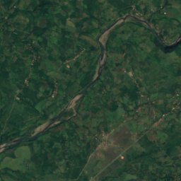
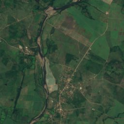
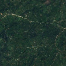
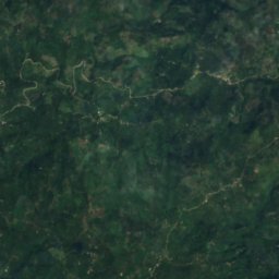
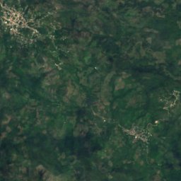
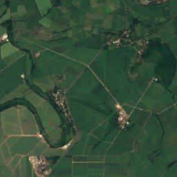
Laguna Cuajo Seco
Dolores, Ocotepeque Department
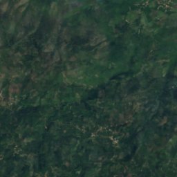
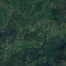
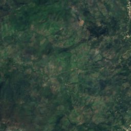
Satellite: Sentinel-2 cloudless 2016 by EOX IT Services GmbH · CC BY 4.0 · Contains modified Copernicus Sentinel data 2016
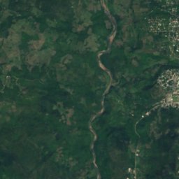
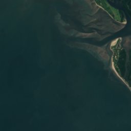
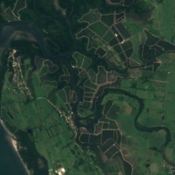
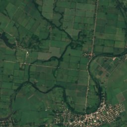
Laguna El Descombro
San Luis de Planes, Santa Bárbara Department
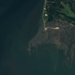
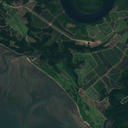
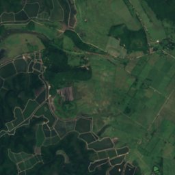
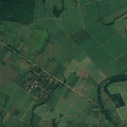

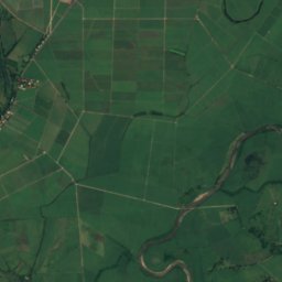


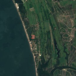
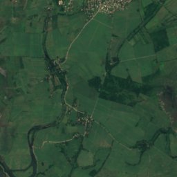
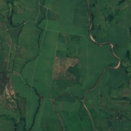
Satellite: Sentinel-2 cloudless 2016 by EOX IT Services GmbH · CC BY 4.0 · Contains modified Copernicus Sentinel data 2016
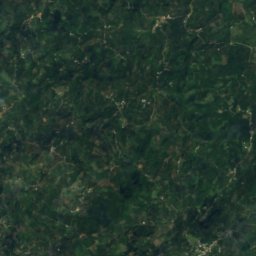
Laguna Enea
Amapala, Valle Department
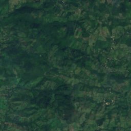
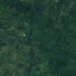
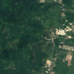
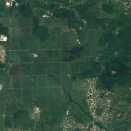
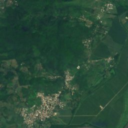
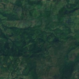
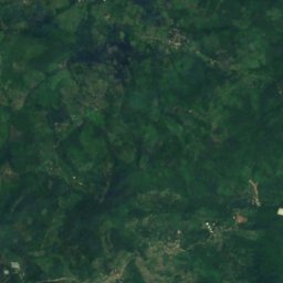
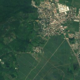
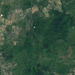
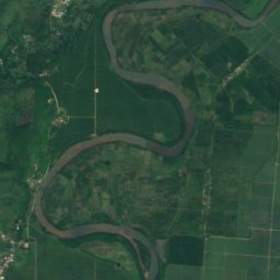
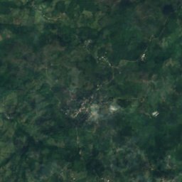
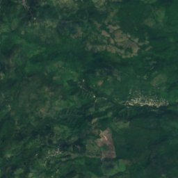
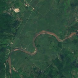
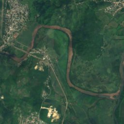
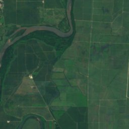
Satellite: Sentinel-2 cloudless 2016 by EOX IT Services GmbH · CC BY 4.0 · Contains modified Copernicus Sentinel data 2016
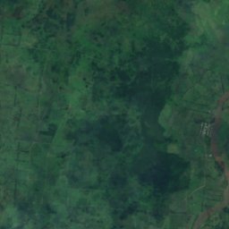
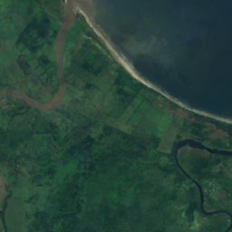
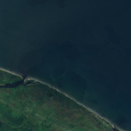
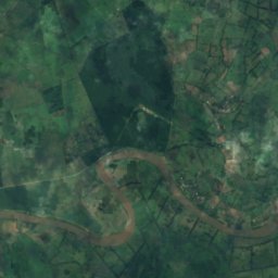
Laguna Higuerito
La Lima, Cortés Department
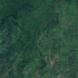

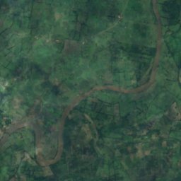
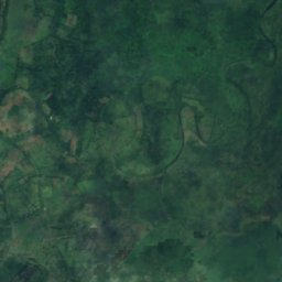
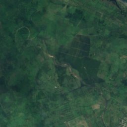
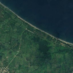
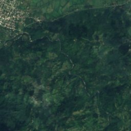
Satellite: Sentinel-2 cloudless 2016 by EOX IT Services GmbH · CC BY 4.0 · Contains modified Copernicus Sentinel data 2016
Laguna Jaloa
Omoa, Cortés Department
All 21 lakes
- Embalse El Guayabo
- Lago Mandasta
- Laguna Chapagua
- Laguna Cuajo Seco
- Laguna de la Ruidosa
- Laguna del Pinabete
- Laguna del Socorro
- Laguna El Descombro
- Laguna Enea
- Laguna Higuerito
- Laguna Jaloa
- Laguna Jucutuma
- Laguna Los Cuartos
- Laguna Macuelizo
- Laguna Poza Honda
- Laguna Retumbadora
- Laguna Silk Gras
- Laguna Ticamaya
- Laguna Toloa
- Lake Yojoa
- Ticamaya lake
Waterfalls
Waterfalls of Honduras

National parks
National parks of Honduras


Photo: wikipedia user Rngadam · CC BY-SA 3.0 · Wikimedia CommonsReport this photo · linked, not stored
Jeanette Kawas National Park
Travesía, Cortés Department
782 km²


Photo: Yamil Gonzales from Tegucigalpa, Honduras · CC BY-SA 2.0 · Wikimedia CommonsReport this photo · linked, not stored
Cerro Azul Meámbar National Park (DEI-G)
La Guama, Cortés Department

Photo: Yamil Gonzales from Tegucigalpa, Honduras · CC BY-SA 2.0 · Wikimedia CommonsReport this photo · linked, not stored
Montaña de Comayagua National Park
Yarumela, La Paz Department

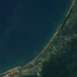
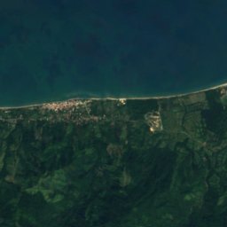
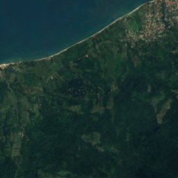
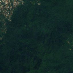
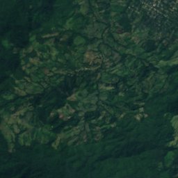
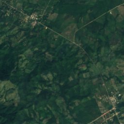
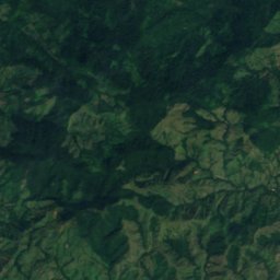
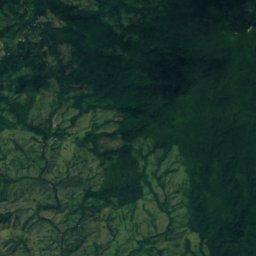
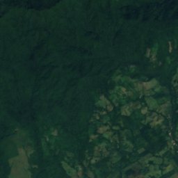
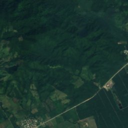
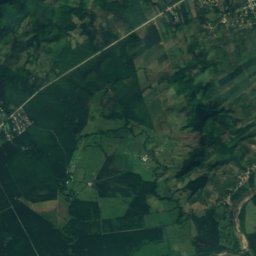
Satellite: Sentinel-2 cloudless 2016 by EOX IT Services GmbH · CC BY 4.0 · Contains modified Copernicus Sentinel data 2016
Capiro Calentura National Park
Puerto Castilla, Colón Department
50 km²
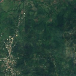
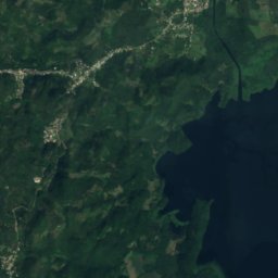
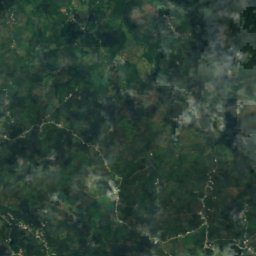
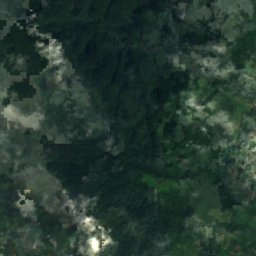
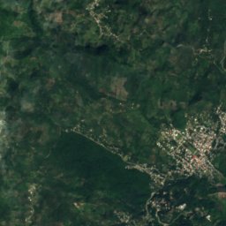
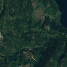
Satellite: Sentinel-2 cloudless 2016 by EOX IT Services GmbH · CC BY 4.0 · Contains modified Copernicus Sentinel data 2016
Montaña Santa Bárbara National Park
San Luis de Planes, Santa Bárbara Department
All 12 national parks
- Capiro Calentura National Park
- Celaque National Park
- Cerro Azul de Copán National Park
- Cerro Azul Meámbar National Park (DEI-G)
- Cusuco National Park
- Jeanette Kawas National Park
- La Muralla National Park
- La Tigra National Park
- Montaña de Comayagua National Park
- Montaña Santa Bárbara National Park
- Montecristo Trifinio National Park
- Pico Bonito National Park
Beaches
Beaches of Honduras
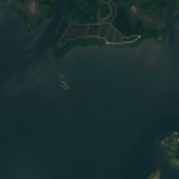
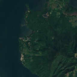
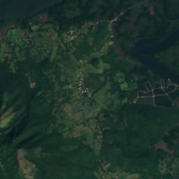
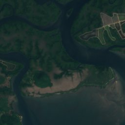
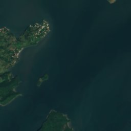
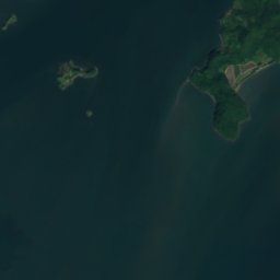
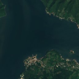
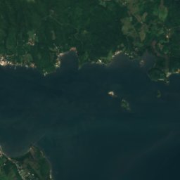
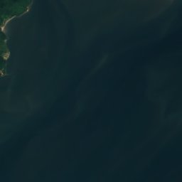
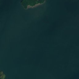

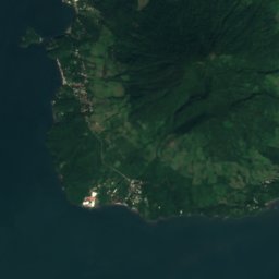
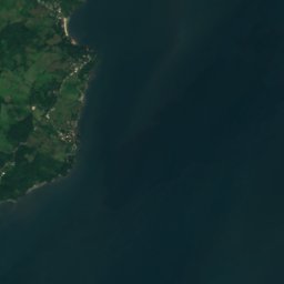

Satellite: Sentinel-2 cloudless 2016 by EOX IT Services GmbH · CC BY 4.0 · Contains modified Copernicus Sentinel data 2016
Gualora Vieja
Amapala, Valle Department
Satellite: Sentinel-2 cloudless 2016 by EOX IT Services GmbH · CC BY 4.0 · Contains modified Copernicus Sentinel data 2016
Los Delgaditos
Amapala, Valle Department
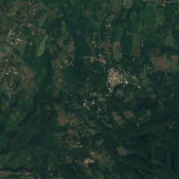
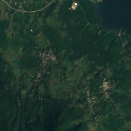
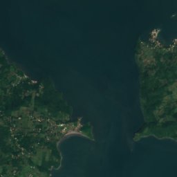
Satellite: Sentinel-2 cloudless 2016 by EOX IT Services GmbH · CC BY 4.0 · Contains modified Copernicus Sentinel data 2016
Playa Brava, Valle Department
Amapala, Valle Department
115 m
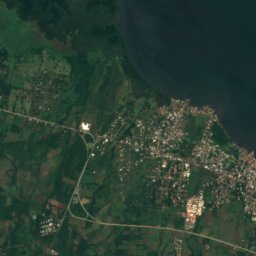
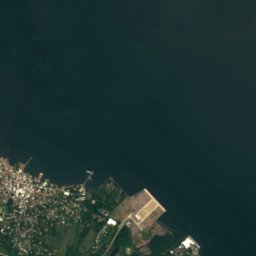

Satellite: Sentinel-2 cloudless 2016 by EOX IT Services GmbH · CC BY 4.0 · Contains modified Copernicus Sentinel data 2016
Playa Brava, Valle Department
Amapala, Valle Department
17 m


Satellite: Sentinel-2 cloudless 2016 by EOX IT Services GmbH · CC BY 4.0 · Contains modified Copernicus Sentinel data 2016
Playa Ceiba Cruz
Amapala, Valle Department
Satellite: Sentinel-2 cloudless 2016 by EOX IT Services GmbH · CC BY 4.0 · Contains modified Copernicus Sentinel data 2016
Playa El Burro
Amapala, Valle Department


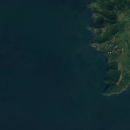
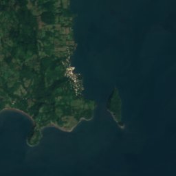






Satellite: Sentinel-2 cloudless 2016 by EOX IT Services GmbH · CC BY 4.0 · Contains modified Copernicus Sentinel data 2016
Playa El Corozal
Amapala, Valle Department
20 m
Satellite: Sentinel-2 cloudless 2016 by EOX IT Services GmbH · CC BY 4.0 · Contains modified Copernicus Sentinel data 2016
Playa El Curumal
Amapala, Valle Department
2 m
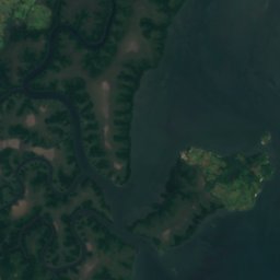
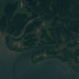
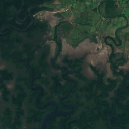
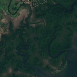
Satellite: Sentinel-2 cloudless 2016 by EOX IT Services GmbH · CC BY 4.0 · Contains modified Copernicus Sentinel data 2016
Playa El Cáguamo
Amapala, Valle Department
6 m
All 34 beaches
- Gualora Vieja
- Los Delgaditos
- Playa Brava, Valle Department
- Playa Brava, Valle Department
- Playa Ceiba Cruz
- Playa de Aguirres
- Playa de Carey
- Playa de Cedro
- Playa de La Calera
- Playa de La Flor
- Playa de La Guayaba
- Playa de La Menuda
- Playa de La Tiguilotada
- Playa de Licona
- Playa del Carretal
- Playa del Coyol
- Playa del Diablo
- Playa del Inquente
- Playa del Muerto
- Playa del Papayal
- Playa El Burro
- Playa El Cáguamo
- Playa El Corozal
- Playa El Curumal
- Playa El Mahahual
- Playa El Zambullido
- Playa Gualora Vieja
- Playa Gualorita
- Playa Jacobo
- Playa Las Cuevitas
- Playa Marcelo
- Playa Peladero
- Playa Secundino
- Playas El Carretal
Islands
Islands of Honduras


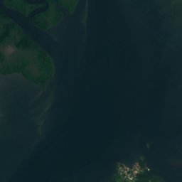
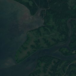
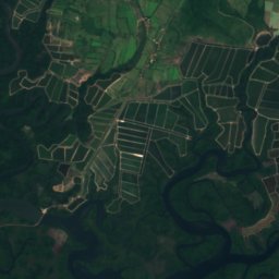
Satellite: Sentinel-2 cloudless 2016 by EOX IT Services GmbH · CC BY 4.0 · Contains modified Copernicus Sentinel data 2016
Isla Zacate Grande
Amapala, Valle Department
640 m
Satellite: Sentinel-2 cloudless 2016 by EOX IT Services GmbH · CC BY 4.0 · Contains modified Copernicus Sentinel data 2016
Isla Conchagüita
Amapala, Valle Department
341 m
Satellite: Sentinel-2 cloudless 2016 by EOX IT Services GmbH · CC BY 4.0 · Contains modified Copernicus Sentinel data 2016
Meanguera
Amapala, Valle Department
Satellite: Sentinel-2 cloudless 2016 by EOX IT Services GmbH · CC BY 4.0 · Contains modified Copernicus Sentinel data 2016
Isla Martín Pérez
Amapala, Valle Department
39 m
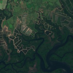
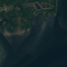
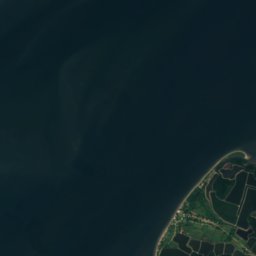
Satellite: Sentinel-2 cloudless 2016 by EOX IT Services GmbH · CC BY 4.0 · Contains modified Copernicus Sentinel data 2016
Isla Güegüensi
Amapala, Valle Department
Satellite: Sentinel-2 cloudless 2016 by EOX IT Services GmbH · CC BY 4.0 · Contains modified Copernicus Sentinel data 2016
Isla Meanguera
Amapala, Valle Department
316 m
Satellite: Sentinel-2 cloudless 2016 by EOX IT Services GmbH · CC BY 4.0 · Contains modified Copernicus Sentinel data 2016
Isla Exposición
Amapala, Valle Department
All 36 islands
- Barra de Guaimoreto
- Barra del Río Motagua
- Barra El Espino
- Barra Lislis
- Barra Salado
- Cayo Chacho
- Cayo Monitor
- Cayo Tique
- Cochino Grande
- Cochino Pequeño
- Isla Chocolatillo
- Isla Conchagüita
- Isla de La Vaca
- Isla de Las Almejas
- Isla de Pájaros
- Isla del Toro
- Isla El Garrobito
- Isla El Pacar
- Isla Exposición
- Isla Frijol
- Isla Garrobo
- Isla Güegüensi
- Isla Ilca
- Isla Inglesera
- Isla La Boca
- Isla Los Matones
- Isla Martín Pérez
- Isla Matate
- Isla Meanguera
- Isla Meanguerita
- Isla Playa Alta
- Isla Tigritos
- Isla Violín
- Isla Zacate Grande
- Meanguera
- Tiger Island
Caves
Caves of Honduras
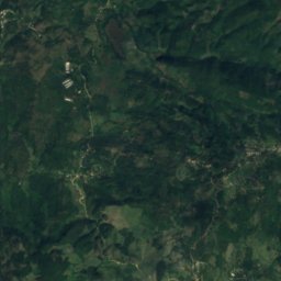
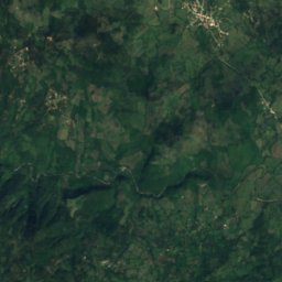
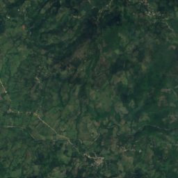
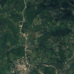
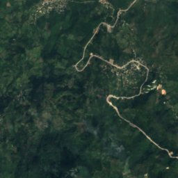
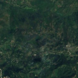
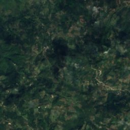
Satellite: Sentinel-2 cloudless 2016 by EOX IT Services GmbH · CC BY 4.0 · Contains modified Copernicus Sentinel data 2016
Cuevas de Taulabé
Río Bonito, Comayagua Department
Rivers
Rivers of Honduras


Photo: English Wikipedia user SqueakBox · CC BY-SA 3.0 · Wikimedia CommonsReport this photo · linked, not stored
Cangrejal River
La Ceiba, Atlántida Department












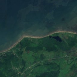
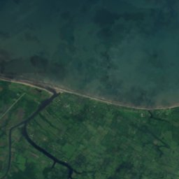
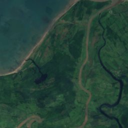
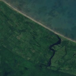
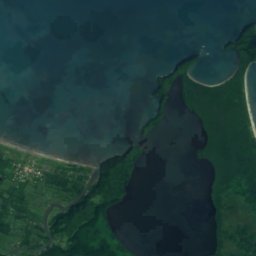
Satellite: Sentinel-2 cloudless 2016 by EOX IT Services GmbH · CC BY 4.0 · Contains modified Copernicus Sentinel data 2016
Ulúa River
Travesía, Cortés Department
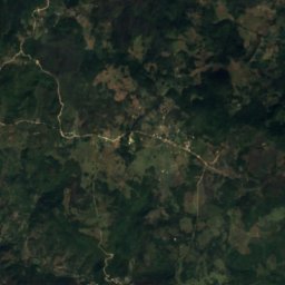
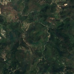
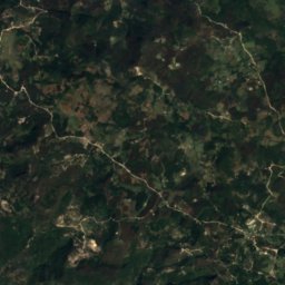
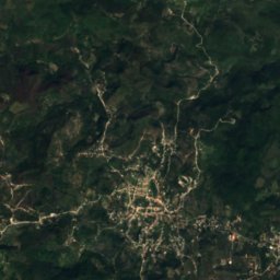
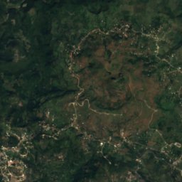
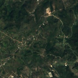
Satellite: Sentinel-2 cloudless 2016 by EOX IT Services GmbH · CC BY 4.0 · Contains modified Copernicus Sentinel data 2016
Choluteca River
Tegucigalpa, Francisco Morazán Department
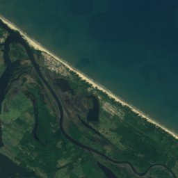

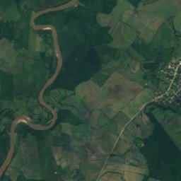
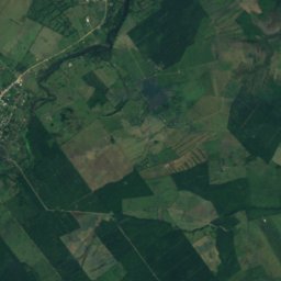
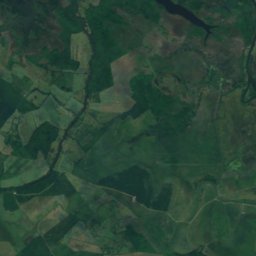
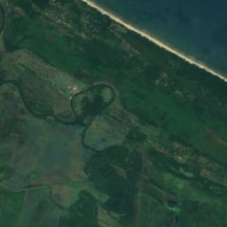
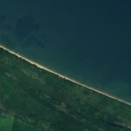
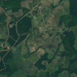
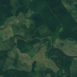
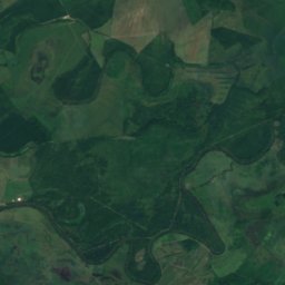
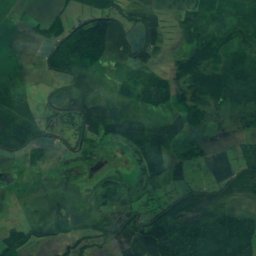
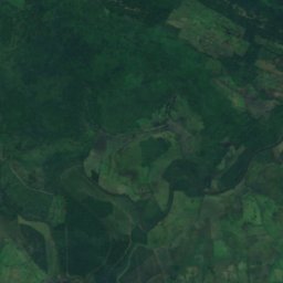
Satellite: Sentinel-2 cloudless 2016 by EOX IT Services GmbH · CC BY 4.0 · Contains modified Copernicus Sentinel data 2016
Aguán River
Chapagua, Colón Department



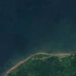
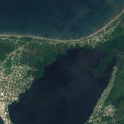
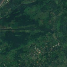
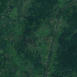
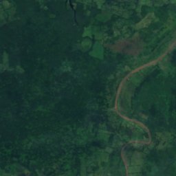
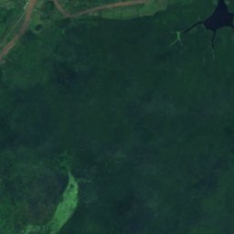


Satellite: Sentinel-2 cloudless 2016 by EOX IT Services GmbH · CC BY 4.0 · Contains modified Copernicus Sentinel data 2016
Chamelecón River
Travesía, Cortés Department