
Photo: Marco Farouk Basir · CC BY-SA 3.0 · Wikimedia Commons
WakenaamReport this photo · linked, not stored
WakenaamReport this photo · linked, not stored
IslandParika, Essequibo Islands-West Demerara
Wakenaam
IslandBest Jan–Mar
Elevation–above sea level
Area18 km²surface
Nearest townParika15 km
6.97° N, 58.45° WUTC−4 · Guyana Time
When to goParika · weather score
Best timeJan–Mar
October: high / low29° / 25°
Island
Wakenaam in brief
Wakenaam is an island in Parika, Essequibo Islands-West Demerara, Guyana.
It covers about 18 km².
The nearest town in the atlas is Parika, 15 km to the S, where the weather is best in January, February and March.
Weather nearby now
Forecast for Parika32°
Rain now
Today
22 Oct
32°
26°
2 mm
Fri
23 Oct
32°
25°
3 mm
Sat
24 Oct
32°
25°
3 mm
Sun
25 Oct
32°
26°
8 mm
Mon
26 Oct
33°
25°
3 mm
Model run 00:00 UTCRefreshed several times a day
When to go
Climate of ParikaThe best months around Wakenaam
Month score in Parika
Comfort, dry days and sunshine · out of 10058
Jan
58
Feb
56
Mar
51
Apr
48
May
46
Jun
50
Jul
51
Aug
49
Sep
49
Oct
50
Nov
55
Dec
Map
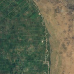
Wakenaam from above
Nature nearbyAll of Guyana
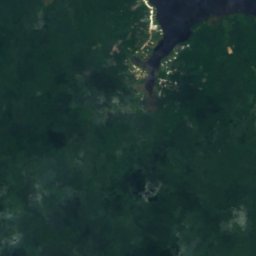
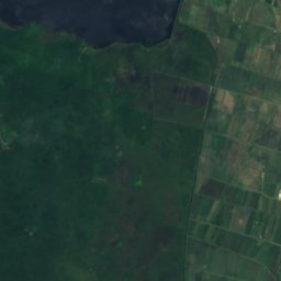
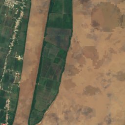
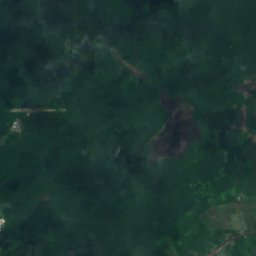
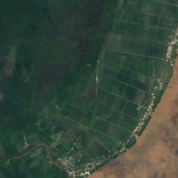
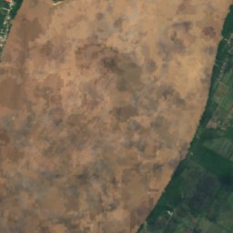
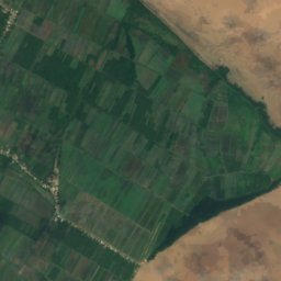
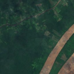
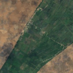
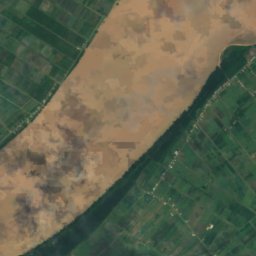
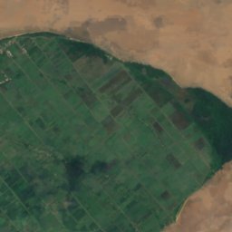
Satellite: Sentinel-2 cloudless 2016 by EOX IT Services GmbH · CC BY 4.0 · Contains modified Copernicus Sentinel data 2016
Satellite: Sentinel-2 cloudless 2016 by EOX IT Services GmbH · CC BY 4.0 · Contains modified Copernicus Sentinel data 2016
Satellite: Sentinel-2 cloudless 2016 by EOX IT Services GmbH · CC BY 4.0 · Contains modified Copernicus Sentinel data 2016
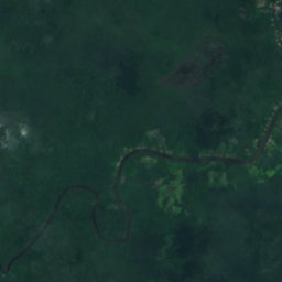
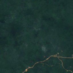
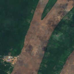
Satellite: Sentinel-2 cloudless 2016 by EOX IT Services GmbH · CC BY 4.0 · Contains modified Copernicus Sentinel data 2016
Satellite: Sentinel-2 cloudless 2016 by EOX IT Services GmbH · CC BY 4.0 · Contains modified Copernicus Sentinel data 2016
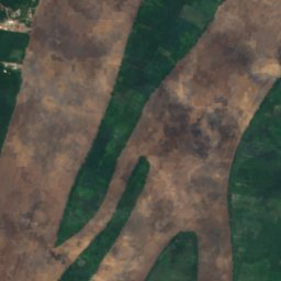
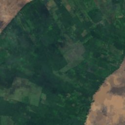
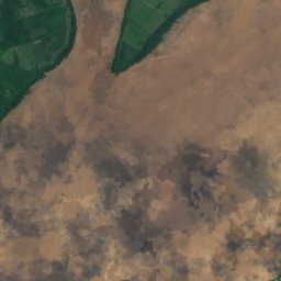
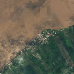
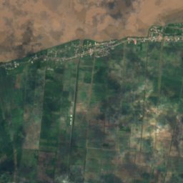
Satellite: Sentinel-2 cloudless 2016 by EOX IT Services GmbH · CC BY 4.0 · Contains modified Copernicus Sentinel data 2016
Stay nearby
Towns close by

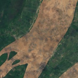
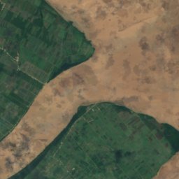
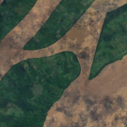
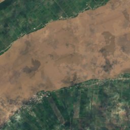
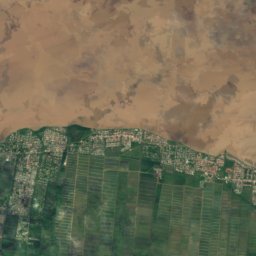
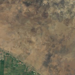
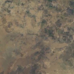
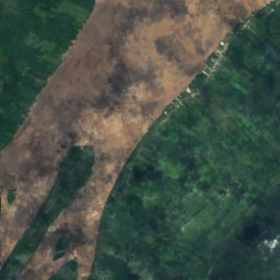
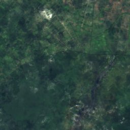
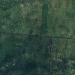
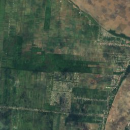
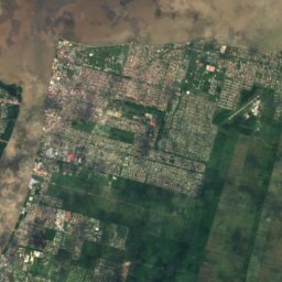
Satellite: Sentinel-2 cloudless 2016 by EOX IT Services GmbH · CC BY 4.0 · Contains modified Copernicus Sentinel data 2016
Windsor Forest
Essequibo Islands-West Demerara · 27 km SE
29°Oct high
21wet days
51score
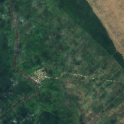
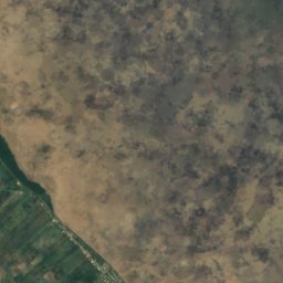


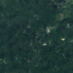
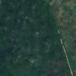
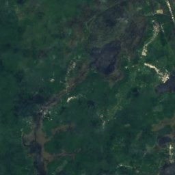
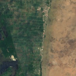
Satellite: Sentinel-2 cloudless 2016 by EOX IT Services GmbH · CC BY 4.0 · Contains modified Copernicus Sentinel data 2016
Anna Regina
Pomeroon-Supenaam · 33 km N
30°Oct high
24wet days
46score


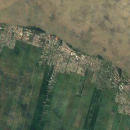
Satellite: Sentinel-2 cloudless 2016 by EOX IT Services GmbH · CC BY 4.0 · Contains modified Copernicus Sentinel data 2016
Vreed en Hoop
Essequibo Islands-West Demerara · 33 km SE
29°Oct high
21wet days
50score
Around here
Parika and around
Nature
Satellite: Sentinel-2 cloudless 2016 by EOX IT Services GmbH · CC BY 4.0 · Contains modified Copernicus Sentinel data 2016
Leguan Island
Island
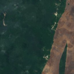
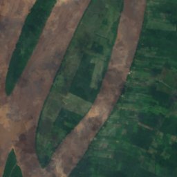
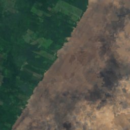
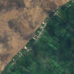
Satellite: Sentinel-2 cloudless 2016 by EOX IT Services GmbH · CC BY 4.0 · Contains modified Copernicus Sentinel data 2016
Hogg Island
Island

Heritage







Satellite: Sentinel-2 cloudless 2016 by EOX IT Services GmbH · CC BY 4.0 · Contains modified Copernicus Sentinel data 2016
Fort Zeelandia
Tentative World Heritage Site