Nature
Waters, ice and wild places of Guatemala
Lakes, waterfalls, glaciers, national parks and mountain huts, each with its location, its size and the weather of the towns around it.
Lakes46with a page
National parks6with a page
Beaches1with a page
Islands26with a page

Lakes
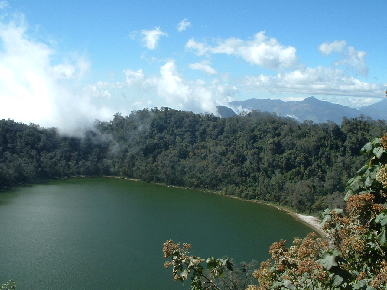
Lakes of Guatemala



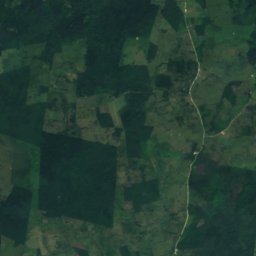
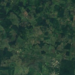
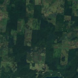
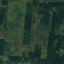
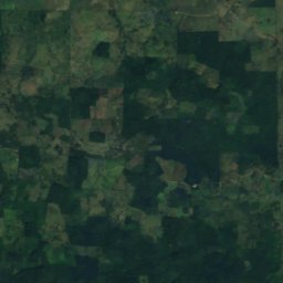
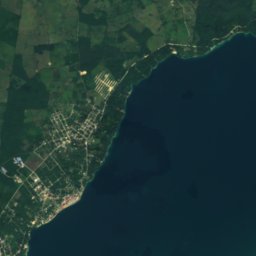
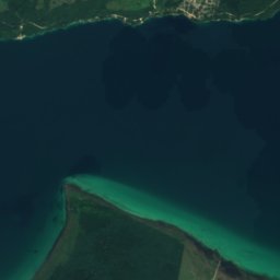
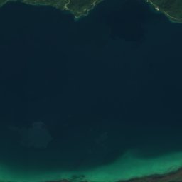
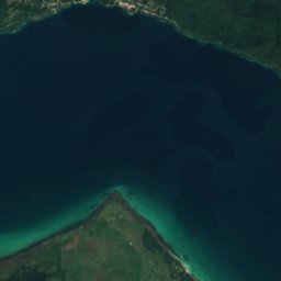
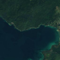
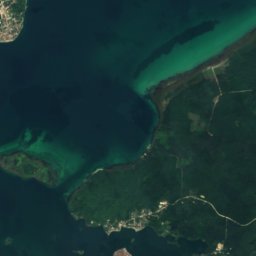
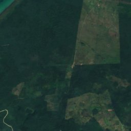
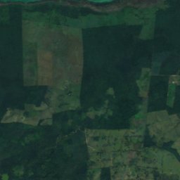
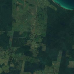
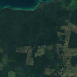
Satellite: Sentinel-2 cloudless 2016 by EOX IT Services GmbH · CC BY 4.0 · Contains modified Copernicus Sentinel data 2016
Lake Petén Itzá
Santa Elena, Petén
99 km²
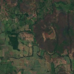
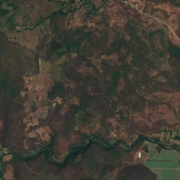
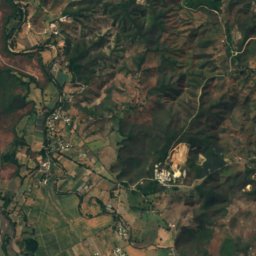
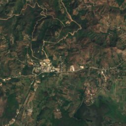
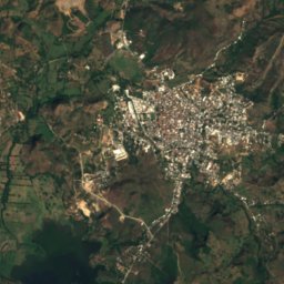
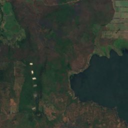
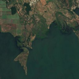
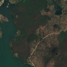
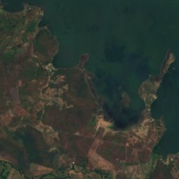
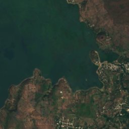
Satellite: Sentinel-2 cloudless 2016 by EOX IT Services GmbH · CC BY 4.0 · Contains modified Copernicus Sentinel data 2016
Lake Güija
Asunción Mita, Jutiapa
45 km²
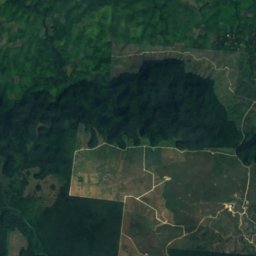
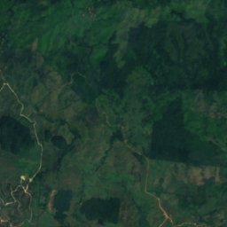
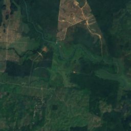
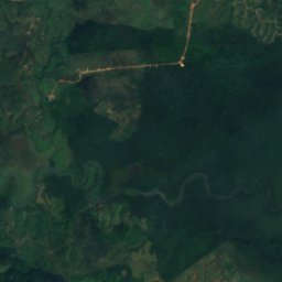
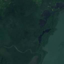
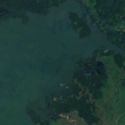
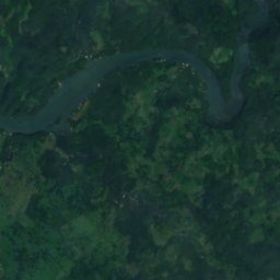
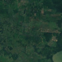
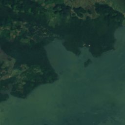
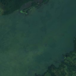
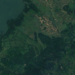
Satellite: Sentinel-2 cloudless 2016 by EOX IT Services GmbH · CC BY 4.0 · Contains modified Copernicus Sentinel data 2016
El Golfete
Lívingston, Izabal Department
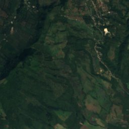
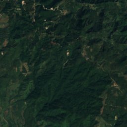
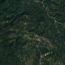
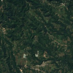
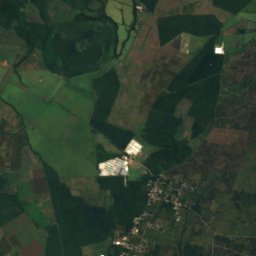
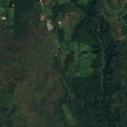
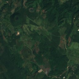
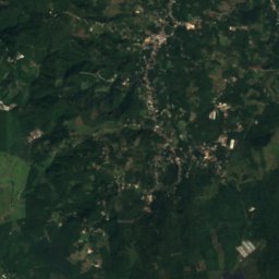
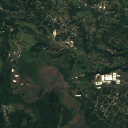
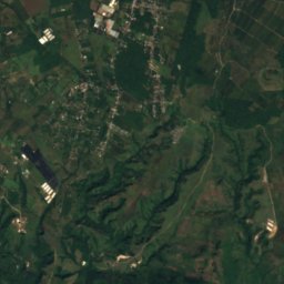
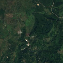
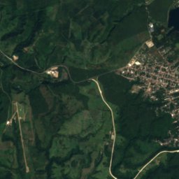
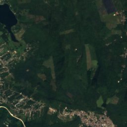
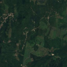
Satellite: Sentinel-2 cloudless 2016 by EOX IT Services GmbH · CC BY 4.0 · Contains modified Copernicus Sentinel data 2016
Laguna El Pino
Barberena, Santa Rosa Department
All 46 lakes
- El Golfete
- Laguna Chicabal
- Laguna de Atescatempa
- Laguna de Ayarza
- Laguna de Calderas
- Laguna de la Cotuza
- Laguna de la Pepesca
- Laguna de Obrajuelo
- Laguna del Hoyo
- Laguna El Comendador
- Laguna El Muchacho
- Laguna El Pino
- Laguna El Tule
- Laguna Exequil
- Laguna Las Cuaches
- Laguna Lemoa
- Laguna Terranova
- Laguneta Blanca
- Laguneta Colindres
- Laguneta de Los Cerritos
- Laguneta El Arca
- Laguneta El Carrizo
- Laguneta El Sauce
- Laguneta El Silencio
- Laguneta El Tomatal
- Laguneta El Tule
- Laguneta Honda
- Laguneta La Charca
- Laguneta La Isleta
- Laguneta La Palmilla
- Laguneta La Pampita
- Laguneta Las Hojas
- Laguneta Pampa Dulce
- Laguneta Salada
- Laguneta San Antonio
- Laguneta San Juan
- Laguneta Tamarindo Viejo
- Laguneta Tiembla Tierra
- Laguneta Tomatales
- Lake Güija
- Lake Ipala
- Lake Izabal
- Lake Petén Itzá
- Pampa del Chico
- Pampa El Espejo
- Pampa La Linterna
National parks
National parks of Guatemala


Photo: Fernando Reyes Palencia · CC BY-SA 2.0 · Wikimedia CommonsReport this photo · linked, not stored
Los Aposentos
El Tejar, Chimaltenango

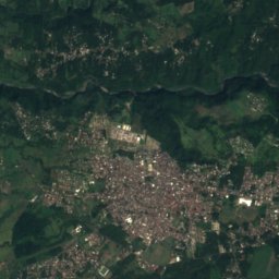
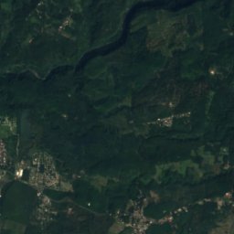
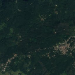
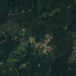
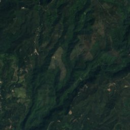
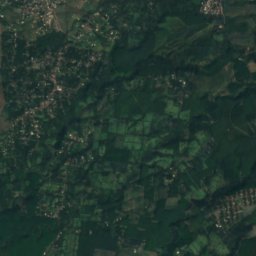
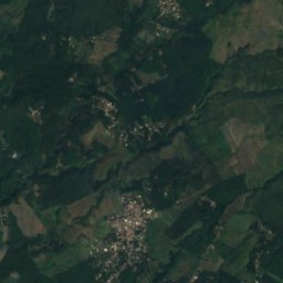
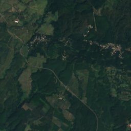
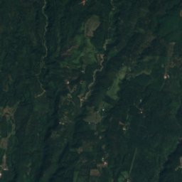
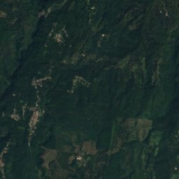
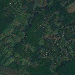
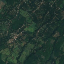
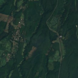
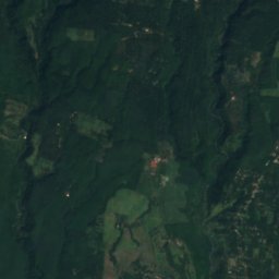
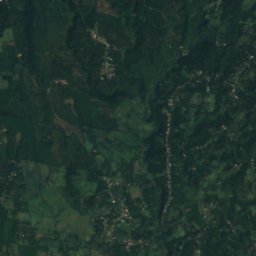
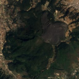
Satellite: Sentinel-2 cloudless 2016 by EOX IT Services GmbH · CC BY 4.0 · Contains modified Copernicus Sentinel data 2016
Takalik Abaj
El Asintal, Retalhuleu
0 km²
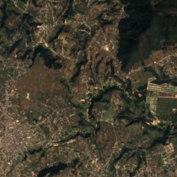
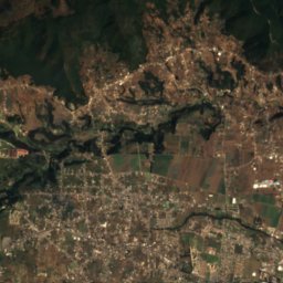
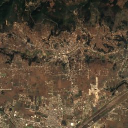
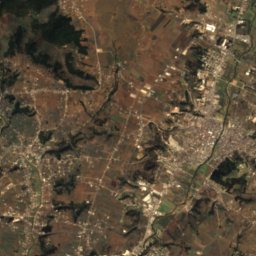
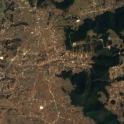
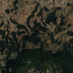
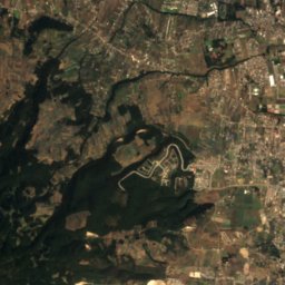
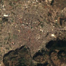
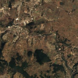
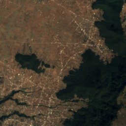
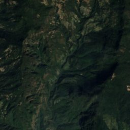
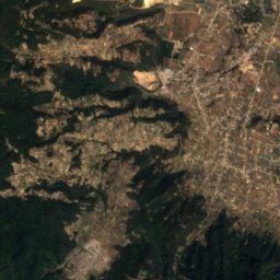
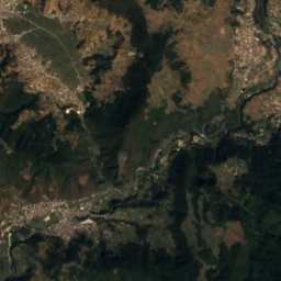
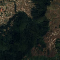
Satellite: Sentinel-2 cloudless 2016 by EOX IT Services GmbH · CC BY 4.0 · Contains modified Copernicus Sentinel data 2016
Cerro El Baúl
Almolonga, Quetzaltenango
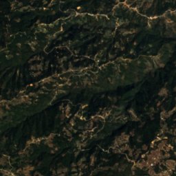
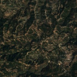
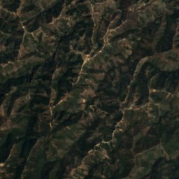
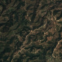
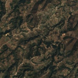
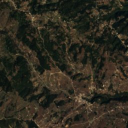
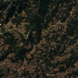
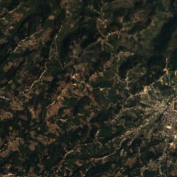
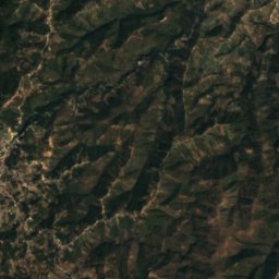
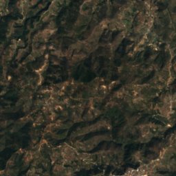
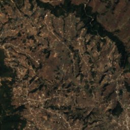
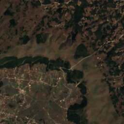
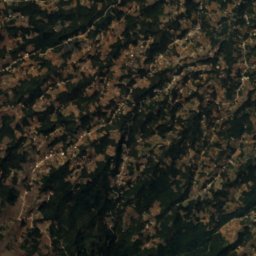
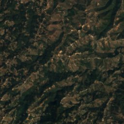
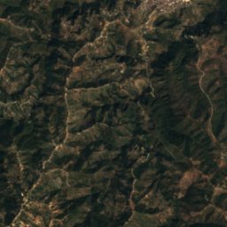
Satellite: Sentinel-2 cloudless 2016 by EOX IT Services GmbH · CC BY 4.0 · Contains modified Copernicus Sentinel data 2016
Riscos de Momostenango
Momostenango, Totonicapán
Beaches
Beaches of Guatemala

Islands
Islands of Guatemala

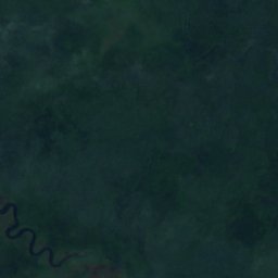


Satellite: Sentinel-2 cloudless 2016 by EOX IT Services GmbH · CC BY 4.0 · Contains modified Copernicus Sentinel data 2016
Sarstoon Island
Lívingston, Izabal Department
17 m
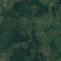
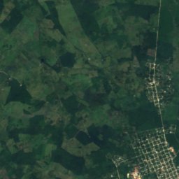
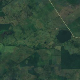
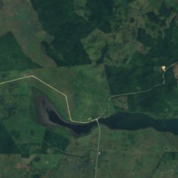
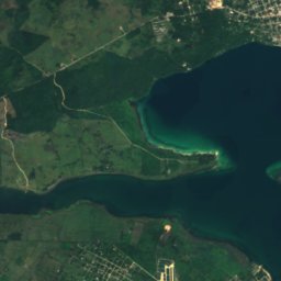
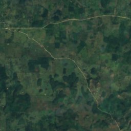
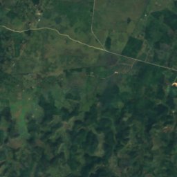
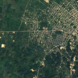
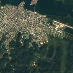
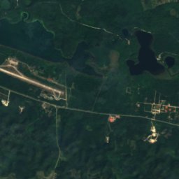
Satellite: Sentinel-2 cloudless 2016 by EOX IT Services GmbH · CC BY 4.0 · Contains modified Copernicus Sentinel data 2016
Flores Island
Santa Elena, Petén
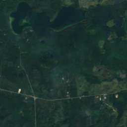
Satellite: Sentinel-2 cloudless 2016 by EOX IT Services GmbH · CC BY 4.0 · Contains modified Copernicus Sentinel data 2016
Islote El Hospital
Santa Elena, Petén
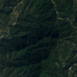
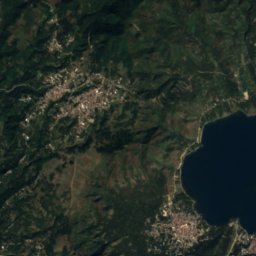
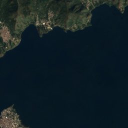
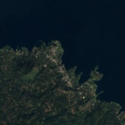
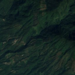
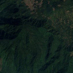
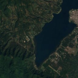
Satellite: Sentinel-2 cloudless 2016 by EOX IT Services GmbH · CC BY 4.0 · Contains modified Copernicus Sentinel data 2016
Isla de Los Gatos
Santiago Atitlán, Sololá
Satellite: Sentinel-2 cloudless 2016 by EOX IT Services GmbH · CC BY 4.0 · Contains modified Copernicus Sentinel data 2016
Islote Pedregal
Santa Elena, Petén
Satellite: Sentinel-2 cloudless 2016 by EOX IT Services GmbH · CC BY 4.0 · Contains modified Copernicus Sentinel data 2016
Islote Lepete
Santa Elena, Petén

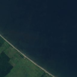


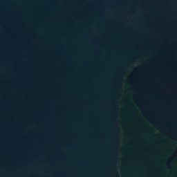
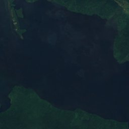
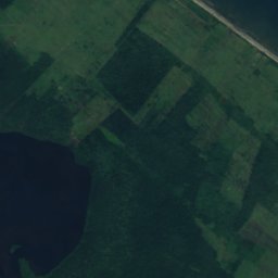
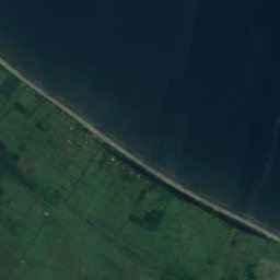

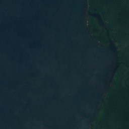
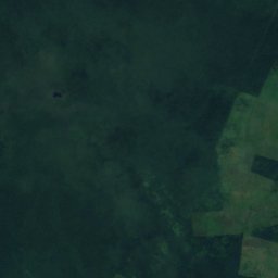
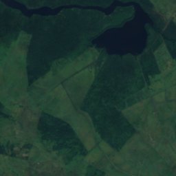
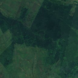
Satellite: Sentinel-2 cloudless 2016 by EOX IT Services GmbH · CC BY 4.0 · Contains modified Copernicus Sentinel data 2016
Cayo Santa Isabel
Lívingston, Izabal Department



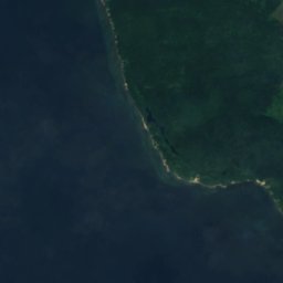
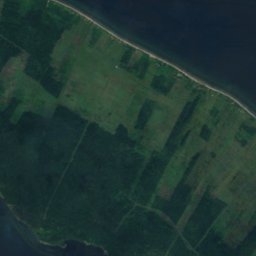



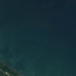


Satellite: Sentinel-2 cloudless 2016 by EOX IT Services GmbH · CC BY 4.0 · Contains modified Copernicus Sentinel data 2016
Bajo de Ox Tongue
Lívingston, Izabal Department
All 26 islands
- Bajo de Ox Tongue
- Barra de La Gabina
- Barra de Suchiate
- Barra de Tilapa
- Barra del Jiote
- Barra del Naranjo
- Barra El Manchón
- Barra La Barrita
- Cayo de La Graciosa
- Cayo Julio
- Cayo Santa Isabel
- Flores Island
- Isla Cintular
- Isla de Los Gatos
- Isla del Chino
- Isla Pajaibal
- Isla Tipa
- Isla Tzilinabaj
- Islita Cerro Negro
- Islote El Hospital
- Islote Lepete
- Islote Ostúa
- Islote Pedregal
- La Isla del Tular
- Santa Barbara Islet
- Sarstoon Island
Caves
Caves of Guatemala

Rivers
Rivers of Guatemala
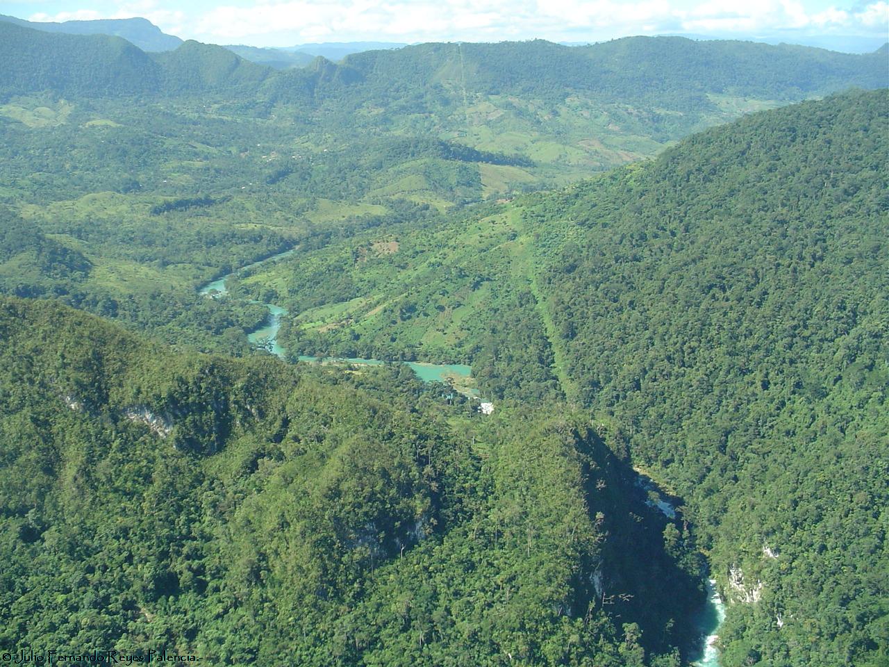


Photo: Gobierno de Guatemala · Public domain · Wikimedia CommonsReport this photo · linked, not stored
Las Vacas River
Chinautla, Guatemala
537 m



Satellite: Sentinel-2 cloudless 2016 by EOX IT Services GmbH · CC BY 4.0 · Contains modified Copernicus Sentinel data 2016
Sarstoon River
Lívingston, Izabal Department
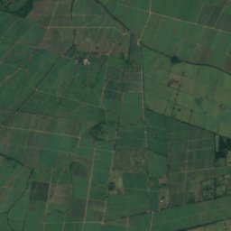
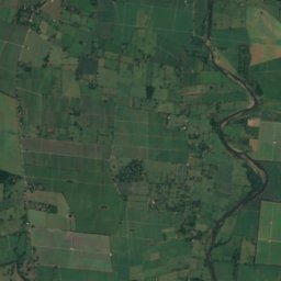
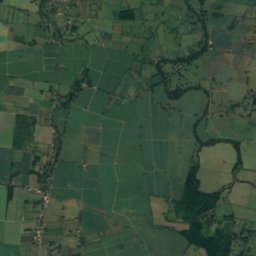
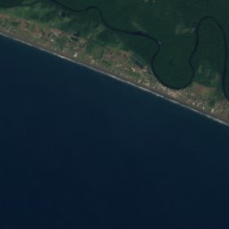
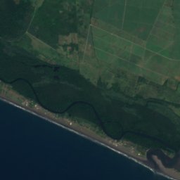
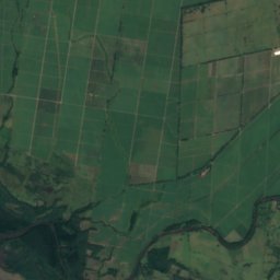
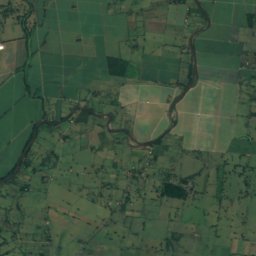
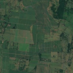


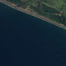
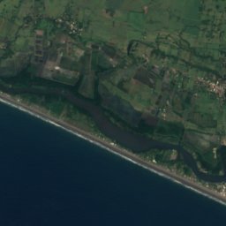
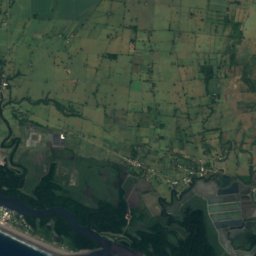
Satellite: Sentinel-2 cloudless 2016 by EOX IT Services GmbH · CC BY 4.0 · Contains modified Copernicus Sentinel data 2016
Los Esclavos River
Pasaco, Jutiapa
Satellite: Sentinel-2 cloudless 2016 by EOX IT Services GmbH · CC BY 4.0 · Contains modified Copernicus Sentinel data 2016
Chocón Machacas River
Lívingston, Izabal Department
3 m
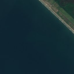
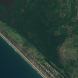
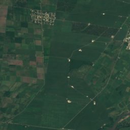
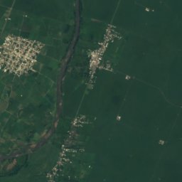
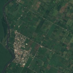

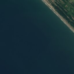
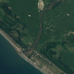
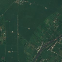
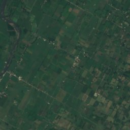


Satellite: Sentinel-2 cloudless 2016 by EOX IT Services GmbH · CC BY 4.0 · Contains modified Copernicus Sentinel data 2016
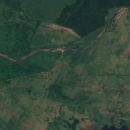
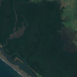
Naranjo River
Ocós, San Marcos





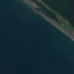
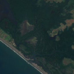


Satellite: Sentinel-2 cloudless 2016 by EOX IT Services GmbH · CC BY 4.0 · Contains modified Copernicus Sentinel data 2016
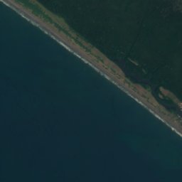
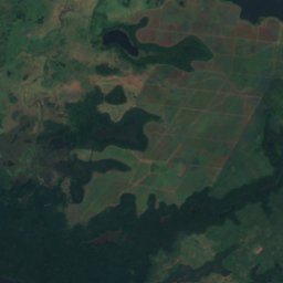
Ocosito River
Ocós, San Marcos