



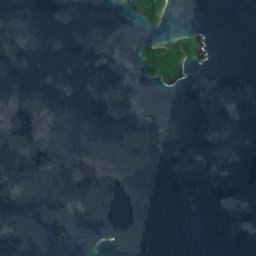

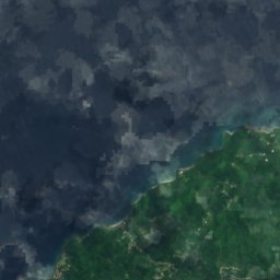
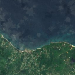
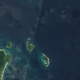

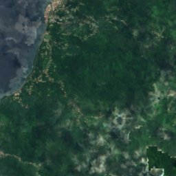

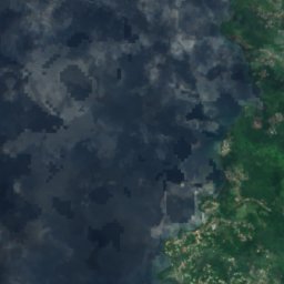
Satellite: Sentinel-2 cloudless 2016 by EOX IT Services GmbH · CC BY 4.0 · Contains modified Copernicus Sentinel data 2016

Photo: Tranquilometro · CC BY-SA 4.0 · Wikimedia Commons
Mount Saint CatherineReport this photo · linked, not stored
Mount Saint CatherineMount Saint CatherineReport this photo · linked, not stored
RiverVictoria, Saint Mark Parish
Silver River
RiverBest Feb–Apr
Elevation–above sea level
Area–surface
Nearest townVictoria1.3 km
12.20° N, 61.70° WUTC−4 · Atlantic Standard Time
When to goVictoria · weather score
Best timeFeb–Apr
October: high / low28° / 26°
River
Silver River in brief
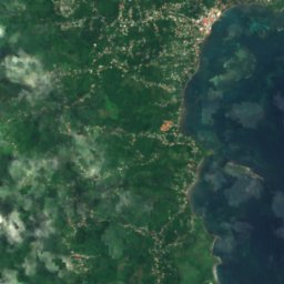
Silver River is a river in Victoria, Saint Mark Parish, Grenada.
The nearest town is Victoria, 1.3 km to the SW, where the weather is best in February, March and April.
Weather nearby now
Forecast for Victoria28°
Cloudy now
Today
26 Oct
29°
27°
6 mm
Tue
27 Oct
28°
26°
5 mm
Wed
28 Oct
28°
27°
5 mm
Thu
29 Oct
28°
26°
12 mm
Fri
30 Oct
28°
26°
5 mm
Model run 12:00 UTCRefreshed several times a day
When to go
Climate of VictoriaThe best months around Silver River
Month score in Victoria
Comfort, dry days and sunshine · out of 10069
Jan
83
Feb
84
Mar
80
Apr
62
May
55
Jun
57
Jul
55
Aug
52
Sep
52
Oct
59
Nov
61
Dec
Map
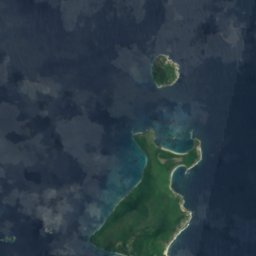
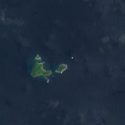
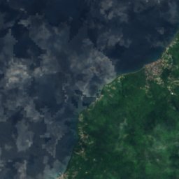
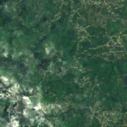
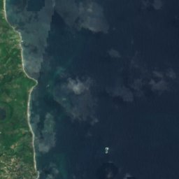
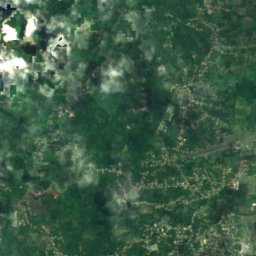
Silver River from above
Nature nearbyAll of Grenada
Satellite: Sentinel-2 cloudless 2016 by EOX IT Services GmbH · CC BY 4.0 · Contains modified Copernicus Sentinel data 2016
Satellite: Sentinel-2 cloudless 2016 by EOX IT Services GmbH · CC BY 4.0 · Contains modified Copernicus Sentinel data 2016
Satellite: Sentinel-2 cloudless 2016 by EOX IT Services GmbH · CC BY 4.0 · Contains modified Copernicus Sentinel data 2016
Satellite: Sentinel-2 cloudless 2016 by EOX IT Services GmbH · CC BY 4.0 · Contains modified Copernicus Sentinel data 2016
Satellite: Sentinel-2 cloudless 2016 by EOX IT Services GmbH · CC BY 4.0 · Contains modified Copernicus Sentinel data 2016
Satellite: Sentinel-2 cloudless 2016 by EOX IT Services GmbH · CC BY 4.0 · Contains modified Copernicus Sentinel data 2016
Summits nearbyMountains of Grenada

Stay nearby
Towns close by


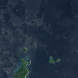

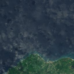
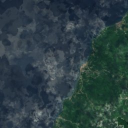
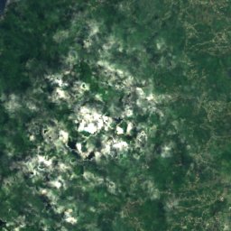
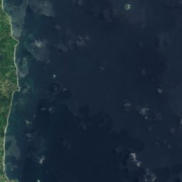
Satellite: Sentinel-2 cloudless 2016 by EOX IT Services GmbH · CC BY 4.0 · Contains modified Copernicus Sentinel data 2016
Victoria
Saint Mark Parish · 1.3 km SW
28°Oct high
21wet days
52score
Satellite: Sentinel-2 cloudless 2016 by EOX IT Services GmbH · CC BY 4.0 · Contains modified Copernicus Sentinel data 2016
Gouyave
Saint John Parish · 5.1 km SW
28°Oct high
21wet days
51score


Around here
Victoria and around
Nature

Photo: User: Bgabel at wikivoyage shared · CC BY-SA 3.0 · Wikimedia CommonsReport this photo · linked, not stored
Grand Etang Lake
Lake · 550 m


