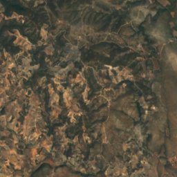
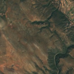
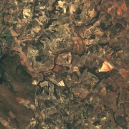
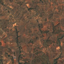
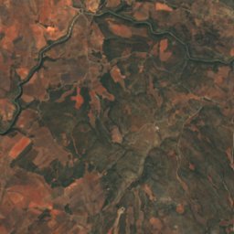
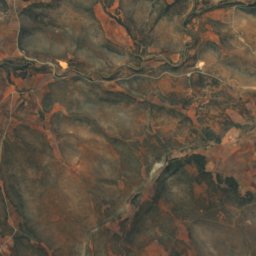
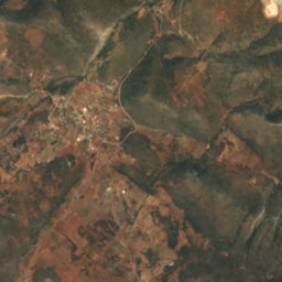
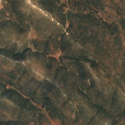
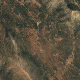
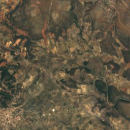
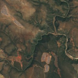
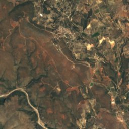
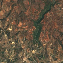
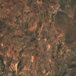
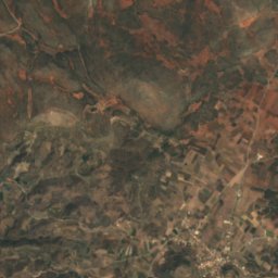
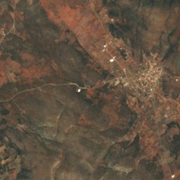
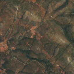
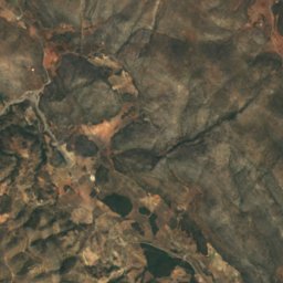
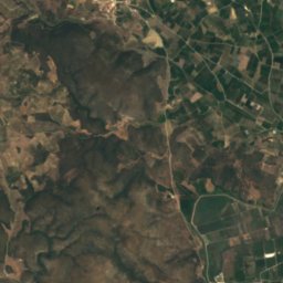
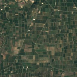
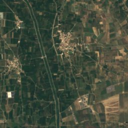
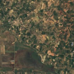
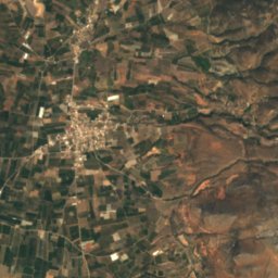
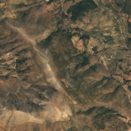
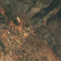
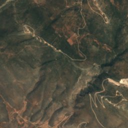
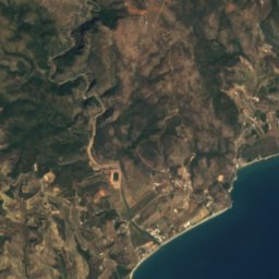
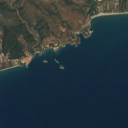
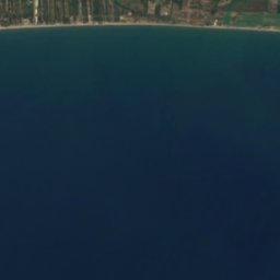
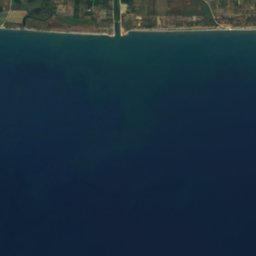
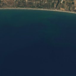
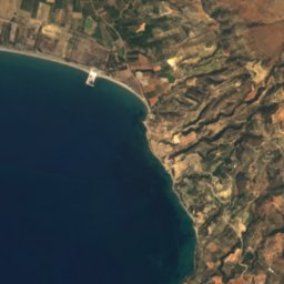
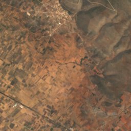
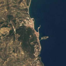




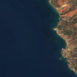
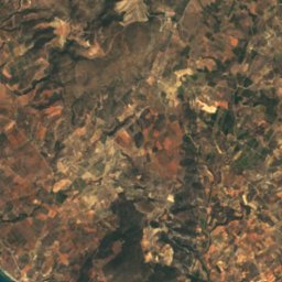
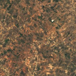
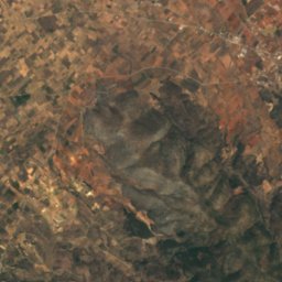
Satellite: Sentinel-2 cloudless 2016 by EOX IT Services GmbH · CC BY 4.0 · Contains modified Copernicus Sentinel data 2016
 Cranae
LakeKáto Glykóvrysi, Peloponnese
Vivari
LakeBest Apr–May · Oct
Elevation–above sea level
Area–surface
Nearest townKáto Glykóvrysi3.2 km
36.81° N, 22.75° EUTC+3 · Eastern European Summer Time
When to goKáto Glykóvrysi · weather score
Best timeApr–May · Oct
October: high / low25° / 14°
Lake
Vivari in brief
Vivari is a lake in Káto Glykóvrysi, Peloponnese, Greece.
The nearest town in the atlas is Káto Glykóvrysi, 3.2 km to the NE, where the weather is best in April, May and October.
Weather nearby now
Forecast for Káto Glykóvrysi23°
Sunny now
Today
22 Oct
26°
18°
Fri
23 Oct
25°
16°
Sat
24 Oct
24°
15°
Sun
25 Oct
23°
13°
5 mm
Mon
26 Oct
21°
14°
60 mm
Model run 00:00 UTCRefreshed several times a day
When to go
Climate of Káto GlykóvrysiThe best months around Vivari
Month score in Káto Glykóvrysi
Comfort, dry days and sunshine · out of 10052
Jan
58
Feb
76
Mar
85
Apr
87
May
72
Jun
66
Jul
67
Aug
71
Sep
83
Oct
77
Nov
61
Dec
Map
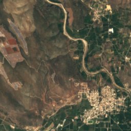
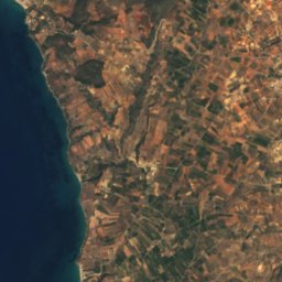
Vivari from above
Nature nearbyAll of Greece



Satellite: Sentinel-2 cloudless 2016 by EOX IT Services GmbH · CC BY 4.0 · Contains modified Copernicus Sentinel data 2016
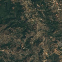
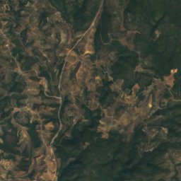
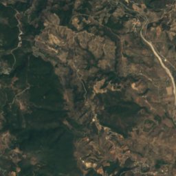
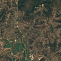
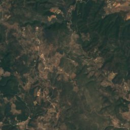
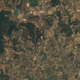
Satellite: Sentinel-2 cloudless 2016 by EOX IT Services GmbH · CC BY 4.0 · Contains modified Copernicus Sentinel data 2016
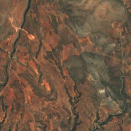
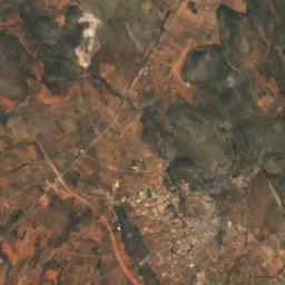
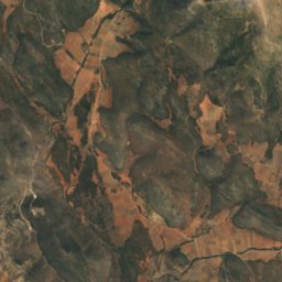
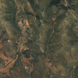
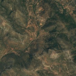
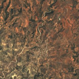
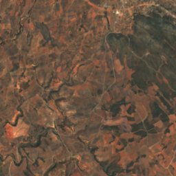
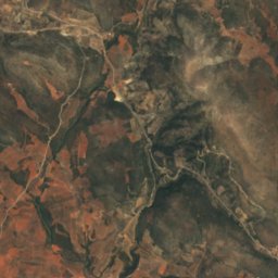
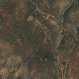
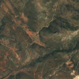
Satellite: Sentinel-2 cloudless 2016 by EOX IT Services GmbH · CC BY 4.0 · Contains modified Copernicus Sentinel data 2016
Satellite: Sentinel-2 cloudless 2016 by EOX IT Services GmbH · CC BY 4.0 · Contains modified Copernicus Sentinel data 2016
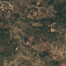

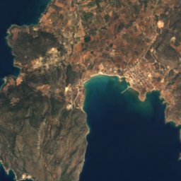
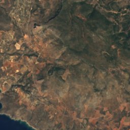
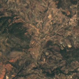
Satellite: Sentinel-2 cloudless 2016 by EOX IT Services GmbH · CC BY 4.0 · Contains modified Copernicus Sentinel data 2016

Summits nearbyMountains of Greece
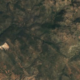
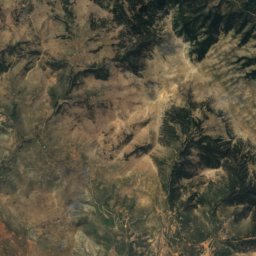
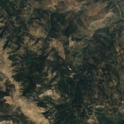
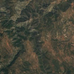
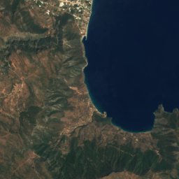
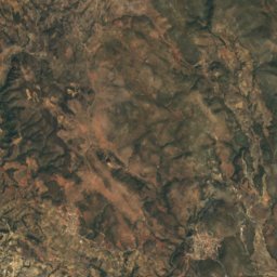
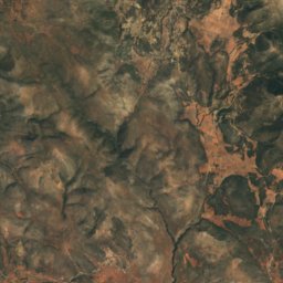
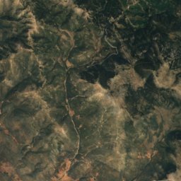
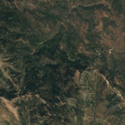
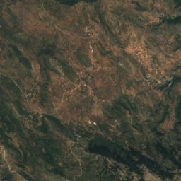
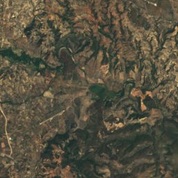
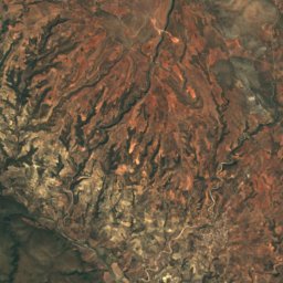
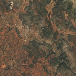
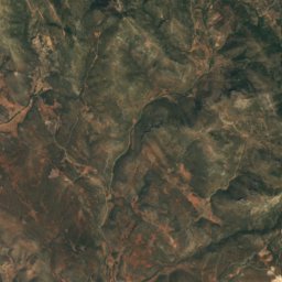
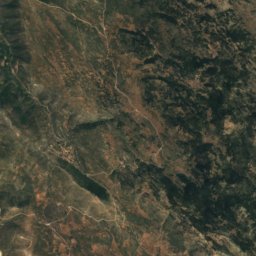
Satellite: Sentinel-2 cloudless 2016 by EOX IT Services GmbH · CC BY 4.0 · Contains modified Copernicus Sentinel data 2016
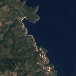
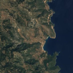
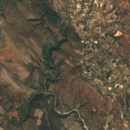
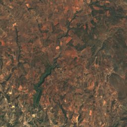
Satellite: Sentinel-2 cloudless 2016 by EOX IT Services GmbH · CC BY 4.0 · Contains modified Copernicus Sentinel data 2016
Satellite: Sentinel-2 cloudless 2016 by EOX IT Services GmbH · CC BY 4.0 · Contains modified Copernicus Sentinel data 2016



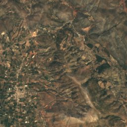
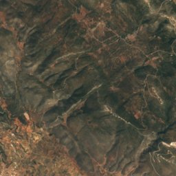
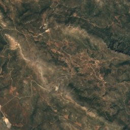
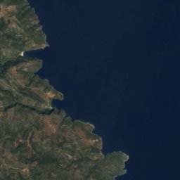

Satellite: Sentinel-2 cloudless 2016 by EOX IT Services GmbH · CC BY 4.0 · Contains modified Copernicus Sentinel data 2016
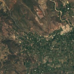
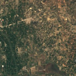
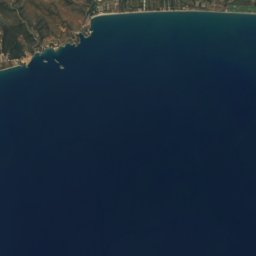
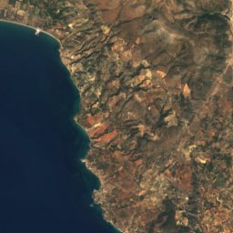
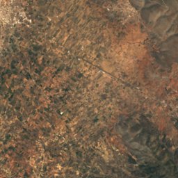
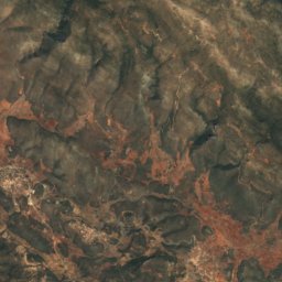
Satellite: Sentinel-2 cloudless 2016 by EOX IT Services GmbH · CC BY 4.0 · Contains modified Copernicus Sentinel data 2016
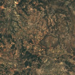
Stay nearby
Towns close by
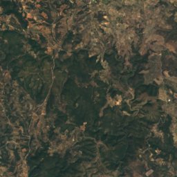
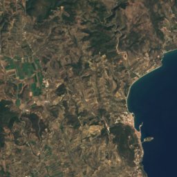
Satellite: Sentinel-2 cloudless 2016 by EOX IT Services GmbH · CC BY 4.0 · Contains modified Copernicus Sentinel data 2016
Káto Glykóvrysi
Peloponnese · 3.2 km NE
25°Oct high
7wet days
83score
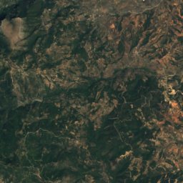
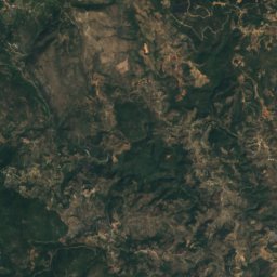
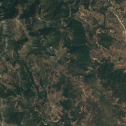
Satellite: Sentinel-2 cloudless 2016 by EOX IT Services GmbH · CC BY 4.0 · Contains modified Copernicus Sentinel data 2016
Elos
Peloponnese · 5.0 km NW
25°Oct high
7wet days
83score


Around here
Káto Glykóvrysi and around
Satellite: Sentinel-2 cloudless 2016 by EOX IT Services GmbH · CC BY 4.0 · Contains modified Copernicus Sentinel data 2016
Káto Glykóvrysi
Peloponnese · Greece
Apr–May · Octbest months
32°July high
39 maltitude
Nature
Satellite: Sentinel-2 cloudless 2016 by EOX IT Services GmbH · CC BY 4.0 · Contains modified Copernicus Sentinel data 2016
Cave Kouveleiki A.
Cave
Satellite: Sentinel-2 cloudless 2016 by EOX IT Services GmbH · CC BY 4.0 · Contains modified Copernicus Sentinel data 2016
Cave Kouveleiki Β
Cave
Satellite: Sentinel-2 cloudless 2016 by EOX IT Services GmbH · CC BY 4.0 · Contains modified Copernicus Sentinel data 2016
Cave of Lakoni
Cave
Mountains
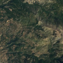
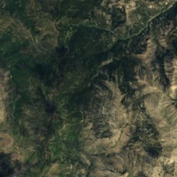
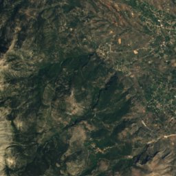
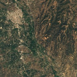
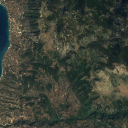
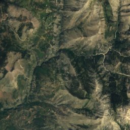
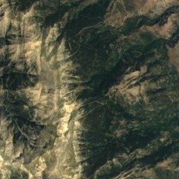
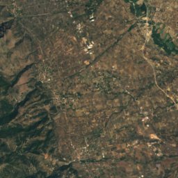
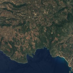
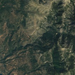
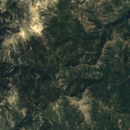
Satellite: Sentinel-2 cloudless 2016 by EOX IT Services GmbH · CC BY 4.0 · Contains modified Copernicus Sentinel data 2016
Derneki
1,576 m
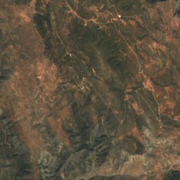
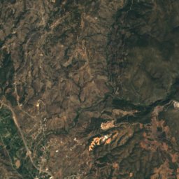


Satellite: Sentinel-2 cloudless 2016 by EOX IT Services GmbH · CC BY 4.0 · Contains modified Copernicus Sentinel data 2016
Strongilovouni
1,547 m