




















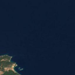

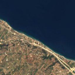


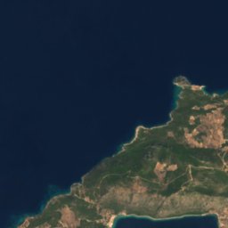
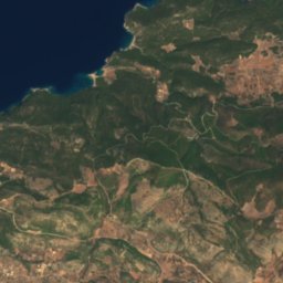
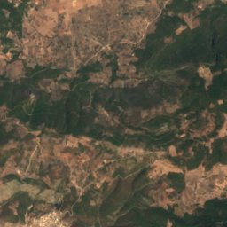
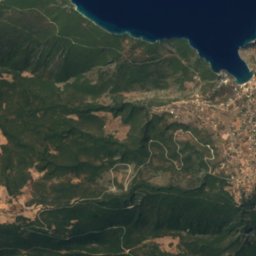
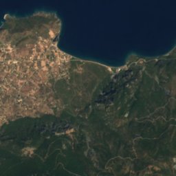

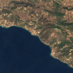
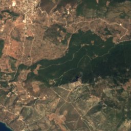
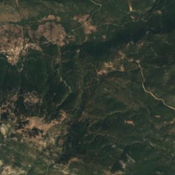
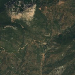
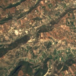
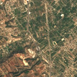
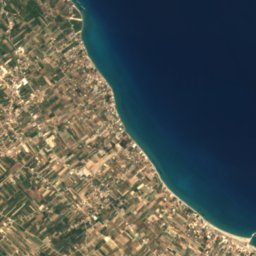



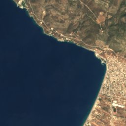
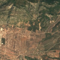
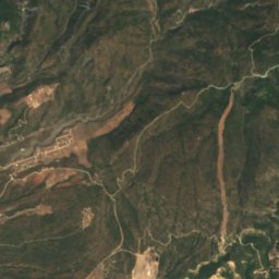
Satellite: Sentinel-2 cloudless 2016 by EOX IT Services GmbH · CC BY 4.0 · Contains modified Copernicus Sentinel data 2016

Photo: Charski A.V. · Public domain · Wikimedia Commons
Limni VouliagmeniReport this photo · linked, not stored
Limni VouliagmeniLimni VouliagmeniReport this photo · linked, not stored

Photo: Natalia Semenova · CC BY 3.0 · Wikimedia Commons
MakryplagiReport this photo · linked, not stored
MakryplagiMakryplagiReport this photo · linked, not stored
BeachPerachóra, Peloponnese
Sterna
BeachBest Apr–May · Oct
Elevation–above sea level
Sea, warmest26°CAugust
Nearest townPerachóra5.7 km
38.05° N, 22.89° EUTC+3 · Eastern European Summer Time
When to goPerachóra · weather score
Best timeApr–May · Oct
October: high / low21° / 17°
Beach
Sterna in brief
Sterna is a beach in Perachóra, Peloponnese, Greece.
The nearest town in the atlas is Perachóra, 5.7 km to the SE, where the weather is best in April, May and October.
The sea is warmest in August, at about 26°C.
Weather nearby now
Forecast for Perachóra22°
Partly cloudy now
Today
22 Oct
23°
18°
Fri
23 Oct
22°
17°
Sat
24 Oct
22°
17°
Sun
25 Oct
20°
17°
3 mm
Mon
26 Oct
19°
16°
4 mm
Model run 00:00 UTCRefreshed several times a day
Sea and air through the year
Sea surface temperature off the coast and the average daily high in Perachóra, month by month.Jan15°12°
Feb14°12°
Mar14°14°
Apr15°18°
May18°22°
Jun22°27°
Jul25°29°
Aug26°29°
Sep25°26°
Oct22°21°
Nov20°17°
Dec17°13°
seaair, daily high
When to go
Climate of PerachóraThe best months around Sterna
Month score in Perachóra
Comfort, dry days and sunshine · out of 10036
Jan
43
Feb
59
Mar
83
Apr
86
May
82
Jun
78
Jul
78
Aug
83
Sep
84
Oct
71
Nov
44
Dec
Map
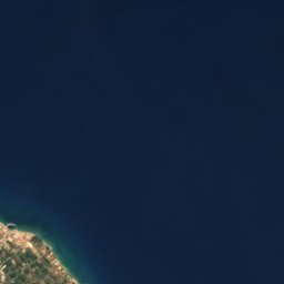
Sterna from above
Nature nearbyAll of Greece

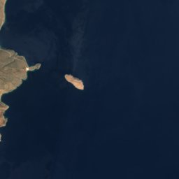
Satellite: Sentinel-2 cloudless 2016 by EOX IT Services GmbH · CC BY 4.0 · Contains modified Copernicus Sentinel data 2016
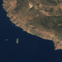
Satellite: Sentinel-2 cloudless 2016 by EOX IT Services GmbH · CC BY 4.0 · Contains modified Copernicus Sentinel data 2016
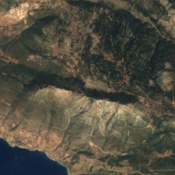
Satellite: Sentinel-2 cloudless 2016 by EOX IT Services GmbH · CC BY 4.0 · Contains modified Copernicus Sentinel data 2016
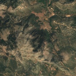
Satellite: Sentinel-2 cloudless 2016 by EOX IT Services GmbH · CC BY 4.0 · Contains modified Copernicus Sentinel data 2016
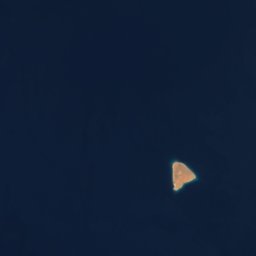
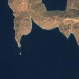
Satellite: Sentinel-2 cloudless 2016 by EOX IT Services GmbH · CC BY 4.0 · Contains modified Copernicus Sentinel data 2016
Summits nearbyMountains of Greece

Stay nearby
Towns close by




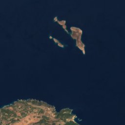

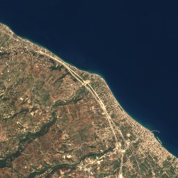
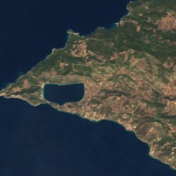
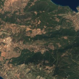
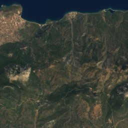
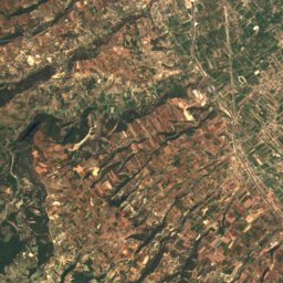
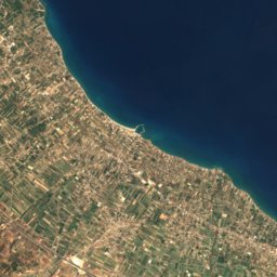
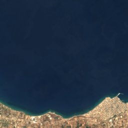
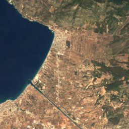
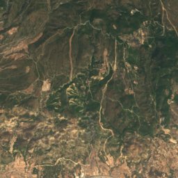
Satellite: Sentinel-2 cloudless 2016 by EOX IT Services GmbH · CC BY 4.0 · Contains modified Copernicus Sentinel data 2016
Loutraki
Peloponnese · 11 km SE
23°Oct high
7wet days
85score

Around here
Perachóra and around
Nature

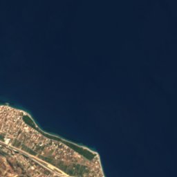
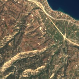
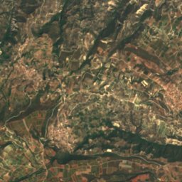
Mountains

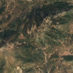
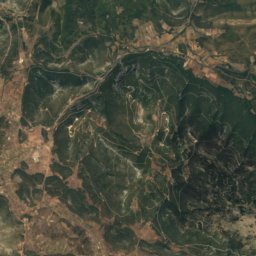
Heritage










Satellite: Sentinel-2 cloudless 2016 by EOX IT Services GmbH · CC BY 4.0 · Contains modified Copernicus Sentinel data 2016
Heraion of Perachora
archaeological site in Greece
Museums













Satellite: Sentinel-2 cloudless 2016 by EOX IT Services GmbH · CC BY 4.0 · Contains modified Copernicus Sentinel data 2016
Historical and Folklore Museum of Corinth
1976