Skip to content
Destinations
Weather & climate
Nature
Outdoors
Culture
Events
Sky & live
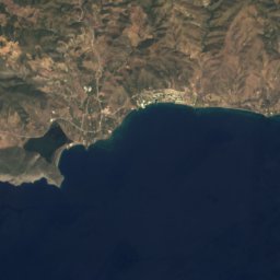
Spathi
Photo: Schuppi · CC BY-SA 4.0 · Wikimedia Commons
SpathiReport this photo · linked, not stored
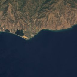
Gali
Photo: Schuppi · CC BY-SA 4.0 · Wikimedia Commons
GaliReport this photo · linked, not stored
Gali
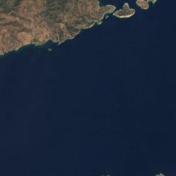
Bourtzi of Poros
Photo: Schuppi · CC BY-SA 4.0 · Wikimedia Commons
Bourtzi of PorosReport this photo · linked, not stored
Bourtzi of Poros
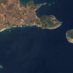
Lazareto, Attica
Photo: Schuppi · CC BY-SA 4.0 · Wikimedia Commons
Lazareto, AtticaReport this photo · linked, not stored
Lazareto, Attica
Modi, Attica
Photo: Schuppi · CC BY-SA 4.0 · Wikimedia Commons
Modi, AtticaReport this photo · linked, not stored
Modi, Attica
IslandPoros, Attica

Spathi

IslandBest Apr–May · Oct
Elevation–above sea level
Area–surface
Nearest townPoros10 km
37.43° N, 23.53° EUTC+3 · Eastern European Summer Time
When to goPoros · weather score
JanFebMarAprMayJunJulAugSepOctNovDec83October
Best timeApr–May · Oct
October: high / low23° / 19°
Island

Spathi in brief

Spathi is an island in Poros, Attica, Greece.

The nearest town in the atlas is Poros, 10 km to the NW, where the weather is best in April, May and October.

Poros: weather and travel guide

Weather nearby now

Forecast for Poros
24°
Sunny now
Wind18 km/h
Humidity84%
Cloud cover6%
Today
22 Oct
26°
20°
Fri
23 Oct
25°
19°
Sat
24 Oct
23°
18°
Sun
25 Oct
22°
18°
Mon
26 Oct
21°
17°
33 mm

Model run 00:00 UTCRefreshed several times a day

When to go

The best months around Spathi

Climate of Poros

Month score in Poros

Comfort, dry days and sunshine · out of 100
45
Jan
52
Feb
66
Mar
85
Apr
86
May
80
Jun
72
Jul
70
Aug
76
Sep
83
Oct
75
Nov
54
Dec
Map

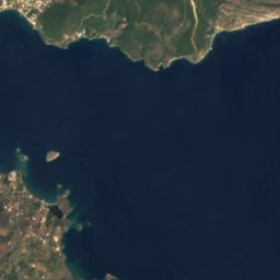
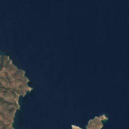
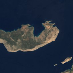
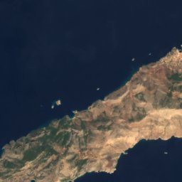
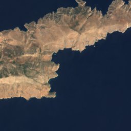
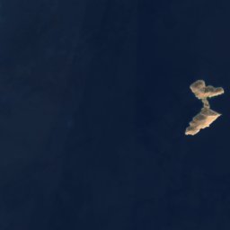
Spathi from above

Nature nearbyAll of Greece
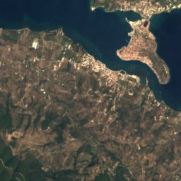
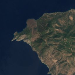
Satellite: Sentinel-2 cloudless 2016 by EOX IT Services GmbH · CC BY 4.0 · Contains modified Copernicus Sentinel data 2016
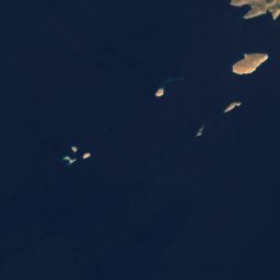
Skylli IslandIsland0.9 kmNESkylli Island
Photo: Schuppi · CC BY-SA 4.0 · Wikimedia CommonsReport this photo · linked, not stored
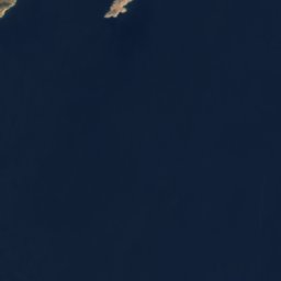
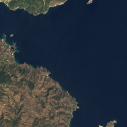
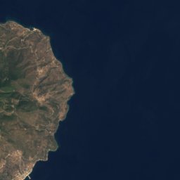
GaliIsland1.1 kmWGali
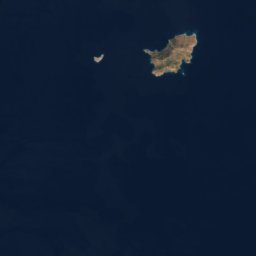
Satellite: Sentinel-2 cloudless 2016 by EOX IT Services GmbH · CC BY 4.0 · Contains modified Copernicus Sentinel data 2016
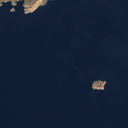
Soupia isletIsland3.8 kmWSoupia islet
Photo: Schuppi · CC BY-SA 4.0 · Wikimedia CommonsReport this photo · linked, not stored
Bourtzi of PorosIsland8.2 kmNWBourtzi of Poros
Photo: Schuppi · CC BY-SA 4.0 · Wikimedia CommonsReport this photo · linked, not stored
Lazareto, AtticaIsland8.4 kmNWLazareto, Attica
Photo: Schuppi · CC BY-SA 4.0 · Wikimedia CommonsReport this photo · linked, not stored
Modi, AtticaIsland8.5 kmNModi, Attica
Summits nearbyMountains of Greece
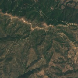
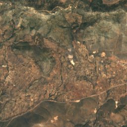
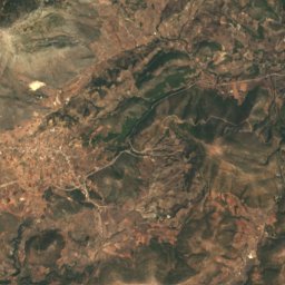
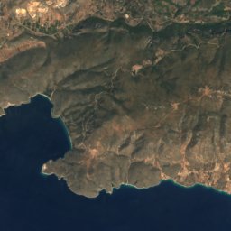
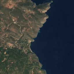
Satellite: Sentinel-2 cloudless 2016 by EOX IT Services GmbH · CC BY 4.0 · Contains modified Copernicus Sentinel data 2016
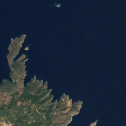
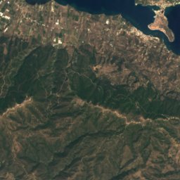
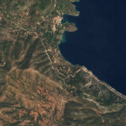
Aderes16 km W786 mJuly 26°Aderes
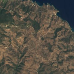
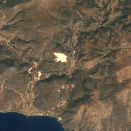
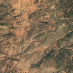
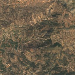
Satellite: Sentinel-2 cloudless 2016 by EOX IT Services GmbH · CC BY 4.0 · Contains modified Copernicus Sentinel data 2016
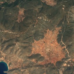
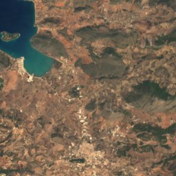
Eros13 km SW588 mJuly 24°Eros
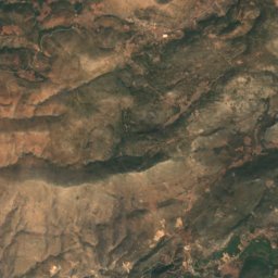
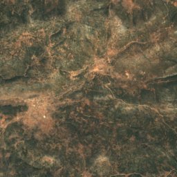
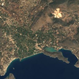
Satellite: Sentinel-2 cloudless 2016 by EOX IT Services GmbH · CC BY 4.0 · Contains modified Copernicus Sentinel data 2016
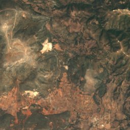
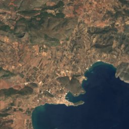
Pirgos13 km SW558 mJuly 25°Pirgos
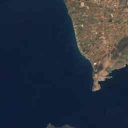
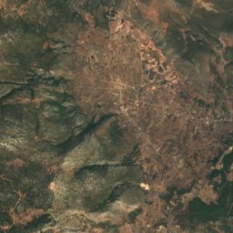
Satellite: Sentinel-2 cloudless 2016 by EOX IT Services GmbH · CC BY 4.0 · Contains modified Copernicus Sentinel data 2016
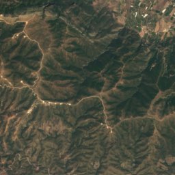
Kastron8.0 km W224 mJuly 26°Kastron
Stay nearby

Towns close by

Poros
Photo: Vlahos Vaggelis · CC BY 3.0 · Wikimedia CommonsReport this photo · linked, not stored

Poros

Attica · 10 km NW
23°Oct high
7wet days
83score
Poros
Galatas
Photo: Georgios Pazios (Alaniaris) · Attribution · Wikimedia CommonsReport this photo · linked, not stored

Galatas

Attica · 10 km NW
23°Oct high
7wet days
83score
Galatas
Ýdra
Photo: C messier · CC BY-SA 4.0 · Wikimedia CommonsReport this photo · linked, not stored

Ýdra

Attica · 11 km SW
23°Oct high
7wet days
83score
Ýdra
Satellite: Sentinel-2 cloudless 2016 by EOX IT Services GmbH · CC BY 4.0 · Contains modified Copernicus Sentinel data 2016

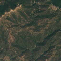
Troizína

Attica · 17 km NW
23°Oct high
7wet days
83score
Troizína
Around here

Poros and around

Poros
Photo: Vlahos Vaggelis · CC BY 3.0 · Wikimedia CommonsReport this photo · linked, not stored

Poros

Attica · Greece
Apr–May · Octbest months
30°July high
23 maltitude
Poros

Nature

Psifta lagoon
Photo: Schuppi · CC BY-SA 4.0 · Wikimedia CommonsReport this photo · linked, not stored
11 km W

Psifta lagoon

Lake
Psifta lagoon
Peristeri Cave
Photo: Schuppi · CC BY-SA 4.0 · Wikimedia CommonsReport this photo · linked, not stored
12 km NW

Peristeri Cave

Cave
Peristeri Cave
Lekani
Photo: ΖῷονΠολιτικόν · CC BY-SA 4.0 · Wikimedia CommonsReport this photo · linked, not stored
23 km NW

Lekani

Lake
Lekani

Mountains

Ortholithi
Photo: Costas78 · CC BY-SA 3.0 · Wikimedia CommonsReport this photo · linked, not stored
19 km W

Ortholithi

1,103 m
Ortholithi
Satellite: Sentinel-2 cloudless 2016 by EOX IT Services GmbH · CC BY 4.0 · Contains modified Copernicus Sentinel data 2016
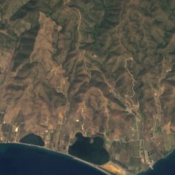
22 km W

Koni

842 m
Koni
Satellite: Sentinel-2 cloudless 2016 by EOX IT Services GmbH · CC BY 4.0 · Contains modified Copernicus Sentinel data 2016
34 km W

Kynortio

820 m
Kynortio

Heritage

Bourtzi of Poros
Photo: Schuppi · CC BY-SA 4.0 · Wikimedia CommonsReport this photo · linked, not stored
2.1 km SE

Bourtzi of Poros

archaeological site in Greece
Bourtzi of Poros
Modi
Photo: Schuppi · CC BY-SA 4.0 · Wikimedia CommonsReport this photo · linked, not stored
6.9 km E

Modi

archaeological site in Greece
Modi
Acropolis Palaiokastro
Photo: Schuppi · CC BY-SA 3.0 · Wikimedia CommonsReport this photo · linked, not stored
13 km NW

Acropolis Palaiokastro

archaeological site in Greece
Acropolis Palaiokastro

Museums

Archaeological Museum of Poros
Photo: Schuppi · CC BY-SA 3.0 · Wikimedia CommonsReport this photo · linked, not stored
0.1 km SE

Archaeological Museum of Poros

Archaeological museum
Archaeological Museum of Poros