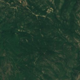
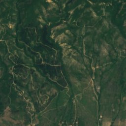
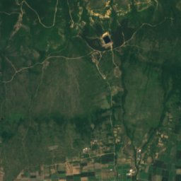
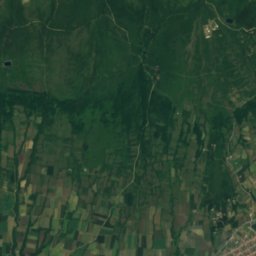
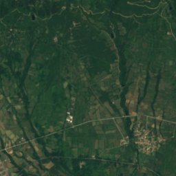
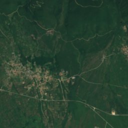
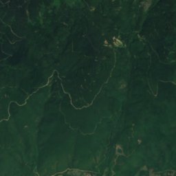
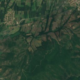
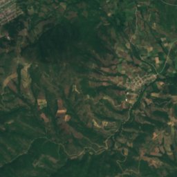
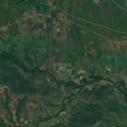
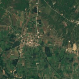
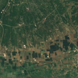
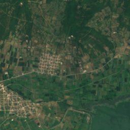
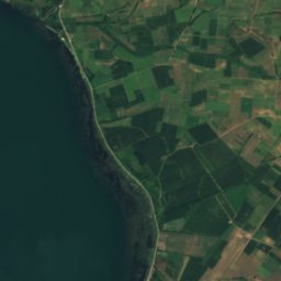
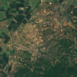
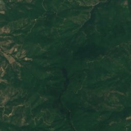
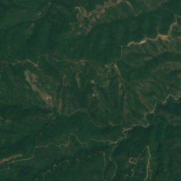
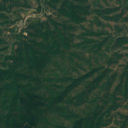
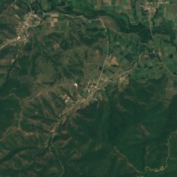
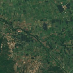
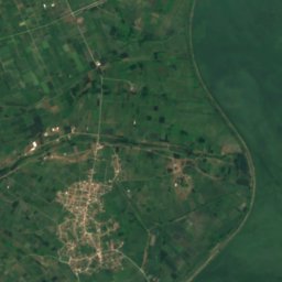
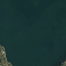
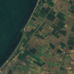
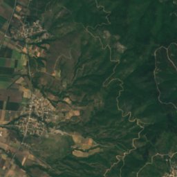
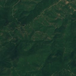
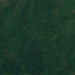
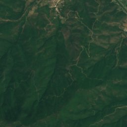
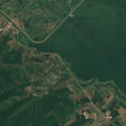
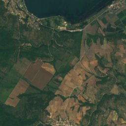
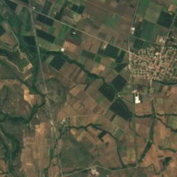
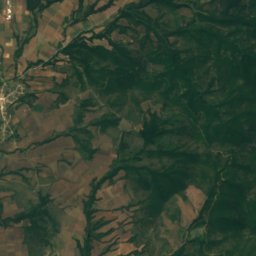
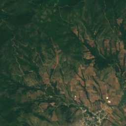
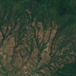
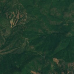
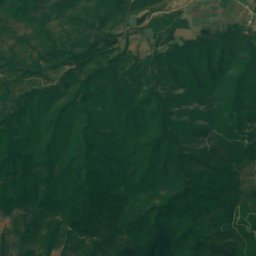
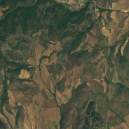
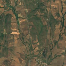
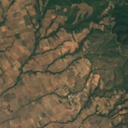
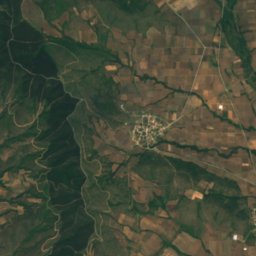
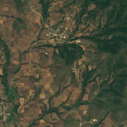
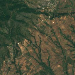
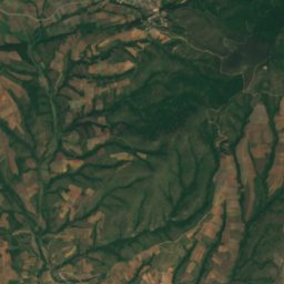
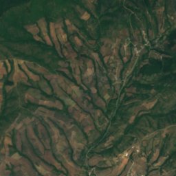
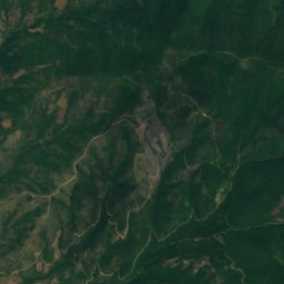
Satellite: Sentinel-2 cloudless 2016 by EOX IT Services GmbH · CC BY 4.0 · Contains modified Copernicus Sentinel data 2016

Photo: Македонец · CC BY-SA 3.0 · Wikimedia Commons
Dojran LakeReport this photo · linked, not stored
Dojran LakeDojran LakeReport this photo · linked, not stored

Photo: Eimaiokanenas · CC BY-SA 4.0 · Wikimedia Commons
Lake KerkiniReport this photo · linked, not stored
Lake KerkiniLake KerkiniReport this photo · linked, not stored

Photo: Vlahos Vaggelis · CC BY 3.0 · Wikimedia Commons
Lake Kerkini National ParkReport this photo · linked, not stored
Lake Kerkini National ParkLake Kerkini National ParkReport this photo · linked, not stored

Photo: This illustration was made by Rašo. An email to Rašo would be appreciated too. · CC BY-SA 3.0 · Wikimedia Commons
Smolare FallsReport this photo · linked, not stored
Smolare FallsSmolare FallsReport this photo · linked, not stored
RiverPalatiano, Central Macedonia
Spanos
RiverBest Apr · Sep–Oct
Elevation–above sea level
Length31 kmsource to mouth
Nearest townPalatiano6.7 km
41.19° N, 22.94° EUTC+2 · Eastern European Standard Time
When to goPalatiano · weather score
Best timeApr · Sep–Oct
October: high / low20° / 10°
River
Spanos in brief
Spanos is a river in Palatiano, Central Macedonia, Greece.
The nearest town is Palatiano, 6.7 km to the S, where the weather is best in April, September and October.
Spanos is 31 km long.
Weather nearby now
Forecast for Palatiano17°
Partly cloudy now
Today
25 Oct
18°
12°
Mon
26 Oct
20°
11°
Tue
27 Oct
17°
7°
Wed
28 Oct
18°
5°
Thu
29 Oct
20°
8°
Model run 00:00 UTCRefreshed several times a day
The course of the river
As mapped in OpenStreetMap, with the towns along its banks.sourcemouth (or where the mapped line leaves the country)
When to go
Climate of PalatianoThe best months around Spanos
Month score in Palatiano
Comfort, dry days and sunshine · out of 10032
Jan
33
Feb
52
Mar
73
Apr
69
May
47
Jun
44
Jul
48
Aug
71
Sep
82
Oct
54
Nov
28
Dec
Map
Spanos from above
Nature nearbyAll of Greece


Photo: This illustration was made by Rašo. An email to Rašo would be appreciated too. · CC BY-SA 3.0 · Wikimedia CommonsReport this photo · linked, not stored
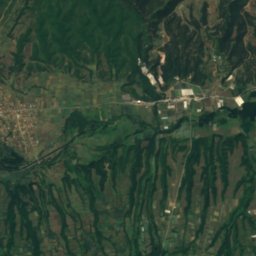
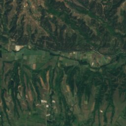
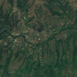
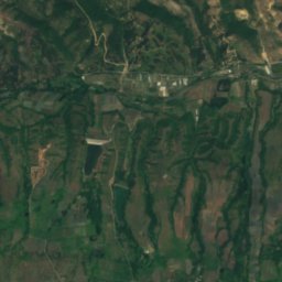
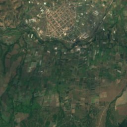
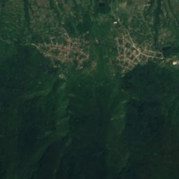
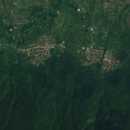
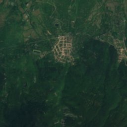
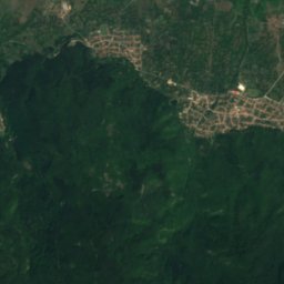
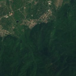
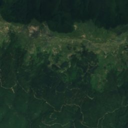
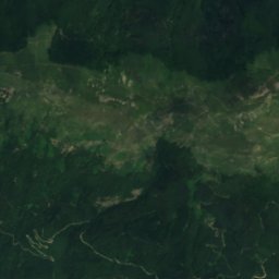
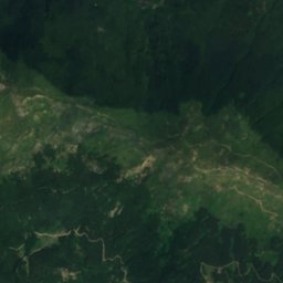
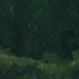
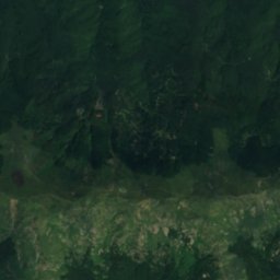
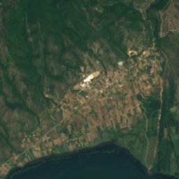
Satellite: Sentinel-2 cloudless 2016 by EOX IT Services GmbH · CC BY 4.0 · Contains modified Copernicus Sentinel data 2016

Summits nearbyMountains of Greece


Photo: Deyan Vasilev ( Dido3 ) · CC BY-SA 4.0 · Wikimedia CommonsReport this photo · linked, not stored

Photo: Deyan Vasilev ( Dido3 ) · CC BY-SA 3.0 · Wikimedia CommonsReport this photo · linked, not stored
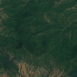
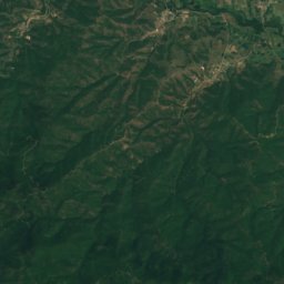
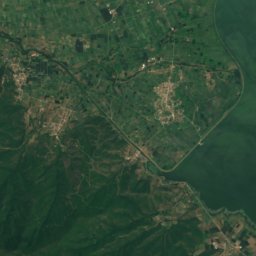
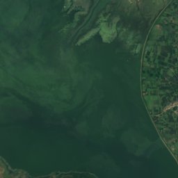
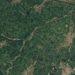
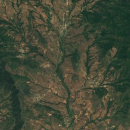
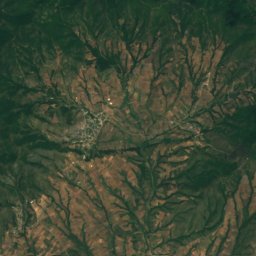
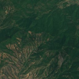
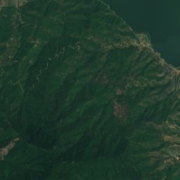
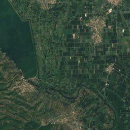
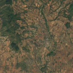
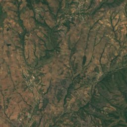
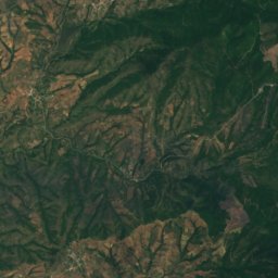
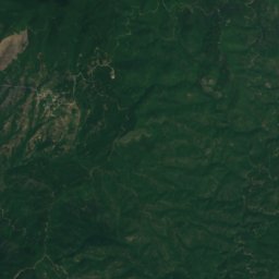
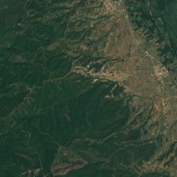
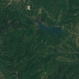
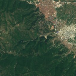
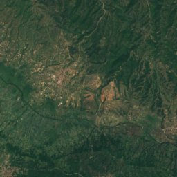
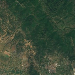
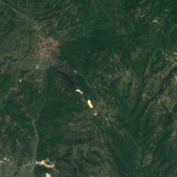
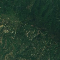
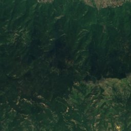
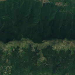
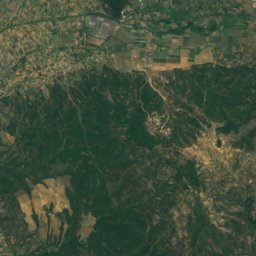
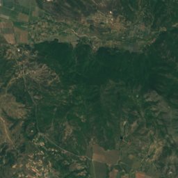
Satellite: Sentinel-2 cloudless 2016 by EOX IT Services GmbH · CC BY 4.0 · Contains modified Copernicus Sentinel data 2016
Stay nearby
Towns close by


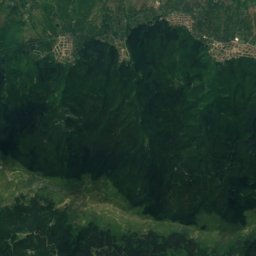
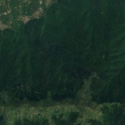
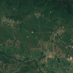
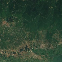
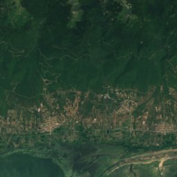
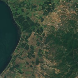
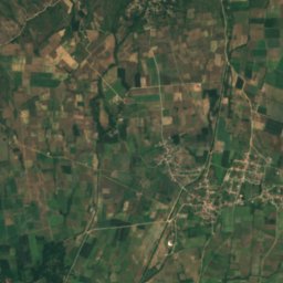
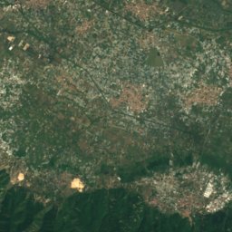
Satellite: Sentinel-2 cloudless 2016 by EOX IT Services GmbH · CC BY 4.0 · Contains modified Copernicus Sentinel data 2016
Rodopoli
Central Macedonia · 9.2 km NE
22°Oct high
8wet days
82score
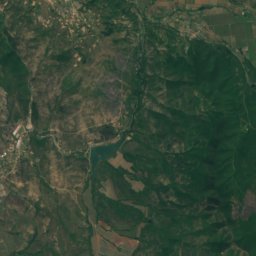
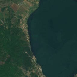
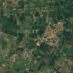
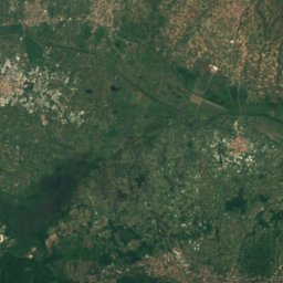
Satellite: Sentinel-2 cloudless 2016 by EOX IT Services GmbH · CC BY 4.0 · Contains modified Copernicus Sentinel data 2016
Kastanoussa
Central Macedonia · 9.8 km N
21°Oct high
8wet days
82score
Around here
Palatiano and around
Nature
Mountains


Photo: Deyan Vasilev ( Dido3 ) · CC BY-SA 4.0 · Wikimedia CommonsReport this photo · linked, not stored
Kongur
1,951 m · Belasica