

Photo: Michalakopoulos Alexis · CC BY-SA 4.0 · Wikimedia Commons
Lake DopoliReport this photo · linked, not stored
Lake DopoliLake DopoliReport this photo · linked, not stored

Photo: Nicholas Papastamatiou · CC BY-SA 4.0 · Wikimedia Commons
Cave of NestorReport this photo · linked, not stored
Cave of NestorCave of NestorReport this photo · linked, not stored

Photo: Grzontan · CC BY-SA 3.0 · Wikimedia Commons
Voidokilia beachReport this photo · linked, not stored
Voidokilia beachVoidokilia beachReport this photo · linked, not stored
IslandMarathópolis, Peloponnese
Proti
IslandBest Apr–May · Oct
Elevation–above sea level
Area3.1 km²surface
Nearest townMarathópolis2.7 km
37.05° N, 21.55° EUTC+3 · Eastern European Summer Time
When to goMarathópolis · weather score
Best timeApr–May · Oct
October: high / low25° / 15°
Island
Proti in brief
Proti is an island in Marathópolis, Peloponnese, Greece.
It covers about 3.1 km².
The nearest town in the atlas is Marathópolis, 2.7 km to the E, where the weather is best in April, May and October.
Weather nearby now
Forecast for Marathópolis22°
Clear now
Today
22 Oct
25°
19°
2 mm
Fri
23 Oct
25°
18°
1 mm
Sat
24 Oct
24°
18°
Sun
25 Oct
24°
16°
18 mm
Mon
26 Oct
24°
14°
23 mm
Model run 00:00 UTCRefreshed several times a day
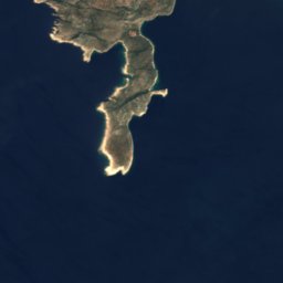
The island from above
3.1 km² · coastline as mapped in OpenStreetMapWhen to go
Climate of MarathópolisThe best months around Proti
Month score in Marathópolis
Comfort, dry days and sunshine · out of 10054
Jan
58
Feb
72
Mar
85
Apr
86
May
78
Jun
71
Jul
68
Aug
69
Sep
79
Oct
73
Nov
60
Dec
Map
Proti from above
Nature nearbyAll of Greece
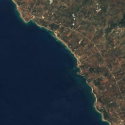
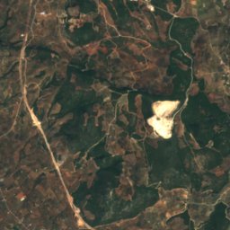
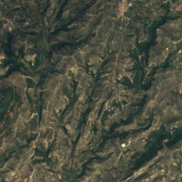
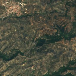

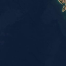
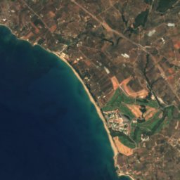
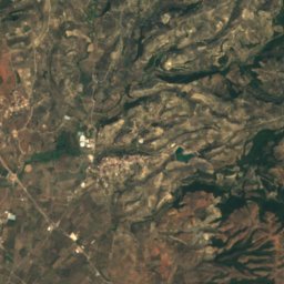
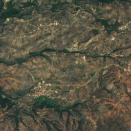


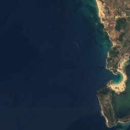
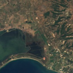
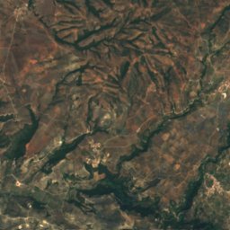
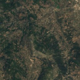
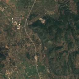
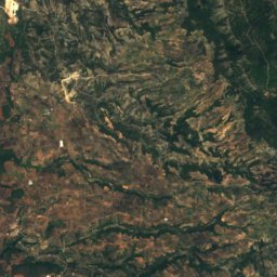
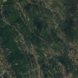
Satellite: Sentinel-2 cloudless 2016 by EOX IT Services GmbH · CC BY 4.0 · Contains modified Copernicus Sentinel data 2016
Satellite: Sentinel-2 cloudless 2016 by EOX IT Services GmbH · CC BY 4.0 · Contains modified Copernicus Sentinel data 2016
Satellite: Sentinel-2 cloudless 2016 by EOX IT Services GmbH · CC BY 4.0 · Contains modified Copernicus Sentinel data 2016

Photo: Michalakopoulos Alexis · CC BY-SA 4.0 · Wikimedia CommonsReport this photo · linked, not stored

Photo: Nicholas Papastamatiou · CC BY-SA 4.0 · Wikimedia CommonsReport this photo · linked, not stored

Stay nearby
Towns close by


Around here
Marathópolis and around
Nature

Photo: Michalakopoulos Alexis · CC BY-SA 4.0 · Wikimedia CommonsReport this photo · linked, not stored
Lake Dopoli
Lake
Photo: Nicholas Papastamatiou · CC BY-SA 4.0 · Wikimedia CommonsReport this photo · linked, not stored
Cave of Nestor
Cave
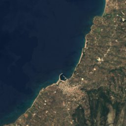
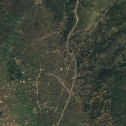
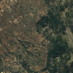
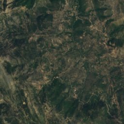
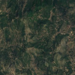
Satellite: Sentinel-2 cloudless 2016 by EOX IT Services GmbH · CC BY 4.0 · Contains modified Copernicus Sentinel data 2016
Anidhro islet
Island
Mountains
Heritage


Church of Metamorfoseos tou Sotiros Christianoupoleos
protected building in Greece · 1100


