
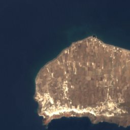






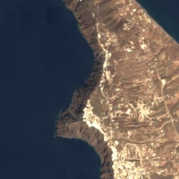
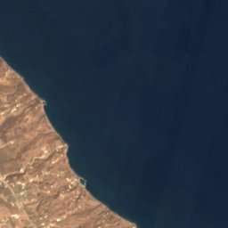





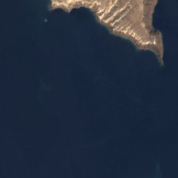
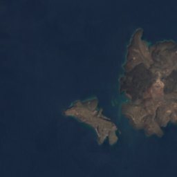
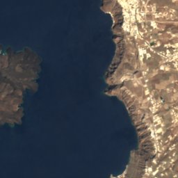
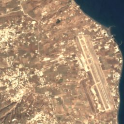





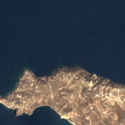
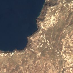
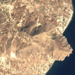



















Satellite: Sentinel-2 cloudless 2016 by EOX IT Services GmbH · CC BY 4.0 · Contains modified Copernicus Sentinel data 2016

Photo: Wolfgang Staudt from Saarbruecken, Germany · CC BY 2.0 · Wikimedia Commons
PerivolosReport this photo · linked, not stored
PerivolosPerivolosReport this photo · linked, not stored
 Kamari 1
 Vlichada

Photo: Norbert Nagel · CC BY-SA 3.0 · Wikimedia Commons
Santorini calderaReport this photo · linked, not stored
Santorini calderaSantorini calderaReport this photo · linked, not stored
BeachPerissa, South Aegean
Perissa
BeachBest Jun–Aug
Elevation–above sea level
Water qualityExcellentEU · 2025
Nearest townPerissa0.3 km
36.35° N, 25.47° EUTC+3 · Eastern European Summer Time
When to goPerissa · weather score
Best timeJun–Aug
October: high / low21° / 20°
Beach
Perissa in brief
Perissa is a beach in Perissa, South Aegean, Greece — tourist beach.
The nearest town in the atlas is Perissa, 0.3 km to the NW, where the weather is best in June, July and August.
Bathing water quality (EU, 2025): excellent.
The sea is warmest in August, at about 24°C.
Weather nearby now
Forecast for Perissa22°
Sunny now
Today
22 Oct
22°
21°
Fri
23 Oct
22°
21°
Sat
24 Oct
21°
20°
Sun
25 Oct
20°
19°
Mon
26 Oct
21°
18°
17 mm
Model run 00:00 UTCRefreshed several times a day
Sea and air through the year
Sea surface temperature off the coast and the average daily high in Perissa, month by month.Jan16°14°
Feb16°14°
Mar16°15°
Apr17°17°
May19°19°
Jun22°23°
Jul24°25°
Aug24°25°
Sep24°24°
Oct22°21°
Nov20°18°
Dec18°16°
seaair, daily high
When to go
Climate of PerissaThe best months around Perissa
Month score in Perissa
Comfort, dry days and sunshine · out of 10048
Jan
50
Feb
67
Mar
81
Apr
91
May
97
Jun
99
Jul
99
Aug
93
Sep
86
Oct
78
Nov
56
Dec
Map
Perissa from above
Nature nearbyAll of Greece

Photo: Wolfgang Staudt from Saarbruecken, Germany · CC BY 2.0 · Wikimedia CommonsReport this photo · linked, not stored
Satellite: Sentinel-2 cloudless 2016 by EOX IT Services GmbH · CC BY 4.0 · Contains modified Copernicus Sentinel data 2016
Satellite: Sentinel-2 cloudless 2016 by EOX IT Services GmbH · CC BY 4.0 · Contains modified Copernicus Sentinel data 2016
Satellite: Sentinel-2 cloudless 2016 by EOX IT Services GmbH · CC BY 4.0 · Contains modified Copernicus Sentinel data 2016

Summits nearbyMountains of Greece


Photo: Κλέαρχος Π. Καπούτσης · Attribution · Wikimedia CommonsReport this photo · linked, not stored
Stay nearby
Towns close by




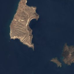
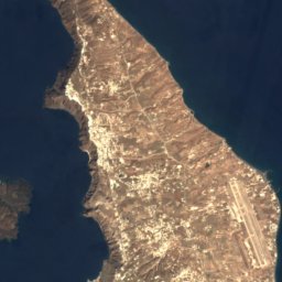



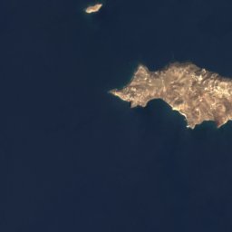
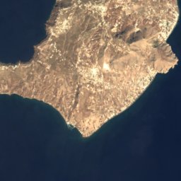


Satellite: Sentinel-2 cloudless 2016 by EOX IT Services GmbH · CC BY 4.0 · Contains modified Copernicus Sentinel data 2016
Perissa
South Aegean · 0.3 km NW
21°Oct high
6wet days
86score

Photo: The original uploader was Klearchoskapoutsis at Greek Wikipedia. · Attribution · Wikimedia CommonsReport this photo · linked, not stored
Emporeio
South Aegean · 2.5 km W
21°Oct high
6wet days
86score


Photo: User: Bgabel at wikivoyage shared · CC BY-SA 3.0 · Wikimedia CommonsReport this photo · linked, not stored
Pyrgos Kallistis
South Aegean · 3.9 km NW
20°Oct high
6wet days
86score
Around here
Perissa and around
Nature


Photo: Κλέαρχος Π. Καπούτσης · Attribution · Wikimedia CommonsReport this photo · linked, not stored
Palea Kameni
Island · 98 m
Mountains



Satellite: Sentinel-2 cloudless 2016 by EOX IT Services GmbH · CC BY 4.0 · Contains modified Copernicus Sentinel data 2016
Nea Kameni
114 m
Satellite: Sentinel-2 cloudless 2016 by EOX IT Services GmbH · CC BY 4.0 · Contains modified Copernicus Sentinel data 2016
Palea Kameni
98 m
Heritage










Satellite: Sentinel-2 cloudless 2016 by EOX IT Services GmbH · CC BY 4.0 · Contains modified Copernicus Sentinel data 2016
Nea Kameni
Natura 2000


Museums


Photo: Klearchos Kapoutsis from Santorini, Greece · CC BY 2.0 · Wikimedia CommonsReport this photo · linked, not stored


