




















Skip to content
Destinations
Weather & climate
Nature
Outdoors
Culture
Events
Sky & live
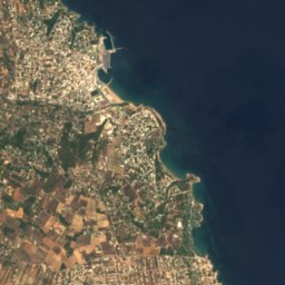
Satellite: Sentinel-2 cloudless 2016 by EOX IT Services GmbH · CC BY 4.0 · Contains modified Copernicus Sentinel data 2016
Raphtis Island
Photo: Schuppi · CC BY-SA 3.0 · Wikimedia Commons
Raphtis IslandReport this photo · linked, not stored
Raphtis Island
Hymettus
Photo: George E. Koronaios · CC BY-SA 4.0 · Wikimedia Commons
HymettusReport this photo · linked, not stored
Hymettus
Stavraetos
Photo: C messier · CC BY-SA 4.0 · Wikimedia Commons
StavraetosReport this photo · linked, not stored
Stavraetos
IslandPorto Rafti, Attica

Perati

IslandBest Mar–Apr · Oct
Elevation–above sea level
Area0.1 km²surface
Nearest townPorto Rafti4.6 km
37.92° N, 24.04° EUTC+3 · Eastern European Summer Time
When to goPorto Rafti · weather score
JanFebMarAprMayJunJulAugSepOctNovDec84October
Best timeMar–Apr · Oct
October: high / low25° / 16°
Island

Perati in brief

Perati is an island in Porto Rafti, Attica, Greece.

It covers about 0.1 km².

The nearest town in the atlas is Porto Rafti, 4.6 km to the SW, where the weather is best in March, April and October.

Porto Rafti: weather and travel guide

Weather nearby now

Forecast for Porto Rafti
24°
Sunny now
Wind16 km/h
Humidity76%
Cloud cover9%
Today
22 Oct
26°
20°
Fri
23 Oct
24°
20°
1 mm
Sat
24 Oct
23°
16°
Sun
25 Oct
21°
16°
Mon
26 Oct
22°
17°
14 mm

Model run 00:00 UTCRefreshed several times a day

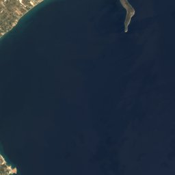
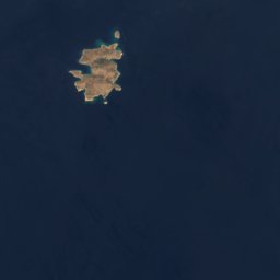
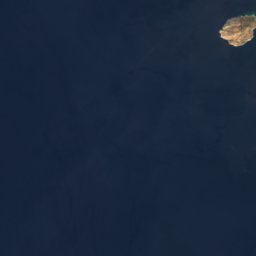
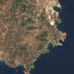
The island from above

0.1 km² · coastline as mapped in OpenStreetMap
100 m
When to go

The best months around Perati

Climate of Porto Rafti

Month score in Porto Rafti

Comfort, dry days and sunshine · out of 100
Map

Perati from above

Nature nearbyAll of Greece
Satellite: Sentinel-2 cloudless 2016 by EOX IT Services GmbH · CC BY 4.0 · Contains modified Copernicus Sentinel data 2016
VraonaIsland2.8 kmNWVraona
Satellite: Sentinel-2 cloudless 2016 by EOX IT Services GmbH · CC BY 4.0 · Contains modified Copernicus Sentinel data 2016
ErotospiliaBeach2.9 kmSErotospilia
Satellite: Sentinel-2 cloudless 2016 by EOX IT Services GmbH · CC BY 4.0 · Contains modified Copernicus Sentinel data 2016
Raftopoula isletIsland3.6 kmSRaftopoula islet
Photo: Schuppi · CC BY-SA 3.0 · Wikimedia CommonsReport this photo · linked, not stored
Raphtis IslandIsland4.0 kmSRaphtis Island
Satellite: Sentinel-2 cloudless 2016 by EOX IT Services GmbH · CC BY 4.0 · Contains modified Copernicus Sentinel data 2016
Dolini Vraonas CaveCave4.1 kmWDolini Vraonas Cave
Satellite: Sentinel-2 cloudless 2016 by EOX IT Services GmbH · CC BY 4.0 · Contains modified Copernicus Sentinel data 2016
Praso, AtticaIsland4.5 kmSPraso, Attica
Summits nearbyMountains of Greece
Satellite: Sentinel-2 cloudless 2016 by EOX IT Services GmbH · CC BY 4.0 · Contains modified Copernicus Sentinel data 2016
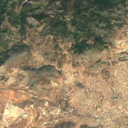
Penteliko Mountain23 km NW1,109 mJuly 27°Penteliko Mountain
Photo: George E. Koronaios · CC BY-SA 4.0 · Wikimedia CommonsReport this photo · linked, not stored
Hymettus20 km W1,026 mJuly 28°Hymettus
Satellite: Sentinel-2 cloudless 2016 by EOX IT Services GmbH · CC BY 4.0 · Contains modified Copernicus Sentinel data 2016
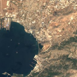
Evzonos20 km W1,026 mJuly 27°Evzonos
Photo: C messier · CC BY-SA 4.0 · Wikimedia CommonsReport this photo · linked, not stored
Stavraetos22 km W625 mJuly 29°Stavraetos
Satellite: Sentinel-2 cloudless 2016 by EOX IT Services GmbH · CC BY 4.0 · Contains modified Copernicus Sentinel data 2016
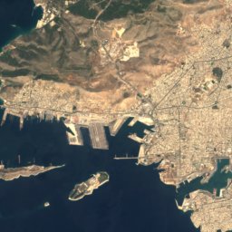
Birza21 km NW622 mJuly 29°Birza
Satellite: Sentinel-2 cloudless 2016 by EOX IT Services GmbH · CC BY 4.0 · Contains modified Copernicus Sentinel data 2016
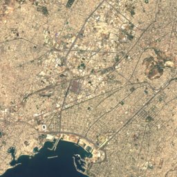
Laureotic Olympus21 km SW487 mJuly 30°Laureotic Olympus
Stay nearby

Towns close by

Porto Rafti
Photo: Abocanto · CC0 · Wikimedia CommonsReport this photo · linked, not stored

Porto Rafti

Attica · 4.6 km SW
25°Oct high
6wet days
84score
Porto Rafti
Artemida
Photo: Hansueli Krapf · CC BY-SA 3.0 · Wikimedia CommonsReport this photo · linked, not stored

Artemida

Attica · 6.8 km NW
25°Oct high
6wet days
84score
Artemida
Agia Kyriakií Spáton
Photo: Abocanto · CC0 · Wikimedia CommonsReport this photo · linked, not stored

Agia Kyriakií Spáton

Attica · 10 km NW
25°Oct high
6wet days
85score
Agia Kyriakií Spáton
Markopoulo Mesogaias
Photo: C messier · CC BY-SA 4.0 · Wikimedia CommonsReport this photo · linked, not stored

Markopoulo Mesogaias

Attica · 10 km W
25°Oct high
6wet days
85score
Markopoulo Mesogaias
Around here

Porto Rafti and around

Porto Rafti
Photo: Abocanto · CC0 · Wikimedia CommonsReport this photo · linked, not stored

Porto Rafti

Attica · Greece
Mar–Apr · Octbest months
35°July high
21 maltitude
Porto Rafti

Nature

Satellite: Sentinel-2 cloudless 2016 by EOX IT Services GmbH · CC BY 4.0 · Contains modified Copernicus Sentinel data 2016
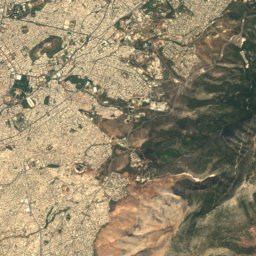
2.8 km N

Dolini Vraonas Cave

Cave
Dolini Vraonas Cave
Lake Vouliagmeni
Photo: C messier · CC0 · Wikimedia CommonsReport this photo · linked, not stored
21 km SW

Lake Vouliagmeni

Lake · 1 m
Lake Vouliagmeni
Davelis Cave
Photo: NikosFF · CC BY-SA 4.0 · Wikimedia CommonsReport this photo · linked, not stored
23 km NW

Davelis Cave

Cave · 720 m
Davelis Cave

Mountains

Satellite: Sentinel-2 cloudless 2016 by EOX IT Services GmbH · CC BY 4.0 · Contains modified Copernicus Sentinel data 2016
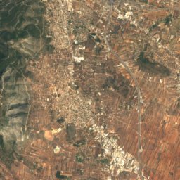
24 km NW

Penteliko Mountain

1,109 m
Penteliko Mountain
Hymettus
Photo: George E. Koronaios · CC BY-SA 4.0 · Wikimedia CommonsReport this photo · linked, not stored
17 km W

Hymettus

1,026 m
Hymettus
Satellite: Sentinel-2 cloudless 2016 by EOX IT Services GmbH · CC BY 4.0 · Contains modified Copernicus Sentinel data 2016
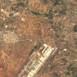
18 km W

Evzonos

1,026 m
Evzonos

Heritage

Brauron
Photo: C messier · CC BY-SA 4.0 · Wikimedia CommonsReport this photo · linked, not stored
4.0 km N

Brauron

archaeological site in Greece
Brauron
Church of Panayia Varaba
Photo: C messier · CC BY-SA 4.0 · Wikimedia CommonsReport this photo · linked, not stored
6.4 km W

Church of Panayia Varaba

protected building in Greece
Church of Panayia Varaba
Raphtis Island
Photo: Schuppi · CC BY-SA 3.0 · Wikimedia CommonsReport this photo · linked, not stored
3.8 km E

Raphtis Island

archaeological site in Greece
Raphtis Island

Museums

Archaeological Museum of Brauron
Photo: Sp!ros · CC BY-SA 4.0 · Wikimedia CommonsReport this photo · linked, not stored
3.8 km N

Archaeological Museum of Brauron

Archaeological museum
Archaeological Museum of Brauron
Athens International Airport Archaeological Collection
Photo: Photograph by Mike Peel (www.mikepeel.net). · CC BY-SA 4.0 · Wikimedia CommonsReport this photo · linked, not stored
7.0 km NW

Athens International Airport Archaeological Collection

Archaeological museum · 2003
Athens International Airport Archaeological Collection
Satellite: Sentinel-2 cloudless 2016 by EOX IT Services GmbH · CC BY 4.0 · Contains modified Copernicus Sentinel data 2016

11 km W

Koropi First Cemetery

Sculpture garden
Koropi First Cemetery